
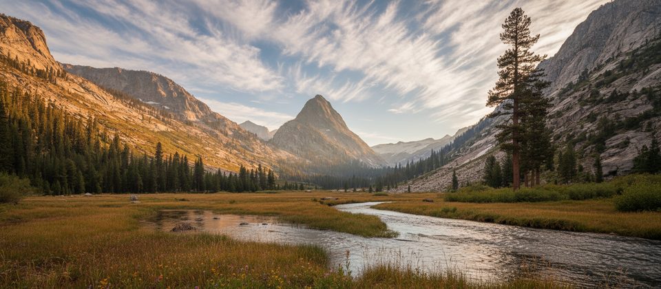
Place · 1.9 mi away
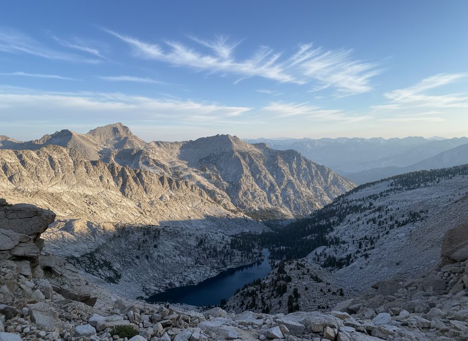
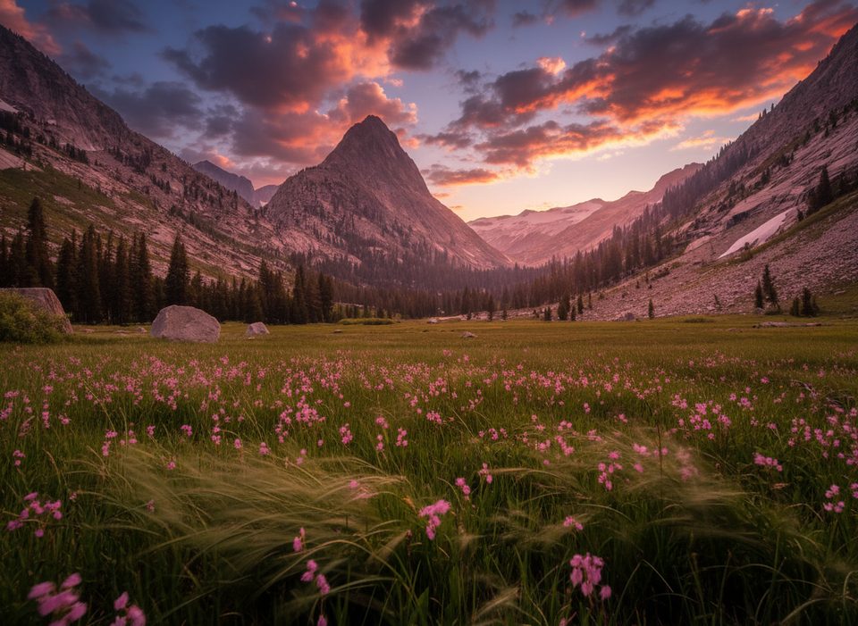
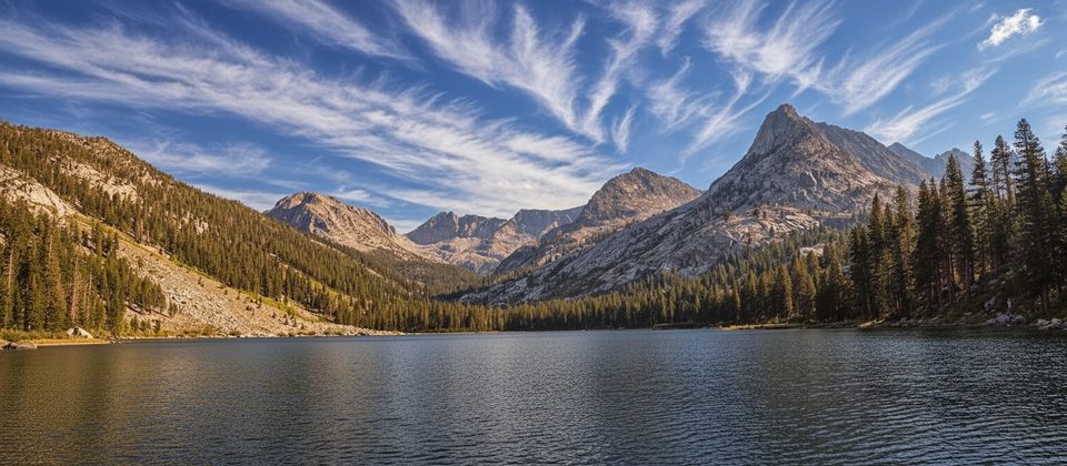
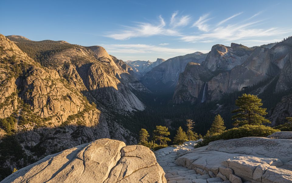
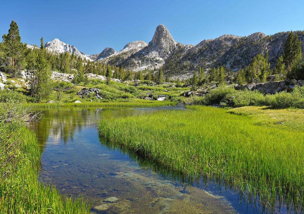
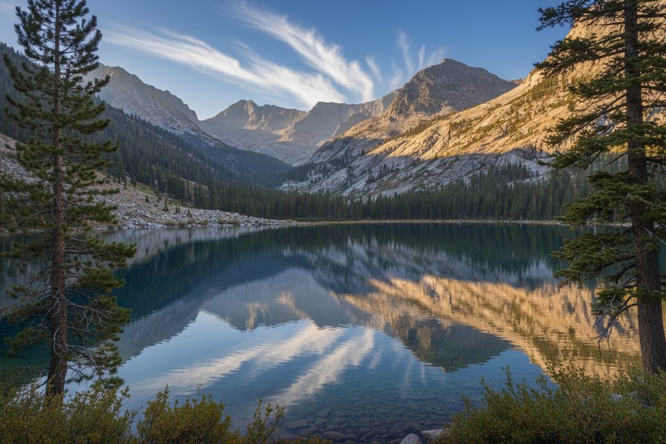
Colby Pass sits high above Cloud Canyon, linking one of the park’s most dramatic glacial valleys with big alpine country. The approach along the Colby Pass Trail is classic Sierra: granite slabs, airy vistas, and a steady climb toward cobalt Colby Lake. It’s a quieter alternative to the main corridor trails—expect solitude once you’re past the Road’s End hub.
From Cloud Canyon, the Colby Pass Trail wraps around the north and then east sides of the Whaleback before reaching the Colby Lake area. Reports describe the trail in this stretch as clear and straightforward. If you’re continuing on more ambitious routes (like segments of the Kings Canyon High Basin Route), expect slower travel on talus and possible snow once you leave the maintained trail near Colby Lake.
Many backpackers start from Road’s End in Cedar Grove, linking Avalanche Pass → Roaring River/Cloud Canyon → Colby Lake → Colby Pass, then looping back via the Kern drainage and Bubbs Creek/JMT. Road’s End has a wilderness permit station and vault restrooms, with parking nearby. You’ll see heavier use near Road’s End and along JMT segments, then a big drop in people up Cloud Canyon and on the Colby Pass Trail.
Water is reliable along Roaring River/Cloud Canyon and at Colby Lake. Lower Cloud Canyon has flat camping, and there are a couple of locked bear boxes on the maintained trail in that area before the junction with the Colby Pass Trail. Early in the season or high‑snowpack years, expect marshy sections in the canyon and be conservative with creek crossings—scout for safer options and consider time of day.
Early summer can bring snow on nearby high passes and firm, icy mornings; late‑season cornices have been noted on neighboring passes. July–August are popular but can be hot with more bugs. September often offers cooler temps, fewer insects, and lower water, making it a sweet spot for this route. If snow lingers, move early on firm surfaces and be prepared to turn back or use alternates.
Deer are commonly seen in these high basins—even navigating surprising terrain near high passes. Keep food secured and your distance from wildlife.
Place · 1.9 mi away
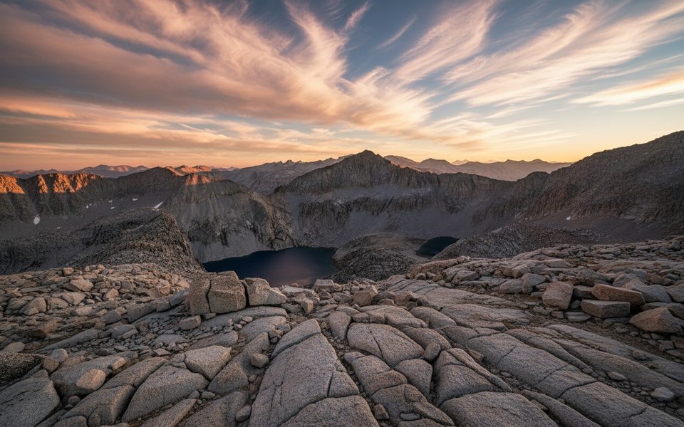
Place · 2.4 mi away
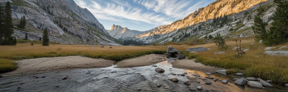
Place · 4.4 mi away
Place · 5.2 mi away
Challenging · 13 mi away
Challenging · 13 mi away
Challenging · 13 mi away
Challenging · 13 mi away

Parkwolf Tour Guide
