East Vidette

A dramatic Sierra peak towering above Vidette Meadow with sweeping views
East Vidette, Kings Canyon National Park
InsideKings Canyon National Park

Overview

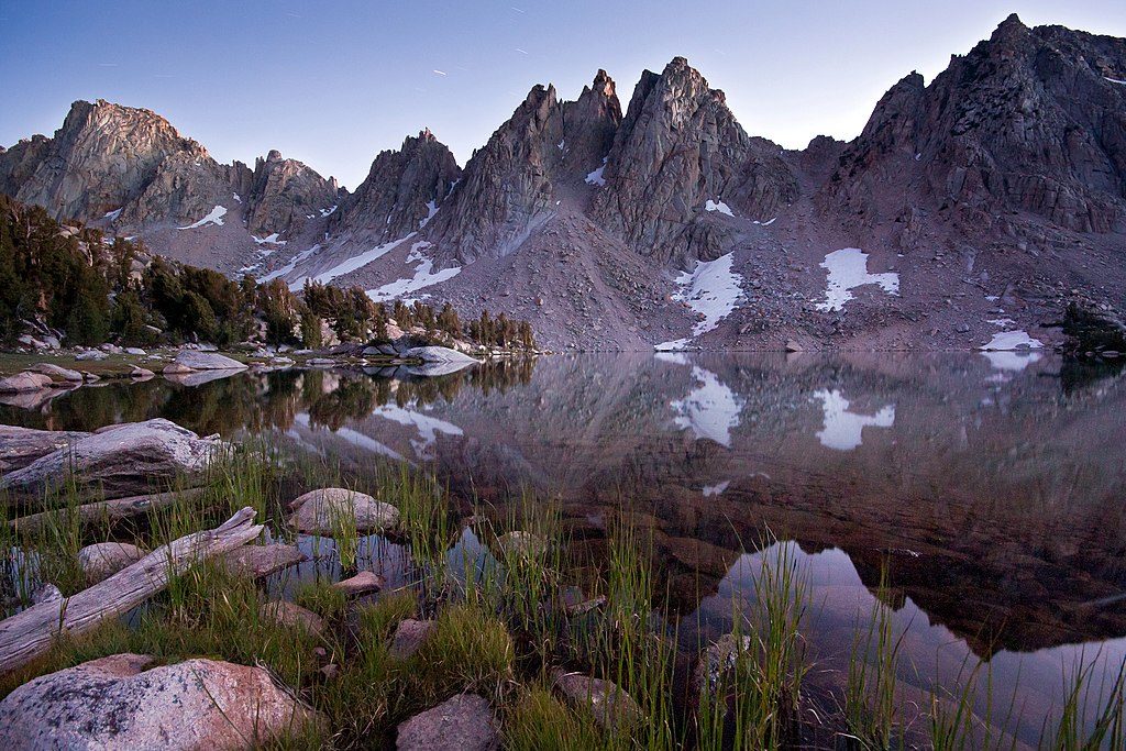
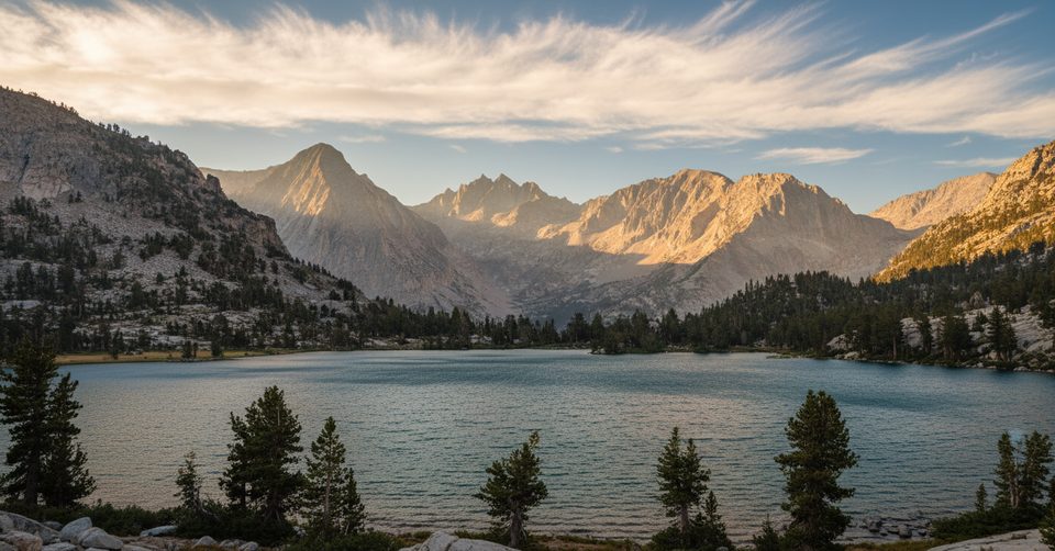
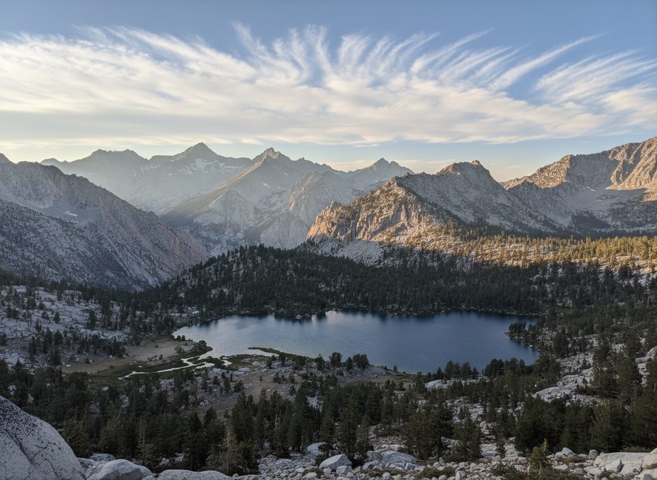
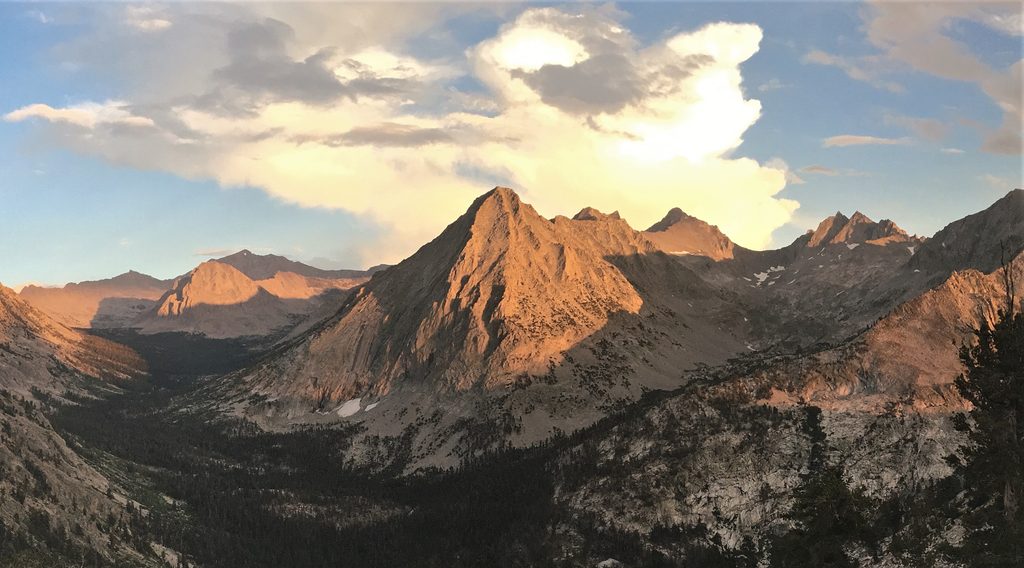
East Vidette is the dramatic granite sentinel rising above Vidette Meadow—one of those peaks you keep photographing from the trail. It’s a true backcountry objective: no roads, no buildings, just a proud summit and big Sierra vistas.

Getting There

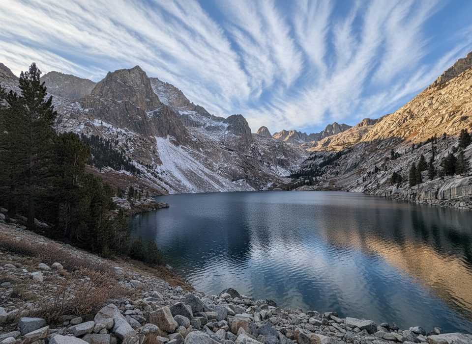
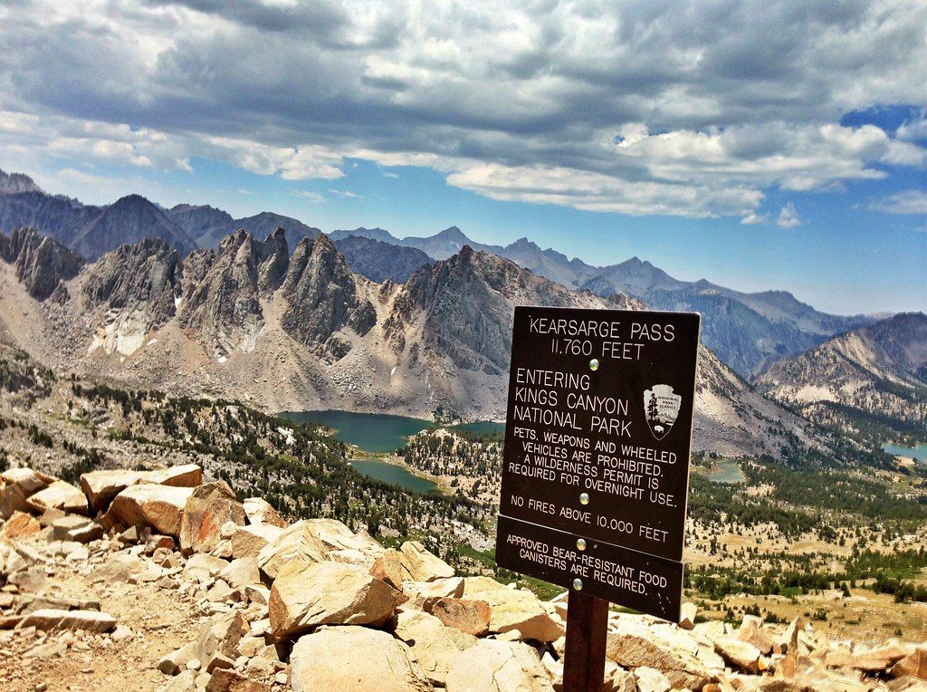
  • From the east (shortest): Hike from Onion Valley over Kearsarge Pass, past Bullfrog/Kearsarge Lakes to the JMT/PCT, then drop into Vidette Meadow. Plan on roughly 10 miles of good trail to reach the base area.
  • From the west (Road’s End, Cedar Grove): Follow the Bubbs Creek corridor toward Vidette Meadow. Expect about 13–14 miles one way with roughly 4,500 feet of gain to reach Lower/Upper Vidette Meadow. Most hikers split this over one or two days.

Routes at a Glance

  • East Ridge (Class 3): The classic line—moderate angle, mostly solid rock, easy to navigate with options to bypass gendarmes.
  • Southeast Chutes (Class 2): Viable but sandy and talus-heavy—fine for a fast descent, tedious for an ascent.
  • North Side (Class 3–4) and West Side (Class 4): Steeper, more technical options for experienced scramblers.

What You’ll See

From the summit, you’re ringed by marquee Sierra peaks: to the south the Kings–Kern Divide and Junction Peak; west to Mount Brewer, North Guard, and Mt. Francis Farquhar; north toward Mt. Rixford and Mt. Gould; east to University Peak, Mt. Bradley, Mt. Keith, and the Kearsarge Pinnacles. If you’re content to admire from below, Vidette Meadow frames the massif beautifully.

Camping and Regulations

Good camping exists along Bubbs Creek near Vidette Meadow, with drier sites higher on the east side. Camping is prohibited near Bullfrog Lake. Wilderness permits are required for overnight trips. Open fires are not allowed above 10,000 feet (Vidette Meadow sits just below that line). Bear canisters are strongly recommended.

Wildlife and Conditions

You’re in prime bear country—store food properly. Rattlesnakes are occasionally seen along Bubbs Creek. Mosquitoes can be thick through July; conditions usually mellow by late summer.

Best Time to Visit

Late August through September typically brings fewer mosquitoes, stabler weather, and clearer views. If starting from Cedar Grove, remember that area operates seasonally; once you leave Road’s End, there are no facilities. Evening light can be excellent on the surrounding basins and along the approach.

Name Story

“Vidette” derives from “vedette,” a mounted military sentry—fitting for a peak that stands guard over the valley.

Pros

  • Striking landmark above the JMT/PCT with sweeping summit views
  • Multiple ascent options, including a straightforward Class 3 East Ridge

Cons

  • Long, strenuous backcountry approach with no facilities
  • Mosquitoes can be intense through July; food storage is essential

Tips

  • The Onion Valley to Kearsarge Pass approach is the shortest way to stage at Vidette.
  • Use the Class 3 East Ridge for a straightforward ascent and the sandy chutes to descend.
  • Carry a bear canister and strong bug protection in early to mid-summer.
  • No camping near Bullfrog Lake and no fires above 10,000 feet—plan your kitchen accordingly.
  • If starting from Road’s End, expect a 13–14 mile push to Vidette—split it over two days.
The Parkwolf tour guide sitting on a phone mounted in a car

Parkwolf Tour Guide

Like a tour guide in your car.

Save the places you found around Kings Canyon, then let Parkwolf guide the drive between them.Download Parkwolf on the App Store