
Place · 0.6 mi away

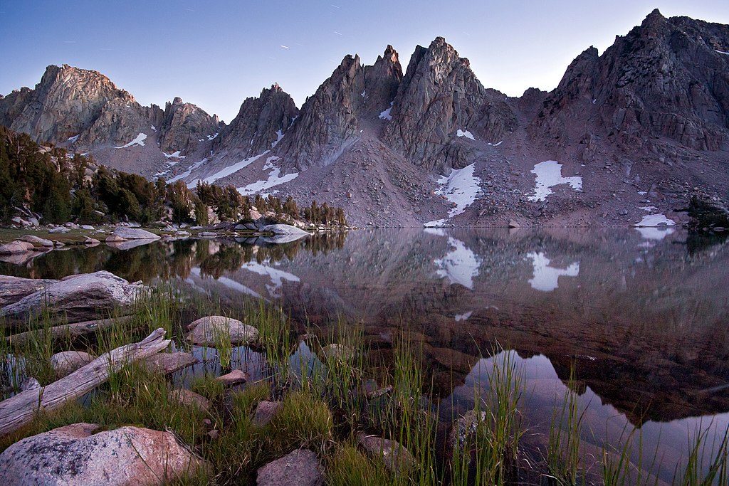
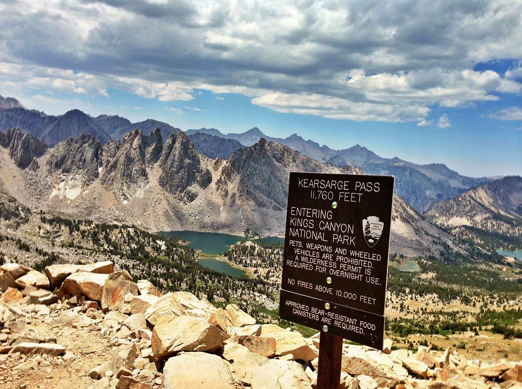
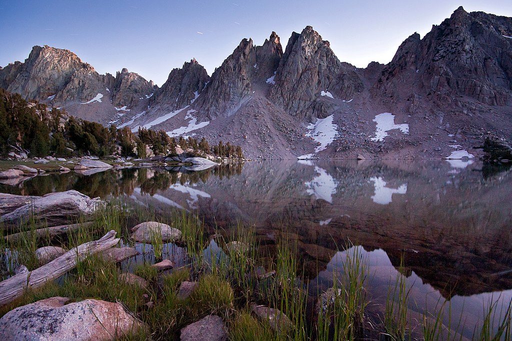
A classic High Sierra gateway, Kearsarge Pass dishes up huge views into granite country—think the Kearsarge Pinnacles, teal lakes, and big-sky basins. Most people climb from Onion Valley on the east side, crest the pass, then peek (or drop) into the lake-studded Kearsarge Basin inside the park.
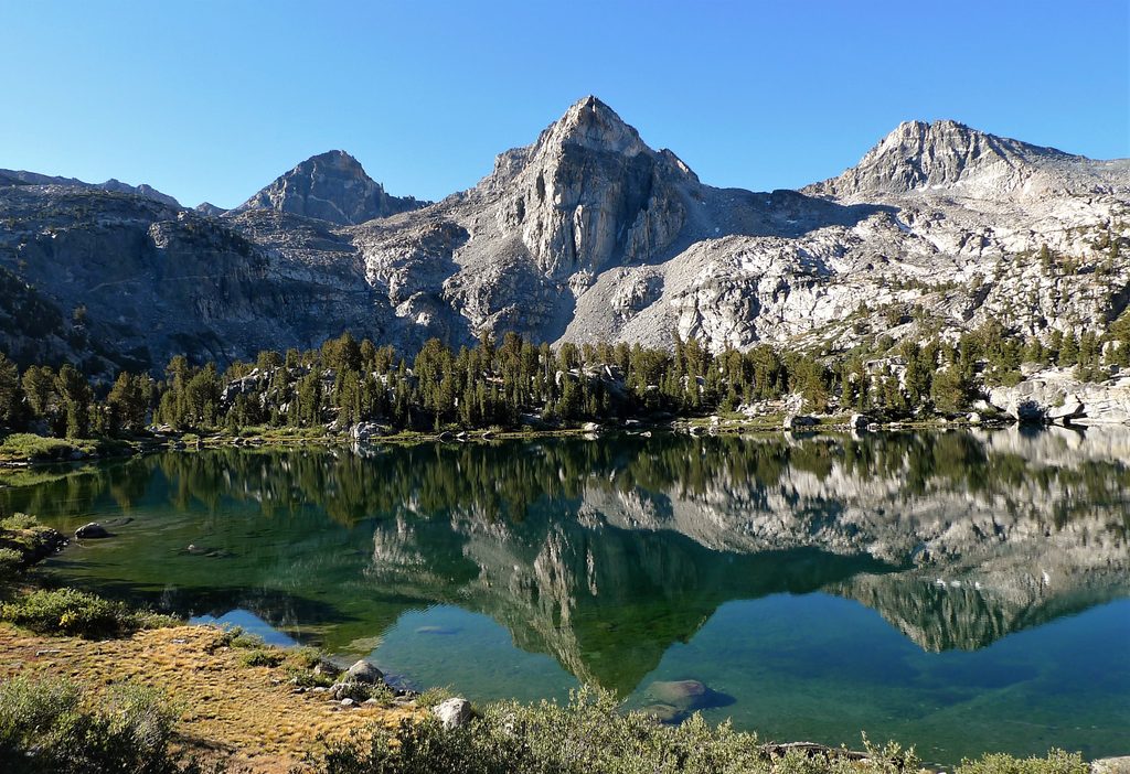
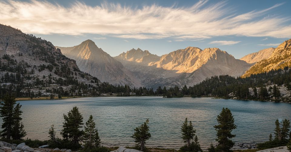
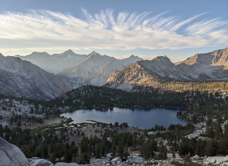
The approach strings together alpine lakes, then tops out on rocky switchbacks to an 11k+ foot saddle with sweeping sightlines. From the crest, you’re looking straight at Kearsarge and Bullfrog Lakes and a skyline of serrated granite. It’s a hands-down crowd-pleaser for strong day hikers and the natural doorway for backpackers heading to Kearsarge Lakes, Bullfrog Lake, and beyond.
As a day hike to the pass, plan roughly 9.5–10 miles round-trip with about 2,400 feet of gain. If you continue down to Kearsarge Lakes, expect a fuller day (roughly 12–13 miles total) and additional elevation change. The trail starts high at Onion Valley (about 9,100–9,200 feet), so pace and hydration matter from step one.
Prime season runs roughly May–October, snow depending. Start early: you’ll get cooler temps on the climb, better light on the lakes, and you’ll dodge afternoon buildups and the midday sun that can feel relentless. Expect the most traffic in peak summer; early starts help keep it peaceful.
Kearsarge Pass is the express lane into some of the Sierra’s most photogenic camps. Kearsarge Lakes makes a scenic base with sunset and sunrise reflections; disperse at established sites and keep your distance from shorelines. Bear canisters are required, and rangers do check. It’s also an easy hop to the JMT/PCT corridor.
Reliable water sources dot the approach (filter everything). Expect classic alpine company—think marmots near the pass—and practice clean camps to avoid wildlife encounters.
Mornings light up the west-side lakes and pinnacles; afternoons favor the east-side basin on your hike out. Clear air and high granite make polarizers and ND filters earn their keep.
[alltrails.com](https://www.alltrails.com/trail/us/california/kearsarge-pass-trail-to-kearsarge-lakes) • [hikingproject.com](https://www.hikingproject.com/trail/7116570/kearsarge-lakes-and-bullfrog-lake) • [wikipedia.org](https://en.wikipedia.org/wiki/Kearsarge_Pass)
Place · 0.6 mi away
Place · 1.9 mi away
Place · 2 mi away
Place · 2.4 mi away
Challenging · 2 mi away
Challenging · 2 mi away
Challenging · 2 mi away
Challenging · 2 mi away

Parkwolf Tour Guide
