Parking
Follow Onion Valley Road to its end at the Kearsarge Pass Trailhead. The trailhead has a vault toilet, trash cans, and bear-resistant food lockers.

Kings Canyon National Park, CA
Cross Kearsarge Pass for three lakes beneath granite pinnacles
Overview
Map & elevation
Plan your hike

The highest, rockiest slopes around here are a summer buffet for grizzly bears.
Kings Canyon Tour Guide
Parkwolf is a GPS audio tour guide for Kings Canyon National Park. As you drive, it chimes in with what’s ahead: hidden gems, upcoming stops, history, geology, and wildlife, right through your car’s speakers.
See the Kings Canyon audio tour“…The kids and my husband and I all agree that the narration really added to our experience driving through the parks. We learned so much about the history and the flora & fauna.”


Trail guide
Kearsarge Lakes Trail is a 12.5-mile round-trip out and back from the Onion Valley trailhead, crossing 11,700-foot Kearsarge Pass before dropping into a high Sierra basin beneath the Kearsarge Pinnacles. Allow about eight hours. The trailhead is already around 9,200 feet, so even the climb to the pass is a serious high-elevation outing. Continue from the pass on the lower basin branch, take the Kearsarge Lakes spur to the shore, and return along the same corridor. The distance does not include wandering the informal lake-edge paths or extending to Bullfrog or Charlotte Lakes. For a shorter day, turn at the pass for roughly 10 miles round trip.
From Onion Valley, rocky singletrack follows a creek tributary before a signed fork about 0.3 mile in. Keep left for the Kearsarge route, away from Golden Trout Lakes. The steady climb crosses old moraines and passes Little Pothole Lake at about 1.4 miles, Gilbert Lake around 2.1 miles, and Flower Lake by a short spur near 2.4 miles. Heart Lake lies farther up the same slope. Above it, switchbacks thread through foxtail pines, then the trail opens into a dwarf whitebark pine zone before the final zigzags to the pass. The upper slope is rocky and exposed, and the climbing continues for most of the approach.
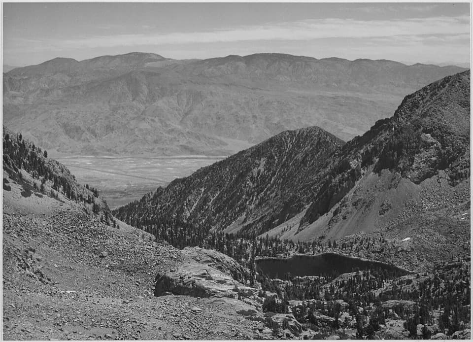
Kearsarge Pass sits near 11,700 feet and marks the boundary between Inyo National Forest and Kings Canyon National Park. Pause for the eastward view toward Owens Valley, then descend the rocky west face. Basin junctions lead to the lower route toward Kearsarge Lakes, to Bullfrog Lake, and onward to the John Muir and Pacific Crest trails. They serve longer itineraries, so follow the lower branch for the lakes and watch the junctions on your return.
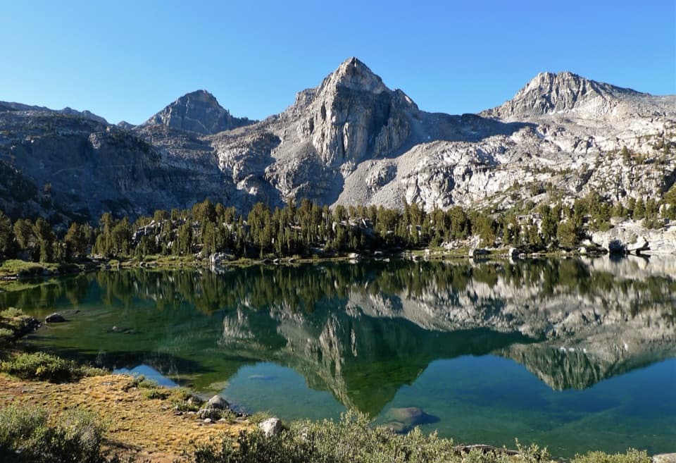
The Kearsarge Lakes sit beneath the Kearsarge Pinnacles. Campsites are found around the first and second lakes, and an informal shore path continues toward the third and largest. The saved distance ends at the mapped Kearsarge Lakes spur by the shore; exploring farther around the lakes adds mileage and is not part of the measured route. When the water is calm, the Pinnacles can reflect on the lake. Include a strip of shoreline in a photo to show the basin's scale.
Onion Valley Road is usually open from May into November, depending on snow; check the road before choosing a date. The trailhead has a vault toilet, trash cans, and bear-resistant food lockers. Pack a full day of food; all natural water must be treated before drinking. Day hikes do not require a wilderness permit, but overnight trips do year-round. Overnight entries have a seasonal quota from May 1 through November 1, campfires are prohibited, and Kearsarge Lakes camping is limited to two nights. Pets are prohibited on trails inside Kings Canyon, so this cross-boundary route is not suitable for dogs.
Wildlife
 227 sightingsBlack BearMost seen around 7 PMSighting map
 385 sightingsMule DeerMost seen around 7 PMSighting map
 188 sightingsMarmotMost seen around 8 AMSighting map
 118 sightingsPikaMost seen around 7 AMSighting map
 14 sightingsGolden TroutMost seen around 7 PMSighting map
 32 sightingsRainbow TroutMost seen around 7 PMSighting map
Sighting maps show where each species has been reported across Kings Canyon. Wildlife moves, so no sighting is guaranteed.
Keep exploring
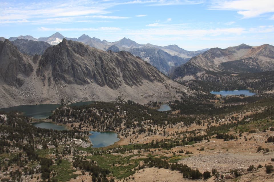 ChallengingKearsarge Pass Trail9.4 mi · 6 hr · At the trailheadThree lakes, then a high pass with Kings Canyon at your feet.
 ChallengingCharlotte Lake Trail17.2 mi · 12 hr · At the trailheadReach an alpine lake beyond an 11,800-foot pass.
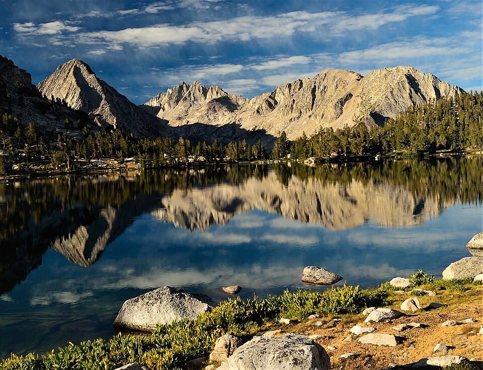 ChallengingBullfrog Lake Trail via Kearsarge Pass13.9 mi · 8.5 hr · At the trailheadCross a high pass for a lake beneath the Videttes.
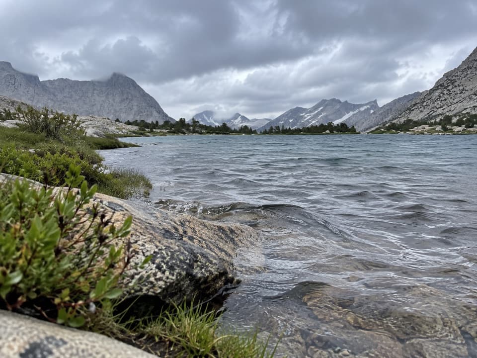 ChallengingCenter Basin Trail3.3 mi · 3 hr · 3.3 mi awayA faint high-basin spur for hikers already deep on the JMT.
 ChallengingDragon Lake Trail1.5 mi · 2 hr · 3.9 mi awayA faint, steep spur to a tucked away lake below Dragon Peak.
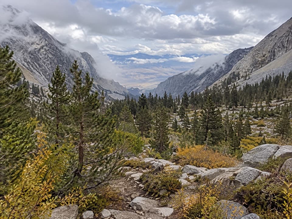 ChallengingBaxter Pass and Baxter Lakes Trail16.5 mi · 14 hr · 5.5 mi awayA rugged climb over Baxter Pass to a remote high-country lake.
 ChallengingSixty Lakes Basin Trail6.3 mi · 6.5 hr · 5.9 mi awayA high, rough side trip from Rae Lakes into an alpine basin.
 ChallengingSawmill Pass Trail12.4 mi · 13 hr · 11.8 mi awayA hard Sierra crossing to the John Muir Trail.
Parkwolf’s Kings Canyon ranking

The audio tour guide for the drive, plus offline maps, trails, and wildlife heatmaps for when the signal drops.