
Place · 3.7 mi away
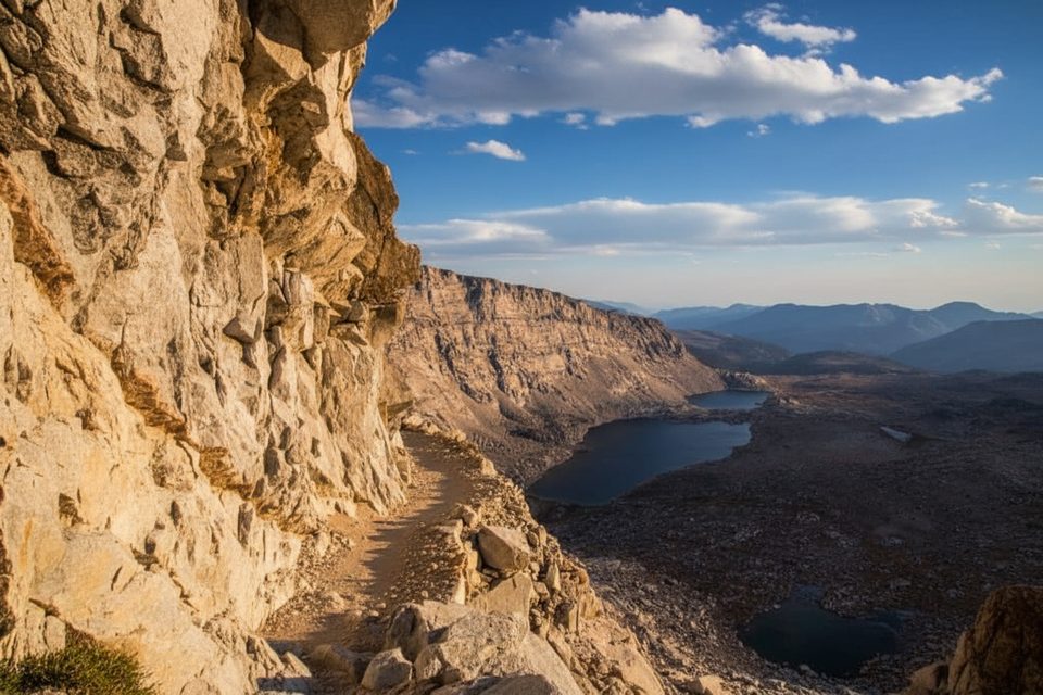
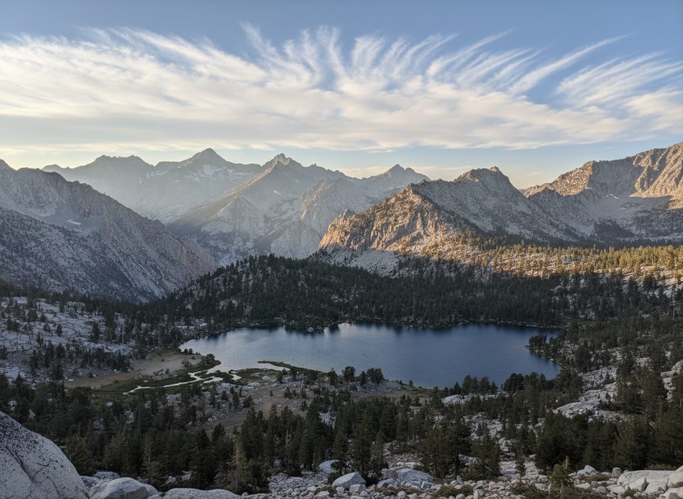
Forester Pass straddles the Sequoia–Kings Canyon boundary atop the Kings–Kern Divide at 13,153 feet. It’s the highest point on the Pacific Crest Trail and a signature stretch shared by the John Muir Trail. From the north (Bubbs Creek drainage) the trail climbs steadily; from the south it plunges through tight, airy switchbacks toward the Kern system.
Expect big, austere High Sierra views and classic granite underfoot. The north approach is longer and more gradual; the south side is steeper and more exposed right off the crest. Early season can leave firm snow and ice on the notorious south-side chute, and cornices can form near the crest in heavy snow years.
The pass honors early U.S. Forest Service workers who documented it. During trail construction on August 26, 1930, a blasting accident fatally injured 18-year-old Donald Downs; a memorial plaque sits on the south side of the pass.
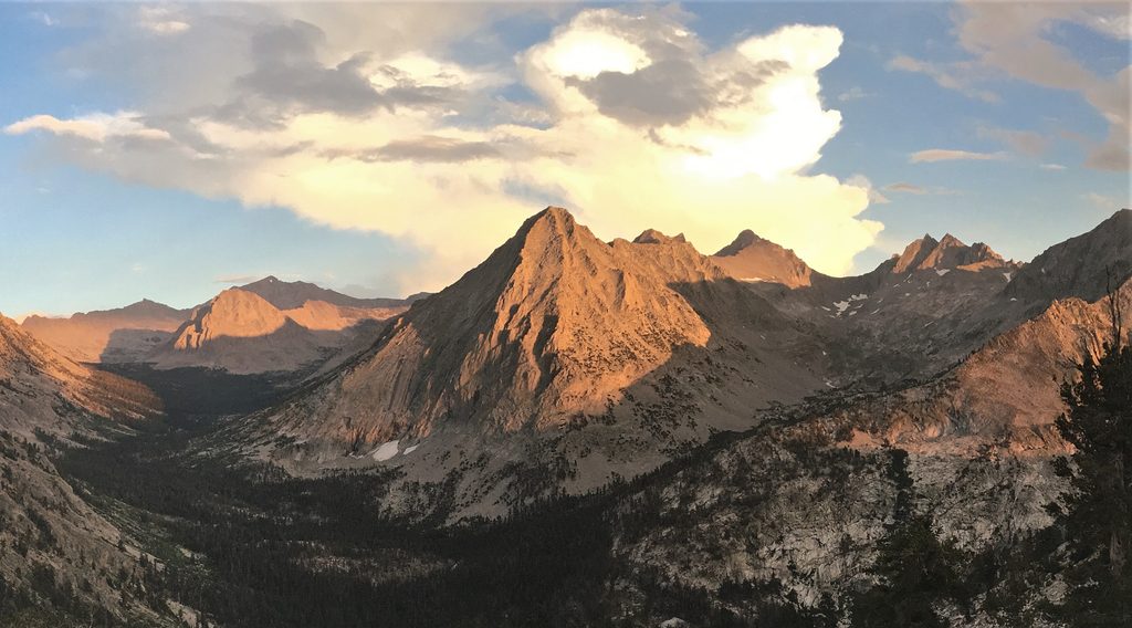
You’re walking the spine of the Sierra Nevada batholith—Cretaceous granitic rock (think granite, diorite, monzonite) uplifted in a geologically young range. Repeated Pleistocene glaciations carved the U-shaped valleys, hanging basins, and serrated ridgelines you see today.
Common approaches include west-side starts from Roads End (Cedar Grove) in Kings Canyon or east-side entries via Onion Valley over Kearsarge Pass, Shepherd Pass, Baxter Pass, or farther south from Whitney Portal. Services are concentrated in front‑country hubs; there are none near the pass itself.
July through September offers the most straightforward crossing. Go early in the day for stable weather and better footing on any lingering snow or ice. In big snow years, expect a later window and bring appropriate traction.
Place · 3.7 mi away
Place · 4 mi away
Place · 4.4 mi away
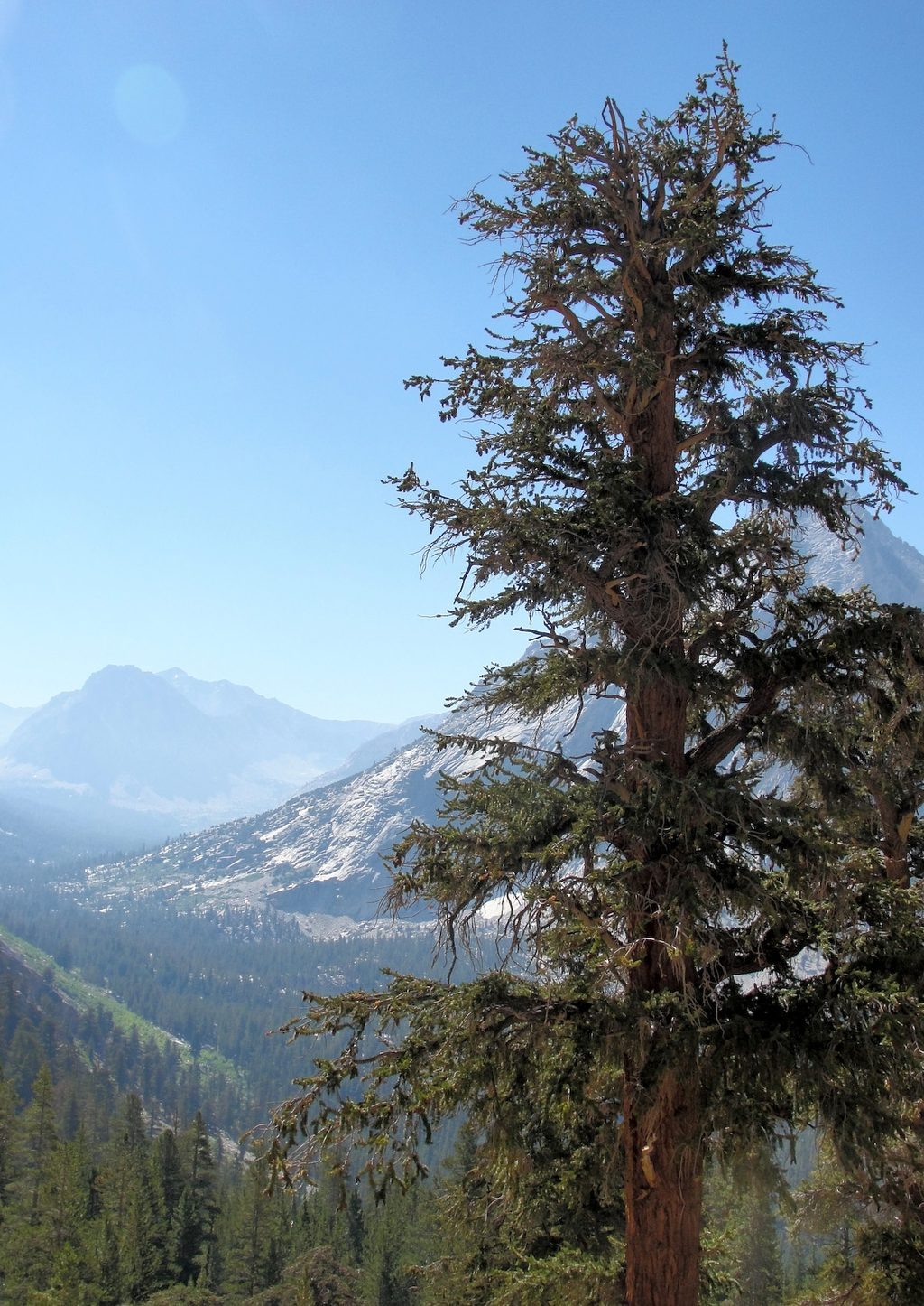
Place · 4.5 mi away
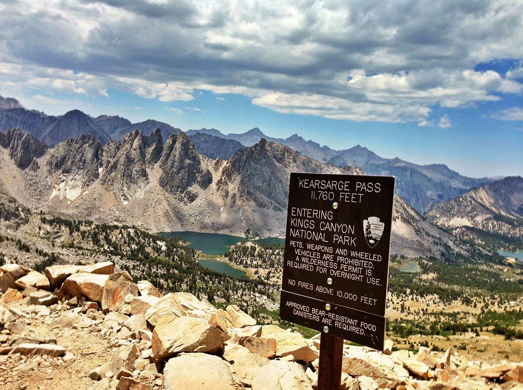
Challenging · 5.7 mi away
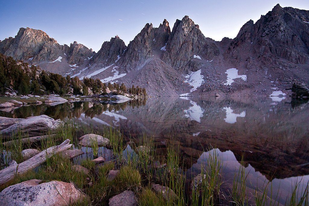
Challenging · 5.7 mi away
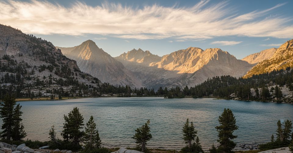
Challenging · 5.7 mi away
Challenging · 5.7 mi away

Parkwolf Tour Guide
