Pros & cons
PROS
- Classic Kings River swimming hole with a low cliff-jump
- Steps from the Road’s End parking with photogenic canyon views
- Restrooms and potable water available at the lot
CONS
- Cold, swift currents vary with snowmelt—jumping/swimming isn’t always safe
- Can feel crowded on hot summer afternoons
Overview
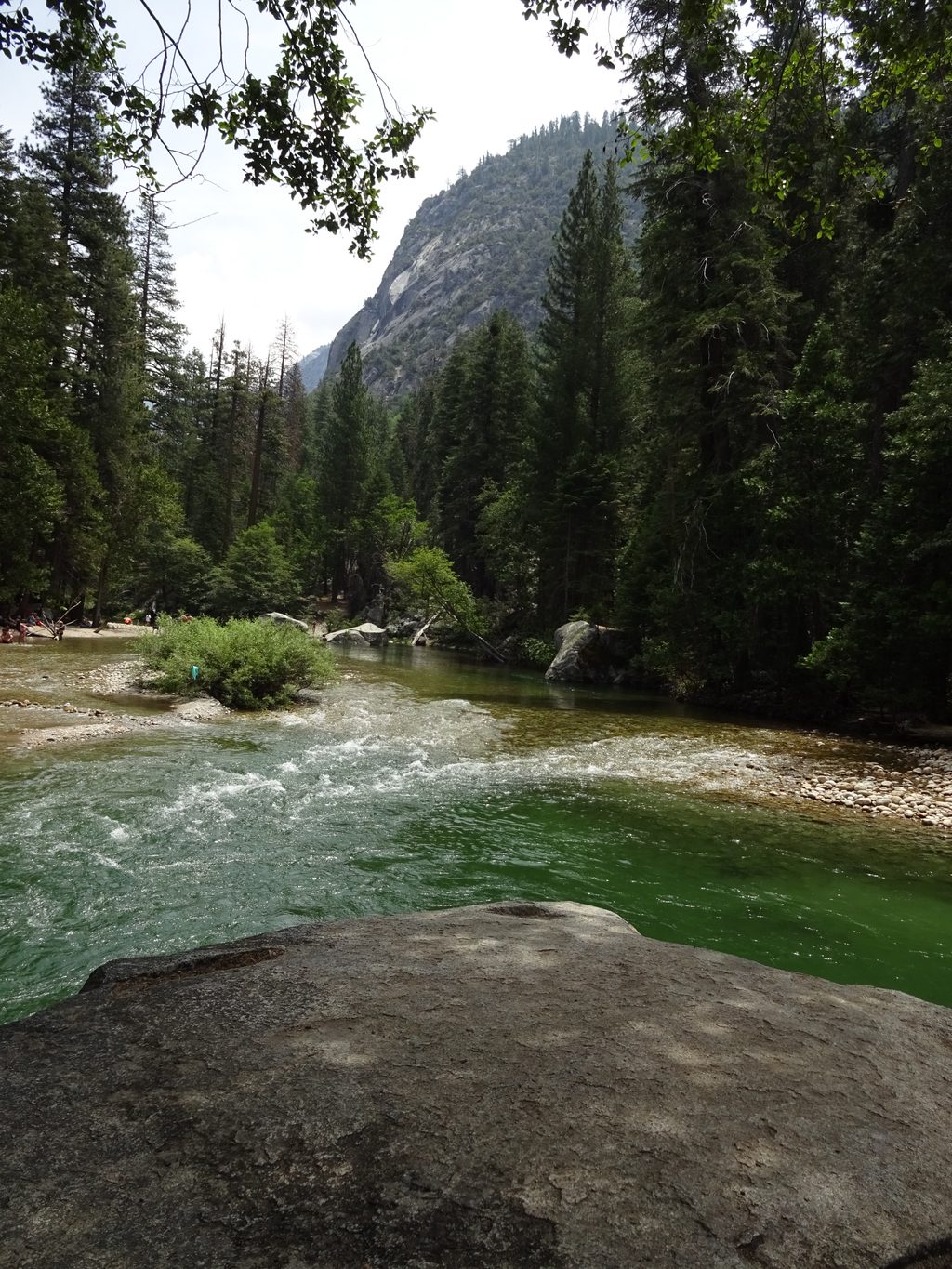
Muir Rock is the park’s go-to swimming hole at Road’s End—a broad granite boulder beside a deep, emerald-toned pocket of the Kings River. It’s named for John Muir, who praised this canyon as a rival to Yosemite, and it doubles as a scenic, photo-friendly perch with tall trees lining the opposite bank [nps.gov].
What You’ll Do
- Take a refreshing dip or make the signature jump—roughly 15 feet—into the deep pool below the rock. Lower rocks offer gentler entries if the main jump feels too high.
- Lounge on sandy and pebbly banks, then wander upstream to find quieter shallows better for wading and kids.
- It’s an easy stroll from the right side of the Road’s End parking lot; expect big granite walls, clear water, and that classic Sierra canyon feel.
Safety First
The Kings River is powerful and cold. Conditions change with snowmelt and season. Always check depth and current before entering, and supervise kids closely. Inflatable water toys are not allowed here. When in doubt, skip the jump and enjoy the shoreline instead [nps.gov].
Logistics and Amenities
- Parking: Large lot at Road’s End; the short path to Muir Rock starts on the lot’s right side.
- Facilities: Vault toilets at the lot; potable water spigot near the small ranger station.
- Rules and fees: Standard park entry applies; pets aren’t allowed on trails (okay in parking areas).
Pair It With
Hike Mist Falls in the morning and cool off at Muir Rock afterward—a classic Road’s End combo that makes the most of your time in the canyon [nps.gov].
Wildlife
This is prime Sierra habitat—black bears are occasionally seen across the river. Keep your distance, give wildlife the right of way, and secure all food.
Best Time to Visit
- Season: Warm summer days are ideal for a swim, but river levels can be high early—assess conditions on arrival.
- Daily timing: Go early or late for easier parking and gentler light. Midday gets strong sun; by late afternoon the canyon walls cast welcome shade in summer.
Sources: [nps.gov](https://www.nps.gov/places/000/muir-rock.htm)
Where it is
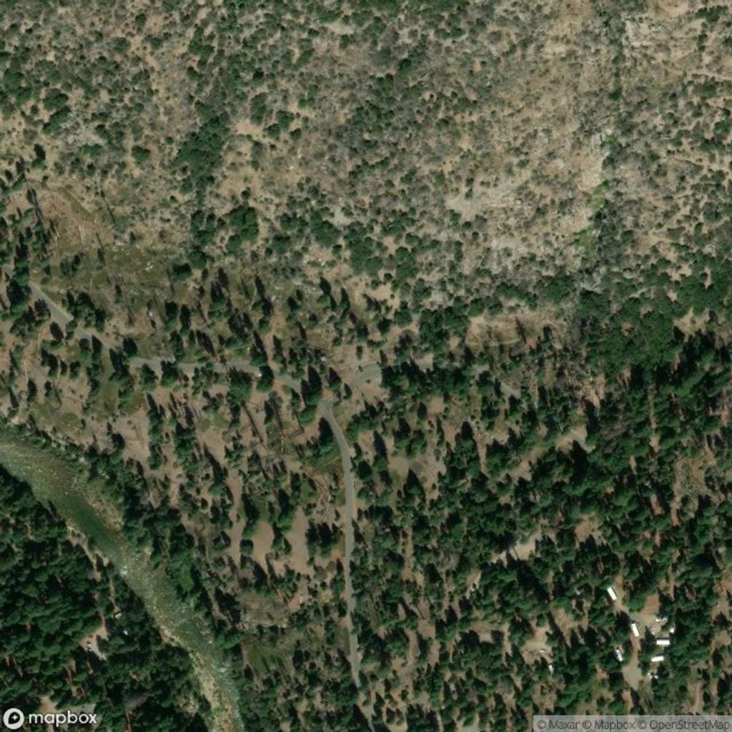
37.2180, -118.8237Tips for John Muir Rock
- 01From Road’s End lot, turn right to find the short path to the rock.
- 02Wear water shoes—the riverbed is rocky and slick in spots.
- 03Always re-check depth and current before jumping; no inflatables allowed.
- 04Pair a morning Mist Falls hike with an afternoon cooldown here.
- 05Go early or late for easier parking and softer photography light.
Amenities
Near John Muir Rock
All places →All trails →
4.7 mi awayMcClure MeadowClassic JMT meadow with big views and reliable creek waterScenic Viewpoint
4.8 mi awayEvolution ValleyWild meadows and lakes along the JMT framed by granite giantsRanger Station
4.9 mi awayMcClure Meadow Ranger StationTiny backcountry ranger outpost in a meadow of big Sierra viewsRanger Station
6.9 mi awayDarwin BenchQuiet high-alpine bench with big granite views over Evolution BasinScenic Viewpoint
14.6 mi awayBishop Pass TrailGranite benches, alpine lakes, and a big pass into Dusy BasinChallenging · 11.1 mi · 5.7 hr
29.2 mi awayDeer Cove TrailSteep burn-scar climb to big views; best in cool weatherChallenging · 14 mi · 8.6 hr
30.6 mi awayLookout Peak TrailSteep Cedar Grove grind to a panoramic summit with a spicy scramble.Challenging · 11.2 mi · 7.5 hr
30.6 mi awayCedar Grove OverlookSteep switchbacks to a big view perch above the Kings River canyonChallenging · 4.4 mi · 3 hr