
Place · 0.9 mi away
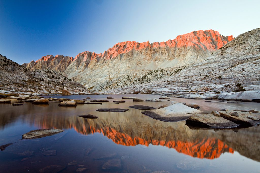
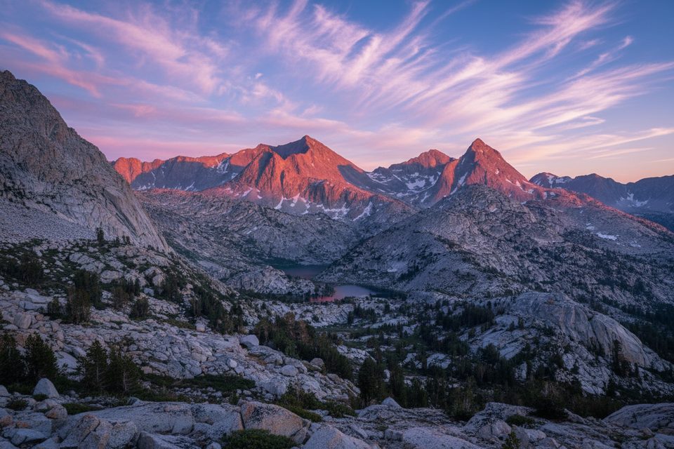
Sapphire Lake sits high in Evolution Basin, a broad, glacially carved amphitheater of pale granite, polished slabs, and linked alpine lakes. It’s the kind of place that makes backpackers whisper—it’s remote, above treeline, and framed by peaks named for the giants of evolutionary science. You don’t drive here; you earn it on the John Muir Trail/Pacific Crest Trail corridor.
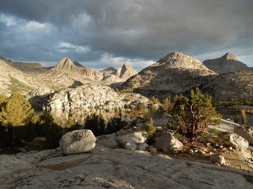
Expect a textbook Sierra glacial landscape: U-shaped valleys, over-deepened lake basins, and gleaming granodiorite bedrock. Sapphire lies between Evolution Lake and Wanda Lake near Muir Pass, so lake-to-lake strolling on granite benches is part of the charm. On a calm afternoon the water goes mirror-still, with ridgelines and sky doubled in glass.
Most visitors reach Sapphire Lake as part of a multi-day itinerary:
Mileage is significant, elevation is high (roughly 10–11k feet in the basin), and self-sufficiency is non-negotiable.
The Sierra Nevada’s hard granitic heart and repeated glaciations sculpted Evolution Basin’s hanging valleys, moraines, and lake chain. Today you can still see the polish and striations that hint at the ice that once moved through here, and the range is still being shaped—slow uplift on one hand, relentless erosion on the other.
Around the basin, watch and listen for marmots, pikas, and high-country birds like Clark’s nutcrackers. Mule deer are more common lower down. Black bears roam the broader area—protect food and keep a clean camp. Early to mid-summer can bring intense mosquitoes; late season is usually kinder.
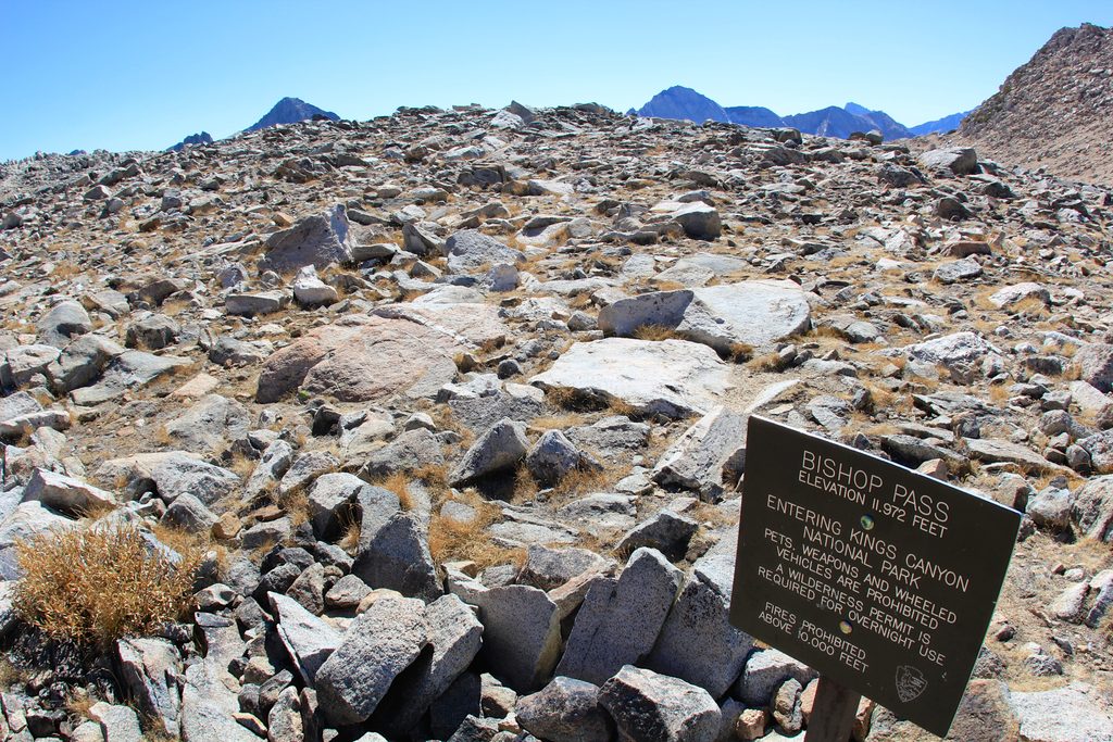
Just south over the high country sits Muir Pass with its stone Muir Hut, a historic emergency shelter that nods to the long legacy of trail building and conservation in this corridor. Peak names—Darwin, Haeckel, Wallace, Huxley—carry the Evolution Basin theme.
Aim for mid/late July through September for the most reliable snow-free travel and mellower creek crossings. Early season can hold lingering snow. Plan big pass days early to dodge afternoon thunderstorms. Weekdays see fewer people; golden hours light up the granite and make the water glow.
None. No restrooms, no trash cans, no picnic tables—this is pure wilderness. Stage your trip from frontcountry hubs; Road’s End offers parking and nearby vault toilets, and Cedar Grove area campgrounds make good pre/post-trip bases.
If you’re comfortable with high-elevation miles and want a quintessential Sierra alpine lake experience, absolutely. For casual day trippers, it’s too far—pick a closer objective. For backpackers, Sapphire is a highlight in a basin packed with them.
Place · 0.9 mi away
Place · 1.3 mi away
Place · 2 mi away
Place · 2.7 mi away
Challenging · 7.2 mi away
Challenging · 23.8 mi away
Challenging · 24.5 mi away
Challenging · 24.5 mi away

Parkwolf Tour Guide
