
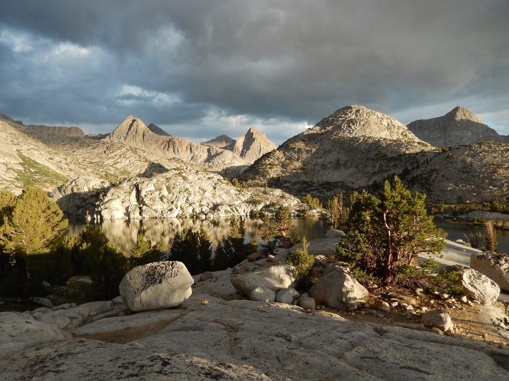
Place · 1.1 mi away
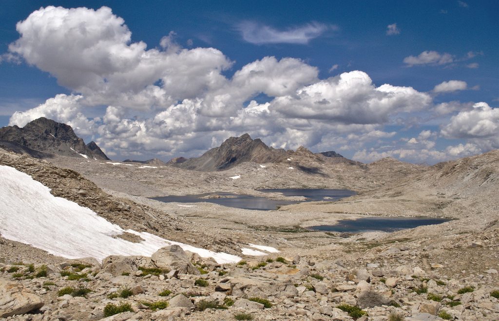
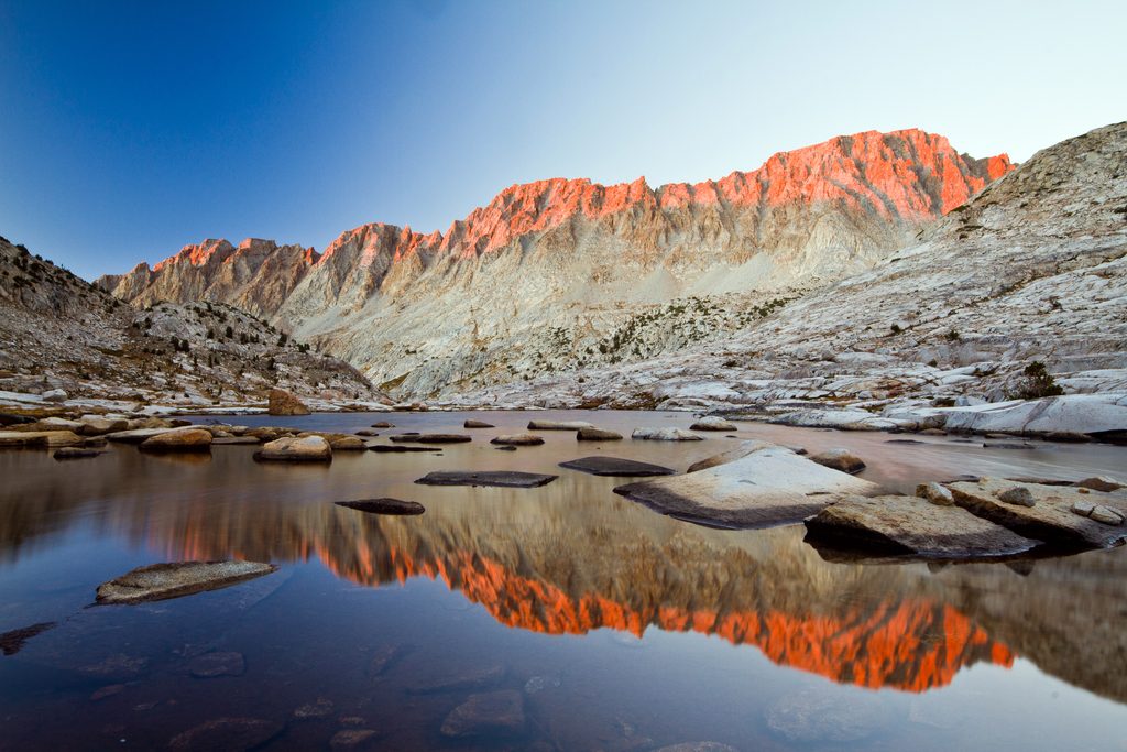
Wanda Lake sits high in the Evolution Basin at roughly 11,400 feet, a stark, wind-brushed tarn carved into polished granite just below Muir Pass. It’s a backpacker’s favorite for its big-sky views and the feeling of being way out there—because you are. Expect raw High Sierra scenery: slabs, talus, and a chain of jewel-box lakes leading up-canyon.
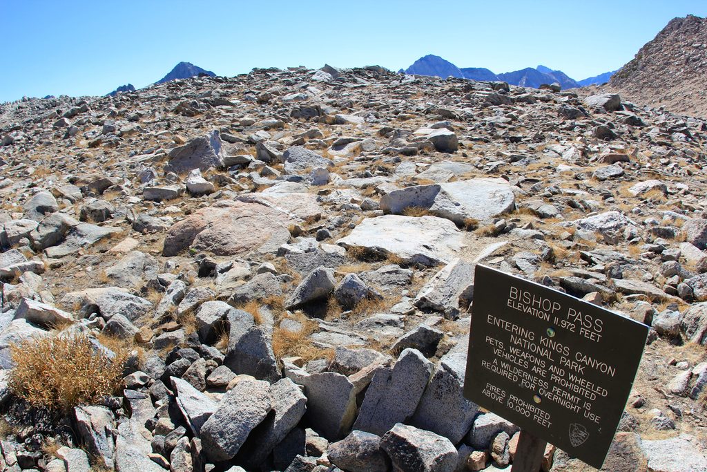
Most hikers reach Wanda via the John Muir Trail/PCT as it climbs through Evolution Basin past Evolution Lake and Sapphire Lake before topping out near Muir Pass. That final push is difficult—roughly eight miles with notable gain—so plan your day accordingly. From the east side, a longer but spectacular route comes over Bishop Pass: descend Dusy Basin, traverse LeConte Canyon, and climb to Muir Pass before dropping to Wanda. From the west side, a pragmatic multiday approach begins at Florence Lake: a narrow, slow drive over Kaiser Pass Road to the lake, an optional ferry that saves about four miles, then trail past Muir Trail Ranch up the South Fork San Joaquin into Evolution Valley and on to Evolution Basin.
This is classic High Sierra wilderness: no tables, no toilets, no bear boxes—just rock, water, and weather. Camps near Wanda are beautiful but exposed; wind is common, and storms can build in the afternoons. If the forecast looks spicy, consider camping a little lower and visiting Wanda for a day’s push.
Overnight trips require a wilderness permit for your entry trailhead. Bear safety is non-negotiable—use a bear-resistant canister and keep a clean camp. Fires have elevation restrictions and may be prohibited depending on conditions; regulations change, so check current rules before you go. In the backcountry, there are no developed facilities; follow Leave No Trace and camp well away from water.
Early season can mean deep fords and lingering snow near passes; by late summer, creek crossings usually mellow and most snow is gone. Afternoon thunderstorms are common—start early for high, exposed stretches near Wanda and Muir Pass. At elevation, acclimatize, eat, and hydrate; the air is thin and the sun is intense. Water is plentiful but always treat or filter.
Keep an eye out for mule deer in the meadows, rock-hugging marmots, and high-country birds like Clark’s nutcrackers and mountain bluebirds. Store all food and scented items properly—curious wildlife will investigate sloppy camps.
If you’re lining up a west-side start or exit, the Cedar Grove area offers car-camping at places like Sentinel, Moraine, Sheep Creek, and Canyon View. Expect a picnic table, fire ring with grill, and bear box at each site, with most campgrounds requiring advance reservations and filling quickly in season. Cedar Grove services and road access are seasonal, and cell coverage is basically nonexistent.
Late July through September typically offers the smoothest travel: lower creek flows, fewer lingering snowfields, and longer stable weather windows. Aim for weekdays to dodge JMT bottlenecks, start early to beat afternoon build-ups, and be ready to pivot your camp plans if wind rips across the basin.
Place · 1.1 mi away
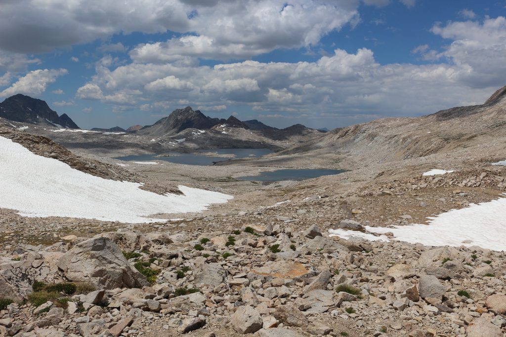
Place · 1.2 mi away
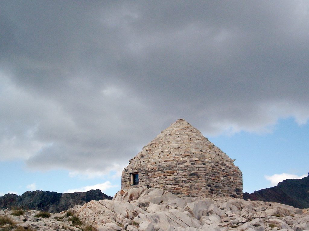
Place · 1.2 mi away
Place · 2 mi away
Challenging · 7.6 mi away
Challenging · 21.9 mi away
Challenging · 22.6 mi away
Challenging · 22.6 mi away

Parkwolf Tour Guide
