
Place · 0 mi away
Challenging
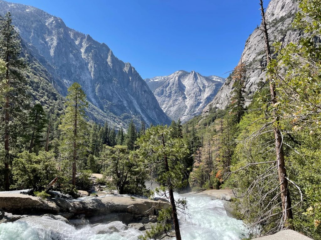
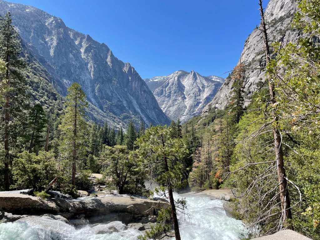
A classic Sierra canyon grind, the Bubbs Creek Trail climbs from Road’s End into a glaciated granite gorge with shady forest, roaring cascades, and big wall views. It’s generally rated hard and is most popular as a backpacking approach to the John Muir Trail and the Rae Lakes country. Expect about 24.7 miles total out-and-back with roughly 4,760 feet of gain if you go to the usual turnaround at Lower Vidette Meadow.
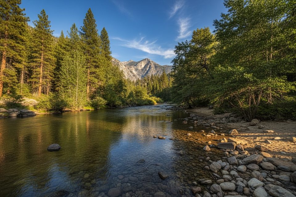
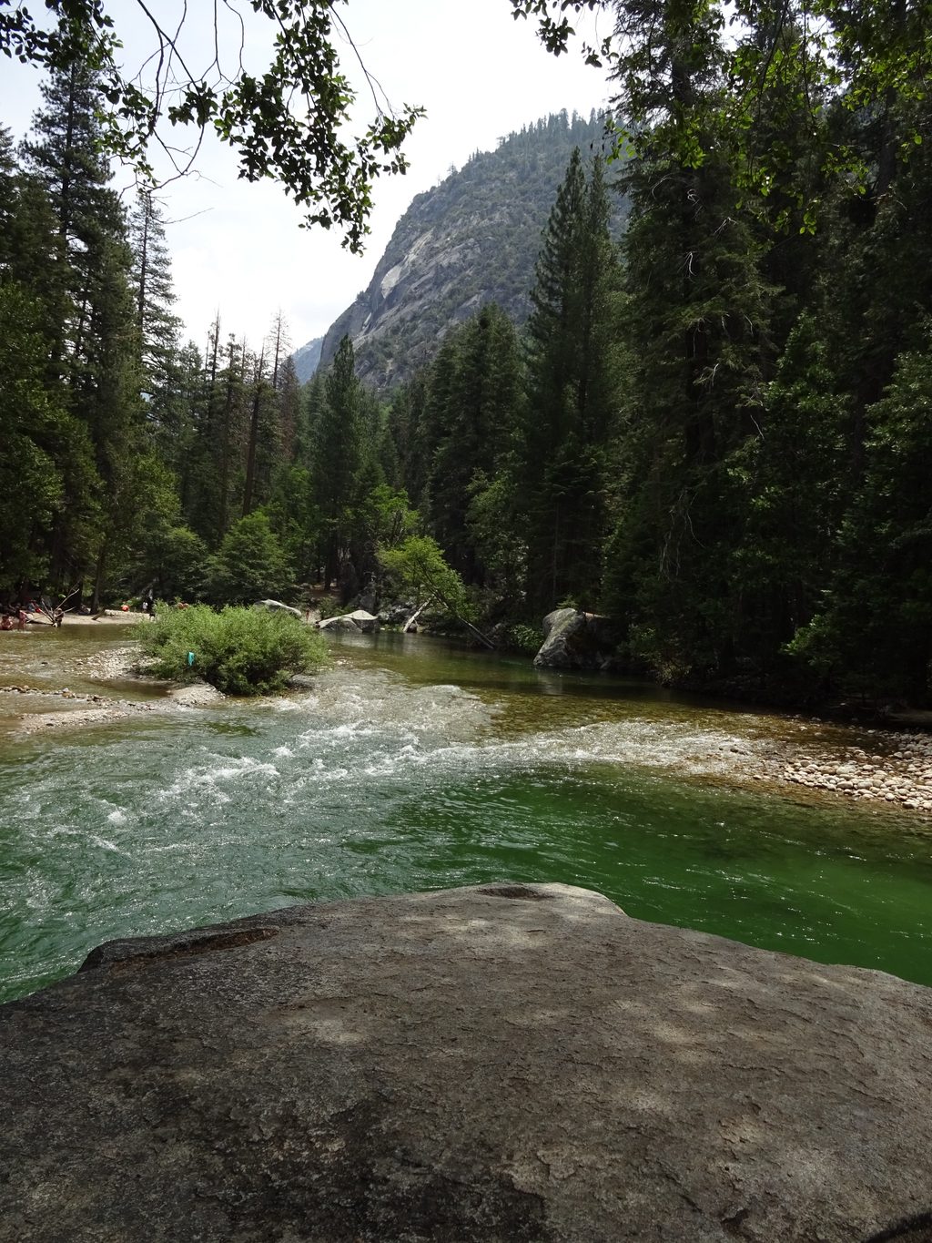
From Road’s End, the trail climbs steeply at first on switchbacks, then settles into a steady ascent up the Bubbs Creek drainage. The first legal campsite is at Sphinx Creek Junction (about 4 miles from the trailhead). Junction Meadow is a common first-night target around 10–11 miles in, with creek access and views. Continue to Lower Vidette Meadow (about 12.3 miles one way), where you meet the JMT/PCT and can look toward high country options if you’re on a longer itinerary. Scenery runs the gamut: polished granite, shaded mixed conifer forest, foaming creek pockets, and wildflower-filled meadows in season. Fishing is noted as good around meadows and near camps.
This is a sustained climb with a tough opening set of switchbacks. Shade helps, but the lower canyon can run hot in mid to late summer. Underfoot it’s classic Sierra singletrack with granite underlayment and occasional rocky steps. Wildlife is part of the experience—bears are common, and rattlesnakes have been reported in the warmer, lower sections.
Late spring through early summer brings big snowmelt-fed flows and impressive cascades. Early season can still mean lingering snow on nearby high passes (like those on the Rae Lakes Loop), even if the Bubbs Creek corridor itself is mostly clear—plan accordingly if your trip depends on crossing higher terrain. Mid to late summer is typically dry, hotter in the canyon, and buggier in meadows (gnats can be relentless). Start early for cooler temps and better light.
Bubbs Creek parallels much of the route, but access can be intermittent—carry enough capacity and always treat/filter. Expect steep initial climbing, heat, and bugs; a sun hat, electrolytes, and a head net can make a big difference. Be snake-aware in the lower canyon and give all wildlife space. If you’re backpacking, note the first legal camp is Sphinx Creek Junction at 4 miles. Early-season travelers should confirm current snow and creek conditions with rangers.
If you want the high lakes right away, the Rae Lakes Loop (using Bubbs or Woods Creek as your entry) delivers alpine water and big passes. For a shorter day in the same trailhead area, the Mist Falls hike offers a powerful waterfall without the full canyon commitment.
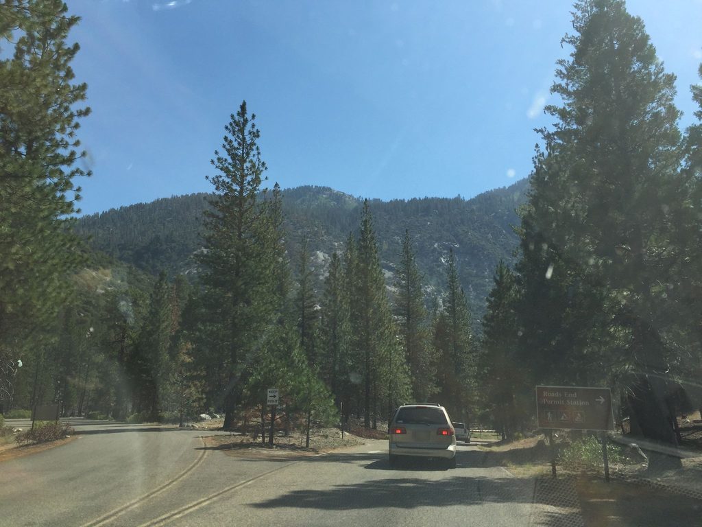
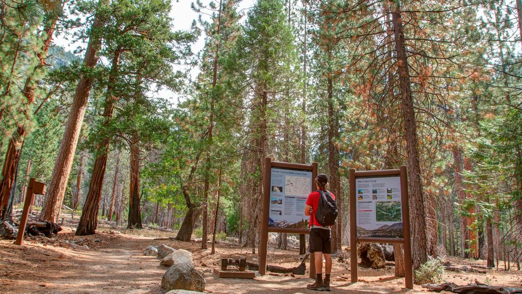
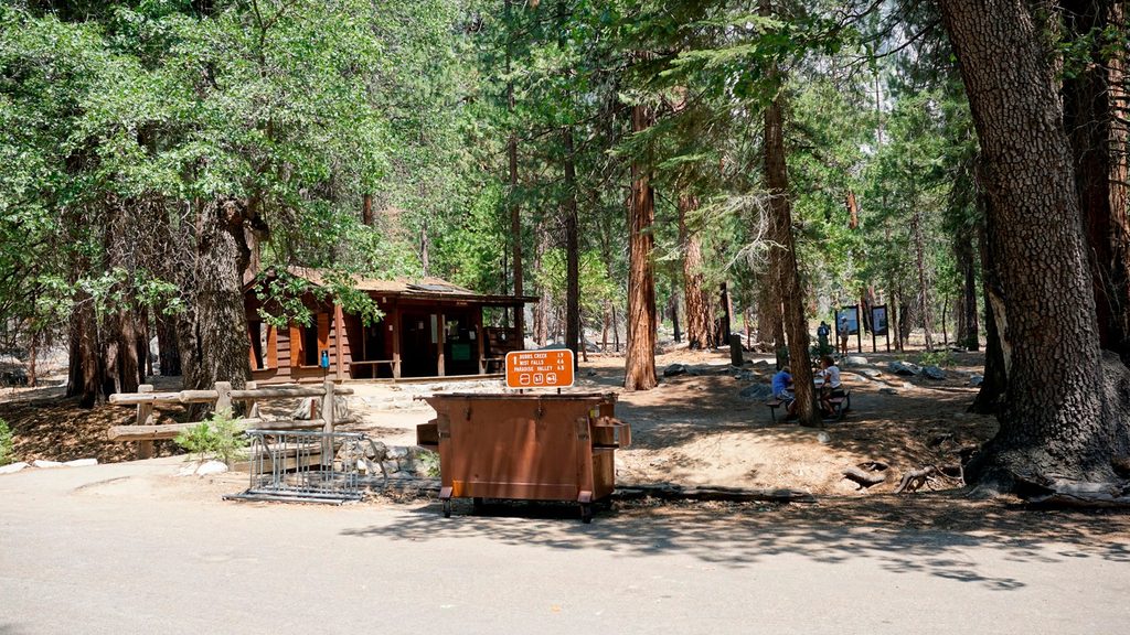
Park at Road’s End in the Cedar Grove area (Woods Creek/Bubbs Creek/Rae Lakes Loop trailhead). Seasonal ranger presence, potable water, vault toilets, trash, and signed orientation map at the trailhead.
Steep initial switchbacks; intense summer heat and gnats; rattlesnakes in lower canyon; first legal camp is 4 miles at Sphinx Creek; early-season snow can affect nearby high passes.
Place · 0 mi away
Place · 0.1 mi away
Place · 0.2 mi away
Place · 0.2 mi away
Challenging · 0 mi away
Challenging · 0 mi away
Challenging · 0 mi away
Moderate · 0 mi away

Parkwolf Tour Guide
