Parking
Park at the Road’s End Permit Station lot at the end of Highway 180 in Cedar Grove. The Woods Creek and Bubbs Creek trailheads are beside the station, which has a restroom; the drive from Kings Canyon Visitor Center takes about an hour.
Kings Canyon National Park, CA
Climb past Mist Falls to a green river valley beneath granite walls.
Overview
Map & elevation
Plan your hike

The highest, rockiest slopes around here are a summer buffet for grizzly bears.
Kings Canyon Tour Guide
Parkwolf is a GPS audio tour guide for Kings Canyon National Park. As you drive, it chimes in with what’s ahead: hidden gems, upcoming stops, history, geology, and wildlife, right through your car’s speakers.
See the Kings Canyon audio tourRecorded for this trailhead
Road's End and Muir Rock“You're nearing Road's End, where Highway one eighty finishes and a short dirt path leads to Muir Rock beside the Kings River.”
Plays as you drive up to this trailhead in the Parkwolf Kings Canyon Tour Guide.
More stories near here in the app
“…The kids and my husband and I all agree that the narration really added to our experience driving through the parks. We learned so much about the history and the flora & fauna.”


Trail guide
Paradise Valley Trail is an 11.4-mile out-and-back from Road’s End to Lower Paradise, following Woods Creek past Mist Falls and into a broad granite valley. Allow about seven hours for a long day with roughly 1,500 feet of climbing. This map ends at Lower Paradise, not Upper Paradise and not the full Rae Lakes Loop. The mapped endpoint is Lower Paradise, listed 5.7 miles from Road’s End, so the saved distance uses that one-way figure twice. A separate Woods Creek description places the first allowed Paradise Valley campsite 6.5 miles away, which appears to be farther into the valley. Confirm the designated overnight site at the permit station. If the full valley is too much, Mist Falls is the shorter turnaround, listed separately at 8 miles round trip.
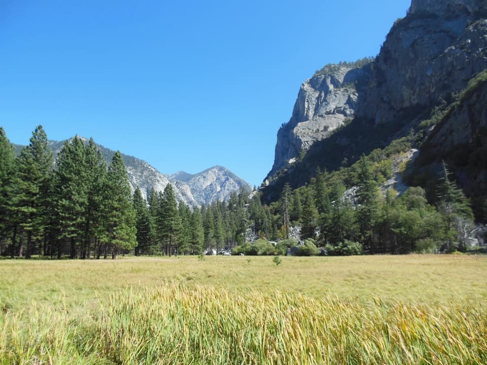
Start beside the Road’s End Permit Station. The first couple of miles follow a broad, sandy track through open ponderosa pine, incense cedar, and black oak, with the canyon walls already framing the river corridor. At the junction about two miles in, keep left for Woods Creek. The steel bridge goes over to Bubbs Creek, the other leg of the Rae Lakes Loop. Beyond the junction, the footing alternates between rocky open patches, damp ground near the river, and cooler forest. There is some shade, but the exposed parts can feel long on a warm day. This is a real approach walk, not a quick stroll to the waterfall.
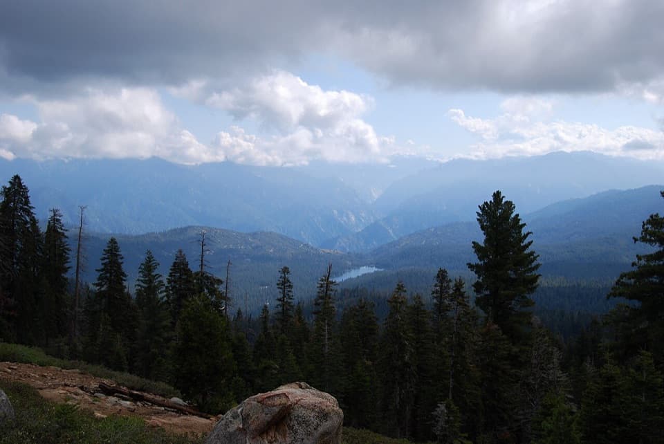
Mist Falls arrives after roughly four miles. The last mile to the falls gains about 600 feet. The river pours over smooth granite and throws spray across the rocks, which makes the viewing area slippery and dangerous. Stay on the established path instead of scrambling closer to the water. The falls make a natural turnaround, but continuing means climbing rough steps and steep switchbacks above them. The view back down the canyon opens as you gain height; the forested walls and granite formations, including the Sphinx-shaped rock pile, give you a better sense of the canyon’s scale.
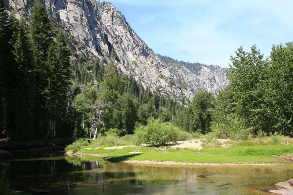
Above the switchbacks, cascades spill over granite slabs before the river narrows at a jam of bleached logs. That logjam marks the entrance to Paradise Valley. The canyon floor opens, the river slows into green pools, and cottonwoods and aspens line parts of the bank. The trail becomes nearly level for a stretch through dense woods, so the scenery is quieter and more enclosed than the climb below. Lower Paradise is a common walking destination and the mapped endpoint here. The route continues beyond it toward the higher Rae Lakes backcountry, but that is a longer itinerary with different camping and river-crossing decisions. Cottonwoods and aspens may add fall color along the water.
The mileage is manageable for a fit hiker, but the long return and rocky climb beyond Mist Falls make this a hard day hike. For a shorter outing, turn around at the falls; the separate Mist Falls walk is listed as 8 miles round trip. Overnight trips require a wilderness permit issued at Road’s End, and food must be stored in a bear-resistant canister. Camping in Lower Paradise is limited to designated sites, and stays in Paradise Valley are limited to two nights. Pets are not allowed on park trails. The permit station and restroom are at the end of Highway 180 in Cedar Grove, about an hour’s drive from the Kings Canyon Visitor Center. Highway 180 normally closes for winter in mid-November and typically reopens in late April, subject to CalTrans, so check seasonal road access before making the drive.
Wildlife
 227 sightingsBlack BearMost seen around 7 PMSighting map
 385 sightingsMule DeerMost seen around 7 PMSighting map
 188 sightingsMarmotMost seen around 8 AMSighting map
 118 sightingsPikaMost seen around 7 AMSighting map
 14 sightingsGolden TroutMost seen around 7 PMSighting map
 32 sightingsRainbow TroutMost seen around 7 PMSighting map
Sighting maps show where each species has been reported across Kings Canyon. Wildlife moves, so no sighting is guaranteed.
Keep exploring
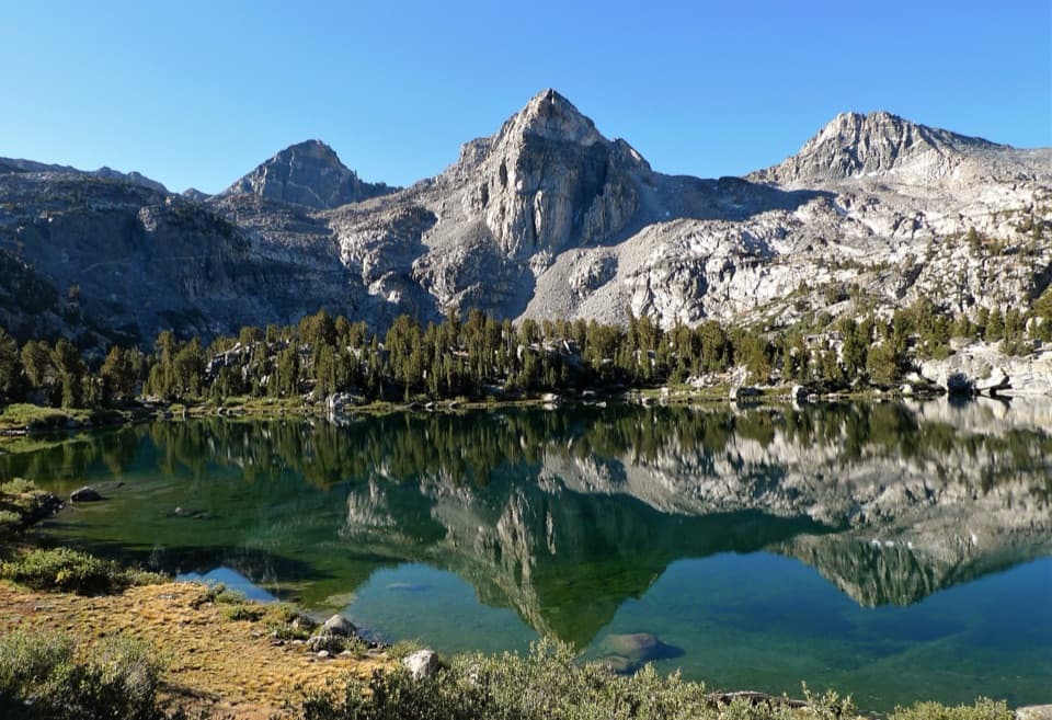 ChallengingRae Lakes Loop41.4 mi · 1.3 days · At the trailheadA high Sierra circuit of lakes, granite and a hard pass.
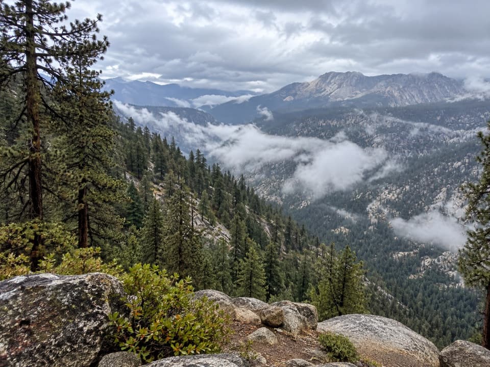 ChallengingBig SEKI Loop154.8 mi · 4 days · At the trailheadA 155-mile wilderness loop over high Sierra passes and alpine lakes.
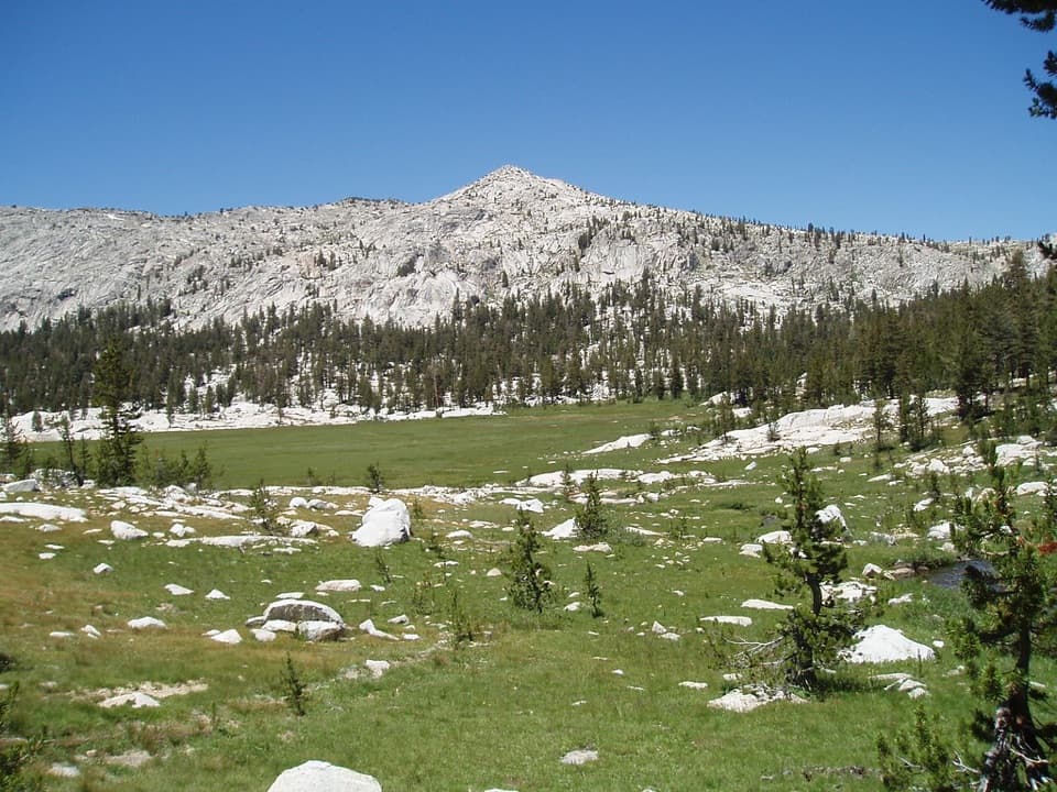 ChallengingGranite Lake and Granite Basin Trail21.9 mi · 12 hr · At the trailheadA steep climb into a granite basin and its high alpine lake.
 ModerateMist Falls Trail8 mi · 4.5 hr · At the trailheadRapids, granite canyon walls and a waterfall worth the long walk.
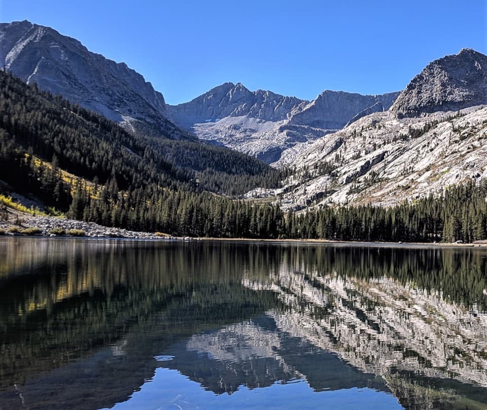 ChallengingEast Lake Trail26.1 mi · 15 hr · At the trailheadAn all-day climb to East Lake beneath Mount Brewer.
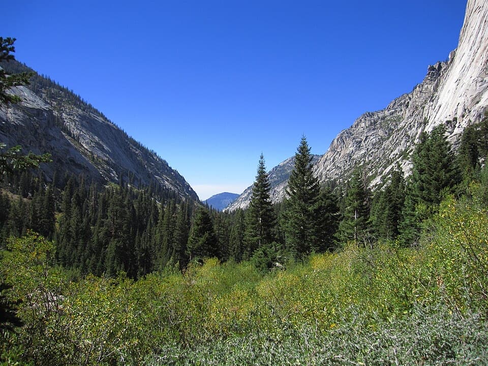 ChallengingBubb's Creek Trail24.6 mi · 12 hr · At the trailheadA steep start opens into a long High Sierra creek corridor.ChallengingLake Reflection Trail36.9 mi · 20 hr · At the trailheadA rugged 37-mile out-and-back through Junction Meadow to Lake Reflection.ChallengingWoods Creek Trail to Woods Creek Crossing31.4 mi · 18 hr · At the trailheadA long backcountry walk to the Woods Creek suspension bridge.
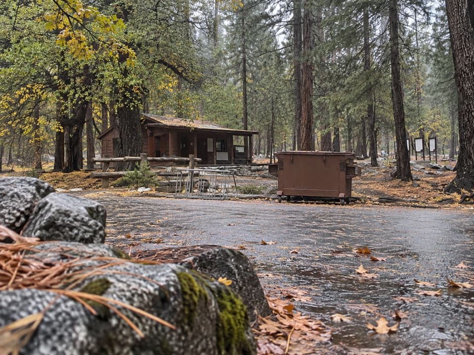 Ranger station · At the trailheadRoad's End Permit StationWilderness permits start here, at the end of Highway 180.
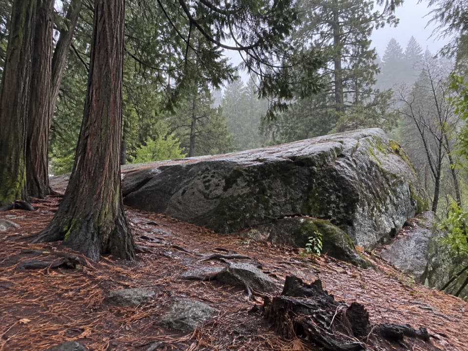 Sight · 0.1 mi awayMuir RockJohn Muir spoke from this boulder about glaciers that shaped the canyon.
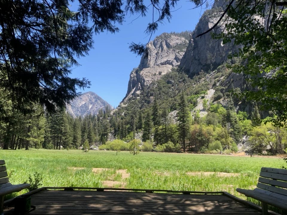 Sight · 0.9 mi awayZumwalt MeadowA short river crossing opens onto a green meadow beneath granite walls.Sight · 2.3 mi awayMist FallsA big waterfall at the end of an 8-mile round trip.
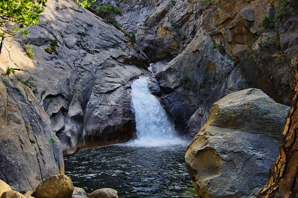 Sight · 2.3 mi awayRoaring River FallsA 40-foot waterfall, reached by a short but steep paved path.
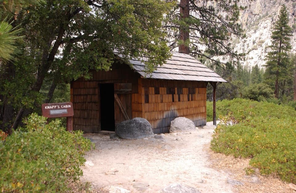 Sight · 3.1 mi awayKnapp's CabinA 1925 fishing cabin with canyon views from a glacial moraine.
 Campground · 4.4 mi awayMoraine CampgroundA riverfront base for Cedar Grove's hikes.
 Sight · 4.5 mi awayCedar Grove Pack StationHorseback rides follow the river through Cedar Grove.
Parkwolf’s Kings Canyon ranking

The audio tour guide for the drive, plus offline maps, trails, and wildlife heatmaps for when the signal drops.