Parking
Park at Road’s End, at the end of Kings Canyon Road. The trailhead is just past the Road’s End Permit Station; parking is shared with several backcountry routes, so summer demand varies.

#2 of 77 trails in Kings Canyon
Kings Canyon National Park, CA
Rapids, granite canyon walls and a waterfall worth the long walk.
Overview
Map & elevation
Plan your hike

The highest, rockiest slopes around here are a summer buffet for grizzly bears.
Kings Canyon Tour Guide
Parkwolf is a GPS audio tour guide for Kings Canyon National Park. As you drive, it chimes in with what’s ahead: hidden gems, upcoming stops, history, geology, and wildlife, right through your car’s speakers.
See the Kings Canyon audio tourRecorded for this trailhead
Road's End and Muir Rock“You're nearing Road's End, where Highway one eighty finishes and a short dirt path leads to Muir Rock beside the Kings River.”
Plays as you drive up to this trailhead in the Parkwolf Kings Canyon Tour Guide.
More stories near here in the app
“…The kids and my husband and I all agree that the narration really added to our experience driving through the parks. We learned so much about the history and the flora & fauna.”


Trail guide
Mist Falls is an 8-mile out-and-back from Road’s End, following the South Fork of the Kings River through forest and chaparral to a broad waterfall. Allow four to five hours. The first part is fairly level, but the last mile climbs about 600 feet, so this is a real half-day walk rather than a quick waterfall stop. I’d choose it when you want the canyon and river as much as the falls; the route gives you rapids and cascades on the way out, then the waterfall as its payoff.
Park at Road’s End at the end of Kings Canyon Road. The trailhead is just past the Road’s End Permit Station. About two miles in, you reach the junction where the Rae Lakes Loop begins. Turn left toward Mist Falls. The Rae Lakes Loop continues into the backcountry and is a much longer trip; the Mist Falls hike turns around at the falls and returns on the same trail.
Road’s End serves several backcountry routes, not just this day hike. Summer parking demand can vary as overnight hikers leave cars there. Gnats and mosquitoes can be a real nuisance here; if they are active, a head net can make the open sections more comfortable.
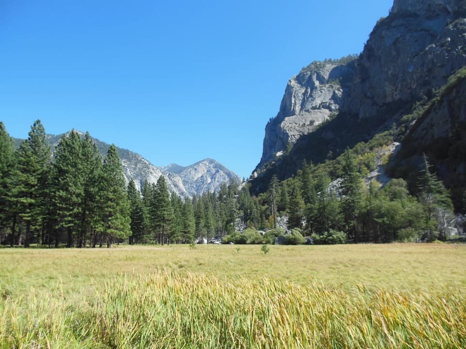
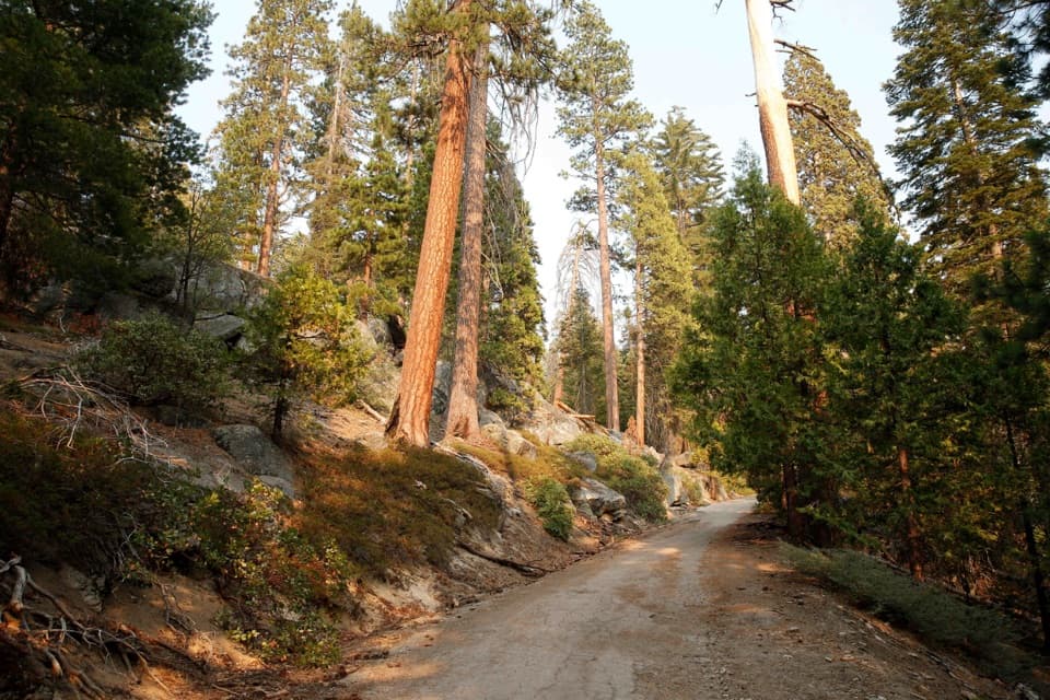
The sandy trail runs through the bottom of the glaciated South Fork Canyon, alternating forest and chaparral while following rapids and smaller cascades. The first roughly two miles are relatively flat and exposed. It can feel warmer and sunnier than the wooded finish, and the valley north of you starts to open up before the Rae Lakes junction. Beyond that fork, the path re-enters the forest and stays more shaded toward the falls.
The walking gets steeper near the end: the final mile gains about 600 feet. The waterfall is roughly 100 feet high and pours over granite beside the South Fork. It is one of the largest waterfalls in Sequoia and Kings Canyon. The south-facing viewpoint before the falls is worth a pause; it is one of the route’s signature views.
Mist and spray can make the rocks around the falls hazardous. Stay back from slick edges and fast water; the river changes with snowmelt, so access to the water is not something to count on. The falls change dramatically through the season, from high spring flow to a different shape later in summer.
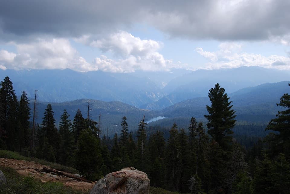
The South Fork runs through a glaciated canyon, and the trail makes that scale easy to read: steep granite walls rise above a river corridor cut by cascades. The rapids are part of the experience for most of the walk, not just scenery at the end. The falls themselves drop through a steep granite slope, so the view is about the moving water against rock as much as the height of the drop.
No wilderness permit is needed for this day hike; permits are for overnight trips. Pets are prohibited on trails in both parks. Cedar Grove access is usually seasonal, typically from May through early or mid-November, and opening dates can shift with weather.
Wildlife
 227 sightingsBlack BearMost seen around 7 PMSighting map
 385 sightingsMule DeerMost seen around 7 PMSighting map
 188 sightingsMarmotMost seen around 8 AMSighting map
 118 sightingsPikaMost seen around 7 AMSighting map
 14 sightingsGolden TroutMost seen around 7 PMSighting map
 32 sightingsRainbow TroutMost seen around 7 PMSighting map
Sighting maps show where each species has been reported across Kings Canyon. Wildlife moves, so no sighting is guaranteed.
Keep exploring
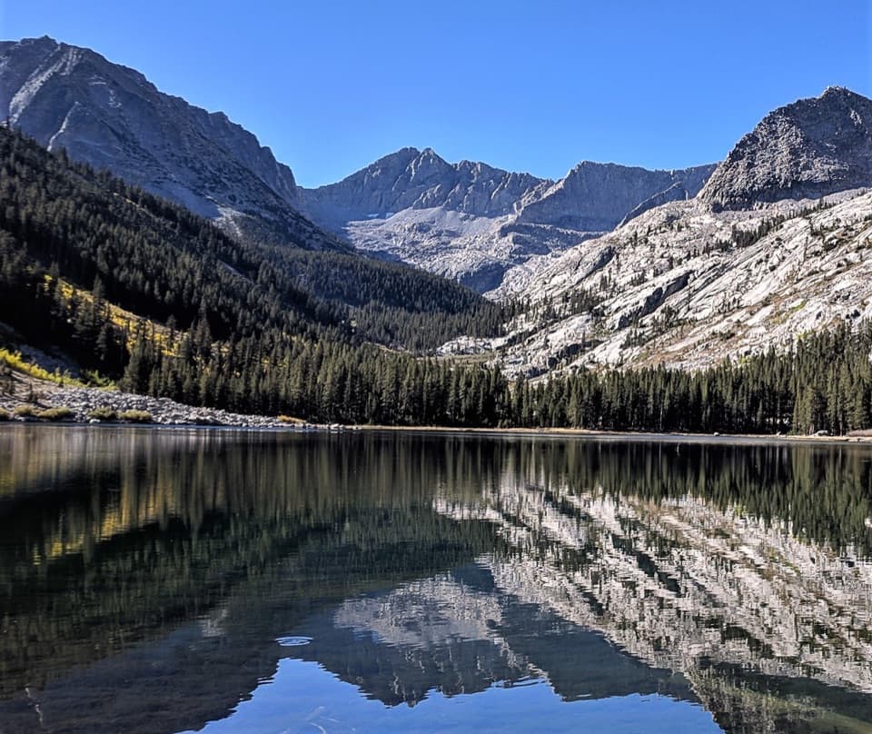 ChallengingEast Lake Trail26.1 mi · 15 hr · At the trailheadAn all-day climb to East Lake beneath Mount Brewer.
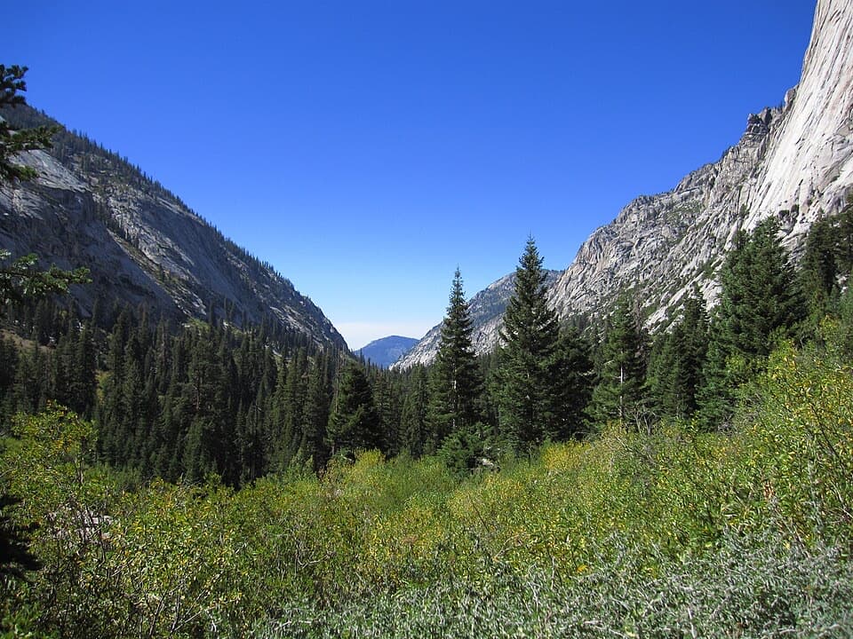 ChallengingBubb's Creek Trail24.6 mi · 12 hr · At the trailheadA steep start opens into a long High Sierra creek corridor.ChallengingLake Reflection Trail36.9 mi · 20 hr · At the trailheadA rugged 37-mile out-and-back through Junction Meadow to Lake Reflection.
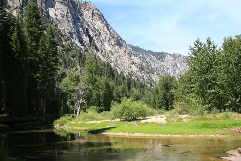 ChallengingWoods Creek Trail to Woods Creek Crossing31.4 mi · 18 hr · At the trailheadA long backcountry walk to the Woods Creek suspension bridge.
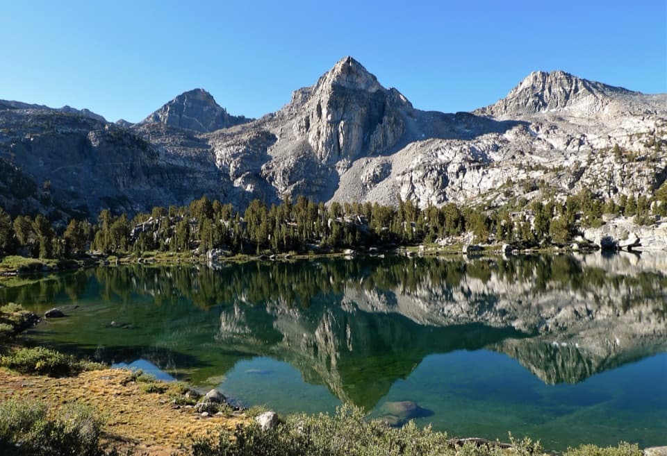 ChallengingRae Lakes Loop41.4 mi · 1.3 days · At the trailheadA high Sierra circuit of lakes, granite and a hard pass.ChallengingParadise Valley Trail11.4 mi · 7 hr · At the trailheadClimb past Mist Falls to a green river valley beneath granite walls.
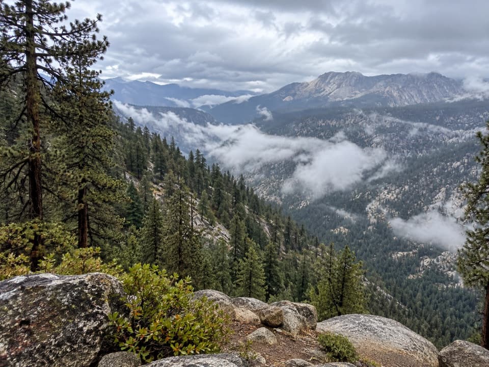 ChallengingBig SEKI Loop154.8 mi · 4 days · At the trailheadA 155-mile wilderness loop over high Sierra passes and alpine lakes.
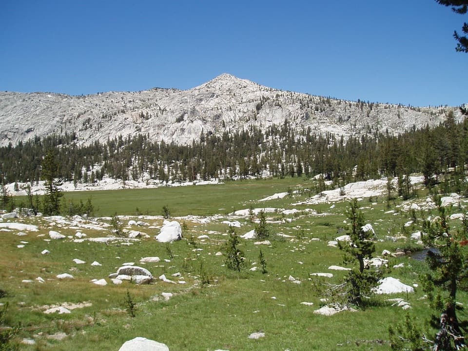 ChallengingGranite Lake and Granite Basin Trail21.9 mi · 12 hr · At the trailheadA steep climb into a granite basin and its high alpine lake.
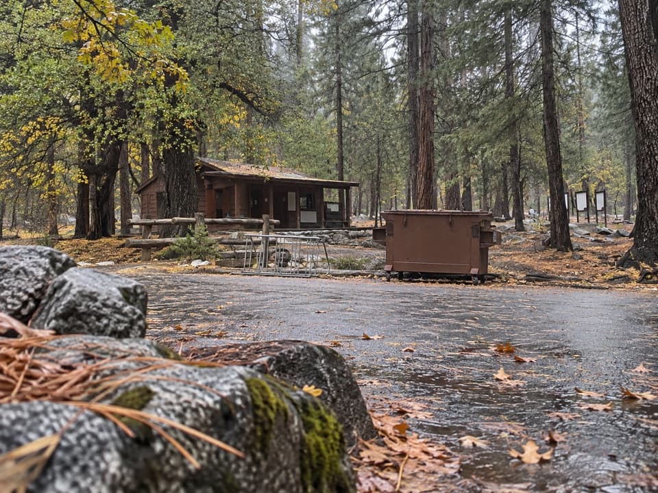 Ranger station · At the trailheadRoad's End Permit StationWilderness permits start here, at the end of Highway 180.
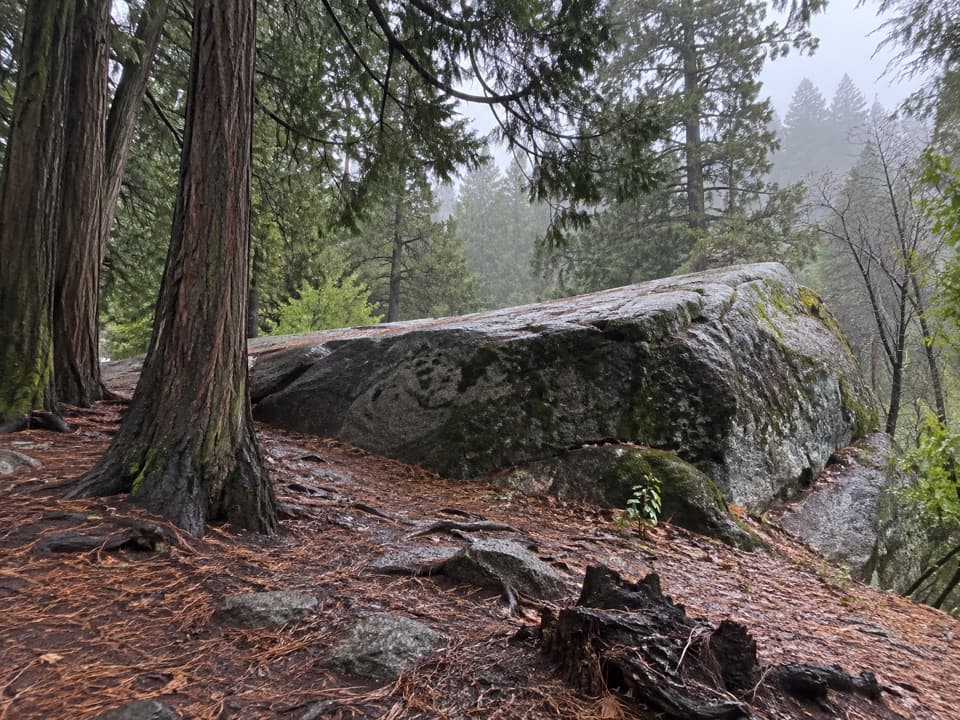 Sight · 0.1 mi awayMuir RockJohn Muir spoke from this boulder about glaciers that shaped the canyon.
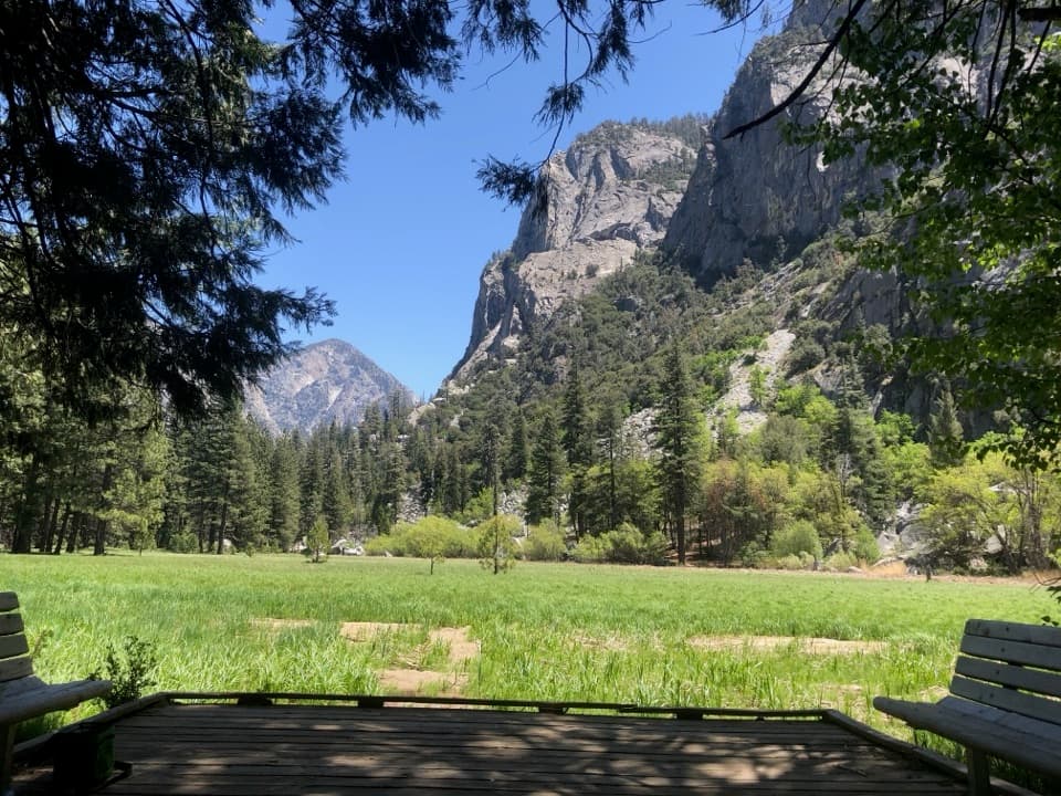 Sight · 0.9 mi awayZumwalt MeadowA short river crossing opens onto a green meadow beneath granite walls.Sight · 2.3 mi awayMist FallsA big waterfall at the end of an 8-mile round trip.
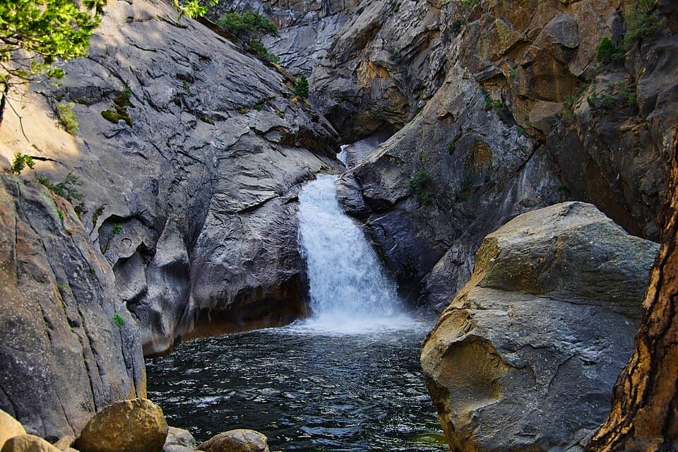 Sight · 2.3 mi awayRoaring River FallsA 40-foot waterfall, reached by a short but steep paved path.
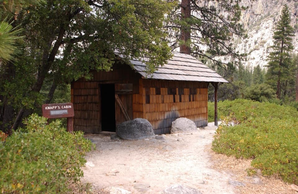 Sight · 3.1 mi awayKnapp's CabinA 1925 fishing cabin with canyon views from a glacial moraine.
 Campground · 4.4 mi awayMoraine CampgroundA riverfront base for Cedar Grove's hikes.
 Sight · 4.5 mi awayCedar Grove Pack StationHorseback rides follow the river through Cedar Grove.
Parkwolf’s Kings Canyon ranking

The audio tour guide for the drive, plus offline maps, trails, and wildlife heatmaps for when the signal drops.