
Place · 0 mi away
Challenging
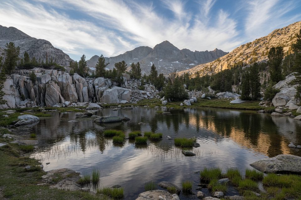
This is the quieter neighbor to Rae Lakes: a faint, established spur that slips over a low saddle and wanders into a glacially carved basin dotted with tarns and polished granite. Expect fewer people, classic High Sierra scenery, and a choose-your-own-adventure feel once the tread starts to fade. Reported stats for the full outing are about 13.6 miles point‑to‑point with roughly 4,616 feet of gain and around 8 hours of moving time, though that figure often reflects the approach plus the basin spur rather than just the lower-basin trail itself. The in-basin path becomes subtle and eventually peters out near the larger lower-basin lake.
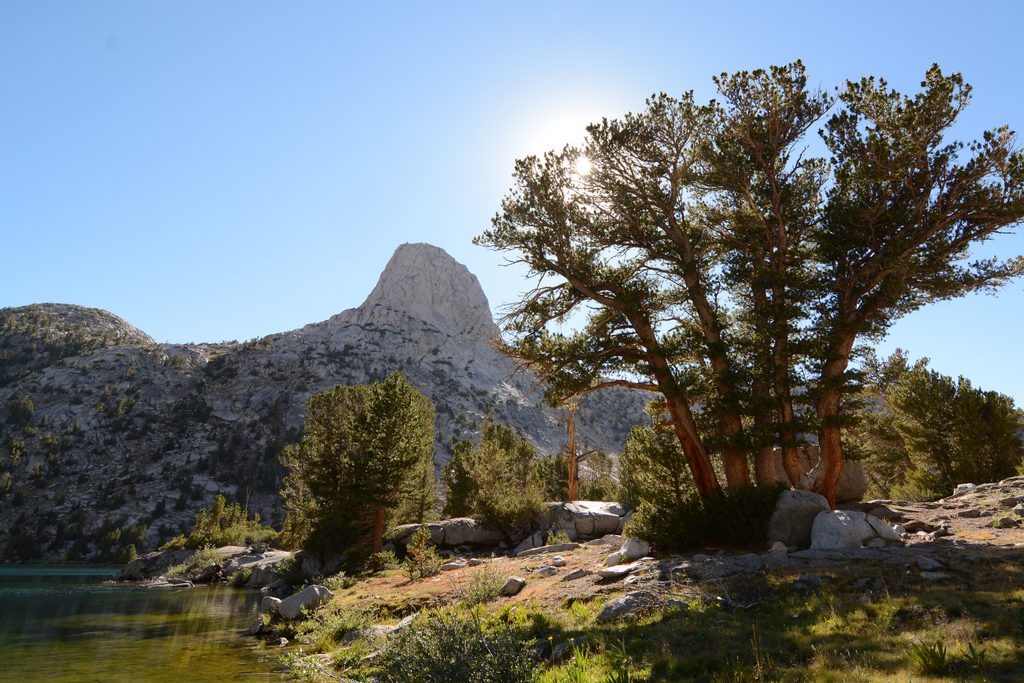
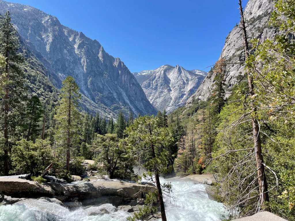
Underfoot you’ll get a mix of smooth glaciated slabs, occasional talus benches, and bits of sandy tread. The main spur from Rae Lakes is straightforward to the saddle; beyond, the route threads past a chain of lakes and gradually fades, turning into light cross-country if you continue. Cairns help in spots, but don’t count on them. The basin’s “big picture” is a hanging valley of pale granite shelves, with skyline views that take in the surrounding high peaks.
A small waterfall in the basin separates fishless upper waters (active gill‑net removal for native amphibian restoration) from trout‑holding lakes below the falls. Angling can be modest but fun in the lower basin; expect no fish above the barrier. Mosquitoes spike around the shallower, fishless lakes—come prepared mid‑summer. Wildlife sightings can include Black Bear and, with luck, Bighorn Sheep, plus the usual high‑country marmots, pika, and deer. Store food properly; carry a canister if you plan to camp away from bear boxes.
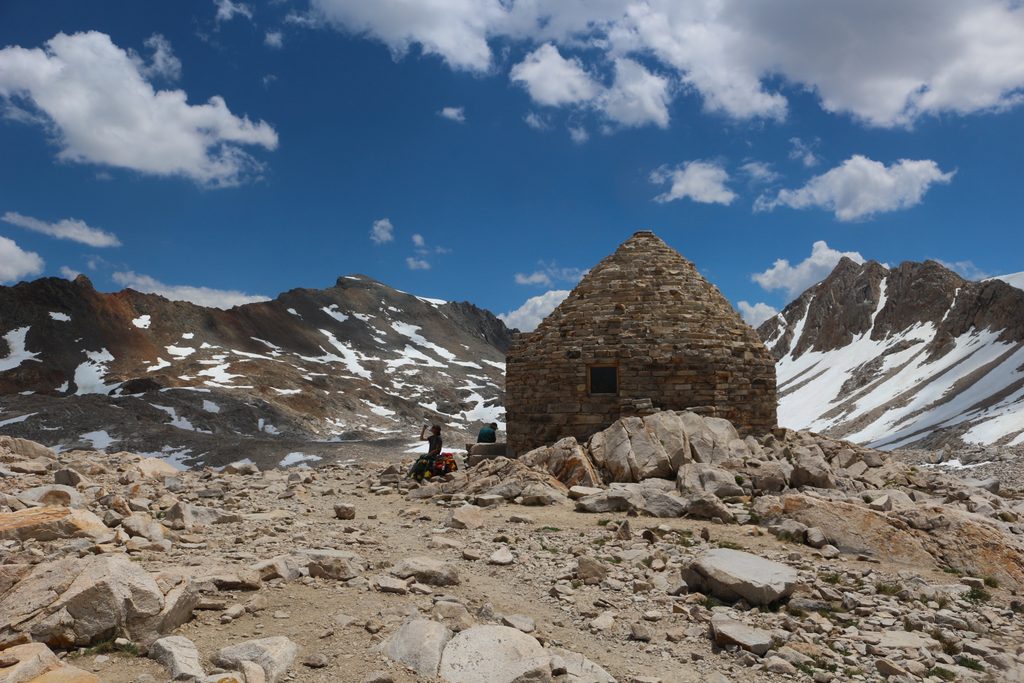
Plan for a summer window. The practical season is typically July–September when the route is mostly snow-free. June can go either way depending on the year, and snow can linger on nearby passes early season. For photography, morning light often plays nicely across the basin from the saddle and at the larger lower‑basin lake; evenings bring calm reflections but also prime mosquito hours.
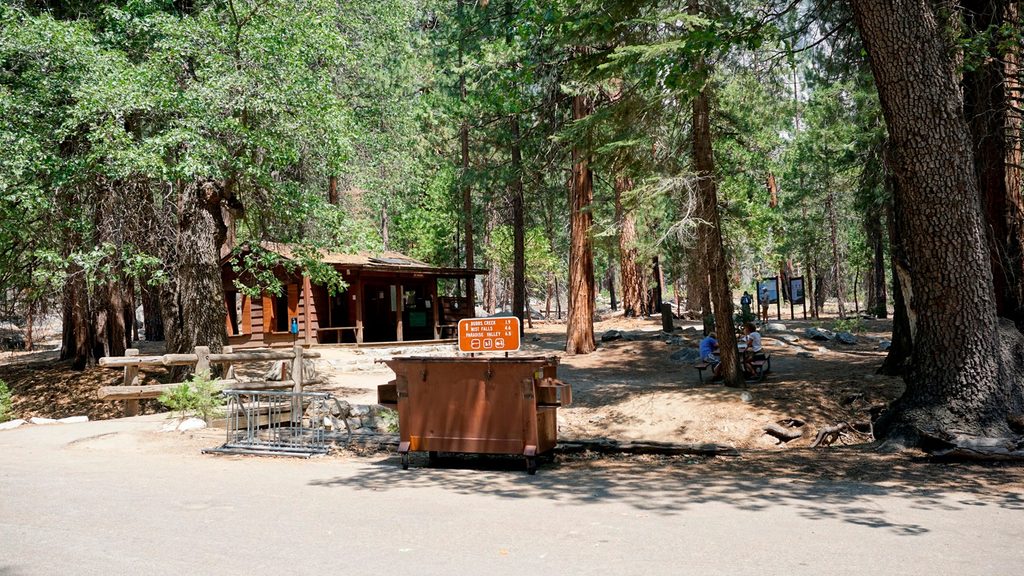
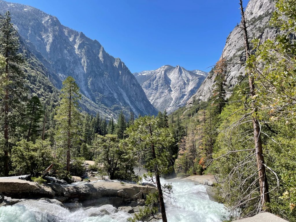
Most hikers reach the basin from Rae Lakes. Common approaches are a strenuous east‑side entry from Onion Valley over Kearsarge and Glen Pass, or the Rae Lakes Loop from Roads End on the west side—then take the signed spur toward Sixty Lakes Basin near the creek between the two Rae Lakes. Overnight permits are required in season; dogs are not allowed in the backcountry here.
If you love Rae Lakes views but not Rae Lakes crowds, yes—this is the underrated add‑on. The faint trail and light route‑finding keep it honest; the waterfall dividing fishless and fishy lakes is a quirky natural highlight. If you want a perfectly manicured path or you’re early‑season snow‑averse, stick to the main corridor instead.
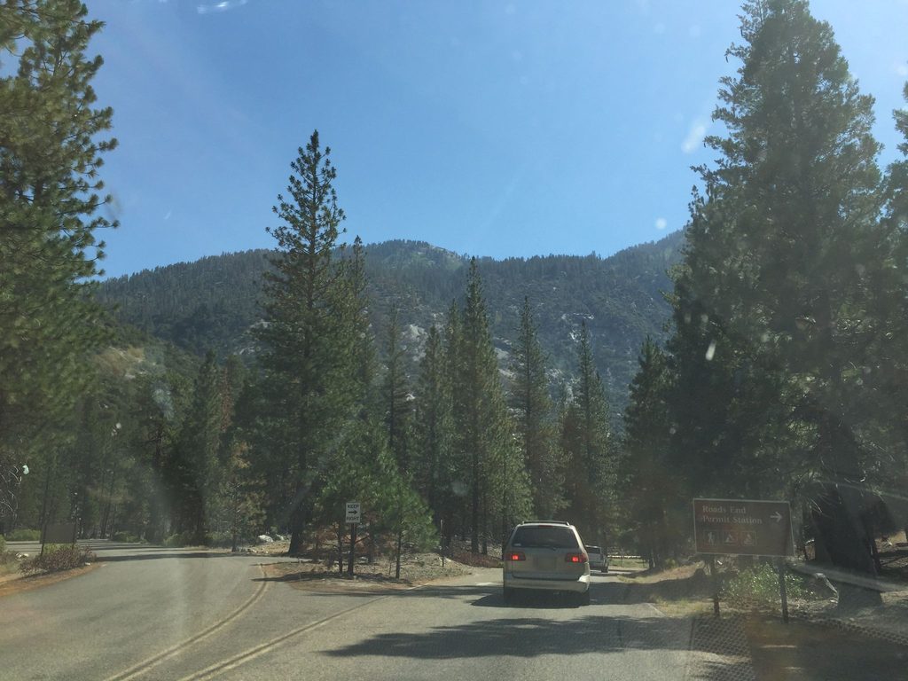
Park at Onion Valley Trailhead (east side) or Roads End (west side), then hike to Rae Lakes and take the signed spur into Sixty Lakes Basin.
Faint tread and slabby granite demand confident navigation; early-season snow lingers on nearby passes; off‑trail shortcuts/cols can involve class 3–4 scrambling not suitable for casual hikers; heavy mosquitoes mid‑summer; no campfires above 10,000 ft; store food properly.
Place · 0 mi away
Place · 0.1 mi away
Place · 0.2 mi away
Place · 0.2 mi away
Challenging · 0 mi away
Challenging · 0 mi away
Challenging · 0 mi away
Moderate · 0 mi away

Parkwolf Tour Guide
