
Place · 0 mi away
Challenging
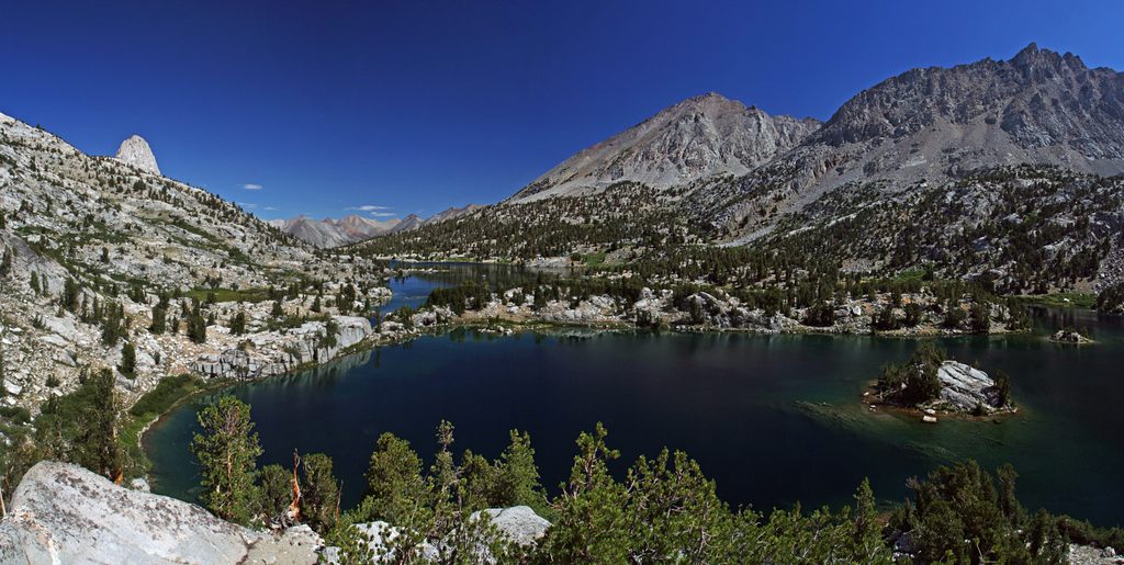
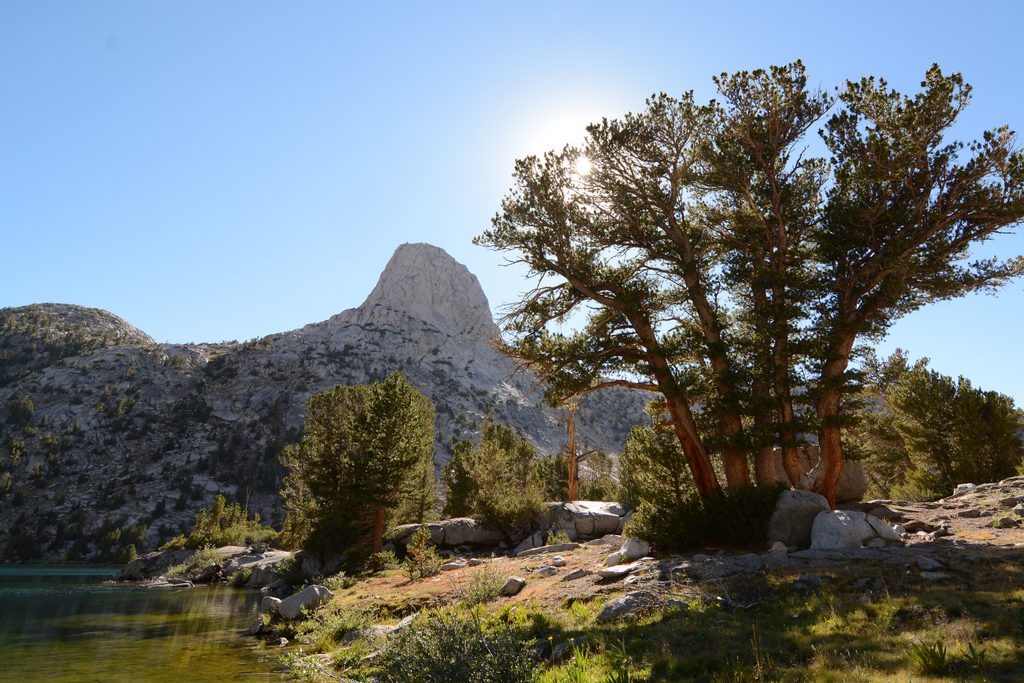
If you love Rae Lakes scenery but not Rae Lakes crowds, this is your escape. The Upper Sixty Lakes Basin sits just northwest of Rae Lakes and delivers classic High Sierra granite, tarns, and benches with far fewer people. Expect a faint spur trail into the lower basin and true cross-country travel in the upper basin—this is a choose‑your‑own‑adventure for confident navigators.
The most common approach is from Onion Valley over Kearsarge Pass and Glen Pass to Rae Lakes, then up the Sixty Lakes Basin spur. Plan on roughly 13.6 miles one way to reach the basin from Onion Valley; actual mileage grows as you explore lake-to-lake in the upper basin. The official spur fades out in the lower basin—beyond that you’re on granite benches, ledges, and occasional talus, with short cliff bands dictating your line.
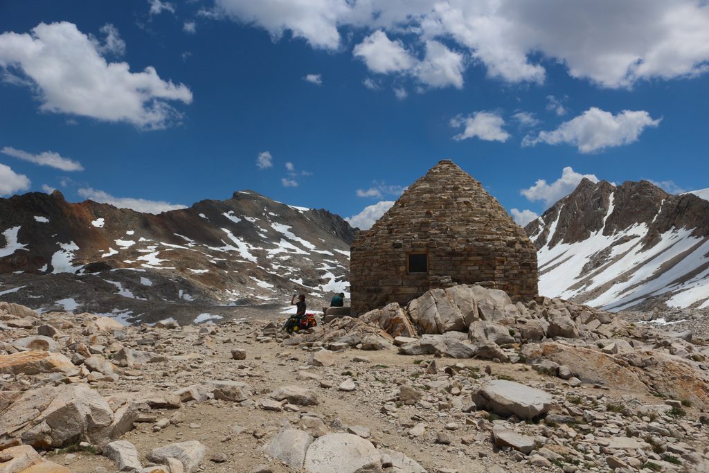
On trail, the going is simply strenuous. Off trail, it becomes an alpine puzzle. Around Lake 10,840 in the upper basin, expect tricky route-finding with cliffy lake shores and potential short, exposed scrambling if you pick a poor line. From Sixty Lakes Col (linking to Gardiner Basin), descent routes can include class 3 moves and, depending on choice, short class 4 steps—only for experienced parties in good conditions. Avoid steep, brushy exit shortcuts (like willow-choked notches) unless you’re very sure of the terrain and your time.
You’re in prime bear country—use strict food storage. Parties occasionally spot Sierra Nevada bighorn sheep in the greater 60 Lakes/Gardiner area; give them wide space. Upper-basin lakes may be fishless due to restoration work for the endangered Sierra yellow‑legged frog; trout (including some goldens) reappear below small natural barriers in the lower basin. Mosquitoes can be fierce mid‑season, especially around meltwater and fishless lakes—headnet and strong repellent pay off.
July through September is the sweet spot. Early season often holds firm snow and icy steps on north aspects (notably Glen Pass), which can warrant traction. Even in summer, nights at 10–11.5k feet run cold, and afternoon thunderstorms are possible—start early, summit passes before the build‑up, and keep a flexible plan. Weekdays further boost the solitude that makes this basin shine.
Overnight permits are required; your entry trailhead determines who issues it. Off‑trail travel in the Sixty Lakes Basin area has a party size limit of 8. Bear canisters are required, and this is a high‑use bear area—store food properly at all times. No campfires above 10,000 feet. Expect camping restrictions in the Rae Lakes corridor (including designated site and night‑limit rules), and always camp well away from water and fragile vegetation.
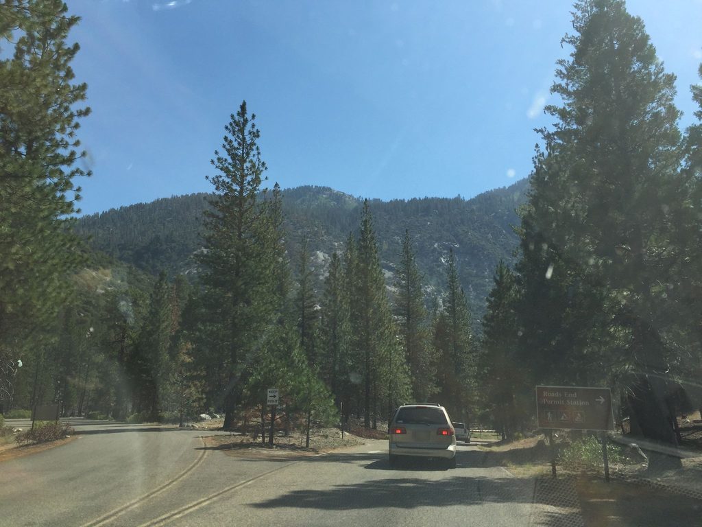
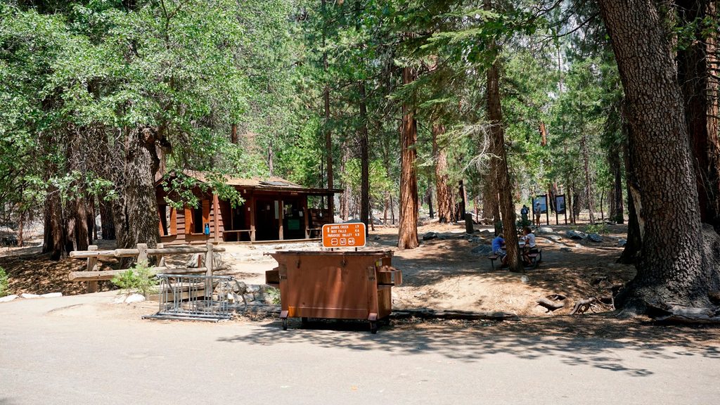
Most backpackers start at Onion Valley to reach the basin in a long day or split it over two. Others come via the Rae Lakes Loop and take the faint spur into the basin. Park at Onion Valley Trailhead if entering over Kearsarge Pass, or at the Roads End trailhead if your itinerary comes up the Rae Lakes corridor.
Park at Onion Valley Trailhead for the Kearsarge–Glen–Rae Lakes approach, or at the Roads End trailhead if coming via the Rae Lakes corridor.
Upper basin is off trail with cliff bands; possible short class 3–4 moves if off-route. Early-season snow/ice on Glen Pass; dense willows and very steep slopes on some cross-country exits.
Place · 0 mi away
Place · 0.1 mi away
Place · 0.2 mi away
Place · 0.2 mi away
Challenging · 0 mi away
Challenging · 0 mi away
Challenging · 0 mi away
Moderate · 0 mi away

Parkwolf Tour Guide
