
Place · 0 mi away
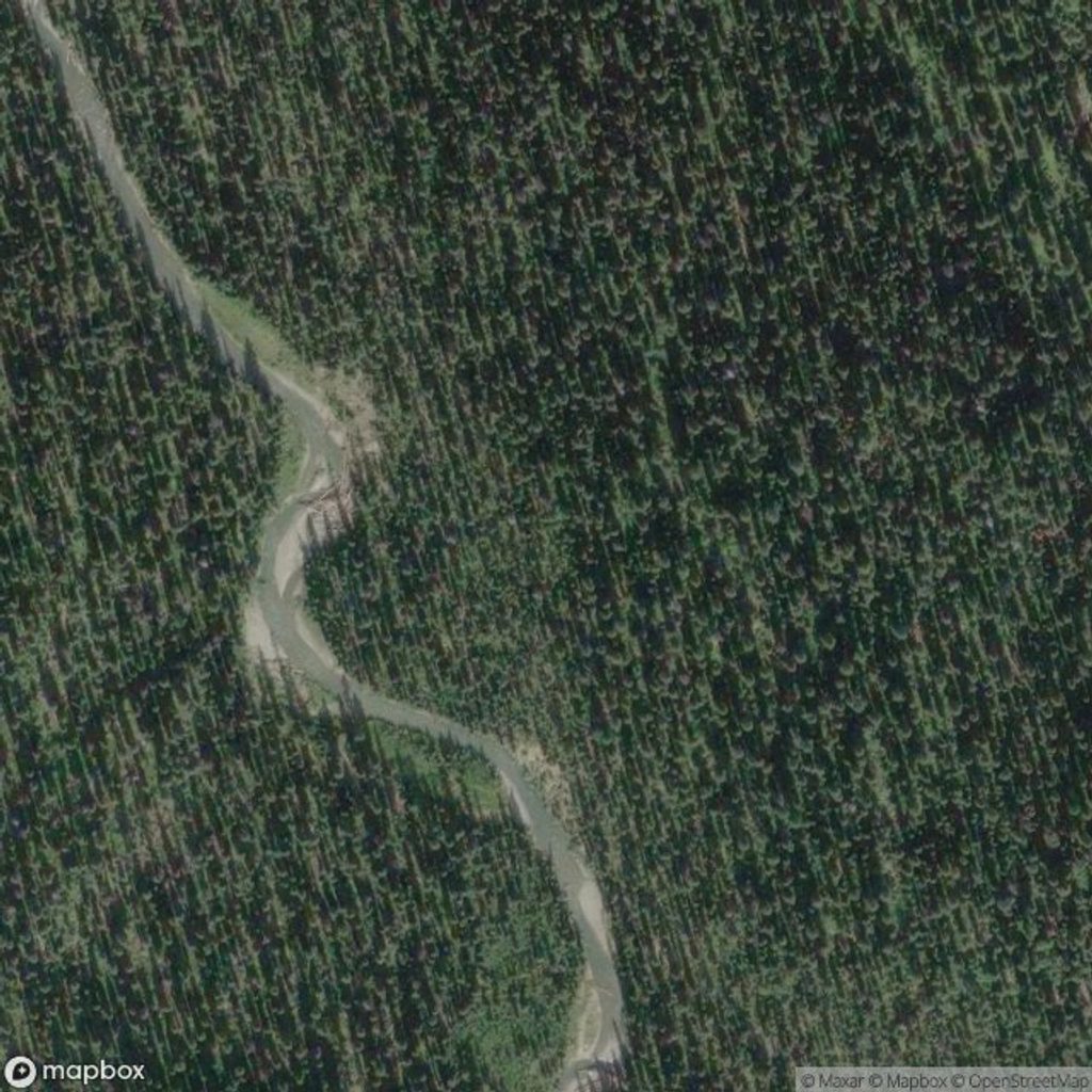
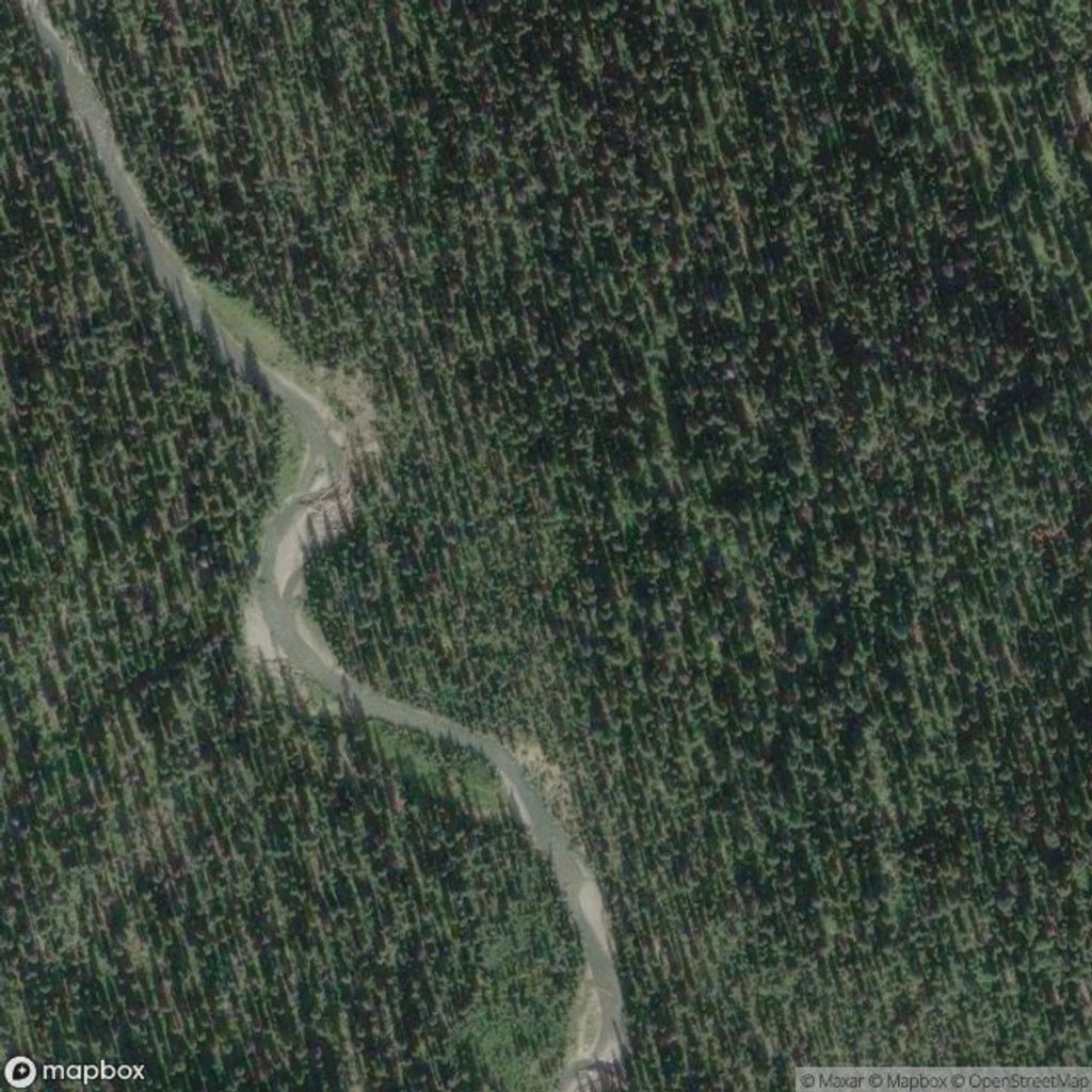
Tumbling Creek Campground is a designated backcountry stop on the Rockwall—quiet, creekside, and purpose‑built for backpackers. It’s a natural first or last night if you’re sampling a section of the route or doing a simple out‑and‑back.
From the Paint Pots trailhead, it’s about 10.2 km one way with roughly +700 m/–245 m of elevation, or roughly 20 km return for an out‑and‑back. Most hikers plan this as a relaxed 1‑night trip or include it in a longer Rockwall itinerary.
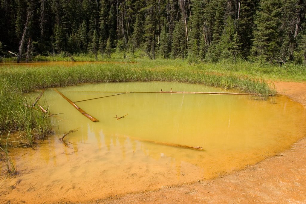
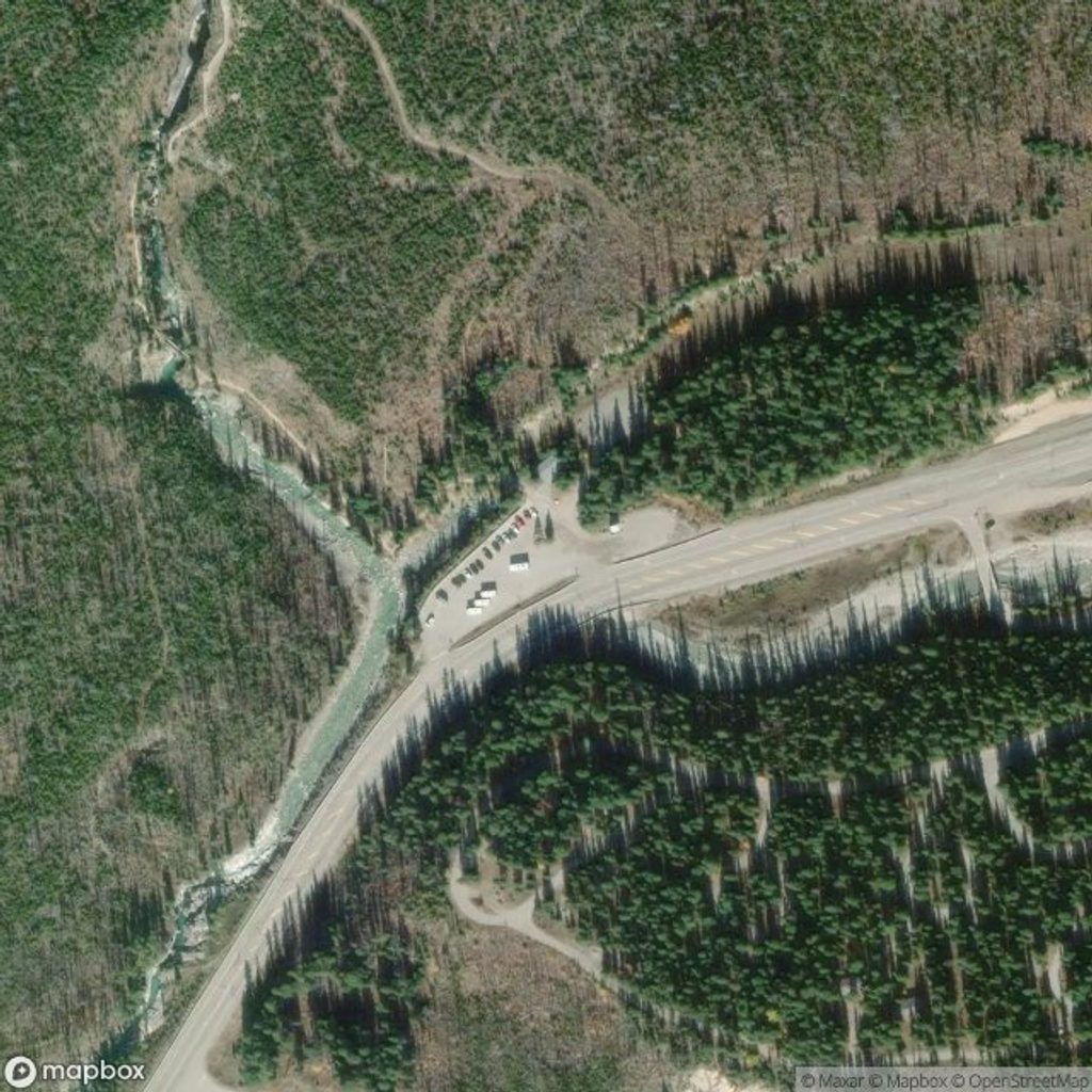
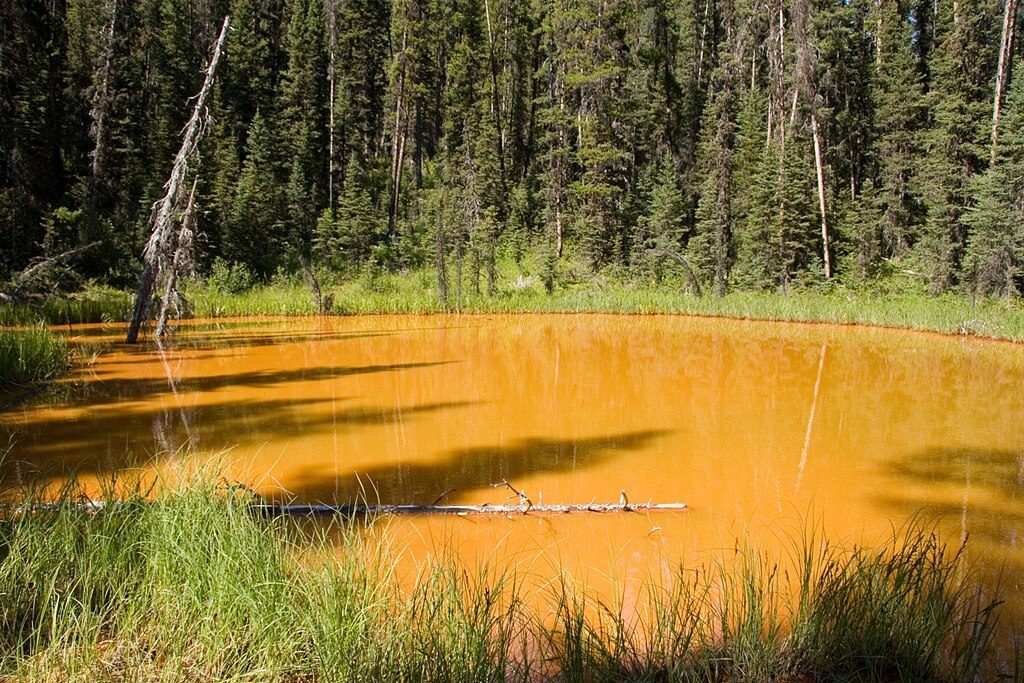
Start at the Paint Pots parking area on Highway 93S. Follow the Paint Pots Trail past the ochre pools, continue on Helmet Trail, and turn onto the Tumbling Creek Trail at the signed junction to reach the campground. Some itineraries use Numa Falls as an alternate access when shuttling sections of the Rockwall.
Expect standard Parks Canada backcountry infrastructure: tent pads, dry toilets, communal picnic tables in a defined cooking area, and wildlife‑proof food storage (cables/lockers). Water is drawn from the creek; treat or filter before drinking. Campfires are not permitted anywhere in the backcountry—bring a stove and fuel.
Main season runs June–October, with July–August the sweet spot. September trends drier but colder and can see early snow. As of November 21, 2025, expect winter conditions and potential avalanche hazard above treeline; this route is not maintained or patrolled for winter travel. Always check Parks Canada trail conditions, warnings, weather, and any closures before you go.
A park pass and backcountry camping reservation are required; random camping isn’t permitted. Campsites are limited to one tent (up to four people) per pad, and stays are capped (maximum three consecutive nights). Pets must be leashed. Treat all surface water. Store all food, garbage, toiletries, and cookware in provided wildlife storage. For emergencies dial 911 (satellite backup: 403‑762‑4506); report wildlife incidents to Parks Canada Dispatch at 403‑762‑1470.
This is prime mountain country—carry bear spray and know how to use it, make noise, and keep your distance (30 m from ungulates; 100 m from bears and other carnivores). Snow can linger into summer at higher elevations, and avalanche risk can extend from early winter into early summer near and above 2,000 m. Plan conservatively.
Aim for mid‑July to late August for the most reliable trail conditions and long daylight. Start hiking early to enjoy cooler temperatures and quieter pads, and to snag afternoon light along the creek for photos.
Place · 0 mi away
Place · 2.1 mi away
Place · 2.6 mi away
Place · 3.4 mi away
Moderate · 2.1 mi away
Challenging · 2.1 mi away
Easy · 2.1 mi away
Easy · 3.4 mi away

Parkwolf Tour Guide
