
Place · 0 mi away
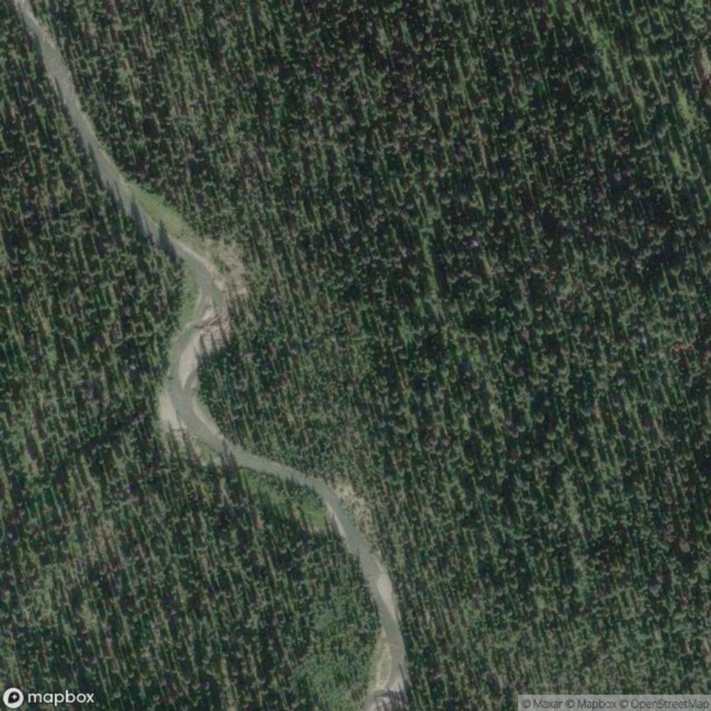
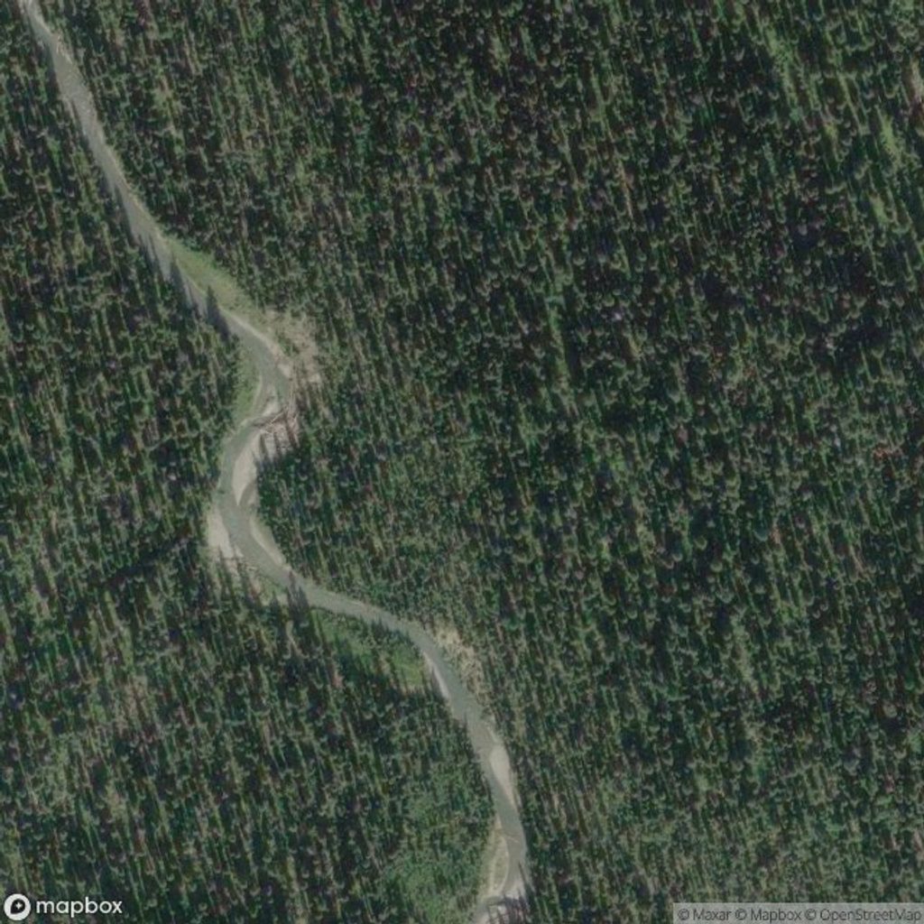
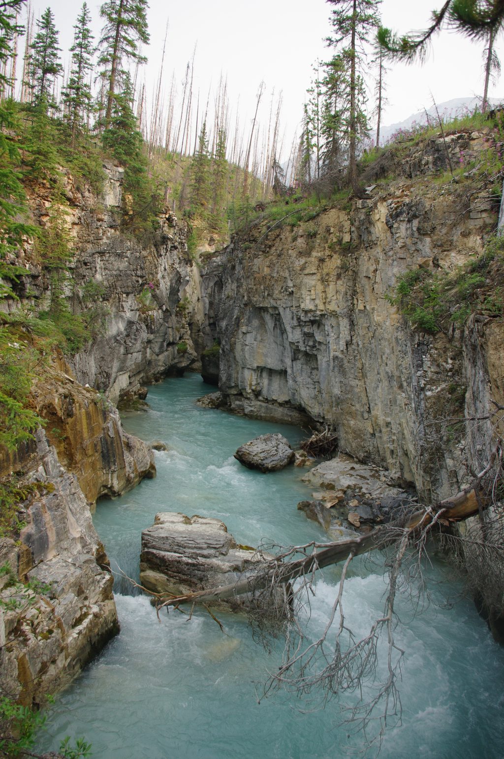
Tumbling Creek is the glacial outflow beneath the Rockwall—those towering limestone cliffs that define this corner of Kootenay. It’s a natural pause point on the multi‑day Rockwall route, where cold, clear water threads through a U‑shaped valley carved by ice and time.
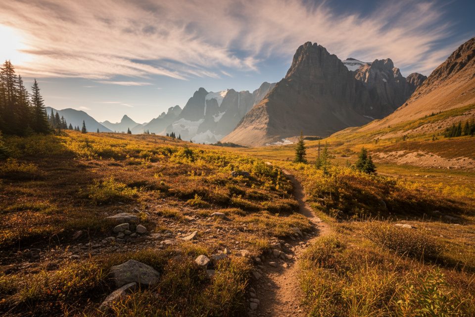
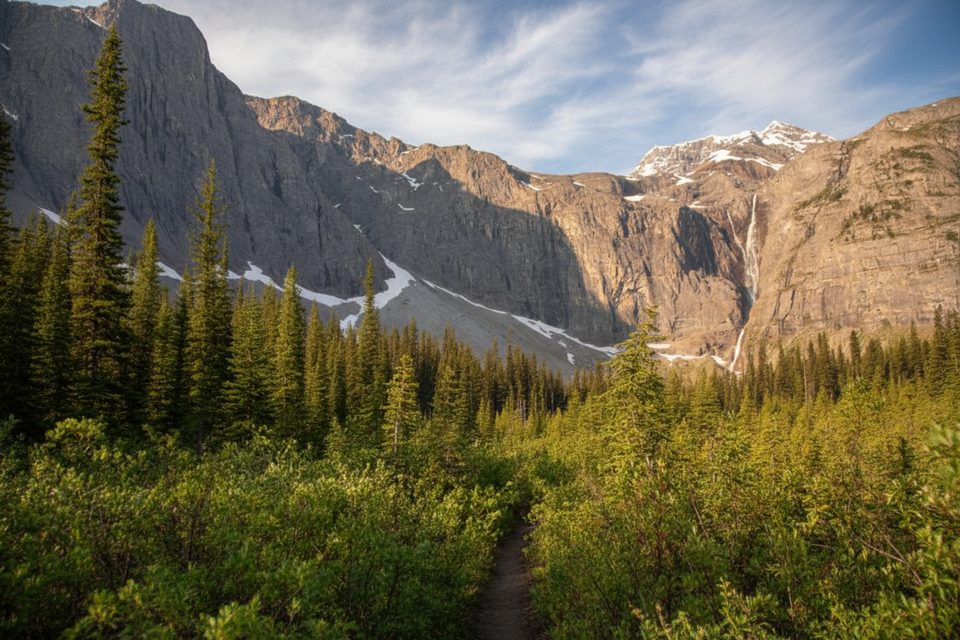
Expect a classic Rockies scene: a milky, glacier‑fed creek, hanging ice above, and a wall of pale Ottertail limestone rising nearly a vertical kilometer. On clear days you can spot the Tumbling Glacier tucked under Tumbling Peak, with alpine meadows and rubble‑strewn moraines telling the story of recent and ancient ice.
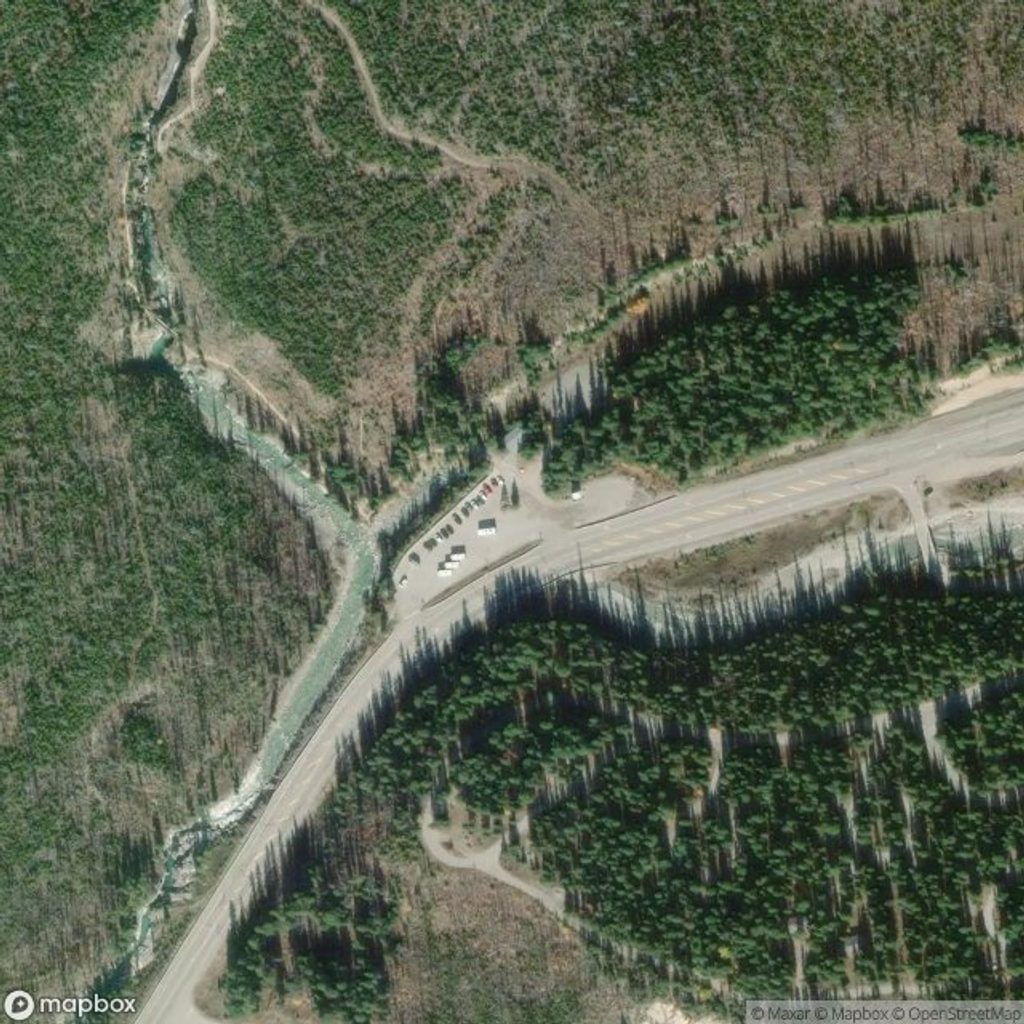
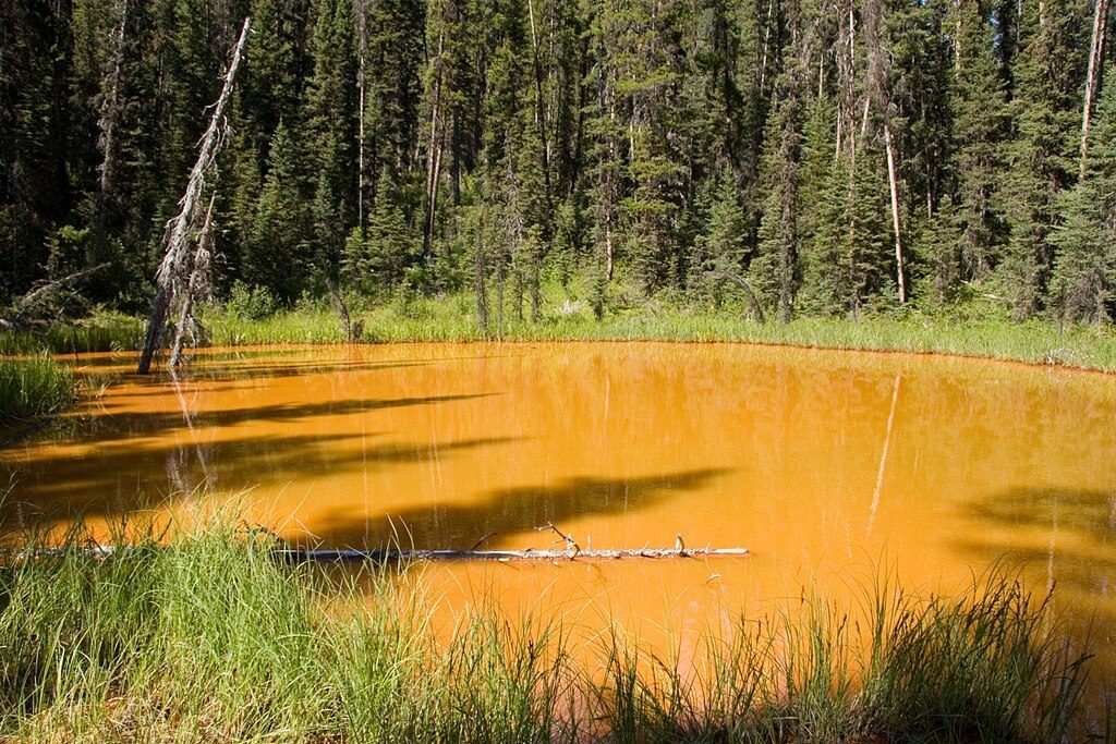
Most hikers reach the creek from the Paint Pots trailhead on Highway 93S: follow the Paint Pots path, continue on the Helmet Trail, then branch toward Tumbling Creek. It’s roughly 10 km one way (about 20 km return). Expect sustained climbing—around 700 m net gain, with close to 1,000 m cumulative if you’re doing the full out‑and‑back. This is backcountry travel; plan like it.
There’s a designated backcountry campground at Tumbling Creek. Random camping isn’t allowed, and permits/reservations are mandatory—and competitive—along the Rockwall corridor. Campfires aren’t permitted. Use provided food lockers/cables where available and store everything scented—food, toiletries, cookware—properly.
Hoary marmots, pikas, ground squirrels, and Clark’s nutcrackers are common companions around the creek and nearby passes. You may spot mountain goats high on the Rockwall and signs of black or grizzly bears. Carry bear spray, keep it handy, and give all wildlife a wide berth.
Early season brings lingering snow on passes and higher, colder creek crossings; even mid‑season the water can be wide and numbing. Storms can take out bridges and leave debris on slopes. Cell coverage is unreliable—carry a satellite communicator or PLB and leave a trip plan with a trusted contact. Treat all surface water before drinking.
Those dramatic cliffs are ancient marine carbonates uplifted and thrust east during the Laramide orogeny. Glaciers—past and present—sculpted the hanging valleys, moraines, and the broad trough the creek follows. It’s a textbook snapshot of Rockies geology without feeling like a classroom.
Aim for mid‑July through September for the most reliable conditions. Weekdays see fewer backpackers than weekends. For photos, morning light paints the Rockwall softly; late afternoon brings contrast on the limestone faces. In shoulder seasons (June or October), expect snow, slick trails, and potentially tricky fords—check current Parks Canada advisories before committing.
Place · 0 mi away
Place · 2.1 mi away
Place · 2.6 mi away
Place · 3.4 mi away
Moderate · 2.1 mi away
Challenging · 2.1 mi away
Easy · 2.1 mi away
Easy · 3.4 mi away

Parkwolf Tour Guide
