
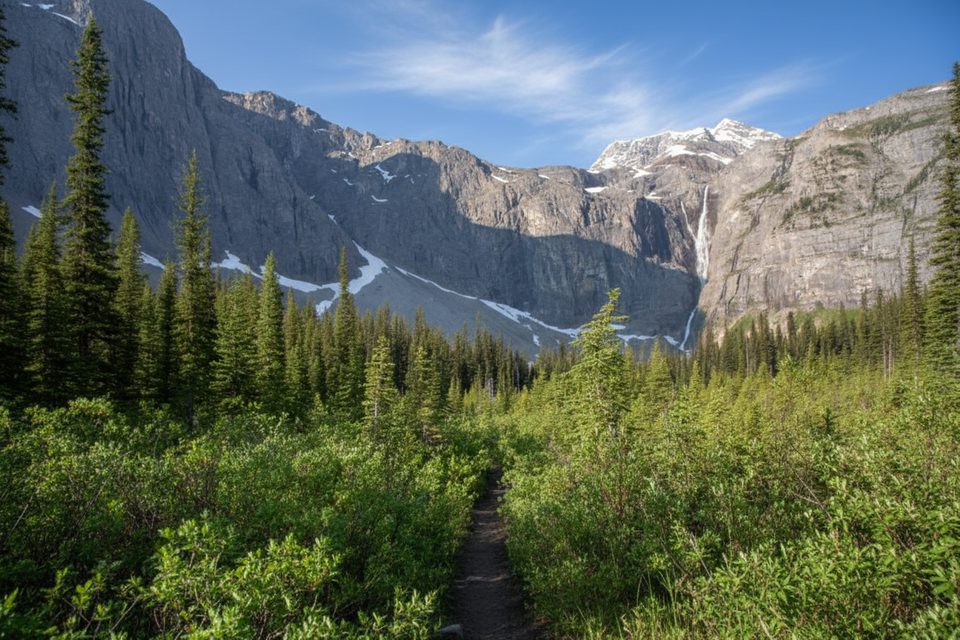
Place · 2.1 mi away
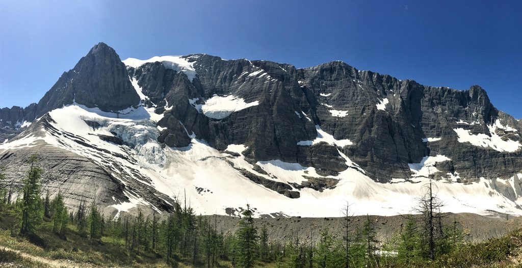
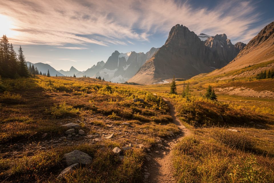
Tumbling Peak rises above the Rockwall—a near‑continuous barricade of steep limestone in the Vermilion Range. Hikers reach its high country on the famed Rockwall Trail, where meadows, moraines, and the shimmering Tumbling Glacier steal the show. Expect big-mountain feel, big elevation, and big payoff.
Most parties link Tumbling Peak’s neighborhood into a north→south traverse from the Painted Pots/Helmet Creek trailhead to the Floe Lake trailhead (about 55 km/34 mi total, with roughly 2,770 m ascent and 2,881 m descent). Many prefer north→south so the bulk of climbing happens in shaded forest and the grand vistas open on the descents. Trailheads on Hwy 93 are 15–20 minutes apart; hikers commonly set up a shuttle or hitch between them. The Floe Lake lot is smaller and can fill early.
From Painted Pots, the trail climbs along Helmet Creek to the amphitheater below Helmet Falls and the nearby campground. Southbound, sustained switchbacks lead to open meadows below Limestone Peak and onward across Rockwall Pass to Tumbling Pass, dropping to Tumbling Creek Campground—or continuing farther toward Numa Creek (note that Numa Creek saw a closure in 2019; always verify current conditions). Views of the wall and Tumbling Glacier dominate this stretch.
Backcountry camping is by reservation at designated sites along the corridor (e.g., Helmet Falls, Tumbling Creek, Numa Creek). Expect tent pads, outhouses, and wildlife‑proof food storage (bear boxes or cables). There are no facilities at the pass or on the peak itself. Campfires are not permitted anywhere in the Kootenay backcountry. Treat all surface water, carry what you need between sources, and plan your itinerary around the sites you can book.
A Parks Canada backcountry permit is required to camp, and a park pass is required for entry. Pets are allowed but must be leashed at all times. Cell coverage is unreliable; carry the right navigation and emergency gear. This is prime wildlife country—carry bear spray and know how to use it, store all attractants in provided lockers/cables, and give wildlife ample space.
The practical season is roughly June through October, but snow can linger at higher elevations and can fall any month. Start early to beat parking pressure at the trailheads, and expect weekends to be busier. Always check current trail conditions, warnings, reservations, and any area closures before committing.
Strong hikers and backpackers who crave wide‑open alpine meadows beneath a dramatic limestone wall, glacier views, and a committing multi‑day traverse will find Tumbling Peak’s surroundings unforgettable. If you want facilities, short walks, or easy logistics, pick a lower‑effort viewpoint instead.
Place · 2.1 mi away
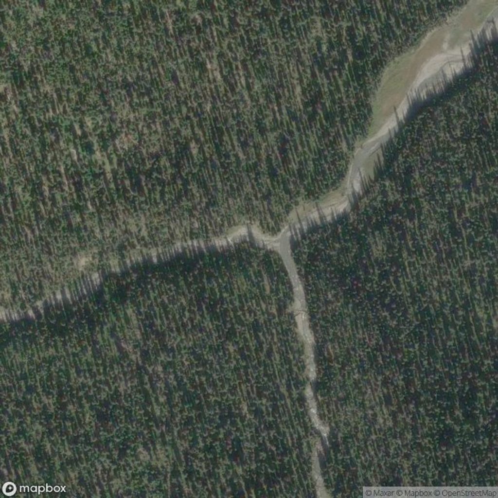
Place · 2.1 mi away
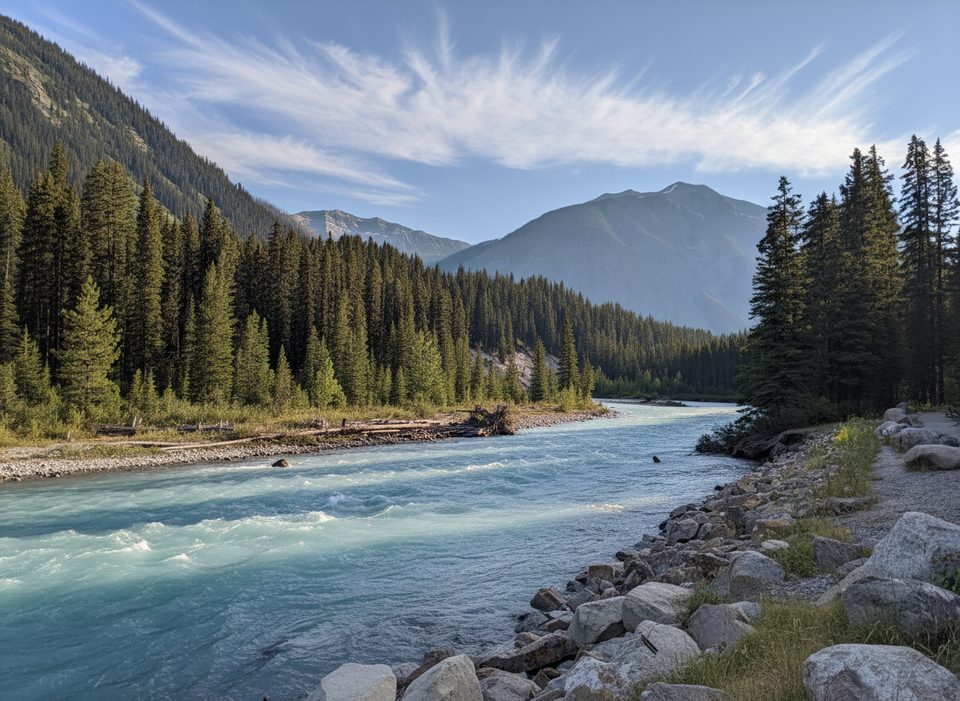
Place · 2.9 mi away
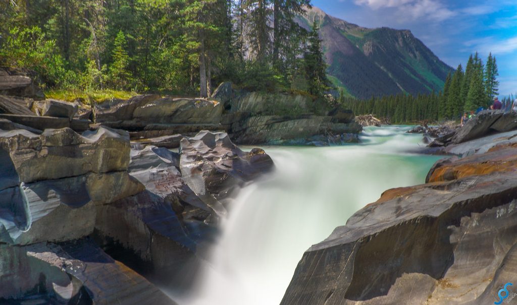
Place · 4.6 mi away
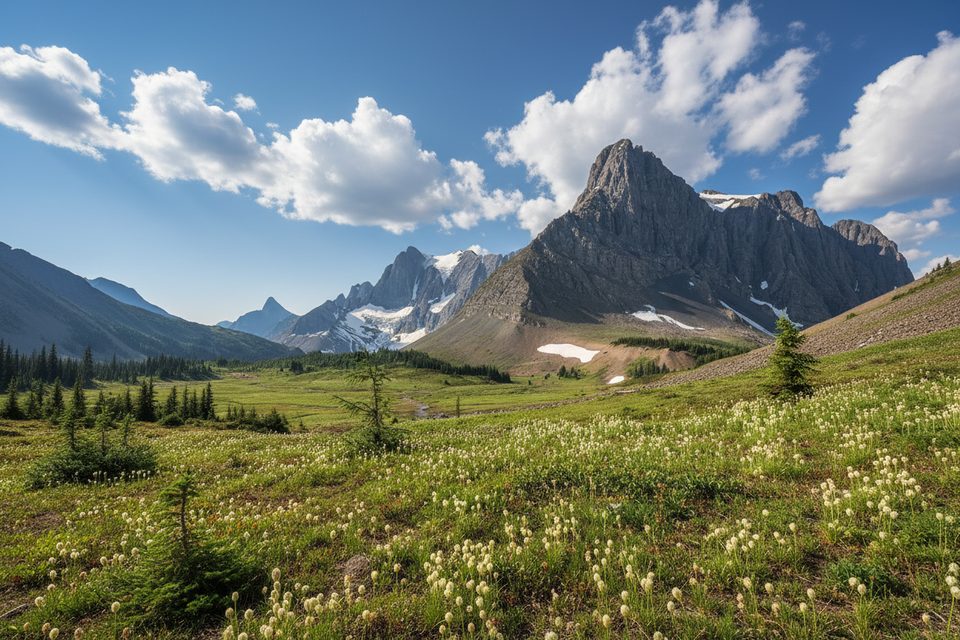
Moderate · 4 mi away
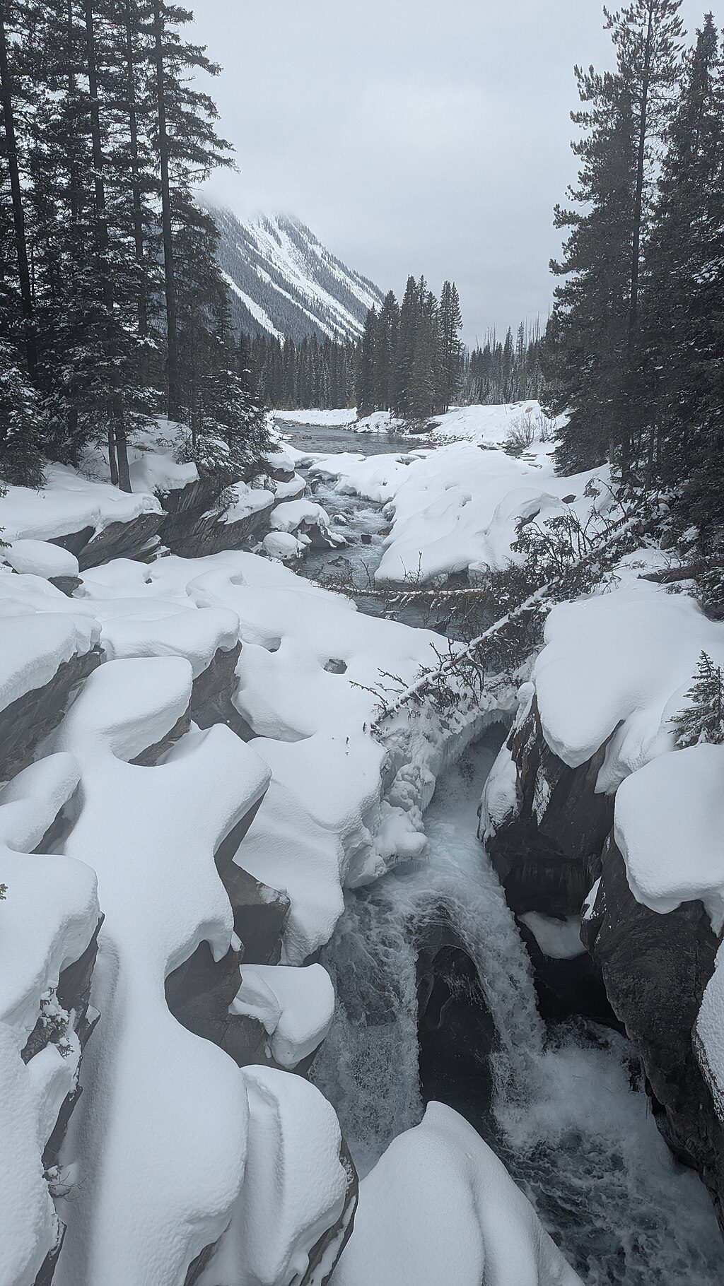
Easy · 4.6 mi away
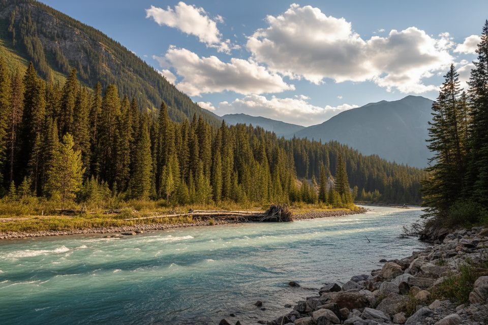
Challenging · 4.6 mi away
Moderate · 5.2 mi away

Parkwolf Tour Guide
