
Place · 0 mi away
Challenging
This is the Rockwall’s southern workhorse: a steady climb from the Numa Falls area up through forest and creek-side flats to Numa Pass—the highest point on the Rockwall—before dropping toward Floe Lake. Stats for the classic over-the-pass variant are about 9.5 km one way (5.9 miles) with roughly +820 m/−320 m, taking 4–4.5 hours one way. It’s tagged moderate to strenuous thanks to sustained switchbacks and elevation, but the payoff is real: big alpine views and a front‑row seat to the Rockwall.
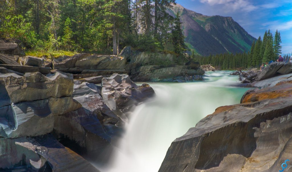
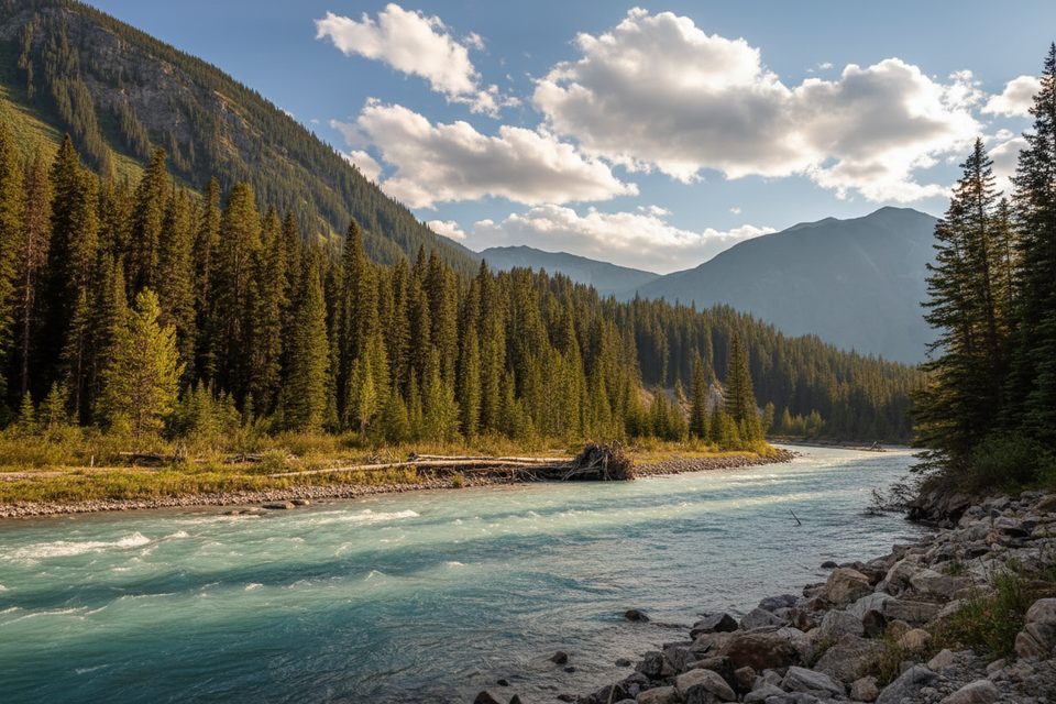
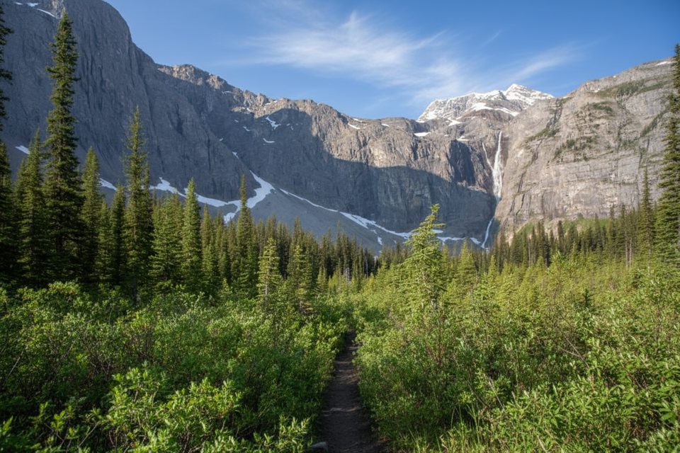
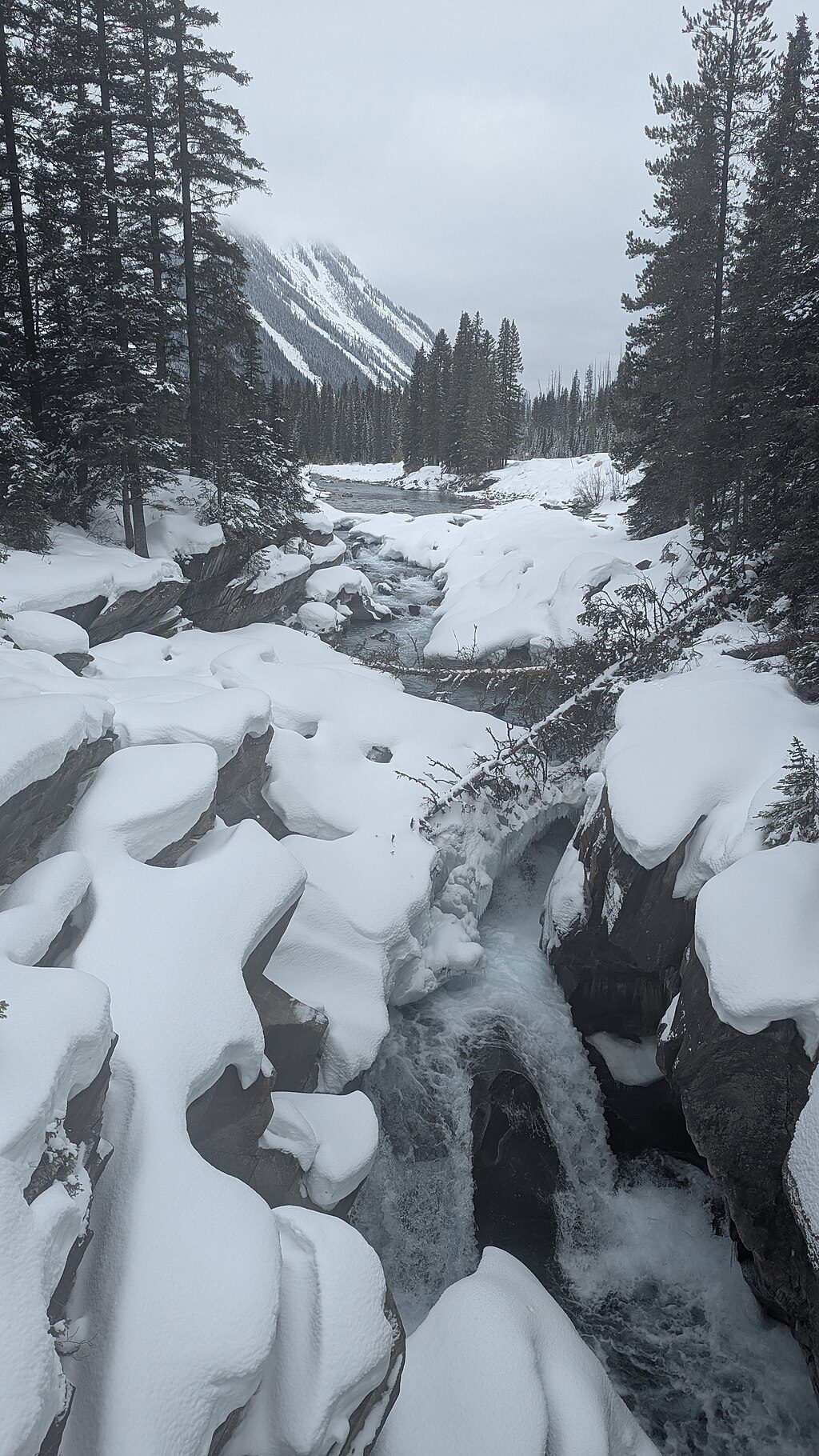
Lower down, you’ll follow Numa Creek through cool forest with the thunder of Numa Falls nearby. As you climb, expect meadows with summer wildflowers and, later in the season, larch‑filled slopes near the pass. Waterfalls—including Foster Peak Falls—and towering limestone cliffs frame the approach to the Floe Lake side. From Numa Pass (~2,340 m), you’ll look across to Floe Peak with sweeping valley views.
Prime hiking runs June–October, with July–August the sweet spot. Early summer often holds snow and avalanche debris near Numa Pass; September is typically drier but can bring early snowfall. As of November 21, 2025, conditions trend full‑winter: snow, ice, unmaintained tread, and avalanche exposure above valley bottom. If you’re not avalanche‑trained and equipped, keep it short near Numa Falls.
Day hikers need a valid park entry; overnighters must reserve designated backcountry campgrounds (Numa Creek, Floe Lake, etc.). Camp only at signed sites (no random camping); no campfires in the backcountry. Treat all water. Store food and scented items in provided wildlife‑proof lockers/cables. Dogs are allowed but must stay leashed. This is true bear country—carry bear spray, make noise, and give wildlife space (30 m for ungulates; 100 m for carnivores). Cell coverage is unreliable; carry a satellite communicator if you have one. In emergencies, call 911 or use a satellite phone to reach mountain dispatch.
Park at the Numa Falls lot directly off BC‑93; cross the bridge by the falls to pick up the Numa Creek Trail.
Winter conditions as of Nov 21, 2025: snow, ice, unmaintained tread, and avalanche exposure above valley bottom—don’t proceed beyond the valley without training and gear. Treat all water, carry bear spray, expect unreliable cell service; overnight trips require reservations and use of designated campgrounds only.
Place · 0 mi away
Place · 2.5 mi away
Place · 2.5 mi away
Place · 2.8 mi away
Easy · 0 mi away
Moderate · 2.8 mi away
Challenging · 2.8 mi away
Easy · 2.8 mi away

Parkwolf Tour Guide
