Pros & cons
PROS
- Minutes‑long stroll from Highway 93S to dramatic viewpoints
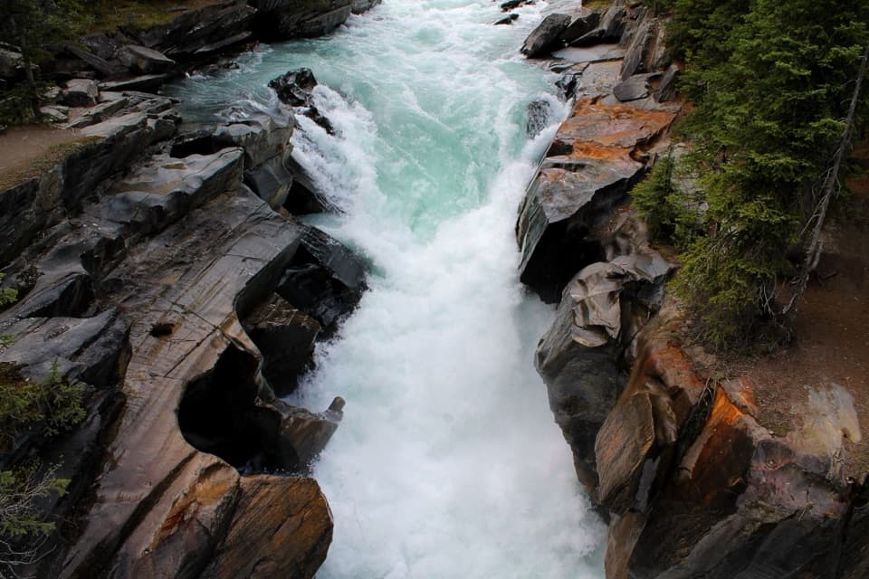
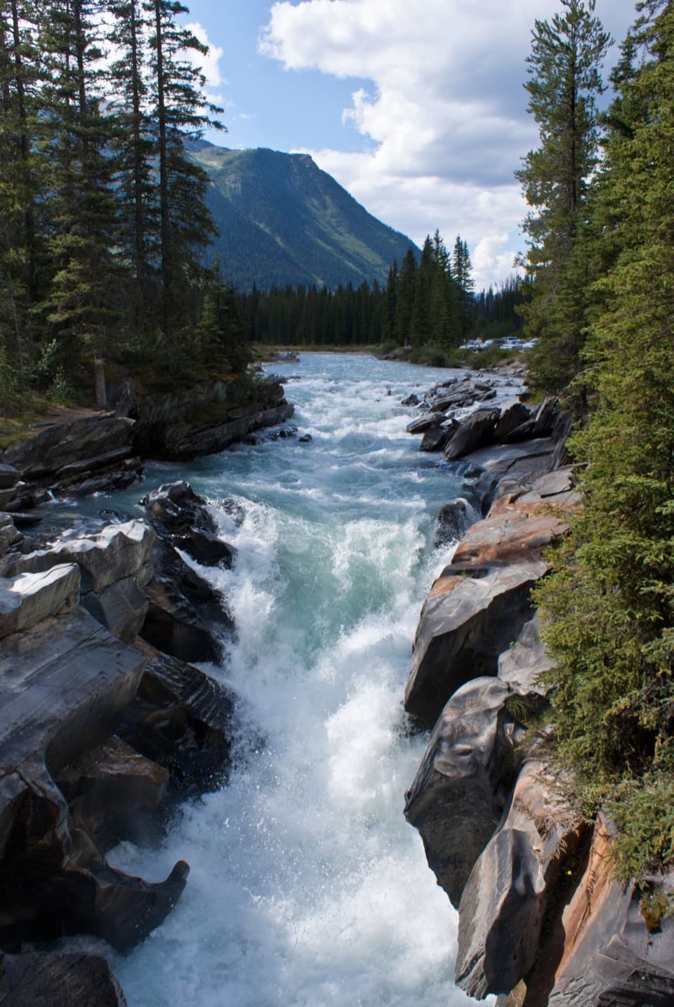
- Footbridge overlooks churning Vermilion River and sculpted rock
- Picnic tables beside the river for an easy scenic break
CONS
- Small parking lot can fill on peak summer afternoons
- No potable water or cell service; basic pit toilets only
Overview
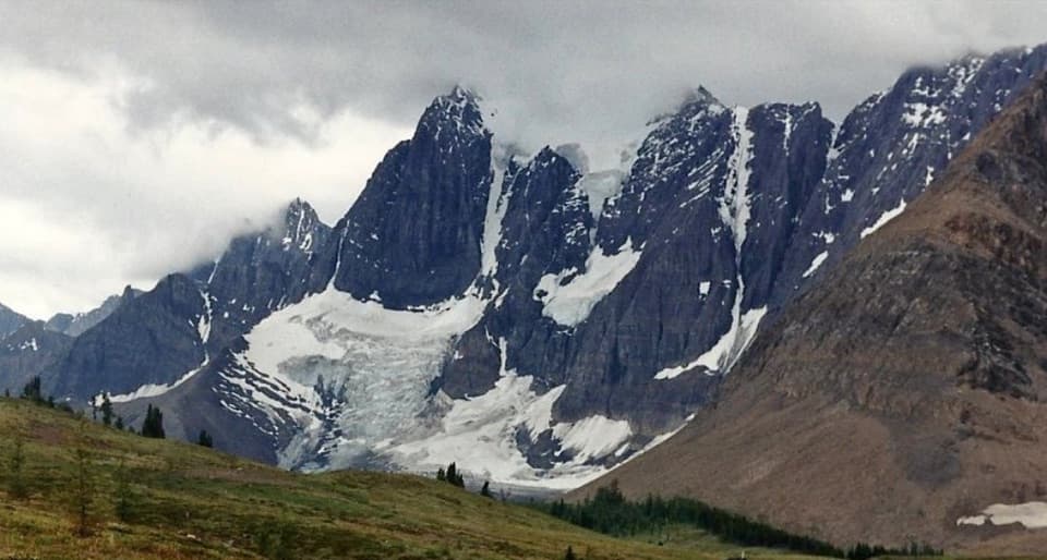
Numa Falls is the definition of a rewarding quick stop: a short, flat stroll from a signed day‑use pullout on Highway 93S brings you to thundering cascades on the Vermilion River. It’s an easy add to any drive between Banff/Lake Louise and Radium, and a nice leg‑stretch if you’re bound for the Rockwall backcountry.
What You’ll See
Expect frothing turquoise water squeezing through sculpted bedrock, with potholes and smooth, swirled banding carved by eddying currents. A pedestrian bridge gives you safe, close‑up angles straight into the churn, and the spray can throw occasional rainbows on sunny days.
Amenities and Setup
There’s a small parking area right off the highway, a very short, easy path to the viewpoints, picnic tables by the river, and pit toilets in the lot (stocked with toilet paper and hand sanitizer, cleaned daily in season). Services are otherwise basic—no potable water, no Wi‑Fi, and generally no cell coverage.
Seasonality and Conditions
Roadside day‑use areas and most restrooms are generally open May to mid‑October; some sites remain accessible in winter, but lots and paths may not be plowed after snowfall. The main hiking window in this part of the park is June–October; higher routes can hold snow until late June, and September is often drier but colder with increasing risk of early snow.
Safety and Wildlife
Mountain weather flips quickly—bring layers and rain protection even for a short stop. Wildlife is common: carry bear spray, keep pets leashed, make noise, and maintain safe distances (about 100 m from bears/carnivores; 30 m from elk/deer). Stay behind railings and off slick rock near the falls. For emergencies call 911; Parks Canada Dispatch (non‑emergency reporting) 403‑762‑1470; satellite phone emergency 403‑762‑4506. Coverage is spotty, though there are emergency phones at select Highway 93S day‑use areas (e.g., Marble Canyon, Simpson River, Kootenay Crossing, Kootenay River).
Backcountry Tie‑ins
This roadside stop sits near key Rockwall access points (Numa Creek and Floe Lake). If you’re heading beyond the falls, book backcountry campgrounds in advance, travel with a permit, use food lockers/bear cables, skip campfires, and pack out all waste.
Best Time to Visit
Aim for mornings or early afternoons to beat the small‑lot crunch on busy summer days. June–October is the sweet spot for straightforward access. Shoulder‑season visits are quieter but bring colder temps and the possibility of snow. Photographers will appreciate the varied bridge angles; spray sometimes adds rainbow flair.
Where it is
51.1331, -116.1330Tips for Numa Falls
- 01Arrive early on summer days—the small lot fills quickly.
- 02Download maps and info before you enter; coverage is unreliable.
- 03Bring your own drinking water; only pit toilets are provided.
- 04Stay behind railings—wet rock near the falls is slick and hazardous.
- 05If venturing onto Rockwall routes, secure permits and check bulletins first.
Amenities
Near Numa Falls
All places →All trails →
0 mi awayNuma Falls TrailTiny walk to a thunderous waterfall with a bridge-top viewEasy · 0.4 mi · 45 min
0 mi awayNuma Creek TrailClimb to the Rockwall’s high point, then descend toward Floe Lake.Challenging · 5.9 mi · 4.5 hr
2.5 mi awayTumbling Creek FallsRemote waterfall stop on the Rockwall beneath sheer limestone wallsTrailhead · Parking
2.5 mi awayTumbling Creek Backcountry CampgroundWell-equipped Rockwall stop with creek water and bear lockersCampground · Restroom
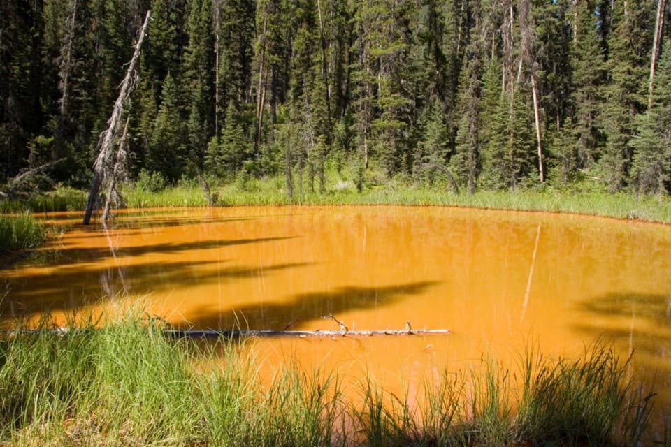
2.8 mi awayPaint PotsShort walk to vivid ochre springs and rust-colored poolsTrailhead · Parking
2.8 mi awayHelmet/Tumbling TrailAlpine pass between Helmet Falls and Tumbling Creek with big viewsModerate · 8.1 mi · 5.5 hr
2.8 mi awayTumbling Creek TrailRockwall approach beside roaring water to a quiet backcountry campChallenging · 12.5 mi · 8 hr
2.8 mi awayTumbling NE5Rockwall backcountry camp with pads, food storage and big viewsCampground · Restroom