
Place · 0 mi away
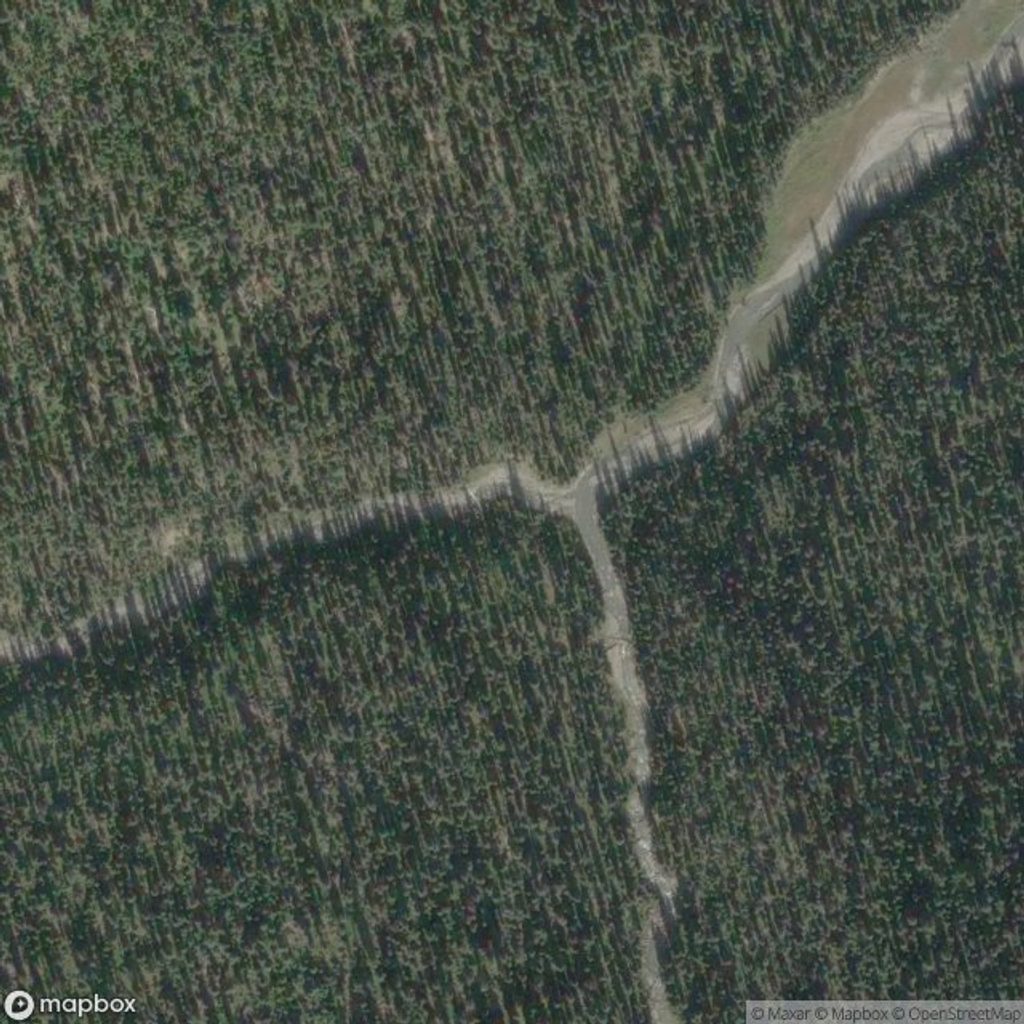
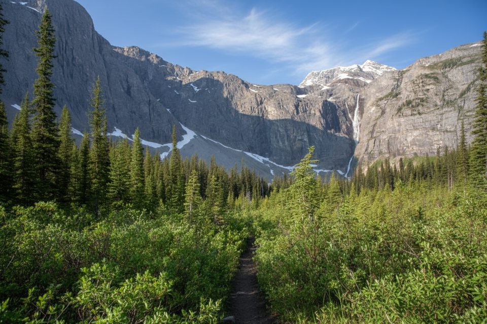
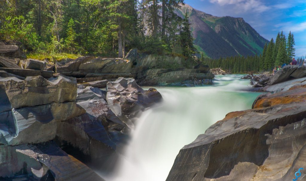
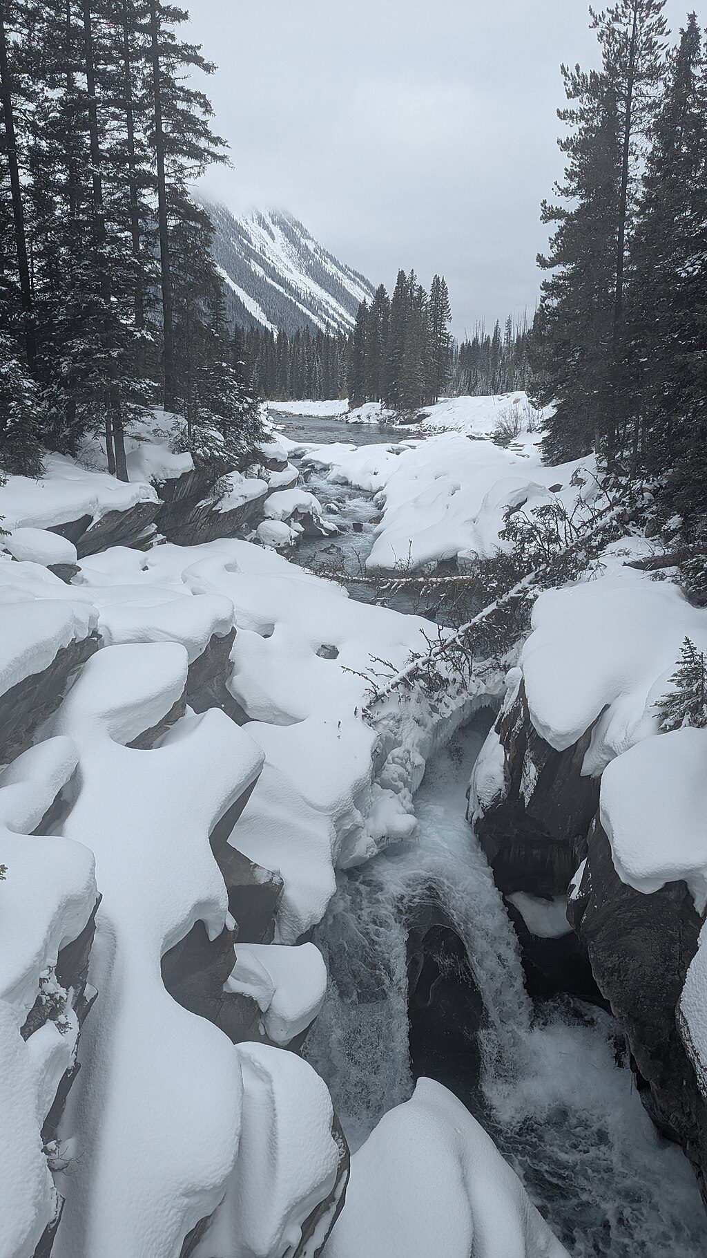
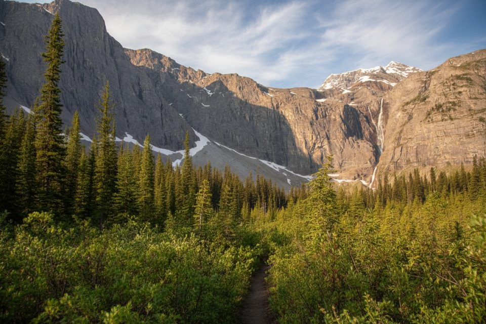
Tumbling Creek Falls sits along the Rockwall corridor, a wild corner of Kootenay defined by sheer limestone cliffs and glacially fed, rock‑flour white water. It’s a rewarding objective for strong day hikers and a classic stop for backpackers, with the creek and falls backed by the dramatic wall of Ottertail limestone.
Most hikers start at the Paint Pots trailhead off Highway 93, pass the ochre springs, follow Helmet Trail, then turn onto the Tumbling Creek Trail toward the falls and the adjacent campground. Expect forested singletrack, steady climbing, and classic Rockwall vistas—glaciers, moraines, and broad meadows. In summer, the path is dotted with wildflowers; by September, larches glow gold. If you continue deeper into the corridor, high passes deliver sweeping views, and the white water of Tumbling Creek is a constant companion near the destination.
Distance and effort are substantial: it’s roughly 10 km one way to the Tumbling Creek area from Paint Pots, and a full out‑and‑back day commonly takes 7.5–8 hours. Elevation gain is significant and sustained.
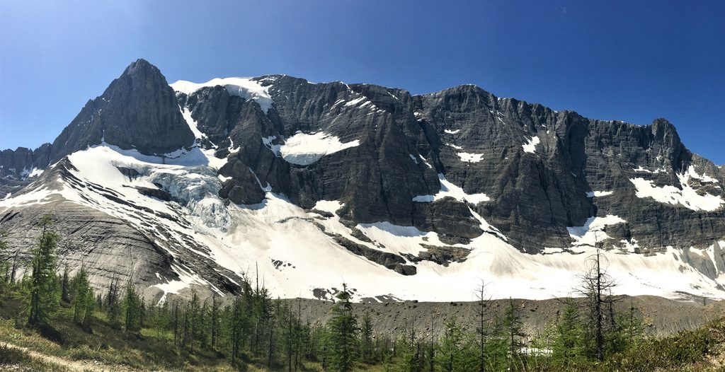
The “Rockwall” is a towering band of Ottertail limestone, laid down when this region was a shallow sea about 500 million years ago. Glaciers and their moraines still shape the landscape—and lend Tumbling Creek its pale, milky color.
Marmots often haunt the rocky moraines near the high country. This is prime carnivore habitat too—carry bear spray, make noise in brushy sections, and give all wildlife ample space.
Tumbling Creek Campground serves the area with designated tent pads, outhouses, wildlife‑proof food storage (lockers or cables), and picnic tables. Water is drawn from the creek and must be treated.
A backcountry permit is required for overnight trips, and random camping isn’t allowed. Campfires are prohibited in the backcountry; cook on a fuel stove. Store all food and scented items in the provided lockers/cables. Pets must be leashed, drones are prohibited, and cell coverage is unreliable. Treat or boil all surface water. In summer, avoid traveling over snow bridges.
The main hiking window runs June–October. Snow can linger into summer, and even late July may hold patches near higher passes. July and August are prime for backpacking; September is cooler and often drier, with the bonus of golden larches.
Aim for July–September for the most reliable footing. Start early from the Paint Pots trailhead to bank daylight and cooler temps, and go on weekdays to sidestep crowding at the trailhead. September brings great color and fewer people, but cooler nights—plan accordingly.
Place · 0 mi away
Place · 2.1 mi away
Place · 2.2 mi away
Place · 2.5 mi away
Easy · 2.5 mi away
Challenging · 2.5 mi away
Moderate · 4.1 mi away
Challenging · 4.1 mi away

Parkwolf Tour Guide
