
Place · 0 mi away
Easy
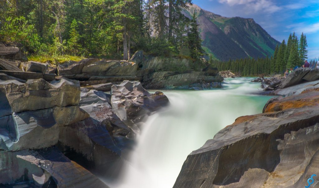
This is a true stretch‑your‑legs stop: a 0.4‑mile total out‑and‑back with roughly 16 feet of elevation gain. In 30–60 minutes you can wander from the parking area to a sturdy bridge perched right over Numa Falls for close, roaring views of blue water slicing through dark rock. It’s beautiful, effortless, and understandably popular—expect company.
The path leads directly to the bridge above the Vermilion River, where the falls squeeze through polished, black bedrock. It’s all about the sensory hit here—mist, rumble, and big photo potential from the railings without needing to scramble.
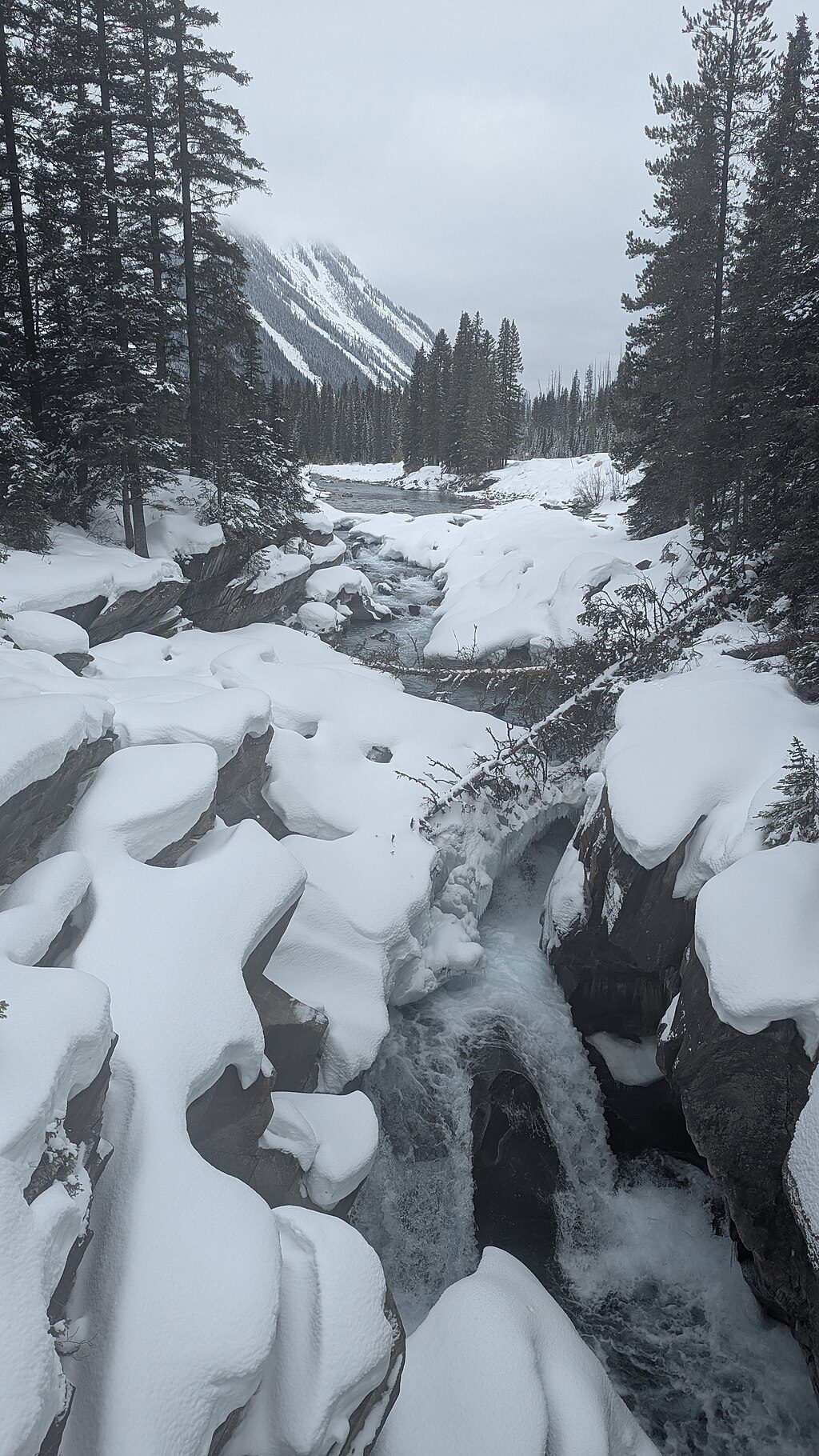
July through September is the easiest window for snow‑free footing. Shoulder season and winter often bring ice and packed snow; maintenance is limited then, so traction (microspikes) is smart. Midday is the busiest; come early or late for calmer viewing and softer light. In winter, access depends on Highway 93S and whether the lot has been plowed—confirm conditions the day of your visit.
Surfaces near the water can be slick even in summer; stay behind railings. If you want more than a viewpoint, the route beyond the falls continues up Numa Creek toward the Rockwall—serious backcountry with avalanche exposure in winter conditions and far beyond the scope of this quick stop.
You’re in prime wildlife country. Carry bear spray and keep it accessible, make noise, and give animals space—about 100 m from bears and other carnivores, 30 m from elk, deer, and moose. Mountain weather changes fast; snow can fall any month. Cell coverage is unreliable; let someone know your plan and pack the basics (first aid, headlamp, extra layers). Keep pets leashed, drones and firearms are prohibited, and pack out all trash.
Park at the signed Numa Falls Picnic Area on Highway 93S; a short path leads from the lot to the bridge over the Vermilion River. In winter, access depends on plowing and road conditions.
Weather shifts fast; snow and ice are possible any month. Expect slick rock and bridge surfaces—use traction in winter and stay behind railings. Carry bear spray, make noise, and keep proper distances from wildlife (100 m from bears, 30 m from elk, deer, and moose). Continuing past the viewpoint toward Numa Creek/Rockwall enters avalanche terrain requiring appropriate skills and gear.
Place · 0 mi away
Place · 2.5 mi away
Place · 2.5 mi away
Place · 2.8 mi away
Challenging · 0 mi away
Moderate · 2.8 mi away
Challenging · 2.8 mi away
Easy · 2.8 mi away

Parkwolf Tour Guide
