Pafuri Bridge in Kruger National Park

Sight · Kruger National Park

Pafuri Bridge

Quick Luvuvhu River viewpoint from your vehicle in the far north

Type
Sight
Audio stories
3 nearby

Hear the audio tour

Pafuri Region and the Fever Tree Forest

Overview

About Pafuri Bridge

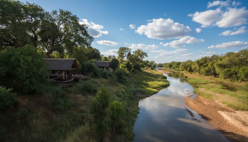
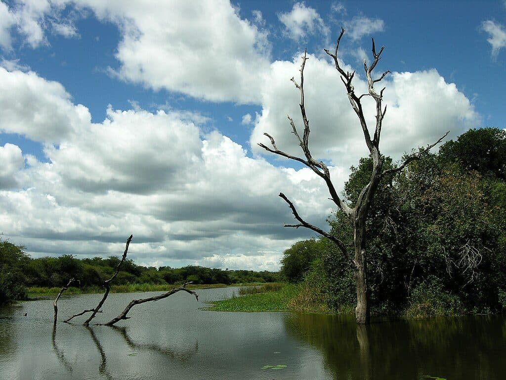
Pafuri Bridge is a brief but worthwhile pause in the far north, where the road crosses the Luvuvhu River. Think of it as a rolling viewpoint: you’re here for a quick look at the river and its birdlife from your vehicle, then move on.

Why stop

  • Quick Luvuvhu River vantage from your vehicle
  • Often productive for birding along the riverine corridor

Heads up

  • No facilities or formal parking; remain in your vehicle
  • Long way from full-service amenities
As a stand-alone stop, the bridge is a quick, no-frills peek. As part of a northern loop focused on scenery and birds, it earns its keep—brief, beautiful, and best when folded into a morning exploring the rivers and picnic site.
Parkwolf’s verdictIs It Worth It?

Map

Where it is

Loading the Kruger map
Full map
SightPafuri Bridge-22.42265, 31.21915
Keep this map with you offline in the Parkwolf app

Local know-how

Tips for visiting Pafuri Bridge

  1. Plan restroom and meal stops at Pafuri Picnic Site, not on the bridge.

  2. Stay in your vehicle on the bridge and move on if traffic approaches.

  3. Hit the bridge at dawn for soft light, then breakfast at the picnic site.

  4. Allow plenty of time from Punda Maria; distances and gate hours are strict.

  5. Pair the bridge with Crooks Corner and the fever tree forest for a full morning.

Plan your stop

Before you go

Best time to visit

  • Early morning is best for soft light over the river and cooler temps, especially in the dry winter season.
  • Pair a dawn bridge pass with a relaxed breakfast at Pafuri Picnic Site, then continue toward Crooks Corner or the fever tree forest.
  • Crowds are rarely an issue up here; gate times and the long distances matter more than people.

Nearby Facilities (Where to Actually Stop)

Plan your breaks for the designated picnic sites instead:

For fuel, a restaurant, a shop, and bookings for guided drives, Punda Maria Rest Camp is the closest full-service base.

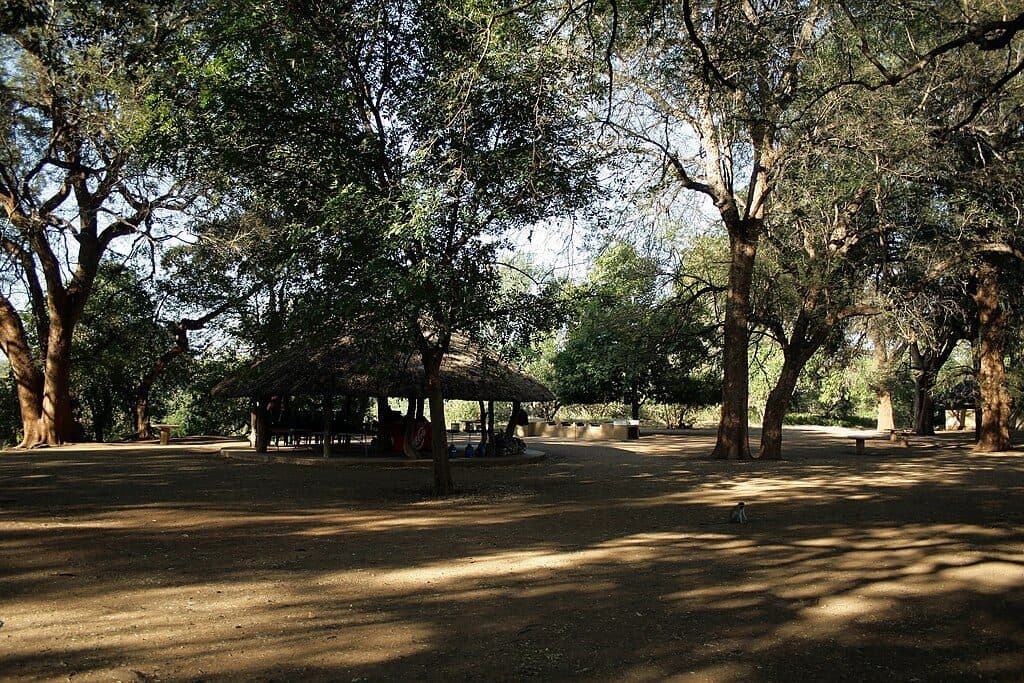
  • Pafuri Picnic Site (closest): ablutions and picnic facilities.
  • Babalala Picnic Site (further south): another official day-visitor stop.
A park ranger sits on a dash-mounted phone, talking, as Parkwolf’s Tour Guide plays “Army Cutworm Moths: A Grizzly Bear Buffet” on Grand Loop Road below Dunraven Pass in Yellowstone
Parkwolf Tour GuideThe highest, rockiest slopes around here are a summer buffet for grizzly bears.

Kruger Tour Guide

Your drive to Pafuri Bridge, narrated.

Parkwolf is a GPS audio tour guide for Kruger National Park. As you drive, it chimes in with what’s ahead: hidden gems, upcoming stops, history, geology, and wildlife, right through your car’s speakers.

See the Kruger audio tour

Recorded for this place

Pafuri Region and the Fever Tree Forest
Listen
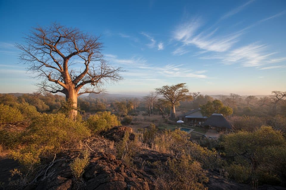
“You're getting into the Pafuri region now, the wild, far northern tip of Kruger. The landscape here is totally different, dominated by giant baobabs and the Luvuvhu River.”

Plays as you drive up to Pafuri Bridge in the Parkwolf Kruger Tour Guide.

More stories near here in the app

  • Pafuri Camp: A Private Wilderness Lodge
  • Thulamela: The Ancient Stone City
  • Crooks’ Corner: A Frontier Hideout
  • Pafuri’s Tropical Bird Specials
  • 202 audio storiesacross Kruger’s roads, triggered by GPS as you drive
  • Wildlife heatmapsfor Lion, Leopard, Elephant, and 13 more
  • Works offlinemaps, 2 trails, 183 places, and audio download before you lose signal
  • CarPlay readysimple controls built for the drive
★★★★★
“Fantastic app with many points of information… It’s great to just turn on while you’re driving and it gives you an audio tour of the national Park. We love it!!!!”
JMJamesApp Store review
Download Parkwolf on the App StoreGet Parkwolf on Google Play

4.7 from 8,600+ ratings

Guide

More about Pafuri Bridge

What to ExpectThere are no restrooms, shops, or formal parking bays on the bridge, and you may not get out.

There are no restrooms, shops, or formal parking bays on the bridge, and you may not get out. Use it as a slow, careful stop-and-roll peek over the water and surrounding riverine forest before continuing your loop.

Wildlife and BirdingThis stretch of the Luvuvhu is famed for birding.

This stretch of the Luvuvhu is famed for birding. Keep an eye out for specials associated with the far north and expect nyala and other riverine regulars along the banks. It’s not about big-game density here so much as the mix of habitats and the chance of quality, atmospheric sightings.

Practicalities and RoutingDay visitors should only alight at designated picnic sites—stay in your vehicle on the bridge.
  • Day visitors should only alight at designated picnic sites—stay in your vehicle on the bridge.
  • It’s roughly 70 km from Punda Maria to the Pafuri area; allow ample time within speed limits to make gate and camp closing times.
  • A simple loop: Pafuri Gate/approach roads → slow roll across Pafuri Bridge → Crooks Corner → Pafuri Picnic Site for ablutions and brunch → meander the riverine roads back south.

Wildlife

Wildlife in Kruger

All Kruger wildlife maps

Sighting maps show where each species has been reported across Kruger. Wildlife moves, so no sighting is guaranteed.

Parkwolf’s Kruger ranking

Top sights in Kruger

All 183 places
  1. 1Lake Panic Bird HideSight
  2. 2Pafuri Fever Tree ForestSight
  3. 3Sunset DamScenic pullout
  4. 4Talamati Floodlit WaterholeSight
  5. 5Satara Floodlit WaterholeSight
  6. 6Elephant Hall of FameSight

Take Parkwolf to Kruger.

The audio tour guide for the drive, plus offline maps, trails, and wildlife heatmaps for when the signal drops.

4.7 from 8,600+ ratings

Download Parkwolf on the App StoreGet Parkwolf on Google Play