
Place · 9.9 mi away
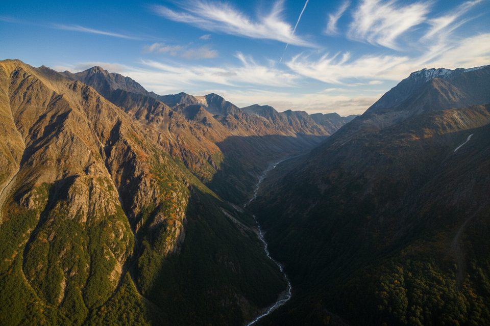
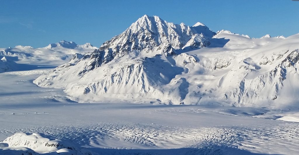
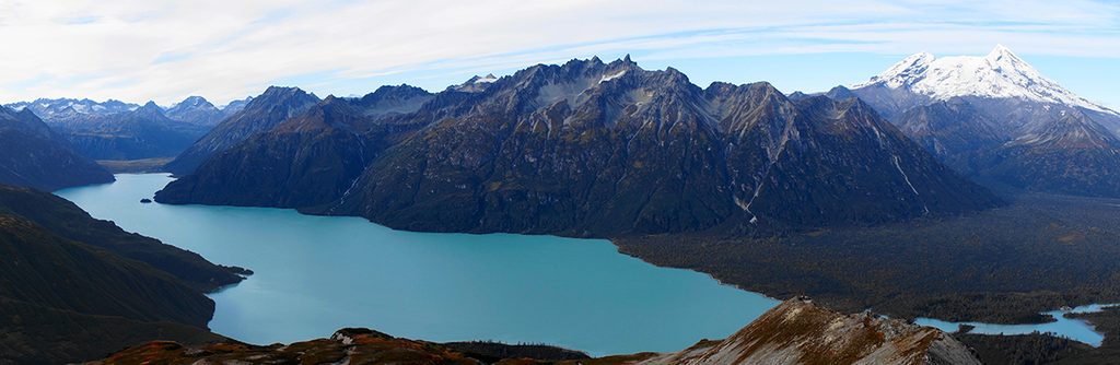
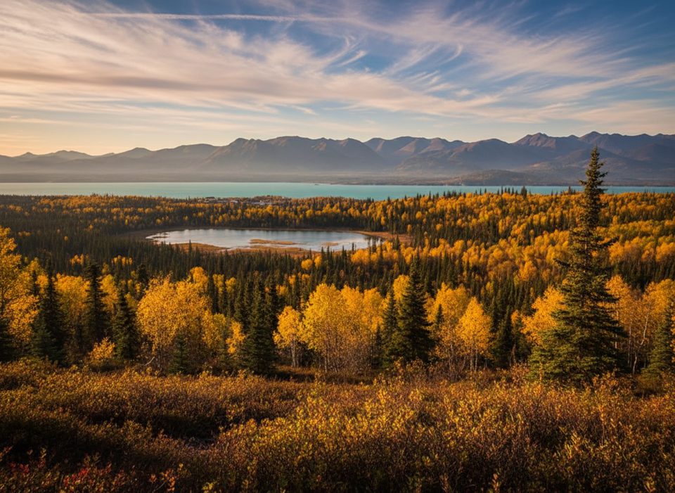
Lake Clark Pass is a remote mountain corridor best appreciated from the air. Think sweeping glaciers, U-shaped valleys, and sheer peaks—classic Aleutian Range drama concentrated into one flight route. There’s no road, no trailhead, no restrooms—just raw Alaska. Most visitors experience the pass while flying between Anchorage and Port Alsworth.
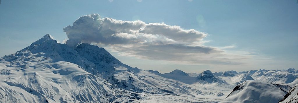
From the plane you’ll trace glacially carved valleys, waterfalls, and ice-draped ridgelines. On clear days, the skyline hints at the region’s active geologic heart: this park sits along the Pacific Ring of Fire, where uplift, earthquakes, and volcanism continuously reshape the landscape.
This pass exists because ice did serious work here. Pleistocene glaciers gouged broad U-shaped valleys and left moraines and outwash that define today’s terrain. Adding to the drama, the Lake Clark Fault runs beneath Lake Clark and the pass area—part of a tectonically active setting that includes nearby stratovolcanoes in the Aleutian arc.
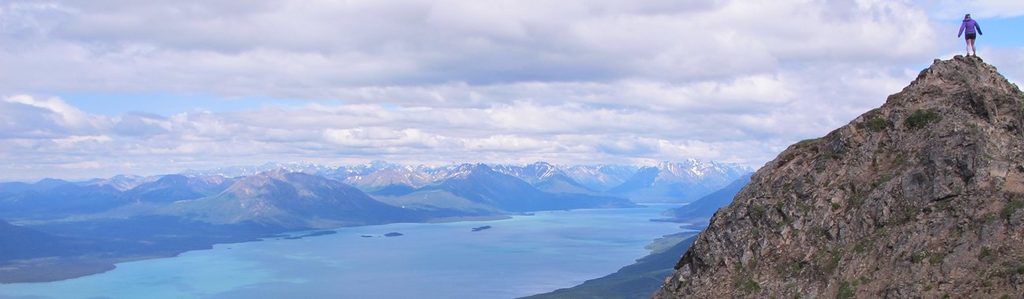
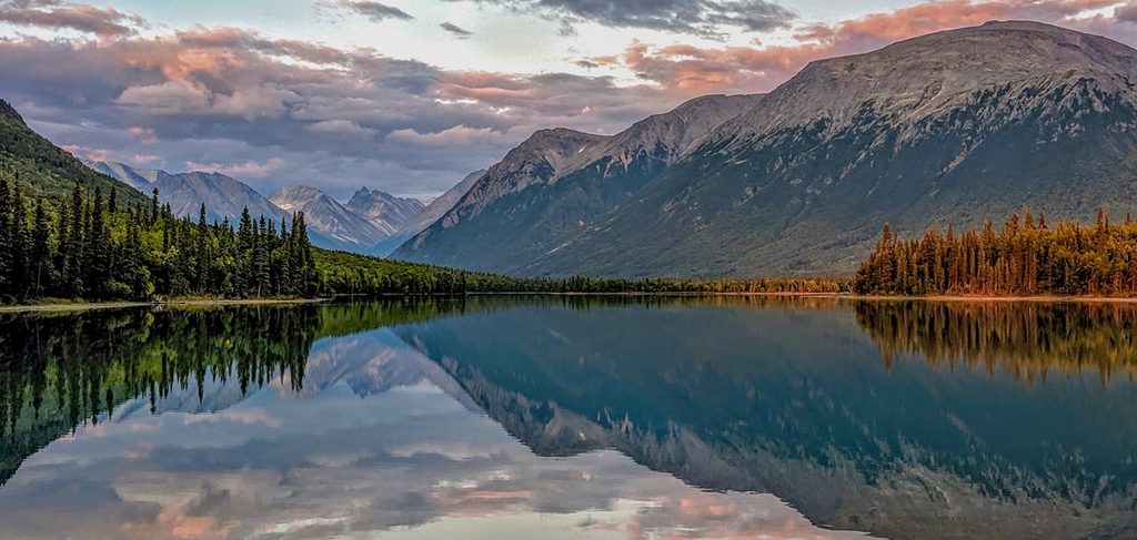
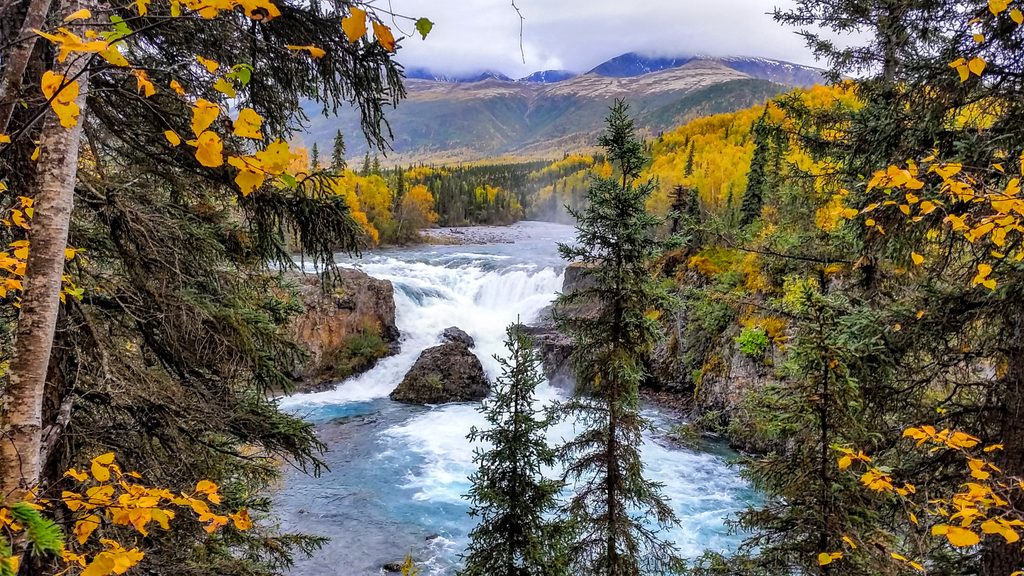
There is no maintained “Lake Clark Pass Trail.” Outside of two maintained systems (the Tanalian Trails near Port Alsworth and the Portage Creek Trail), travel in this park is off-trail—brushy, wet, and demanding. If you want ground-based vistas instead of a flyover, stage hikes from Port Alsworth: Tanalian Mountain for big panoramas, or Tanalian Falls/Kontrashibuna Lake and Portage Creek for classic scenery without cross-country suffering.
Weather rules here. If you’re flying or boating into remote areas, build buffer time—conditions can force unplanned overnights. The entire park is bear country; proper food storage is required in many areas. Bear-resistant containers are available to borrow from the Port Alsworth visitor center. Know how to travel and camp safely in bear habitat before you go.
Good news: there’s no entrance fee and no NPS permit required for typical backcountry activities like camping or backpacking. Public use cabins and commercial services, if you opt for them, have their own fees.
Whenever the weather cooperates. Clear, calm days make the pass shine from the air. Check in with the Port Alsworth visitor center for current conditions, and keep your schedule flexible to ride the best weather window.
Place · 9.9 mi away
Place · 22.9 mi away
Place · 22.9 mi away
Place · 31.8 mi away
Challenging · 69.1 mi away
Moderate · 69.1 mi away
Easy · 69.1 mi away
Easy · 69.1 mi away

Parkwolf Tour Guide
