Parking
Begin at the Smith Street trailhead in Lake George Village (75 Smith Street). A small public lot serves the start; nearby village parking can be limited or seasonal. The highway summit lot is a separate access point.

#5 of 67 trails in Lake George
Lake George NY, NY
A steep village climb opens onto Lake George’s big summit panorama.
Overview
Prospect Mountain Trail is the steep out-and-back from Smith Street in Lake George Village to Prospect Mountain’s summit. The recorded route is 3.0 miles round trip, about 1.5 miles each way, with roughly 1,600 feet of climbing to the 2,030-foot summit. Allow about three hours with a stop at the top. This is a short, demanding climb rather than an easy viewpoint walk; go for the forested ascent and broad Lake George panorama, and expect to work for it. Published measurements range from about 1.5 to 1.7 miles uphill, so the distance here follows the shorter, detailed measurement and the complete mapped trail approach.
 Parkwolf’s verdictIs this the hike for you?
Map & elevation
Plan your hike

The highest, rockiest slopes around here are a summer buffet for grizzly bears.
Lake George Tour Guide
Parkwolf is a GPS audio tour guide for Lake George NY. As you drive, it chimes in with what’s ahead: hidden gems, upcoming stops, history, geology, and wildlife, right through your car’s speakers.
See the Lake George audio tourRecorded for this trailhead
Prospect Mountain from Smith Street“Prospect Mountain's Smith Street trailhead is coming up, for a proper uphill hike to the lake panorama. Allow about three hours for the three-mile round trip, with roughly sixteen hundred feet of climbing.”
Plays as you drive up to this trailhead in the Parkwolf Lake George Tour Guide.
More stories near here in the app
“Fantastic app with many points of information… It’s great to just turn on while you’re driving and it gives you an audio tour of the national Park. We love it!!!!”


Trail guide
From 75 Smith Street, stairs lead up to an enclosed, elevated footbridge over I-87. That dramatic crossing is part of the walk and a real decision point: some hikers find the height and traffic below unsettling. Cross on the footway, then pick up the red-marked trail on the far side. Reports about loose grating are anecdotal; they do not establish a current bridge defect.
Beyond the bridge, the trail climbs steeply on a narrow, rocky dirt tread. Follow the red blazes through the woods; the grade stays serious for much of the way. Some rocky stretches follow the line of Prospect’s former cable railway. The uneven rock takes more attention on the way down, when smooth slabs can feel slippery. Near the summit, the foot route crosses the Veterans Memorial Highway once more before continuing toward the viewing area, so look for the trail markers after the road.
The summit opens onto a wide panorama with Lake George below and ridges of the Adirondacks, Green Mountains and White Mountains on the horizon on a clear day. Take time to look along the shoreline and across the islands before turning back. For a photo, include a little foreground rock or treetop with the lake and ridge line; it gives the view some scale. The Narrows, Lake George and Eagle’s Nest overlooks are separate stops on the highway, not part of this hiking route.
Prospect Mountain House opened at the summit in 1877, and a cable railway followed in 1895 to carry visitors up to the hotel. The railway was dismantled during World War I, and stonework and other traces around the summit recall the resort era. It is a neat contrast with the climb you have just made on foot: the mountain’s big view has drawn visitors for generations, but the route to it has changed.
Start at the Smith Street trailhead in Lake George Village. A small public lot serves the access; nearby village parking can be limited or seasonal. There is no documented water source along the climb, so bring what you need. Picnic tables and restrooms belong to the separate highway day-use area, not to facilities along the wooded trail. If you only want the summit, the highway has a separate 0.2-mile one-way spur with about 155 feet of climbing; it is a different road-access visit and skips the village trail.
The pet rule for the complete Smith Street route is not clear. New York DEC prohibits pets in its summit day-use area, while local trail information describes the hike as pet-friendly. Check with DEC before bringing a dog; do not assume the forest section’s rule also applies at the summit.
Wildlife
 34 sightingsWhite-tailed DeerMost seen around 5 PMSighting map
 26 sightingsTimber RattlesnakeMost seen around 6 PMSighting map
 22 sightingsOspreyMost seen around 7 AMSighting map
 60 sightingsLoonMost seen around 6 AMSighting map
 33 sightingsPorcupineMost seen around 7 PMSighting map
 84 sightingsGreat Blue HeronMost seen around 6 AMSighting map
Sighting maps show where each species has been reported across Lake George. Wildlife moves, so no sighting is guaranteed.
Keep exploring
 ModerateWarren County Bikeway9.4 mi · 3.2 hr · 0.7 mi awayA paved rail route with a bridge, rolling grades, and local history.
 ModerateBerry Pond Scenic Loop5.6 mi · 3.5 hr · 1.8 mi awayRidge views, a beaver pond, and a loop worth navigating carefully
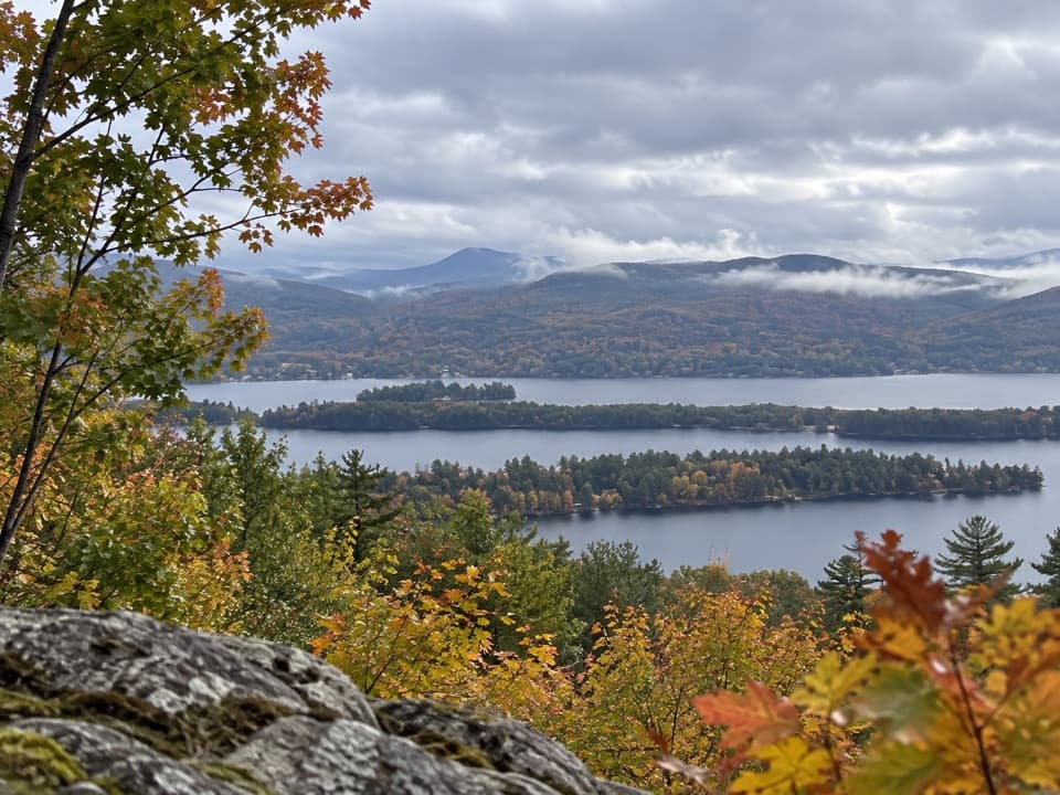 ModerateSchumann Preserve at Pilot Knob Orange Trail to Gazebo1.4 mi · 1 hr · 5.7 mi awayA short, steep climb to a gazebo above Lake George.
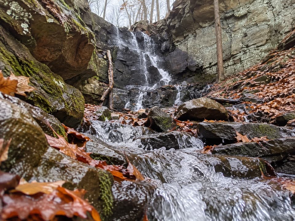 ModerateSchumann Preserve Blue Trail and Waterfall Loop4.2 mi · 2.2 hr · 5.7 mi awayRocky gazebo climb, then a forest loop to seasonal falls.
 ChallengingBuck Mountain Trail from Pilot Knob6.6 mi · 4.5 hr · 7.3 mi awayA long climb, then open rock above the lake.
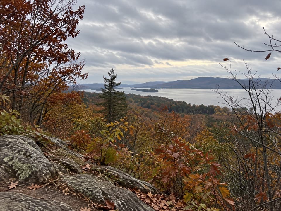 EasyStewart’s Ledge Loop Trail1.3 mi · 54 min · 7.3 mi awayA short, unmarked loop to an open Lake George overlook.
 ModerateInman Pond Trail from Sly Pond Road2.6 mi · 1.8 hr · 8.7 mi awayForest walk to a pond, with a steeper spur near the end
 ModerateRed Trail to The Pinnacle2.2 mi · 2 hr · 9.3 mi awayA short, steep climb to a broad Lake George overlook.
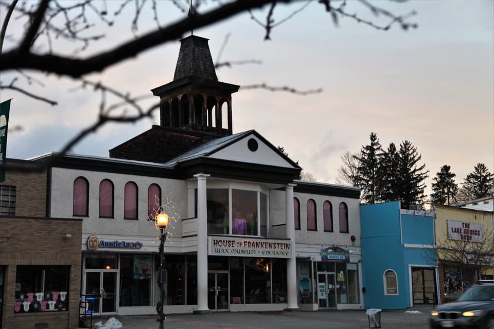 Sight · 0.3 mi awayHouse of Frankenstein Wax MuseumClassic monsters, wax scenes, and a spinning Black Hole finale.
 Sight · 0.4 mi awayFun World ArcadeAir hockey, classics and prize games make an easy rainy-day stop.
 Sight · 0.4 mi awayAdirondack Winery Lake George Tasting RoomA guided seven-wine flight comes with a glass to keep.
 Visitor center · 0.4 mi awayVillage of Lake George Visitor CenterLocal maps, history displays and visitor help in the village center.
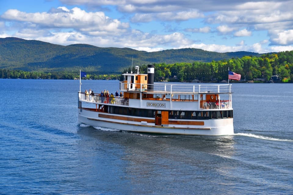 Sight · 0.4 mi awayLake George Waterfront CruisesRide the 1988 Horicon past islands, estates and mountain shores.
 Sight · 0.4 mi awayLake George Mystery SpotThe X is a quick experiment; the echo’s a maybe.
 Beach · 0.4 mi awayShepard Park and BeachA sandy village beach, public dock, and a rebuilt concert stage.
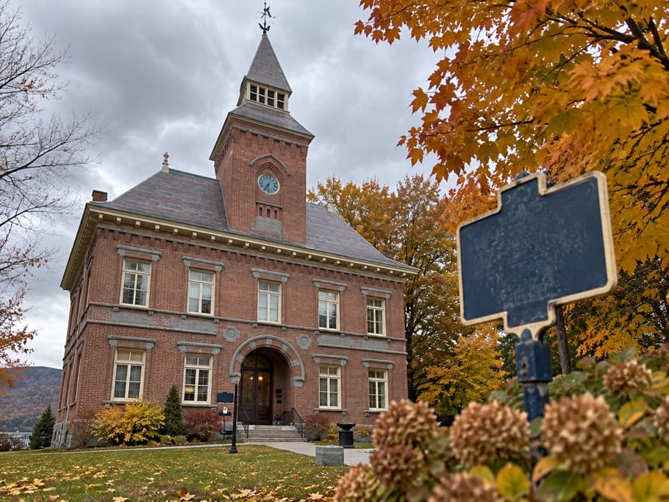 Sight · 0.4 mi awayLake George Historical Association MuseumA preserved courtroom and jail tell Lake George’s history up close.
Parkwolf’s Lake George ranking
 Sleeping Beauty Mountain LoopModerate · 4 miBuck Mountain Trail from Pilot KnobChallenging · 6.6 mi
 Black Mountain Summit TrailModerate · 5 mi
 Cat Mountain Trail from Valley Woods RoadModerate · 6.8 miRed Trail to The PinnacleModerate · 2.2 miSchumann Preserve at Pilot Knob Orange Trail to GazeboModerate · 1.4 mi
The audio tour guide for the drive, plus offline maps, trails, and wildlife heatmaps for when the signal drops.