Parking
Use the public Buck Mountain/Pilot Knob Parking Area off Pilot Knob Road (1750 Pilot Knob Road). Start on the marked Buck Mountain Trail; the ledge branch is about 200 yards in.
Lake George NY, NY
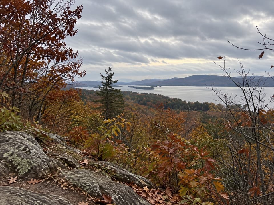
A short, unmarked loop to an open Lake George overlook.
Overview
Stewart’s Ledge Loop is a 1.3-mile loop from the Buck Mountain/Pilot Knob parking area, with a short shared section of the Buck Mountain Trail on the way in and back. Allow 45 to 60 minutes. Most of the walking is on packed dirt and fairly gentle, but there is one short steep stretch and about 300 feet of climbing. It is a good choice for a quick Lake George view, not a substitute for the much longer Buck Mountain summit hike.
 Parkwolf’s verdictIs this the hike for you?
Map & elevation
Plan your hike

The highest, rockiest slopes around here are a summer buffet for grizzly bears.
Lake George Tour Guide
Parkwolf is a GPS audio tour guide for Lake George NY. As you drive, it chimes in with what’s ahead: hidden gems, upcoming stops, history, geology, and wildlife, right through your car’s speakers.
See the Lake George audio tourRecorded for this trailhead
Buck Mountain and Stewart’s Ledge“You're coming up on the Buck Mountain trailhead at Pilot Knob. For a quick lake view, I'd choose Stewart's Ledge: forty-five minutes to an hour, with one short, steep stretch.”
Plays as you drive up to this trailhead in the Parkwolf Lake George Tour Guide.
More stories near here in the app
“Fantastic app with many points of information… It’s great to just turn on while you’re driving and it gives you an audio tour of the national Park. We love it!!!!”


Trail guide
Start on the marked Buck Mountain Trail. After roughly 200 yards, take the unmarked branch to the right at a large stone; the marked trail continues straight and a horse path branches left. The ledge route loops back to the Buck trail at another point, then follows the shared access back to the parking area. The junction is the main wayfinding catch: Stewart’s Ledge is not named on the trailhead sign.
A couple of glimpses through the trees lead to an open rock ledge with a broad view across Lake George, its islands, and the mountains beyond. The view is the payoff, and the short walk makes this a useful option when you do not have time for Buck Mountain’s summit route. From the ledge, a strip of rock in the foreground helps show the overlook above the wooded slope, with the islands and distant ridges beyond.
Dogs are allowed. Keep them under control, and leash them at the trailhead as required on New York State land. Begin at the public Buck Mountain/Pilot Knob parking area off Pilot Knob Road.
Wildlife
 34 sightingsWhite-tailed DeerMost seen around 5 PMSighting map
 26 sightingsTimber RattlesnakeMost seen around 6 PMSighting map
 22 sightingsOspreyMost seen around 7 AMSighting map
 60 sightingsLoonMost seen around 6 AMSighting map
 33 sightingsPorcupineMost seen around 7 PMSighting map
 84 sightingsGreat Blue HeronMost seen around 6 AMSighting map
Sighting maps show where each species has been reported across Lake George. Wildlife moves, so no sighting is guaranteed.
Keep exploring
 ChallengingBuck Mountain Trail from Pilot Knob6.6 mi · 4.5 hr · At the trailheadA long climb, then open rock above the lake.
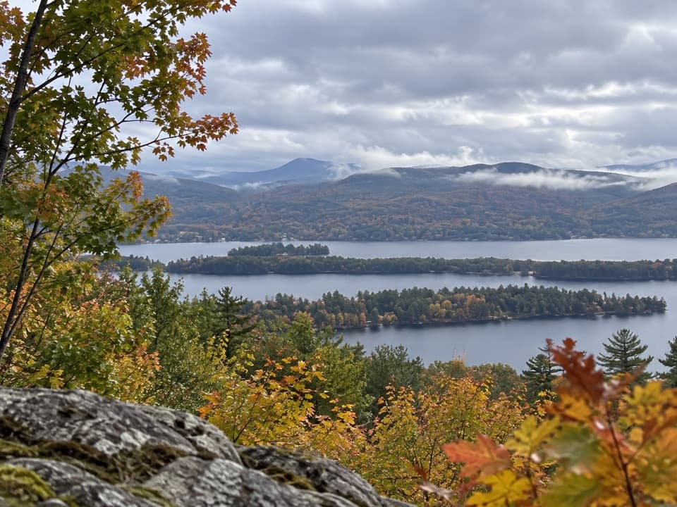 ModerateSchumann Preserve at Pilot Knob Orange Trail to Gazebo1.4 mi · 1 hr · 2.6 mi awayA short, steep climb to a gazebo above Lake George.
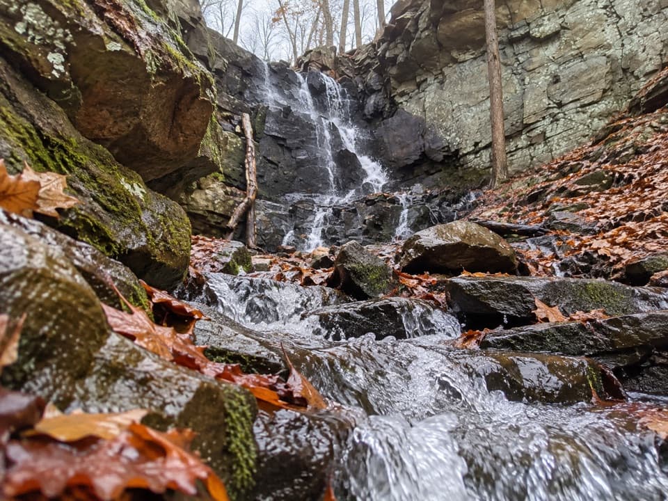 ModerateSchumann Preserve Blue Trail and Waterfall Loop4.2 mi · 2.2 hr · 2.6 mi awayRocky gazebo climb, then a forest loop to seasonal falls.
 ModerateInman Pond Trail from Sly Pond Road2.6 mi · 1.8 hr · 3.3 mi awayForest walk to a pond, with a steeper spur near the end
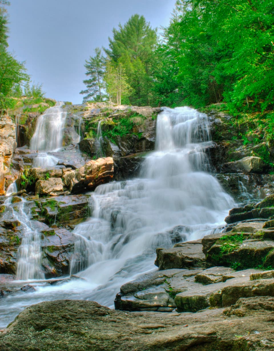 EasyShelving Rock Falls Trail0.8 mi · 45 min · 3.4 mi awayA short brookside walk to a broad, tiered cascade.
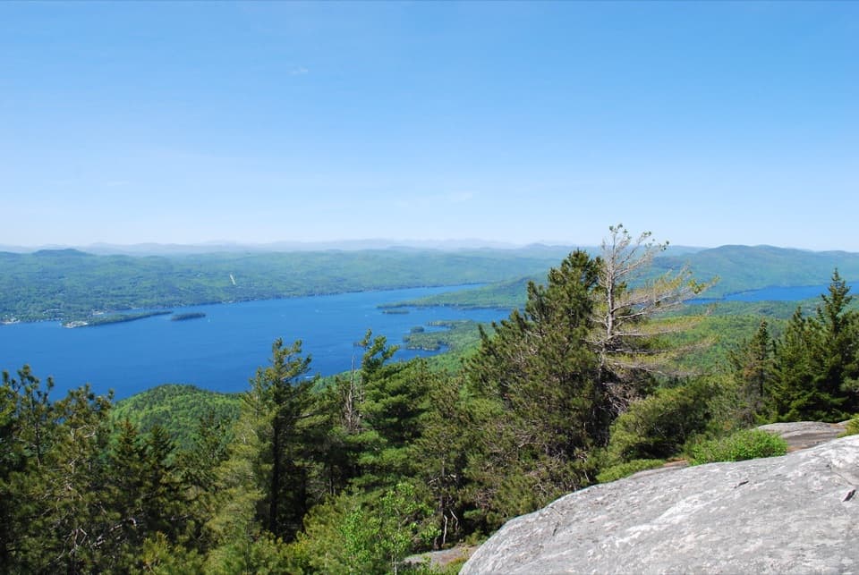 ModerateBuck Mountain Trail from Shelving Rock Road4.4 mi · 4 hr · 3.5 mi awayA steady forest climb ends above Lake George’s island-dotted water.
 ModerateShelving Rock Mountain Trail3.4 mi · 2.3 hr · 3.6 mi awayA steady woodland climb ends above Lake George.
 ModerateLake Shore Trail9 mi · 5 hr · 3.6 mi awayA 9-mile out-and-back to Black Mountain Point on Lake George.
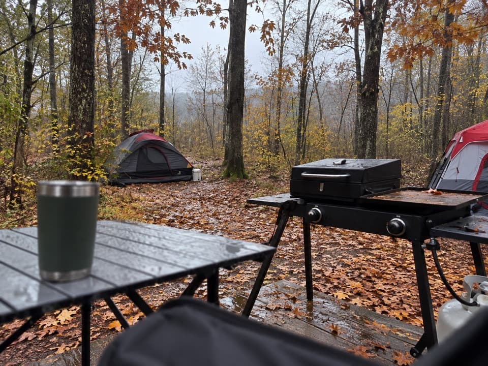 Campground · 2.2 mi awayLong Island CampgroundA wooded island camp, with a dock at every site.
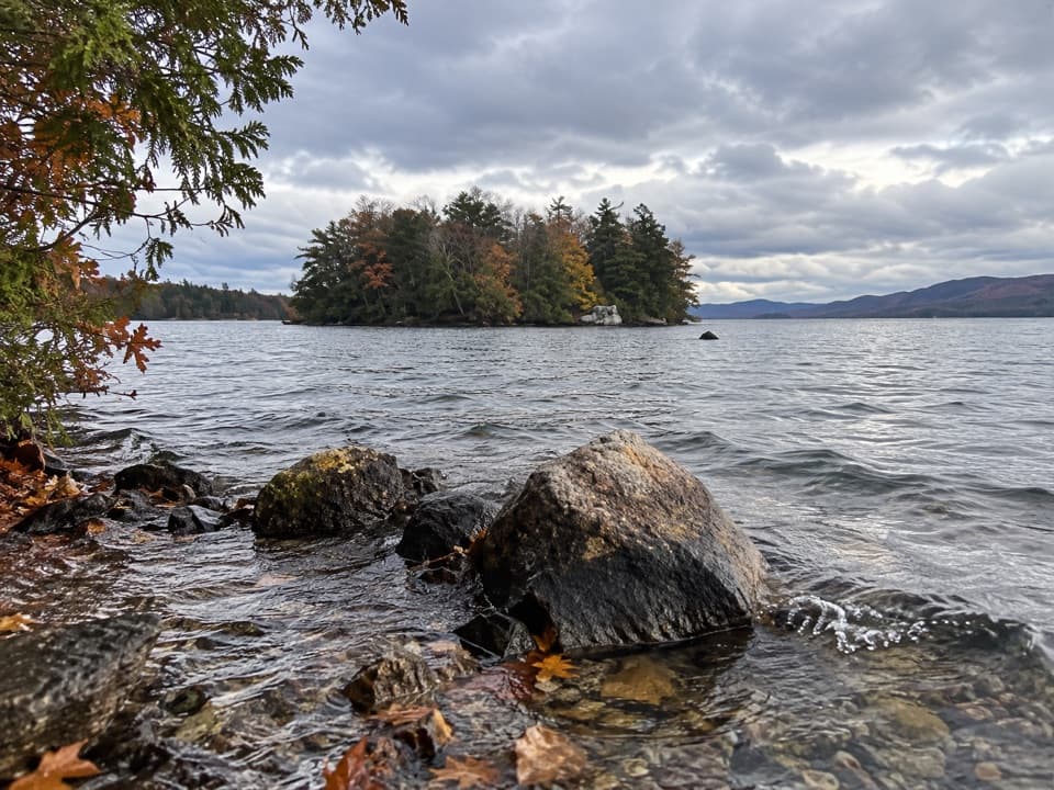 Picnic area · 2.9 mi awaySpeaker Heck IslandA compact island stop that turns lunch into a boat outing.
 Sight · 3 mi awayThe SembrichOpera history inside a soprano’s former teaching studio.
 Restaurant · 3.1 mi awayThe Algonquin RestaurantDockside dining pairs the Fish Point with wide lake views.
 Lodging · 3.3 mi awayThe Sagamore ResortA historic hotel on a private island reached by causeway.
 Beach · 3.4 mi awayRogers Memorial Park and BeachLake George swimming, picnic space, and a pier in the village.
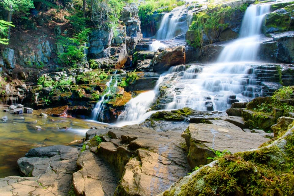 Sight · 3.4 mi awayShelving Rock FallsShort woodland approach; the base takes a steep, rocky scramble.
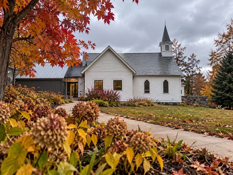 Sight · 3.4 mi awayThe Bolton MuseumA former church traces the story of a classic Adirondack resort
Parkwolf’s Lake George ranking
The audio tour guide for the drive, plus offline maps, trails, and wildlife heatmaps for when the signal drops.




