Parking
Dacy Clearing Parking Area on Dacy Clearing Road, reached from Shelving Rock Road. Vehicle access is seasonally gated; if closed, park at Hogtown and walk roughly 1.5 miles each way to Dacy, adding about 3 miles round trip.

#1 of 67 trails in Lake George
Lake George NY, NY
Rocky summit views above Lake George, with a Bumps Pond return
Overview
Map & elevation
Plan your hike

The highest, rockiest slopes around here are a summer buffet for grizzly bears.
Lake George Tour Guide
Parkwolf is a GPS audio tour guide for Lake George NY. As you drive, it chimes in with what’s ahead: hidden gems, upcoming stops, history, geology, and wildlife, right through your car’s speakers.
See the Lake George audio tourRecorded for this trailhead
Dacy Clearing and Sleeping Beauty“You're nearing the Hogtown access to Dacy Clearing and Sleeping Beauty Mountain. I'd hike from the clearing to the rocky Lake George overlook and return the same way, roughly four miles round trip.”
Plays as you drive up to this trailhead in the Parkwolf Lake George Tour Guide.
More stories near here in the app
“Fantastic app with many points of information… It’s great to just turn on while you’re driving and it gives you an audio tour of the national Park. We love it!!!!”


Trail guide
Sleeping Beauty Mountain Loop is a roughly 4-mile circuit from Dacy Clearing that climbs to an open-rock viewpoint above Lake George, then returns by the Bumps Pond side. Allow about 3.5 hours for the steep climb, uneven ground, and a break at the view. The first half-mile shares a broad old tote road to a junction; take the right branch toward Sleeping Beauty, continue along the upper connector toward Bumps Pond, and return to Dacy on the pond trail. The official map shows the upper connection, but it does not provide a precise track for the short link near the pond, so the route line there is approximate. Treat four miles as a planning estimate and follow the trail on the ground at that turn. DEC lists separate one-way distances from Dacy—2.1 miles to the summit and 1.6 miles to Bumps Pond—while other accounts measure combined loops at about 4.5 to 5.6 miles. Those figures describe separate legs or different loop conventions, not a single settled mileage.
The shared approach is a wide, gently rising tote road, with rocky patches and wet ground. At the first junction, turn right for Sleeping Beauty; the left branch is the direct Bumps Pond approach used on the return. The grade steepens on the mountain trail, where exposed roots, eroded soil, and loose rock make the climb slower than the distance suggests. A small bridge near the start of the climb can be slippery when wet. DEC gives 1,038 feet of ascent from Dacy to the summit, which accounts for most of the effort.
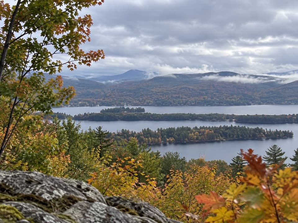
The main payoff is a broad open-rock overlook with Lake George and forested Adirondack ridges spread out below. This is the false summit, close in height to the wooded true summit. The true summit is less than half a mile farther, but it does not have the same open panorama. Stay back from the rock edges. For a photo, include some of the ledge in the foreground so the lake and distant ridges have a clear sense of scale.
After the mountain viewpoint, continue toward Bumps Pond and follow the pond-side trail back to the shared lower approach and Dacy Clearing. This gives the walk a quieter, more wooded second half than retracing the summit climb. The low ground by the pond can be muddy, and the upper junction is less clearly represented in online trail data than the main approach. Keep a map handy and follow the marked tread rather than relying on a GPS line for that short connection.
For a simpler plan, hike to the open-rock viewpoint and return the same way, skipping the pond-side connection. DEC measures the summit route at 2.1 miles one way; another trail account gives 1.8 miles, so expect roughly 3.6 to 4.2 miles round trip depending on where you turn around. This keeps the day focused on the climb and the Lake George view.
Start at the Dacy Clearing Parking Area on Dacy Clearing Road, reached from Shelving Rock Road. Vehicle access is controlled by a seasonal gate. If it is closed, park at Hogtown and walk about 1.5 miles each way along the rough road, adding roughly 3 miles to the outing. Dogs are allowed. DEC requires leashes at trailheads and campsites and during hunting and trapping seasons; keep dogs under control throughout the hike.
Wildlife
 34 sightingsWhite-tailed DeerMost seen around 5 PMSighting map
 26 sightingsTimber RattlesnakeMost seen around 6 PMSighting map
 22 sightingsOspreyMost seen around 7 AMSighting map
 60 sightingsLoonMost seen around 6 AMSighting map
 33 sightingsPorcupineMost seen around 7 PMSighting map
 84 sightingsGreat Blue HeronMost seen around 6 AMSighting map
Sighting maps show where each species has been reported across Lake George. Wildlife moves, so no sighting is guaranteed.
Keep exploring
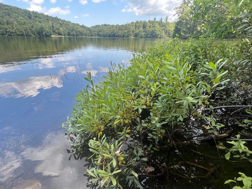 ModerateFishbrook Pond Trail5.8 mi · 3.5 hr · At the trailheadClimb to two Adirondack ponds on this out-and-back.
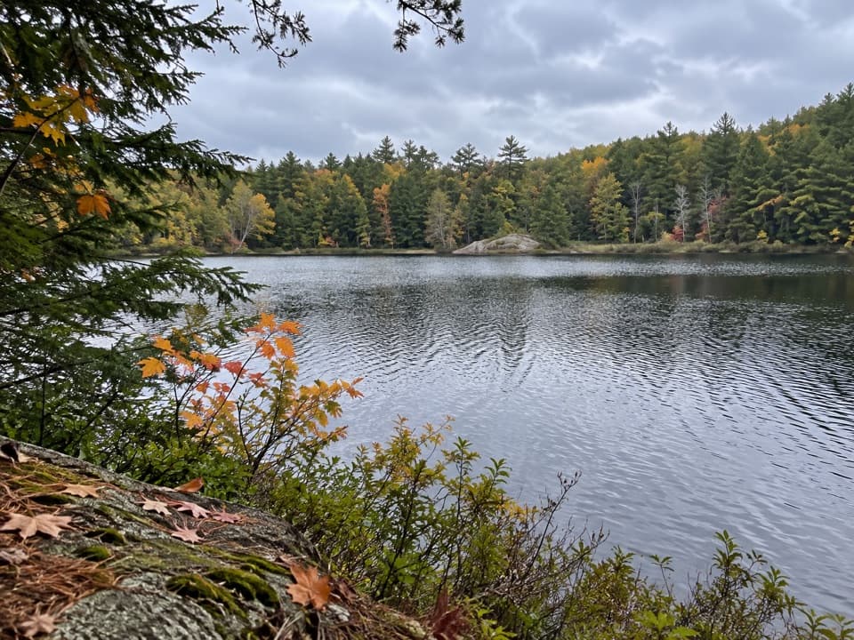 ChallengingGreenland Pond Trail7.6 mi · 4.5 hr · At the trailheadA long forest walk to a secluded pond and lean-to.
 ChallengingErebus and Fishbrook Pond Loop8.8 mi · 5 hr · At the trailheadTwo ponds, a rocky Lake George overlook, and a long forest loop
 ModerateBumps Pond Trail3.2 mi · 2.8 hr · At the trailheadA rocky climb ends at a quiet pond with a brushy island.
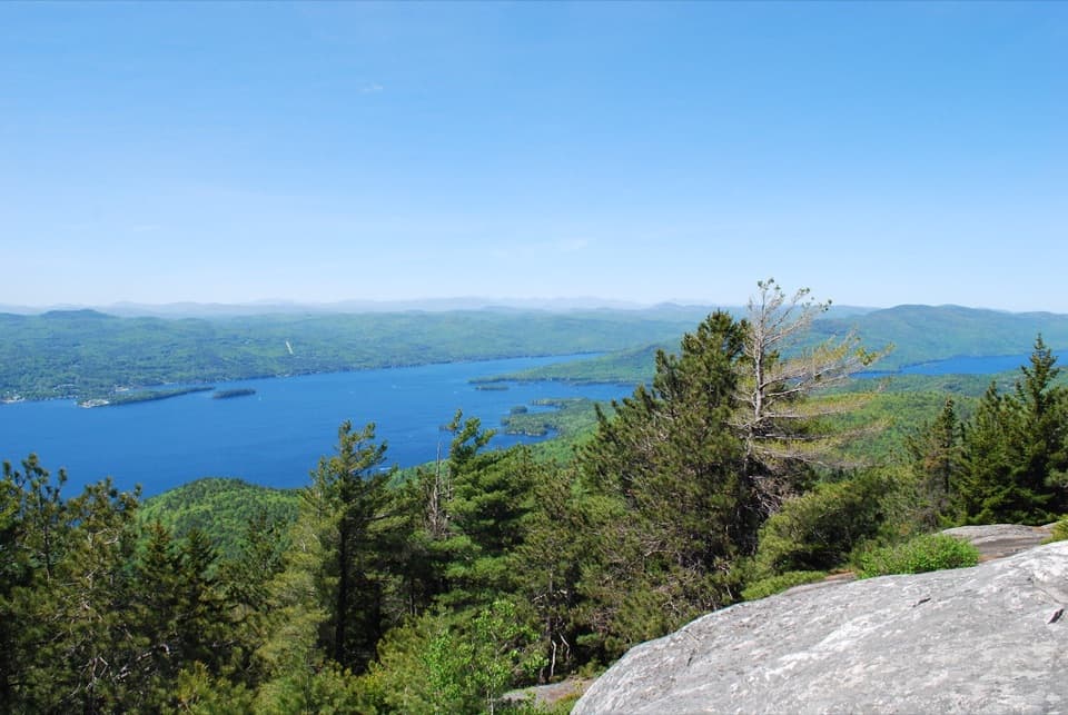 ModerateBuck Mountain Trail from Shelving Rock Road4.4 mi · 4 hr · 1.2 mi awayA steady forest climb ends above Lake George’s island-dotted water.
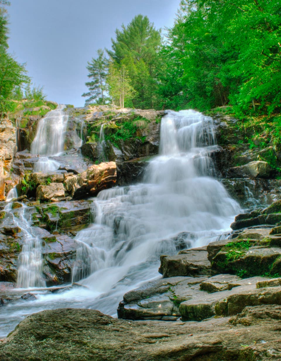 EasyShelving Rock Falls Trail0.8 mi · 45 min · 2.1 mi awayA short brookside walk to a broad, tiered cascade.
 ModerateShelving Rock Mountain Trail3.4 mi · 2.3 hr · 2.2 mi awayA steady woodland climb ends above Lake George.
 ModerateLake Shore Trail9 mi · 5 hr · 2.2 mi awayA 9-mile out-and-back to Black Mountain Point on Lake George.
 Picnic area · 2.1 mi awayCommission Point Picnic AreaA boat-in picnic stop with lakeside tables on Lake George.
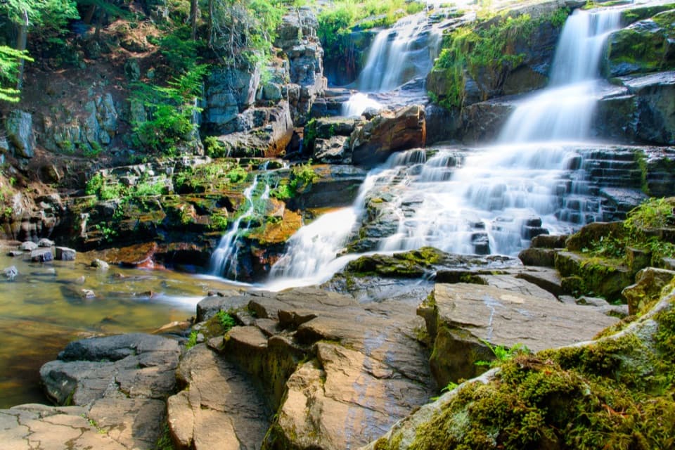 Sight · 2.3 mi awayShelving Rock FallsShort woodland approach; the base takes a steep, rocky scramble.
 Picnic area · 2.6 mi awaySarah IslandTwo reservable dock sites make this a useful island picnic stop.
 Picnic area · 2.6 mi awayHazel IslandA boat-only picnic stop with two reservable docks.
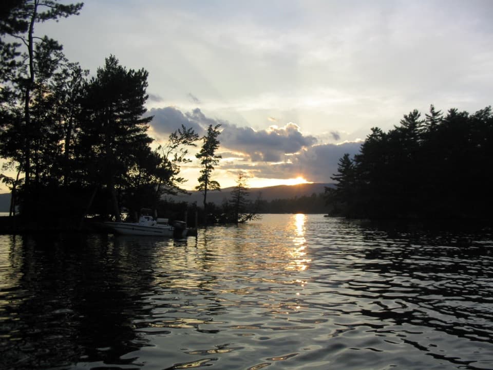 Campground · 2.8 mi awayGlen Island CampgroundEven the mainland campsites are reached only by boat.
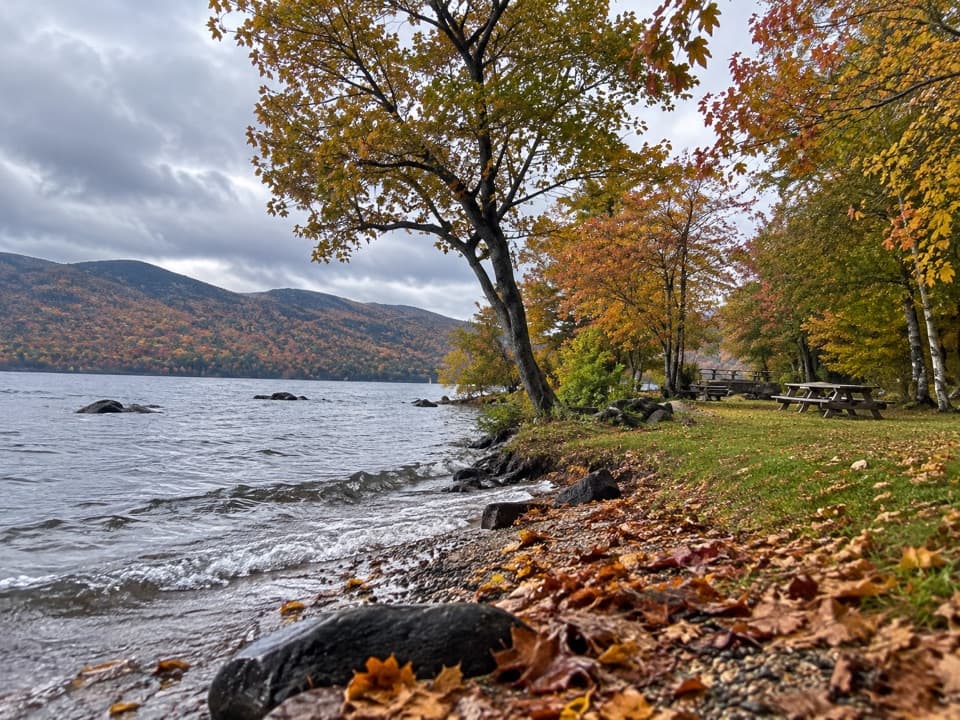 Picnic area · 3.4 mi awayBlack Mountain Point Picnic AreaA picnic stop among the trees on Lake George's east shore.
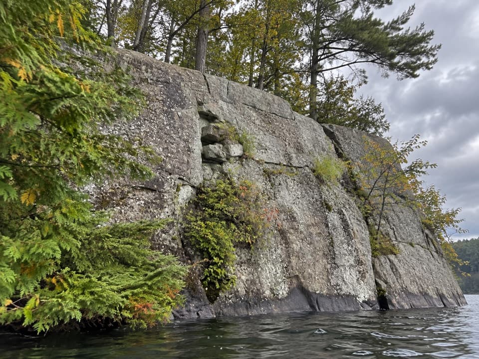 Picnic area · 3.7 mi awayWest Dollar IslandA steep rock face meets the water at this island picnic stop.
 Lodging · 4.5 mi awayThe Sagamore ResortA historic hotel on a private island reached by causeway.
Parkwolf’s Lake George ranking
 Buck Mountain Trail from Pilot KnobChallenging · 6.6 mi
 Black Mountain Summit TrailModerate · 5 mi
 Cat Mountain Trail from Valley Woods RoadModerate · 6.8 mi
 Prospect Mountain TrailChallenging · 3 mi
 Red Trail to The PinnacleModerate · 2.2 mi
 Schumann Preserve at Pilot Knob Orange Trail to GazeboModerate · 1.4 mi

The audio tour guide for the drive, plus offline maps, trails, and wildlife heatmaps for when the signal drops.