Parking
Use the large Lake George Village Recreation Center lot on Transfer Road, about half a mile past the transfer station at the top of the hill. Start within the Recreation Center trail system; do not navigate to the nearby Girl Scout camp.

Lake George NY, NY
Ridge views, a beaver pond, and a loop worth navigating carefully
Overview
Map & elevation
Plan your hike

The highest, rockiest slopes around here are a summer buffet for grizzly bears.
Lake George Tour Guide
Parkwolf is a GPS audio tour guide for Lake George NY. As you drive, it chimes in with what’s ahead: hidden gems, upcoming stops, history, geology, and wildlife, right through your car’s speakers.
See the Lake George audio tourRecorded for this area
The Rectangular Hole in the Tree“A deep rectangular hole in a dead tree can be a sign of a pileated woodpecker. This crow-sized bird digs into rotten wood to reach carpenter ants, sometimes tearing open a large section of a trunk or fallen log.”
Plays on the road 0.5 mi from the trailhead in the Parkwolf Lake George Tour Guide.
More stories near here in the app
“Fantastic app with many points of information… It’s great to just turn on while you’re driving and it gives you an audio tour of the national Park. We love it!!!!”


Trail guide
Berry Pond Scenic Loop is a roughly 5.6-mile circuit from the Lake George Village Recreation Center. It climbs the Blue-marked ridge for open views, drops to Berry Pond, follows the pond-side loop, and returns on the Orange route and a shared approach. The route repeats part of the approach on the way back; allow about 3.5 hours, including stops. Connected trail options have published totals from about 4.1 to 5.9 miles, so the stored distance represents this full ridge-and-pond circuit rather than every possible variant.
Begin at the Village Recreation Center on Transfer Road, not the nearby Girl Scout camp. The approach crosses a network with many junctions and directional changes before reaching state land. Carry a current preserve map, follow the blue markers carefully, and check it at turns; visitors have reported missing junctions or turning back before reaching the pond.
The Blue route climbs about 520 feet over roughly a mile to two viewpoints. One looks north over Lake George and the Narrows; the higher overlook looks south toward Butler Pond, Vermont and the Adirondacks. The map calls the latter Noosa’s Bluff, named for the yellow Labrador of the family who helped establish the preserve.
The pond lies in the headwaters of West Brook and has an active beaver community. Openings along the wooded shoreline reveal lily-covered water, beaver-cut trees and the hillside across the pond. The pond drains in two directions: east toward Lake George and west toward the Hudson River.
The Orange route follows dirt road and forest path between the Blue junction and pond loop. The pond-side path passes below a beaver dam; a low crossing can become impassable during high water, so check the map and turn back if the route is flooded. Snowmobiles also use the Orange route in winter. The current passability of the crossing has not been confirmed.
The Lake George Land Conservancy bought the 1,436-acre tract in 2008 and transferred it to New York State in 2015. It is now part of the Lake George Wild Forest. The route combines a steep ridge walk with a quieter wetland edge, rather than staying on one continuous marked trail.
Wildlife
 34 sightingsWhite-tailed DeerMost seen around 5 PMSighting map
 26 sightingsTimber RattlesnakeMost seen around 6 PMSighting map
 22 sightingsOspreyMost seen around 7 AMSighting map
 60 sightingsLoonMost seen around 6 AMSighting map
 33 sightingsPorcupineMost seen around 7 PMSighting map
 84 sightingsGreat Blue HeronMost seen around 6 AMSighting map
Sighting maps show where each species has been reported across Lake George. Wildlife moves, so no sighting is guaranteed.
Keep exploring
 ModerateWarren County Bikeway9.4 mi · 3.2 hr · 1.8 mi awayA paved rail route with a bridge, rolling grades, and local history.
 ChallengingProspect Mountain Trail3 mi · 3 hr · 1.8 mi awayA steep village climb opens onto Lake George’s big summit panorama.
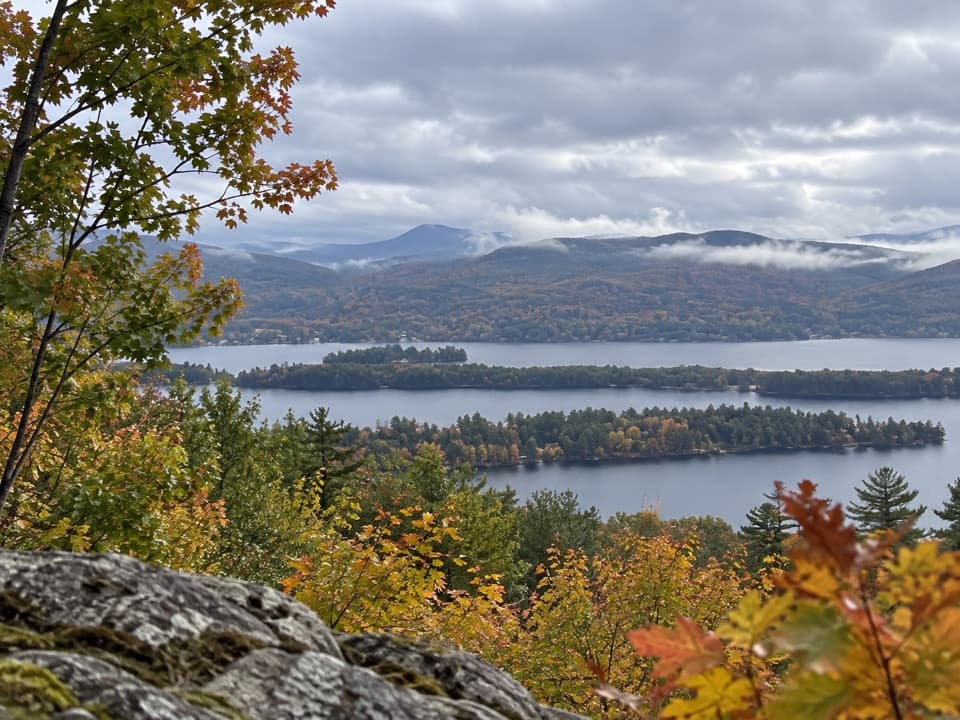 ModerateSchumann Preserve at Pilot Knob Orange Trail to Gazebo1.4 mi · 1 hr · 7.2 mi awayA short, steep climb to a gazebo above Lake George.
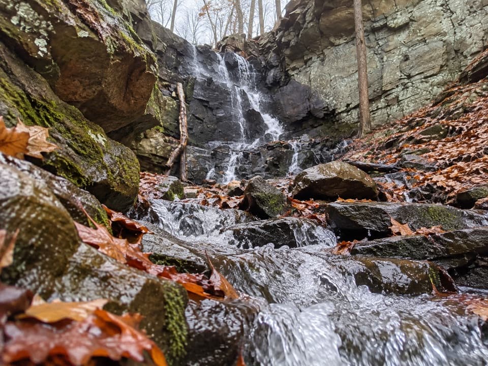 ModerateSchumann Preserve Blue Trail and Waterfall Loop4.2 mi · 2.2 hr · 7.2 mi awayRocky gazebo climb, then a forest loop to seasonal falls.
 ChallengingBuck Mountain Trail from Pilot Knob6.6 mi · 4.5 hr · 9.1 mi awayA long climb, then open rock above the lake.
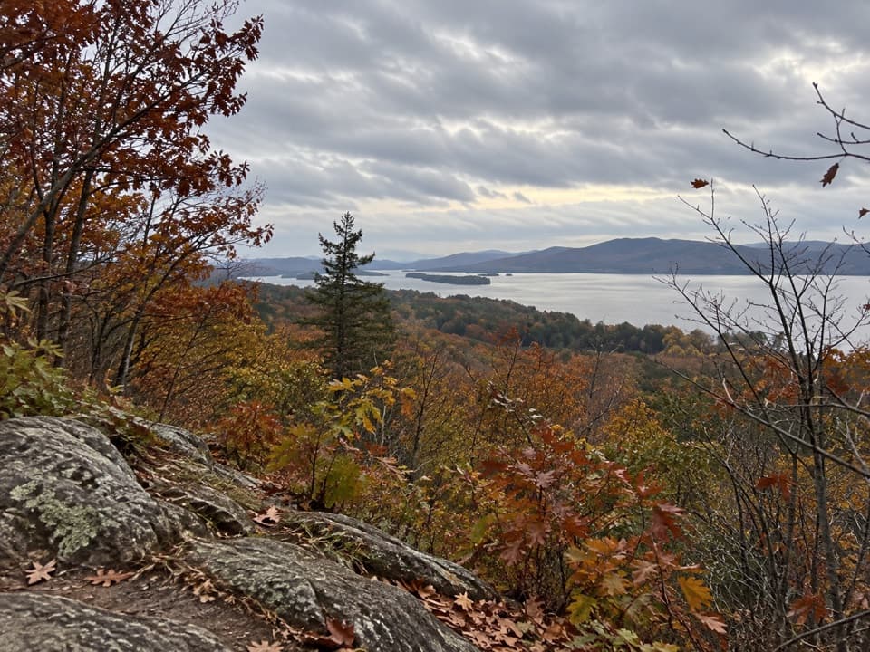 EasyStewart’s Ledge Loop Trail1.3 mi · 54 min · 9.1 mi awayA short, unmarked loop to an open Lake George overlook.
 ModerateInman Pond Trail from Sly Pond Road2.6 mi · 1.8 hr · 10.2 mi awayForest walk to a pond, with a steeper spur near the end
 ModerateRed Trail to The Pinnacle2.2 mi · 2 hr · 11.1 mi awayA short, steep climb to a broad Lake George overlook.
 Sight · 1.2 mi awayGoony GolfA storybook obstacle course for putt-putt nostalgia fans.
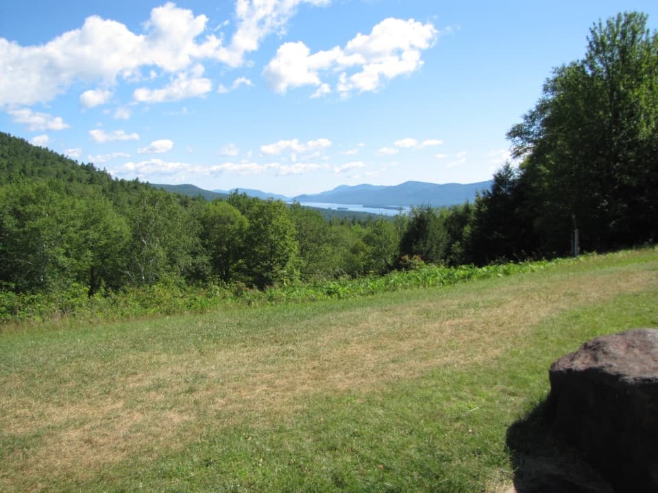 Scenic pullout · 1.4 mi awayThe Narrows OverlookA quick roadside look across the lake’s south end and islands.
 Campground · 1.4 mi awayLake George Battleground CampgroundCamp near the village and walk to nearby Million Dollar Beach.
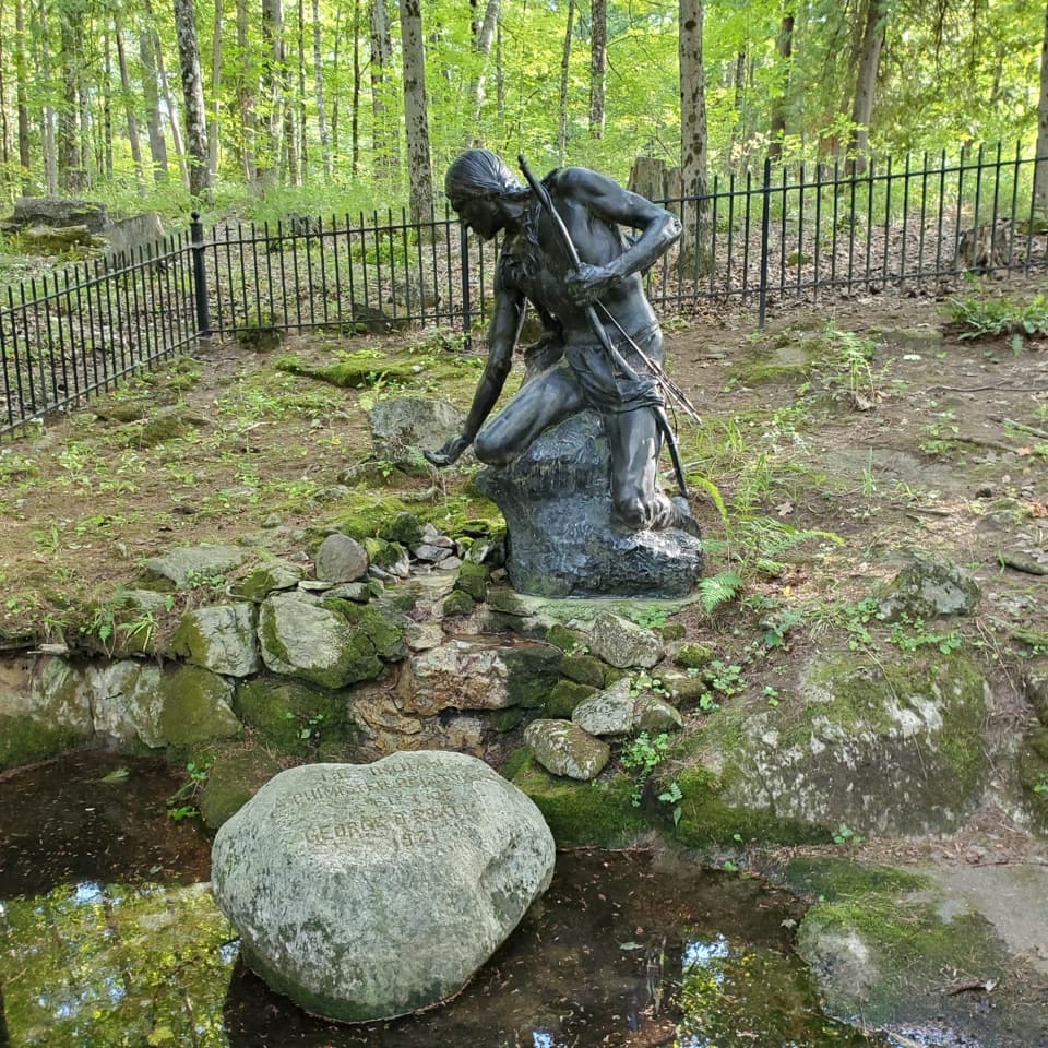 Sight · 1.6 mi awayLake George Battlefield ParkFollow Henry Knox’s cannon road past battlefield and fort ruins.
 Sight · 1.6 mi awayCharles R. Wood ParkFestival lawn, family play and a walk through working wetlands.
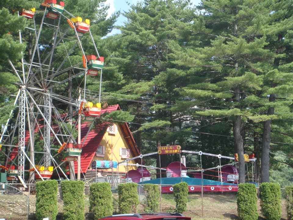 Sight · 1.6 mi awayLake George Expedition ParkA half-mile dinosaur trail and classic rides for younger kids.
 Visitor center · 1.6 mi awayLake George Battlefield Park Visitor Interpretive CenterFort and shipwreck models bring the lake's battles into focus.
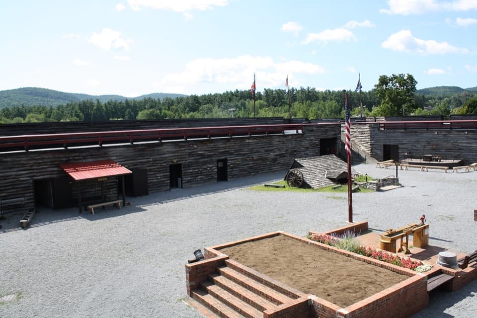 Sight · 1.7 mi awayFort William Henry MuseumA rebuilt fort brings the 1757 siege to life with cannon fire.
Parkwolf’s Lake George ranking

The audio tour guide for the drive, plus offline maps, trails, and wildlife heatmaps for when the signal drops.


