Parking
Start at the Inman Pond Parking Area on Sly Pond Road. Follow Inman Pond Trail to its junction with the northbound Inman Pond Spur.

Lake George NY, NY
Forest walk to a pond, with a steeper spur near the end
Overview
Map & elevation
Plan your hike

The highest, rockiest slopes around here are a summer buffet for grizzly bears.
Lake George Tour Guide
Parkwolf is a GPS audio tour guide for Lake George NY. As you drive, it chimes in with what’s ahead: hidden gems, upcoming stops, history, geology, and wildlife, right through your car’s speakers.
See the Lake George audio tourRecorded for this trailhead
Inman Pond from Sly Pond Road“Inman Pond's Sly Pond Road trailhead is coming up, for a forest walk to a pond rather than a summit. Allow an hour and a half to two hours for the two point six mile round trip, including a steeper climb near the end.”
Plays as you drive up to this trailhead in the Parkwolf Lake George Tour Guide.
More stories near here in the app
“Fantastic app with many points of information… It’s great to just turn on while you’re driving and it gives you an audio tour of the national Park. We love it!!!!”


Trail guide
This 2.6-mile out-and-back follows forest trails from Inman Pond Parking Area on Sly Pond Road to Inman Pond. The first 0.5 mile reaches a junction on Inman Pond Trail; take the northbound Inman Pond Spur for the final 0.8 mile. That spur climbs 380 feet to the pond. It suits a short outing when you want a pond-side destination instead of a summit; allow about 1.5 to 2 hours with a stop at the water.
The main trail continues toward Buck Mountain and Pilot Knob. For Inman Pond, take the northbound spur at the junction and stay with it to the water. The branch is the key decision on this walk: continuing on the through-trail takes you away from the pond and into a different, much longer outing.
The marked route reaches the shore beside a primitive tent site. At the west end, a large boulder is reported to give a higher view across the water. Reaching it involves a short, unmarked scramble, so treat it as an optional side trip rather than part of the mapped hike. From the shoreline, the pond and wooded ridge make the natural photo; the higher boulder view takes more effort and rougher footing.
This itinerary is an out-and-back; a complete shore circuit could not be confirmed, so plan to retrace the marked route. Dogs are allowed on state land when kept under control; leash them when other visitors approach.
Wildlife
 34 sightingsWhite-tailed DeerMost seen around 5 PMSighting map
 26 sightingsTimber RattlesnakeMost seen around 6 PMSighting map
 22 sightingsOspreyMost seen around 7 AMSighting map
 60 sightingsLoonMost seen around 6 AMSighting map
 33 sightingsPorcupineMost seen around 7 PMSighting map
 84 sightingsGreat Blue HeronMost seen around 6 AMSighting map
Sighting maps show where each species has been reported across Lake George. Wildlife moves, so no sighting is guaranteed.
Keep exploring
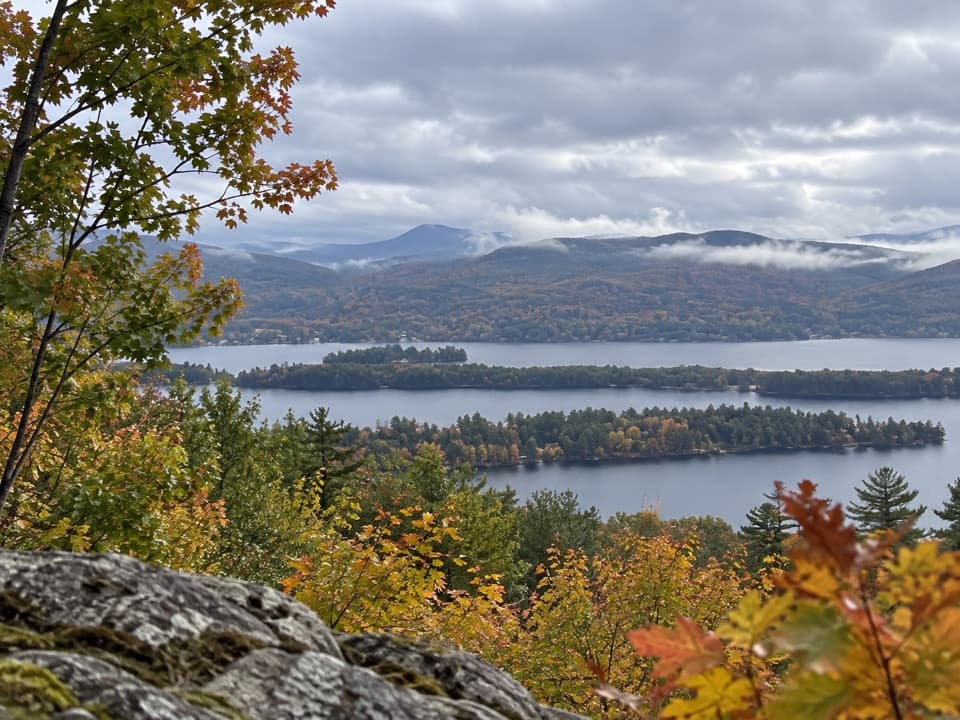 ModerateSchumann Preserve at Pilot Knob Orange Trail to Gazebo1.4 mi · 1 hr · 3.1 mi awayA short, steep climb to a gazebo above Lake George.
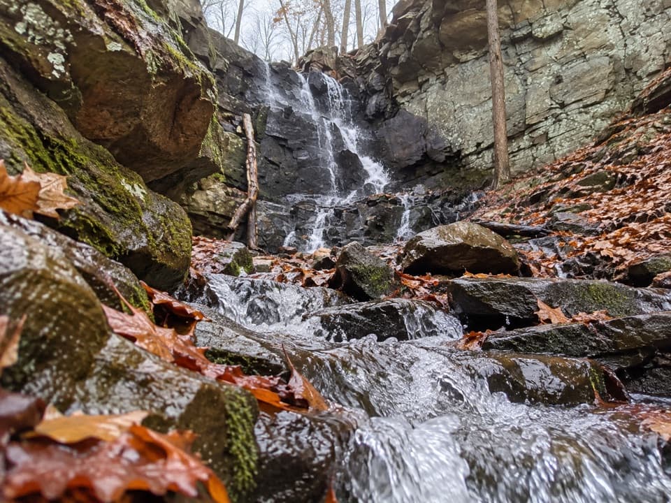 ModerateSchumann Preserve Blue Trail and Waterfall Loop4.2 mi · 2.2 hr · 3.1 mi awayRocky gazebo climb, then a forest loop to seasonal falls.
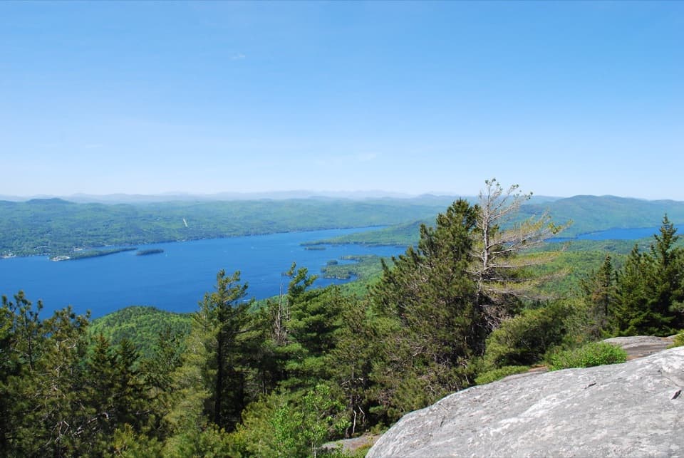 ModerateBuck Mountain Trail from Shelving Rock Road4.4 mi · 4 hr · 3.2 mi awayA steady forest climb ends above Lake George’s island-dotted water.
 ChallengingBuck Mountain Trail from Pilot Knob6.6 mi · 4.5 hr · 3.3 mi awayA long climb, then open rock above the lake.
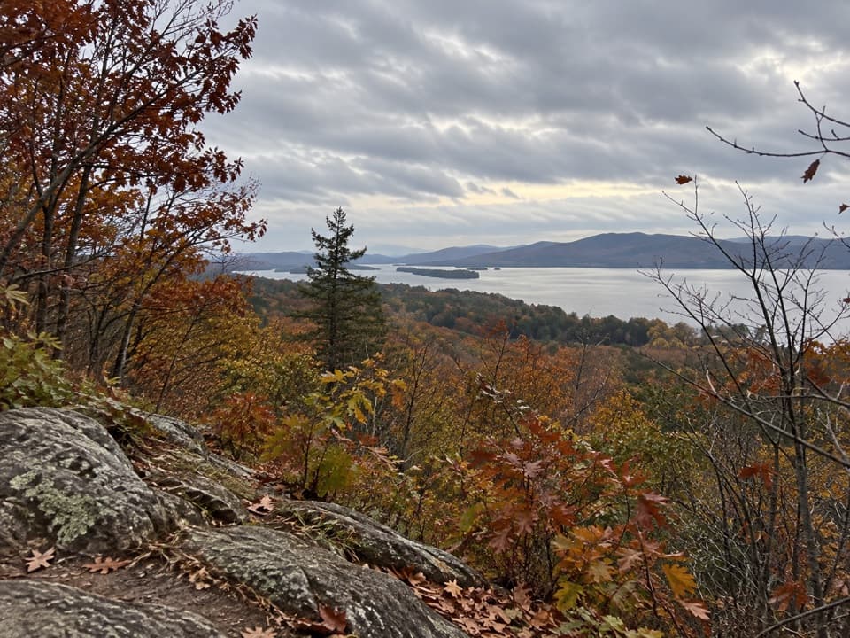 EasyStewart’s Ledge Loop Trail1.3 mi · 54 min · 3.3 mi awayA short, unmarked loop to an open Lake George overlook.
 ModerateSleeping Beauty Mountain Loop4 mi · 3.5 hr · 4.2 mi awayRocky summit views above Lake George, with a Bumps Pond return
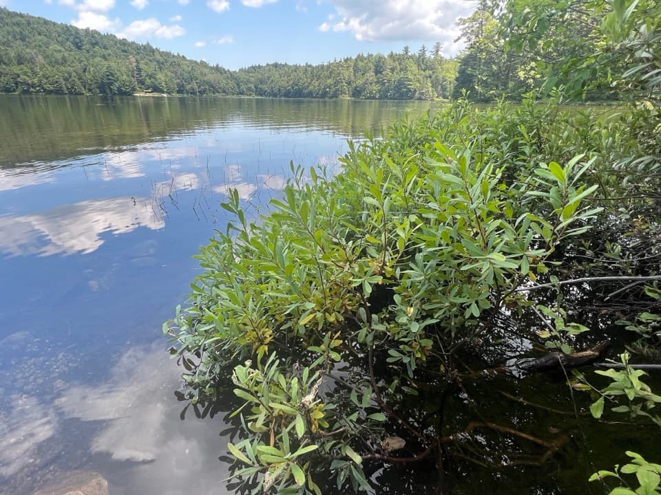 ModerateFishbrook Pond Trail5.8 mi · 3.5 hr · 4.2 mi awayClimb to two Adirondack ponds on this out-and-back.
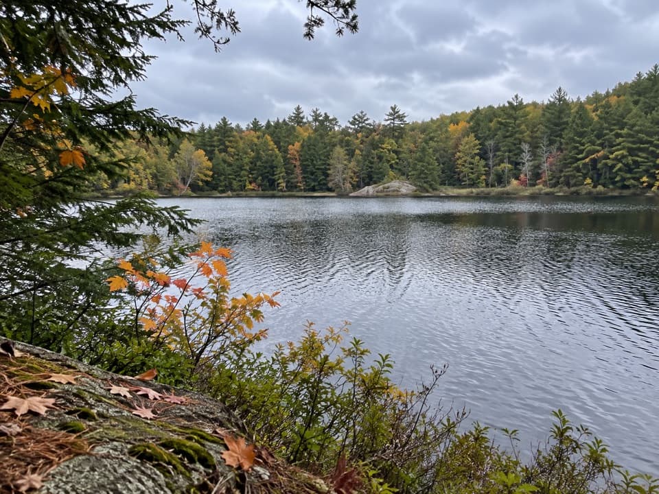 ChallengingGreenland Pond Trail7.6 mi · 4.5 hr · 4.2 mi awayA long forest walk to a secluded pond and lean-to.
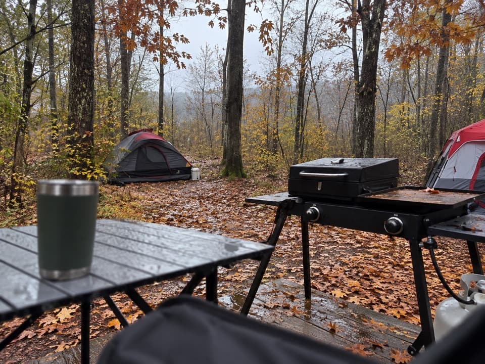 Campground · 4.3 mi awayLong Island CampgroundA wooded island camp, with a dock at every site.
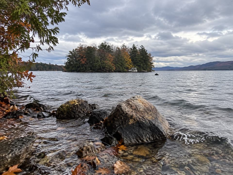 Picnic area · 4.7 mi awaySpeaker Heck IslandA compact island stop that turns lunch into a boat outing.
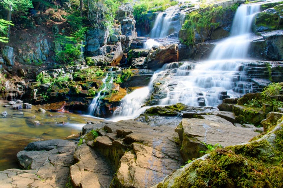 Sight · 4.7 mi awayShelving Rock FallsShort woodland approach; the base takes a steep, rocky scramble.
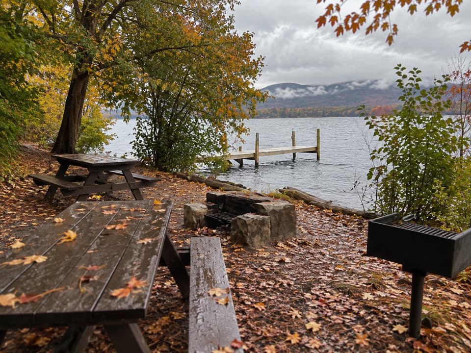 Picnic area · 5.7 mi awayDiamond IslandA Revolutionary War story comes with this boat-only picnic stop.
 Picnic area · 5.9 mi awayCommission Point Picnic AreaA boat-in picnic stop with lakeside tables on Lake George.
 Lodging · 6 mi awayThe Sagamore ResortA historic hotel on a private island reached by causeway.
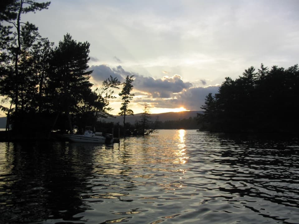 Campground · 6 mi awayGlen Island CampgroundEven the mainland campsites are reached only by boat.
 Sight · 6 mi awayThe SembrichOpera history inside a soprano’s former teaching studio.
Parkwolf’s Lake George ranking

The audio tour guide for the drive, plus offline maps, trails, and wildlife heatmaps for when the signal drops.



