
Place · 0 mi away
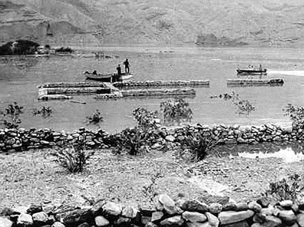
Callville—often called Fort Callville in older accounts—was a mid‑1860s Mormon river landing that later saw Army use. When Hoover Dam began impounding the Colorado River on September 30, 1935, the site was submerged beneath what became Lake Mead. Today, the “ruins” are typically underwater and there’s no signed National Park Service trail to a viewpoint or foundations. Think of this as a historical waypoint more than a stand‑alone stop.
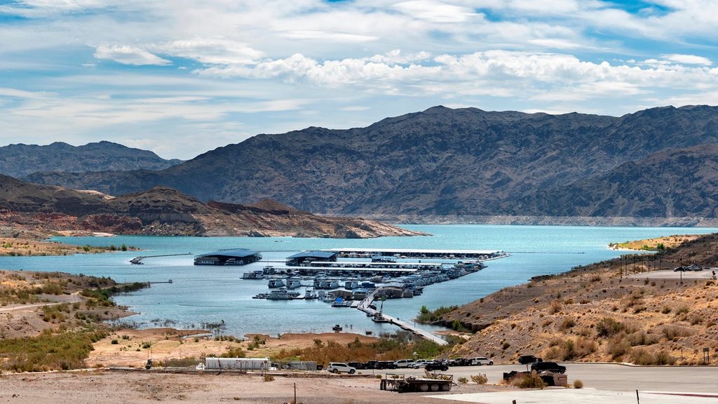
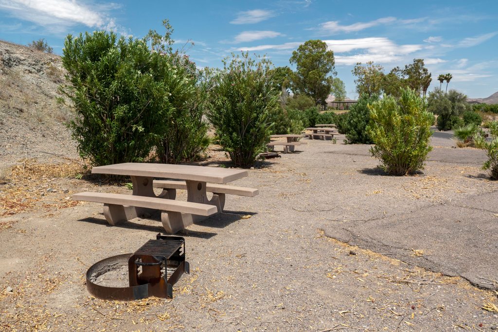
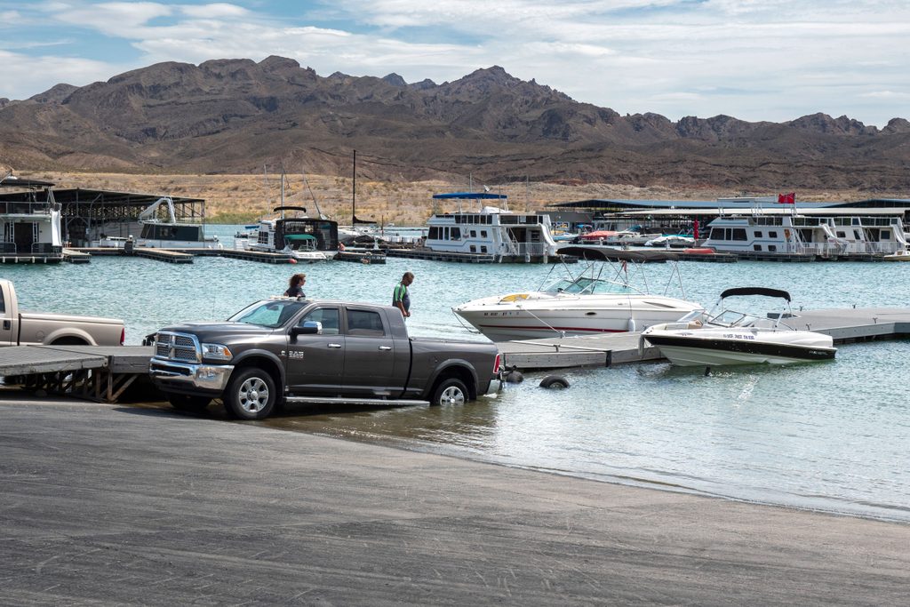
In unusually low lake levels, bits of the old landing area may peek out along the shoreline near Callville Bay. Manage expectations: your research doesn’t document consistently exposed, above‑water structures here. For context, the shaded picnic area at Callville Bay has interpretive panels, and the Callville Summit Trail across the road offers a short, rewarding hike with big views over Lake Mead and surrounding peaks—handy for orienting the story of the drowned settlement.
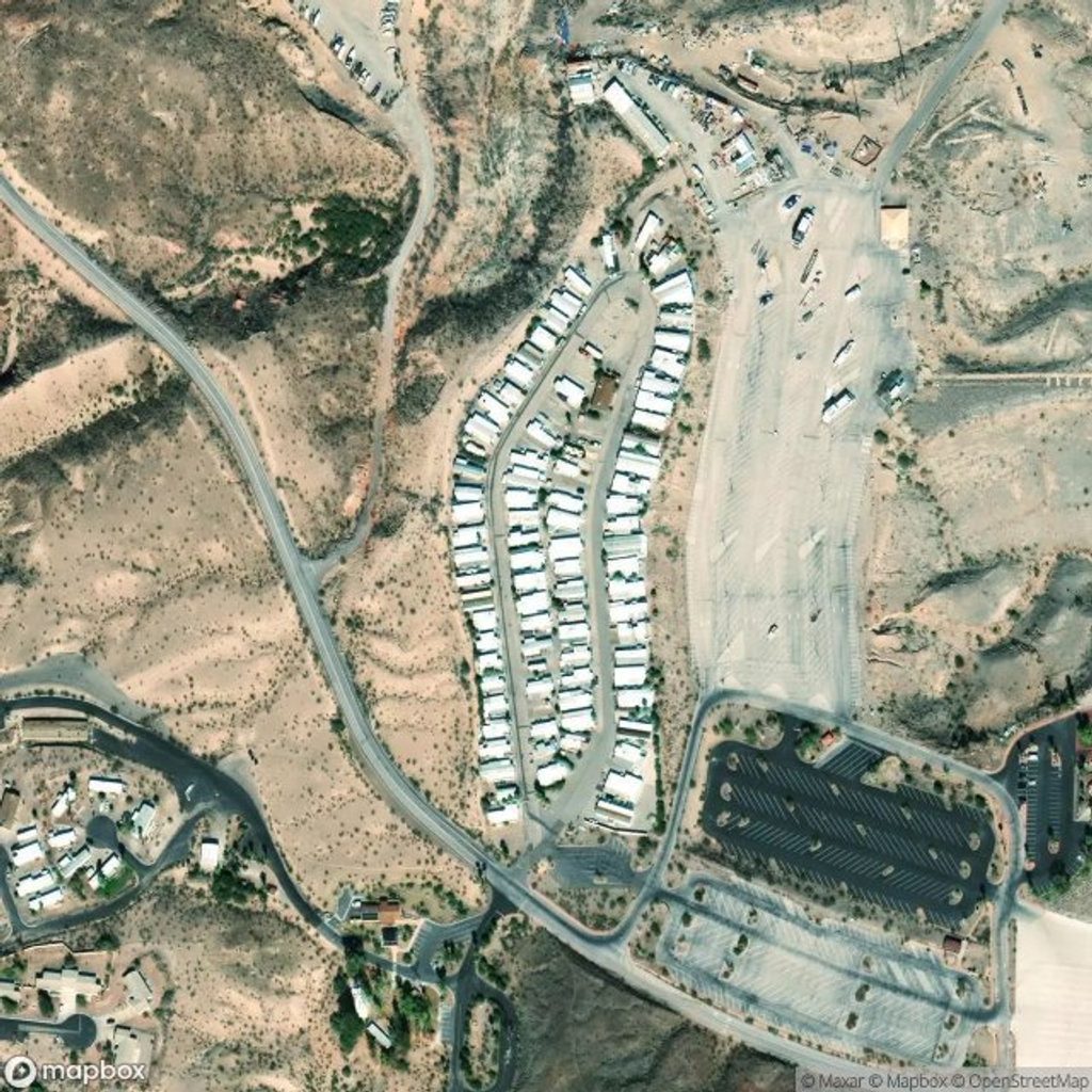
There’s no official route to “Fort Callville,” so base your visit out of the Callville Bay developed area. Read the picnic‑area interpretive signs, take the Callville Summit Trail for vistas, and, if the lake is extremely low, scan the edges of the bay for any exposed remnants. Restrooms, food, campground, marina, and a small store are all in the Callville Bay complex, but none of those facilities sit at the ruins themselves.
Established in 1864 as a steamboat port moving freight toward Salt Lake City, Callville later served as an Army outpost. Once Hoover Dam filled Lake Mead, Callville (and nearby river landings) went under. Unlike St. Thomas—another 1860s settlement that repeatedly re‑emerges and is hikeable—Callville doesn’t offer reliably visible ruins.
For comfort and light, aim for October–April when temperatures are cooler; summer commonly tops 100°F. Early morning or late afternoon gives softer photography and more pleasant hiking. If your goal is guaranteed above‑ground ruins, plan on St. Thomas instead of Callville unless current conditions indicate extremely low water.
Stay on established routes, carry extra water and sun protection, and leave any artifacts you find. Do not enter abandoned mines anywhere in the recreation area—guided mine tours outside the bay are the safe way to scratch that itch.
Place · 0 mi away
Place · 0.2 mi away
Place · 0.2 mi away
Place · 0.3 mi away
Moderate · 5.1 mi away
Moderate · 6.7 mi away
Challenging · 8.1 mi away
Moderate · 8.4 mi away

Parkwolf Tour Guide
