
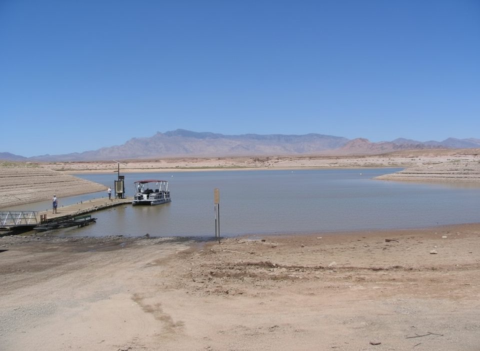
Place · 1.3 mi away
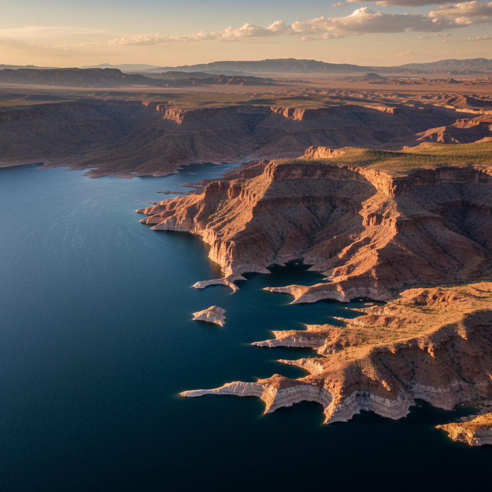
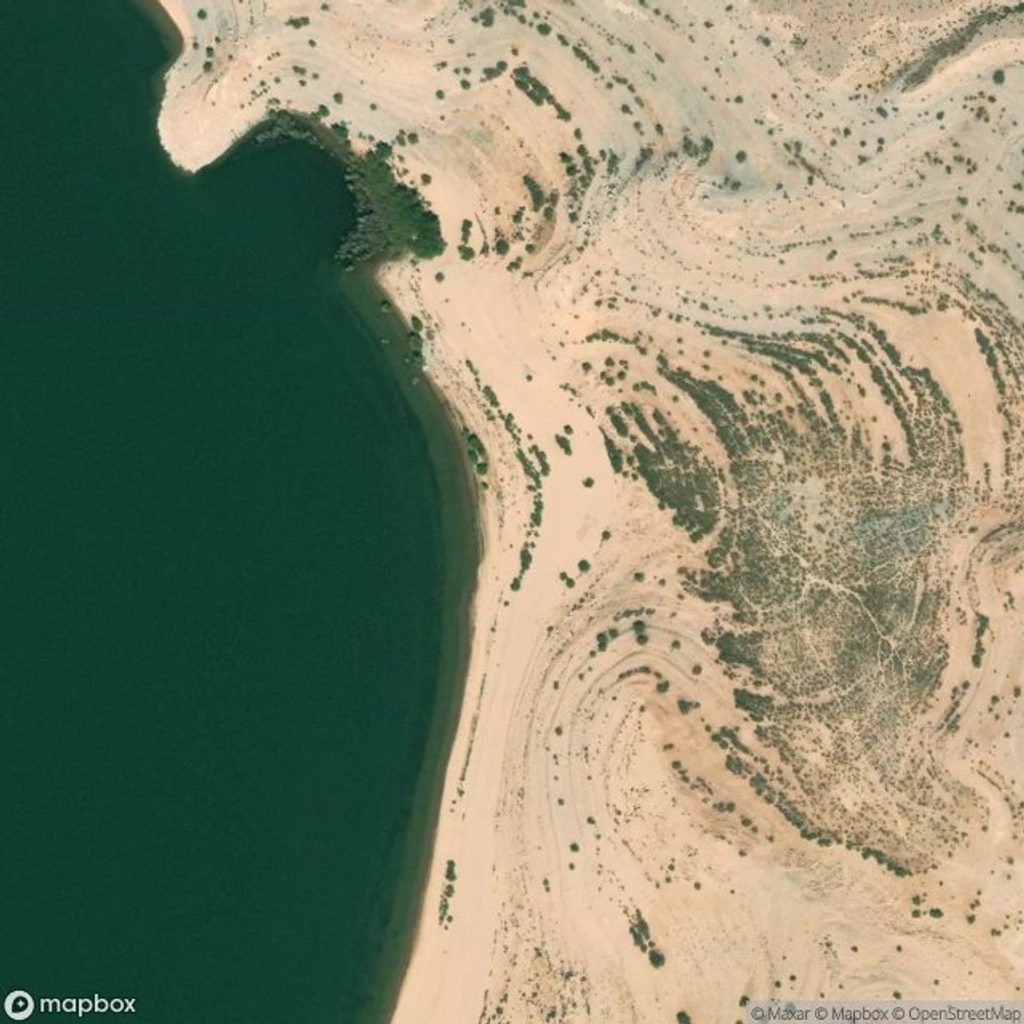
Three Corner Hole is a named bay within the Lake Mead landscape, noted in geological discussions and mapping of the area. It’s a low‑key spot where the lake meets desert hills, and a place to see how water and time shape the shoreline.
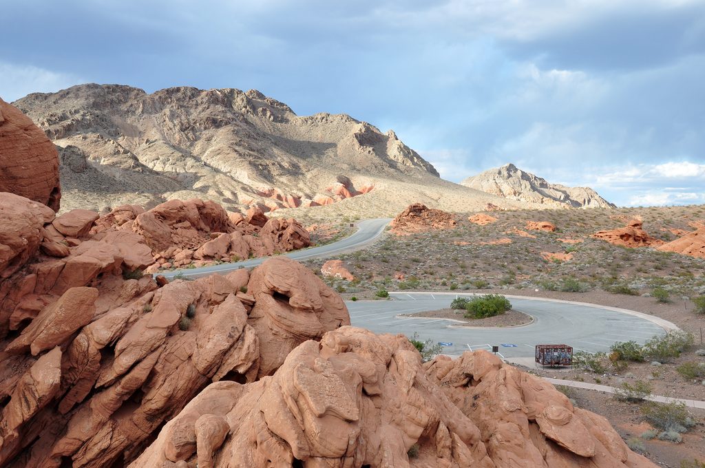
The area has drawn attention from geologists and agencies mapping Lake Mead because of its rock outcrops and the broader geodiversity of the region. It’s part of a landscape the U.S. Geological Survey has actively mapped, contributing to an understanding of complex geology in and around the reservoir.
Lake Mead’s water level has swung significantly over the decades—an average of about 1,176 feet between 1939 and 2003, with an average around 1,143 feet in 2003. Those fluctuations change how much shoreline is exposed, so the bay’s look and the ease of getting to the water can feel different year to year.
Around the lake, you’ll find a mix of rock types and structures that speak to a long, complicated history. Three Corner Hole sits within that mosaic of geologic units and faults, which is why it shows up in geodiversity overviews and digital map efforts. If you enjoy reading the landscape, this is a quiet place to do it.
Our research didn’t turn up developed amenities here. Think of it as a simple, natural shoreline area rather than a built‑up stop. Plan your visit accordingly and be ready for conditions typical of open desert and lakeshore environments.
There are no posted hours in our research. Because lake levels rise and fall, the bay’s character changes across seasons and years—visit when you’re most interested in seeing either broader exposed shorelines (lower water) or more water in the bay (higher lake levels).
Place · 1.3 mi away
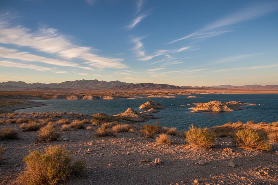
Place · 2.7 mi away
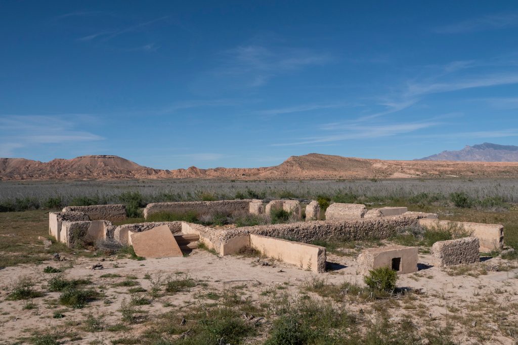
Place · 3.1 mi away
Place · 5.3 mi away
Easy · 3.1 mi away
Easy · 7.6 mi away
Easy · 17.3 mi away
Easy · 17.4 mi away

Parkwolf Tour Guide
