
Place · 0 mi away
Easy
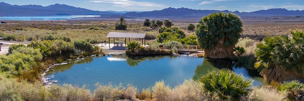
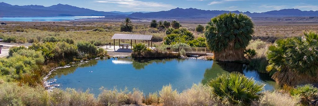
This is a very short, paved loop (about 0.2 miles total) to a warm, desert spring—more of a scenic stroll than a hike. The path is wheelchair‑friendly and leads to a small, clear pool and a leafy ribbon of creek in stark contrast to the surrounding Mojave. Expect picnic tables, grills, and vault toilets at the day‑use area, and a peaceful nook to linger.
From the parking area, the paved walkway reaches the spring pool in minutes with roughly 9 feet of total gain. The pool hosts lots of tiny fish, and the lush vegetation here draws birds—bring a camera and patience if you’re into casual wildlife viewing. While wading is permitted, do not submerge your head due to the risk of a parasitic amoeba. Plan extra time to sit in the shade and enjoy the oasis feel; the walking itself is over quickly.
Rogers Spring and nearby Blue Point Spring are fed by a regional carbonate‑rock aquifer that starts far to the north, around the high country near Ely, Nevada. Groundwater travels south through limestone and dolomite and is forced upward along the Rogers Spring Fault where permeable carbonate rocks meet less‑permeable evaporite deposits. The result: warm water (about 80–86°F) rising to the surface year‑round and feeding this desert oasis.
The springs have seen a few ambitious ideas: an early‑1900s effort to irrigate 500 acres via ditches (one channel nicknamed “Slim Creek” for the laxative effect of the water), a 1938–1943 push to build a waterfowl refuge that never finished, and a mid‑1950s tropical fish hatchery at Blue Point Spring. Today, the area functions as an easy, family‑friendly stop.
You can visit year‑round, but the sweet spot is roughly March through October. Even for such a short loop, the sun can be intense—mornings or late afternoons are more comfortable and better for photos. Off‑peak hours are quieter.
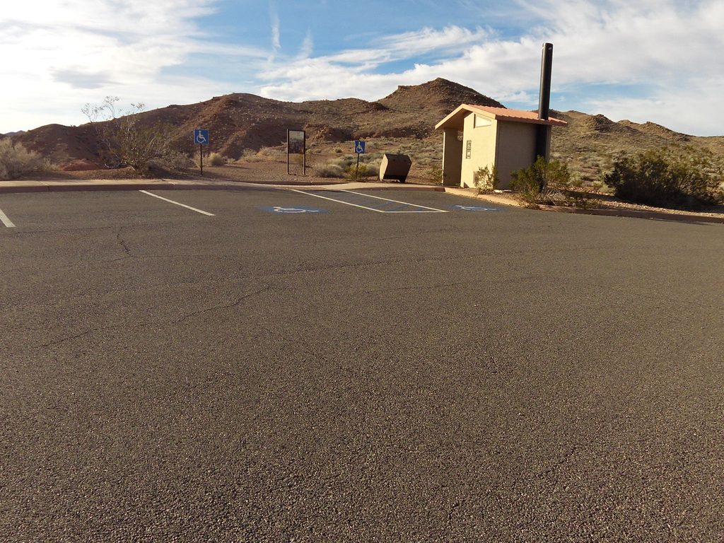
Park at the signed Rogers Spring day‑use area near Overton; small paved lot by the picnic tables and vault toilets. The paved loop starts beside the facilities.
Do not submerge your head in the spring due to Naegleria fowleri; stay on the paved path to protect fragile habitat; extreme sun and heat even on short walks; watch for rattlesnakes.
Place · 0 mi away
Place · 1 mi away
Place · 2 mi away
Place · 2.4 mi away
Easy · 7.1 mi away
Easy · 10.2 mi away
Easy · 10.3 mi away
Moderate · 14.4 mi away

Parkwolf Tour Guide
