
Place · 0.1 mi away
Easy
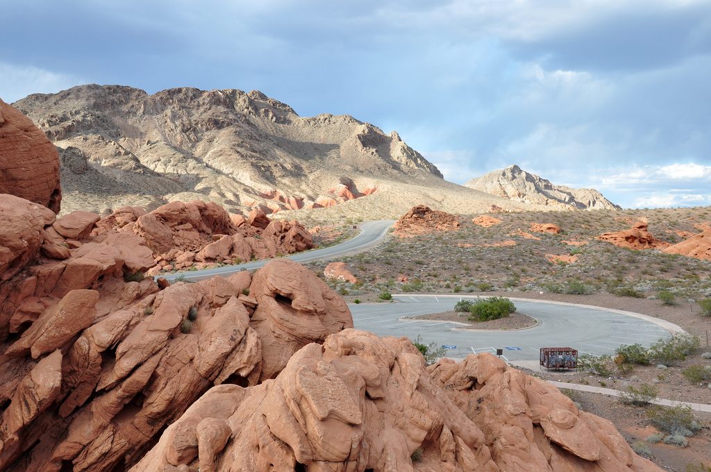
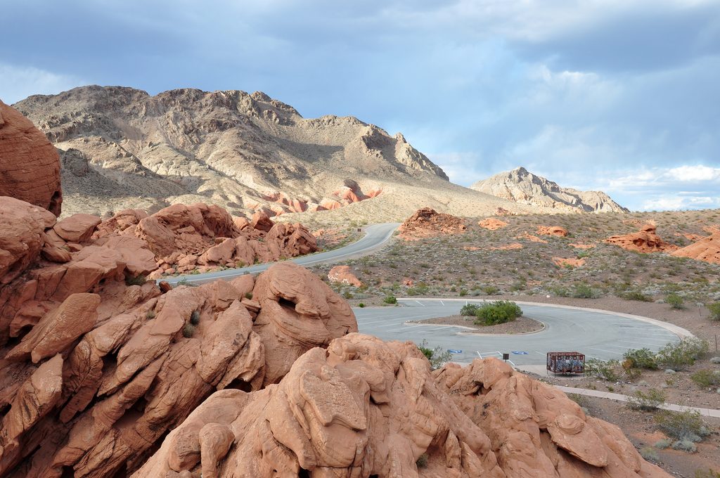
This is a quick, photogenic loop through vivid red outcrops at the Redstone Picnic Area. The standard loop is about 0.5 miles total, mostly flat, and tailor‑made for families or a leg‑stretch on Northshore Road. Expect big color, fun textures, and a whole lot of wow for very little effort.
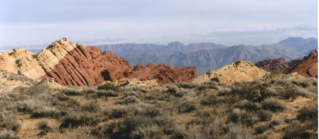
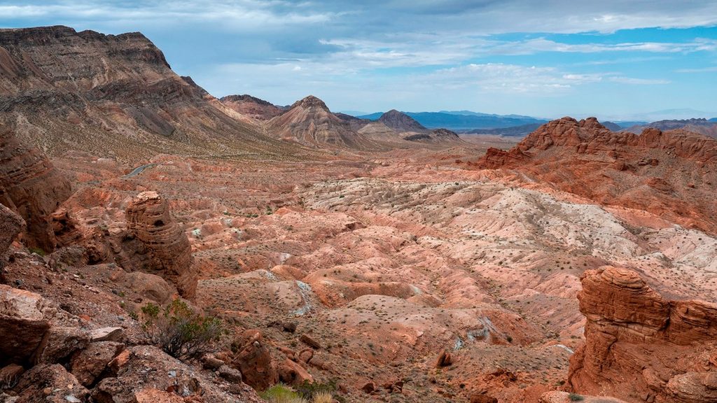
You’re walking among Early Jurassic Aztec Sandstone—ancient wind‑blown dunes turned to rock—pocked with caves, pockets, and small arches carved by weather and time. Interpretive signs at the start decode the geology. The contrast of bright red sandstone against surrounding gray limestone hills makes the photos pop. Right beside the loop you’ll find playful, low‑risk scrambling on the rock.
The outbound tread can be washed out after storms. If you lose the path, angle to the left (east) side of the big red outcrop and you’ll pick it up as it wraps around. After windy days, the sand acts like carbon paper—scan for tracks from kangaroo rats, pocket mice, lizards, and beetles. Dogs are allowed on leash. Facilities at the picnic area include vault toilets, covered tables, and trash receptacles.
Late afternoon into early evening is the money light—the sandstone glows. Mornings are flatter for photography. It’s open year‑round, but this is full desert exposure, so plan accordingly. On pleasant spring and fall weekends, expect company and quicker‑filling parking.
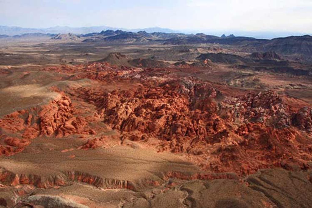
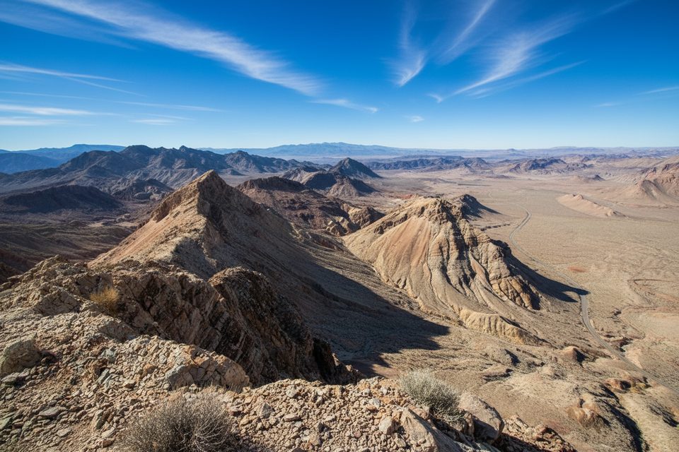
Start from Redstone Picnic Area around Mile 27 on Northshore Road. If you want more after the loop, consider the nearby Northshore Summit Trail for bigger views, or the Bowl of Fire area for a longer, lightly route‑findy outing (not an official trail).
Standard desert playbook applies: sun protection, water, and sturdy footwear. Avoid washes if rain threatens. Sand on slickrock can be surprisingly slippery—watch kids on the steeper knobs.
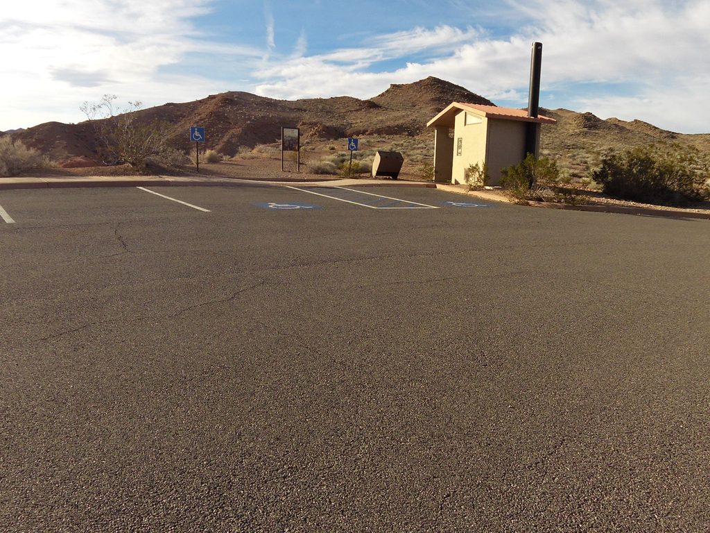
Park at the Redstone Picnic Area on Northshore Road near Mile 27; vault toilets and covered picnic tables at the trailhead.
Flash‑flood washouts can obscure the path; avoid washes if rain threatens, sand on rock is slick, and wayfinding can be spotty—watch kids on the sandstone.
Place · 0.1 mi away
Place · 4.6 mi away
Place · 5.5 mi away
Place · 6 mi away
Easy · 0.1 mi away
Moderate · 6 mi away
Moderate · 6 mi away
Moderate · 6 mi away

Parkwolf Tour Guide
