
Place
Challenging
This is a short-but-strenuous desert ridge climb to 5,334 feet with huge 360° views. Despite the name showing up in Lake Mead trip plans, the route sits inside Gold Butte National Monument on BLM land at the northeast end of the lake. Expect remote vibes, no services, and a summit panorama that stretches across Nevada, Arizona, and Utah.
Plan on 4.5 miles total out-and-back if your vehicle reaches the closer start; parking earlier to spare your paint adds about 2.8 miles round trip (≈7.3 miles total). The line heads up side ridges to the main North Ridge, then south to the summit. Underfoot: dirt low down, increasingly rocky ribs up high. A few craggier steps flirt with easy third‑class if taken direct, but most can be bypassed. Pay attention on descent where the Northeast and North ridges split so you stay on your ascent line.
From the top, you’ll pick out the Las Vegas skyline and the Spring Mountains to the west; Lime Ridge, Tramp Ridge, Virgin Peak, and farther north the Mormon and Pine Valley Mountains; the Jumbo Peak complex and Arizona’s Grand Wash Cliffs to the east; and Lake Mead spreading south. Near the summit are an old radio tower, a working antenna with solar panels and equipment boxes, and a summit register. Ridgetops pass through sparse Mojave Desert scrub (a past fire opened the views), with stretches of broken limestone.
High‑clearance is the minimum; 4WD is the smart call. Brushy tracks can “pin‑stripe” vehicles. Common parking is by the second quail guzzler on Garnet Valley Road; conservative drivers park back at the Scanlon Road junction and walk the extra approach. There are no restrooms, water, gas, or food anywhere along these roads, and cell service is limited.
It’s doable year‑round for prepared parties, but the cooler months are far more comfortable. Many reported ascents cluster in late winter and early spring, with some in December. Start early for shade on the ascent and clearer air for those long‑range views.
Bring the desert 10 Essentials and be fully self‑reliant—help is a long way off. Trekking poles are a plus on the steep, loose sections. Watch footing on rocky ribs, mind handholds in craggy spots, and stay alert for rattlesnakes. Navigation is straightforward in clear weather, but note the ridge splits on the way down.
Dogs are generally allowed on BLM lands; keep them leashed/under control and pack out waste. Want a mellow lakeshore outing instead? The nearby Bonelli Bay route is an easier, scenic walk to the water with minimal elevation gain.
High-clearance pullout by the second quail guzzler on Garnet Valley Road; cautious drivers can park at the Scanlon Road junction and walk the extra 1.4 miles each way.
Very remote with no services and limited cell; high-clearance (4WD safer) required; loose rock and short craggy steps; hot, exposed desert; watch the North/Northeast ridge split on descent.
Place
Place
Place
Place
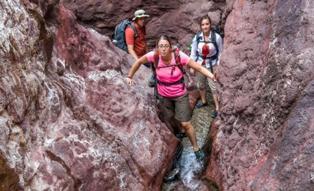
Challenging
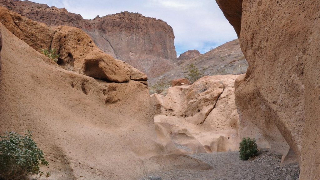
Challenging
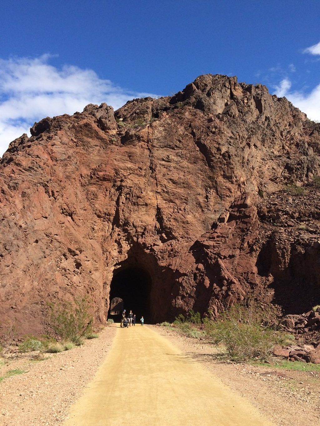
Easy
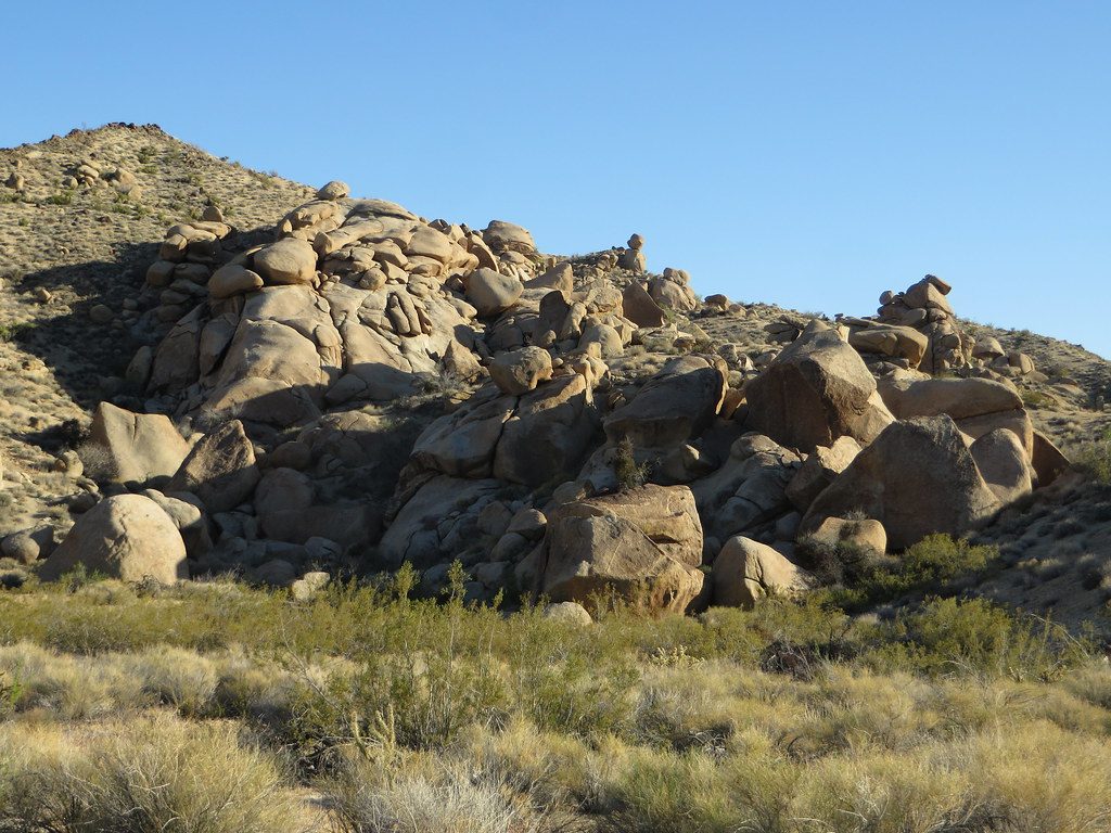
Moderate

Parkwolf Tour Guide
