
Place
Moderate
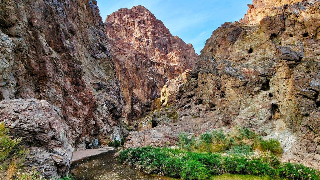
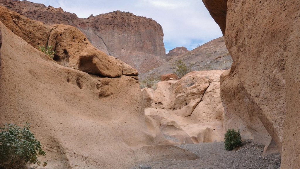
This is a rugged desert wash hike that peeks into a volcanic gorge warmed by geothermal springs. Most hikers treat it as an out-and-back to an overlook above a massive drop; continuing to the hot springs and the Colorado River is a serious technical canyoneering undertaking. Expect deep sand, little shade, and polished volcanic rock.
For non-technical hikers, the standard outing is roughly 3.6–4.0 miles total out-and-back to the top of a 20‑ft pour-over that overlooks an approximately 330‑ft pour-over below. That upper segment includes easy wash walking with one short 3rd‑class downclimb before the gorge. Some guides describe a similar 3.8‑mile loop variation in the upper canyon. Reaching the actual Boy Scout Hot Spring from above requires advanced canyoneering, including a very long free‑hanging rappel; casual hikers should turn around at the overlook or approach the hot spring from the river side.
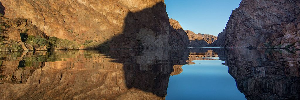
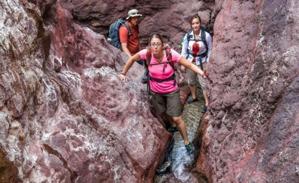
The canyon cuts through dark volcanic rocks that give nearby Black Canyon its name. Narrows feature sculpted, water‑polished passages and intermittent flow. In the lower canyon (beyond the hiking turnaround), warm water emerges and pools before meeting the Colorado River. The heat source is groundwater moving along major faults—springs discharge where those faults intersect fractured volcanic rock.
This landscape sits in the Basin and Range province, stretched and faulted roughly 17–20 million years ago, then draped by intense Miocene volcanism. The nearby mesas and the Black Canyon walls showcase that volcanic story. Thermal waters rise along faults such as the Salt Cedar and Palm Tree faults, warming Boy Scout Canyon’s lower reaches.
Open year‑round and hikeable in winter, but daylight is short then and the canyon can slow you down—start early. Spring and fall offer the most comfortable temperatures. Summer heat and sun exposure make this a punishing midday outing. Crowds are lighter than the area’s headline hot spring hikes.
As a hike, it’s a short, sandy, scenic foray with a dramatic turnaround view—good but not a must‑do. For experienced canyoneers, the lower canyon and river finish make for a memorable, committing day. If you want a less technical hot spring hike in the same area, consider nearby alternatives.
Reach the canyon via Utah St > Canyon Point Rd > Boy Scout Canyon Rd. Park at the end of Boy Scout Canyon Road; high‑clearance 4WD can continue about 2.2 miles down the sandy wash before the wilderness boundary, otherwise start on foot from the road end.
A roughly 330‑ft free‑hanging rappel blocks the casual hiking route; only expert canyoneers with full equipment should continue. Do not rely on fixed ropes. Expect deep sand, limited shade, flash‑flood potential, and slippery, water‑polished rock. Hot‑spring water can be extremely hot and warnings note Naegleria fowleri exposure risk.
Place
Place
Place
Place
Challenging
Challenging
Easy
Moderate

Parkwolf Tour Guide
