
Place
Easy
A quick, no-shade ridge ramble to a dramatic cliff-edge perch above Lake Mead. Officially listed at 2.9 miles total, out and back, this is an easygoing outing with big-sky views the whole way—perfect when you want a payoff without a half-day commitment. It’s not a wilderness epic, but the perspective over Callville Bay and the lake’s stark “bathtub ring” makes it memorable.
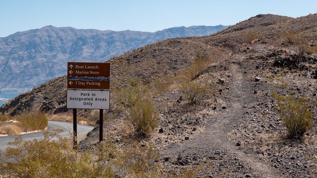
Start at the dump‑station parking lot across from Callville Bay Campground. A user path climbs immediately from the roadside onto open, rocky slopes. The main tread trends southwest, skirting a couple of low bumps before reaching a natural cliff-edge viewpoint around the halfway point. Many hikers turn around here. If you continue, the path drops toward the lakeshore—remember you’ll need to re‑ascend on the way back. Expect unsigned junctions and occasional spur paths, but the open terrain makes it easy to relocate the main line.
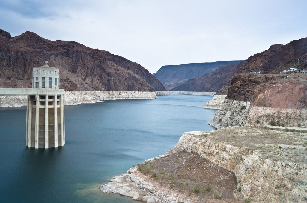
You’ll have uninterrupted views over Callville Bay and the wider expanse of Lake Mead almost the entire time. From the rim, the lake’s historic high‑water mark rings the basin like a contour line, and the marina sits noticeably lower than in past decades. On clear days you can pick out distant desert high points on the horizon.
Plan on roughly 2.9 miles round trip and about an hour at an unhurried pace. Elevation change is modest—about 200–220 feet depending on how far you explore—and footing is typical desert dirt and rock. With no shade or wind shelter, conditions can feel harsher than the forecast would suggest.
February through October sees the most use. In warm months, go early or late for cooler temps and softer light; avoid midday heat. Calm winter days can also be pleasant, but bring layers for wind on the rim. There’s no seasonal closure, just pick your weather window wisely.
Trailhead parking, restrooms, potable water, and trash are available in the Callville Bay area (campground, marina building, and the nearby ranger station). The path itself is unsigned and unmaintained. You’re inside a fee area—carry your park pass. Dogs are allowed but must be leashed (maximum 6 feet) and under control; pack out waste.
Carry more water than you think you need and full sun protection. Stay mindful near the cliff edge—there are no guardrails. If you venture beyond the rim toward the water, remember that the return includes a noticeable climb. For a bigger day and higher vistas elsewhere in the area, longer summit hikes visible from this viewpoint exist, but this route wins for convenience and quick scenery.
Park at the dump-station lot across from Callville Bay Campground in the Callville Bay area.
Exposed, no-shade route with unprotected cliff edges and occasional spur trails—bring plenty of water, sun protection, and watch footing near drop-offs.
Place
Place
Place
Place
Challenging
Challenging
Easy
Moderate

Parkwolf Tour Guide
