
Place
Moderate
This is a long, user-mapped day out to the Saddle Island area of Boulder Basin, reached on the River Mountains Loop Trail corridor. Despite the “Loop” in some app names, expect an out-and-back totaling 15.8 miles. It’s a multi‑use route popular with cyclists, with broad lake panoramas and an up‑close look at the steep, fault‑bounded flanks of Saddle Island near the marinas.
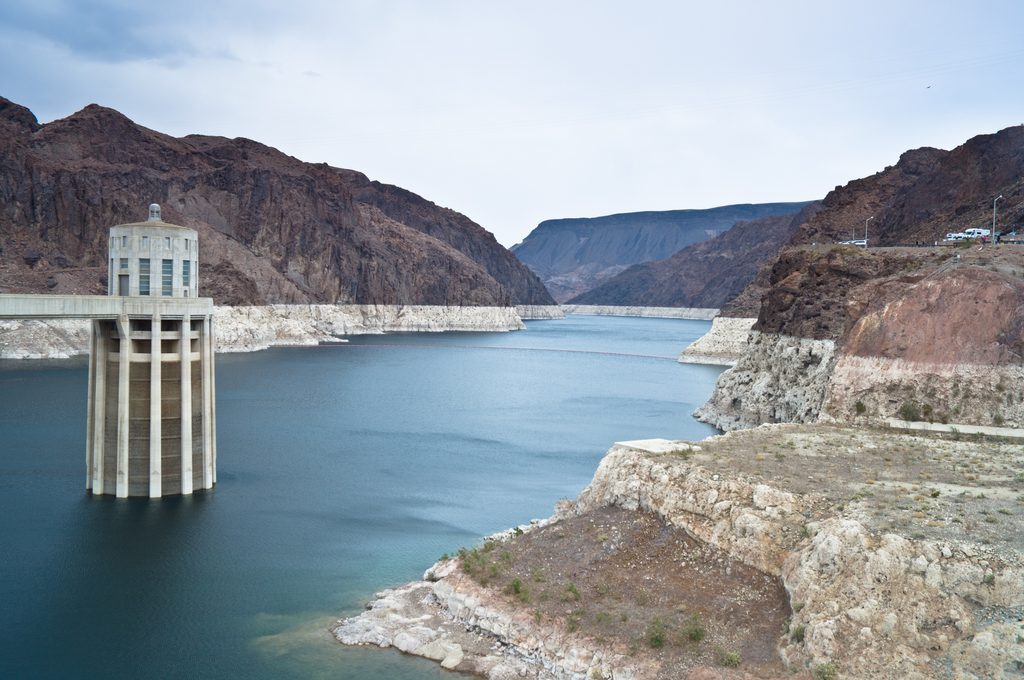
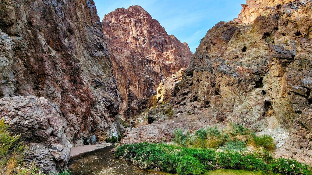
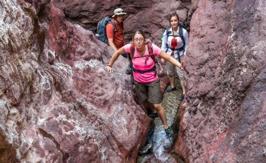
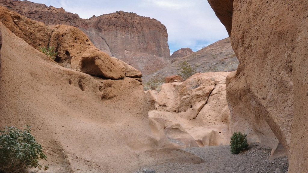
As you approach the Boulder Basin shoreline, the Las Vegas Boat Harbor and Hemenway Harbor spread out below, with Saddle Island forming a dramatic escarpment along the lakeshore. On clear days you can spot Frenchman Mountain on the skyline. Keep an eye out for occasional shallow slots and narrow gullies along the way—good to admire from a distance rather than enter.
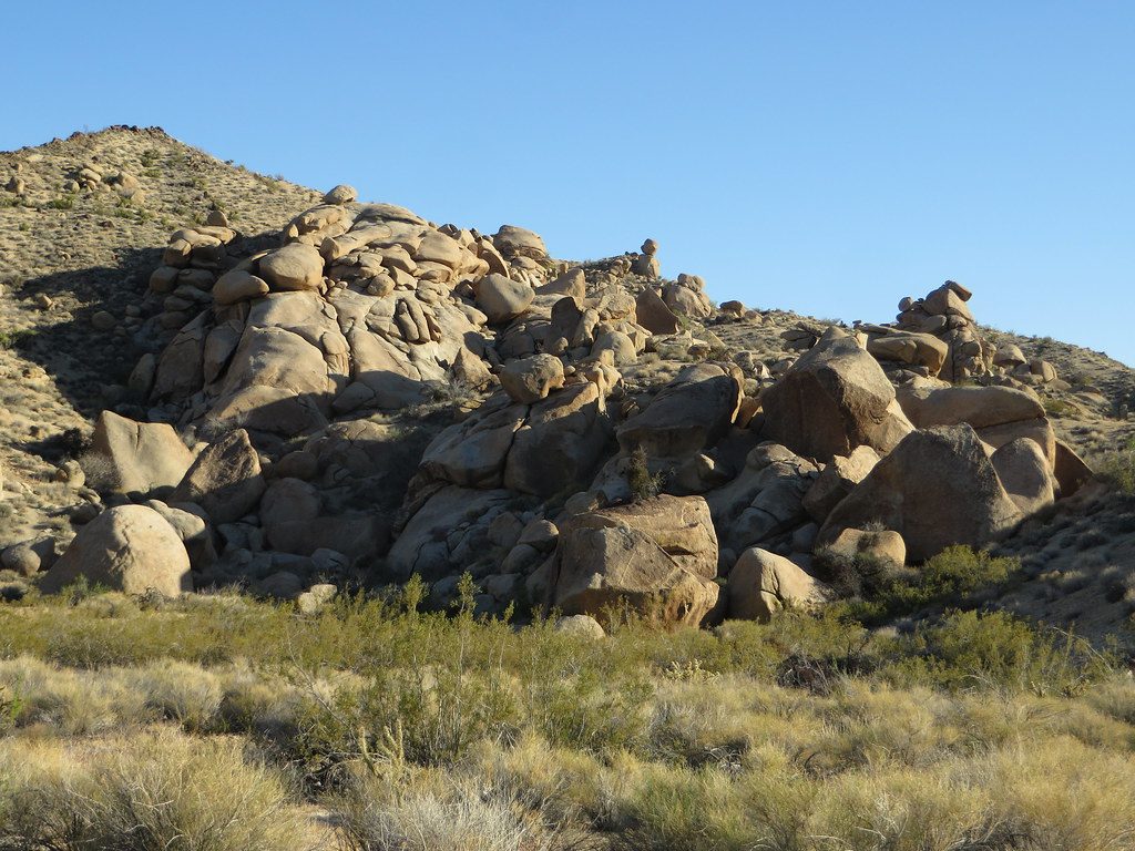
Saddle Island exposes some of the oldest rocks in the region—hard, Precambrian metamorphic rocks about 1.7 billion years old. The west side aligns with the Saddle Island Fault and a major detachment system: a textbook low‑angle normal‑fault zone that hauled upper‑plate rocks westward and left wonderfully deformed gneiss and schist on display. In short: world‑class desert structure geology, right beside a big reservoir.
The line described here is mostly compact dirt with minimal pavement; it’s bumpy in places. Road bikes will feel punished; other bikes and hikers do fine. Expect a mix of users—this corridor is designed for non‑motorized travel—so keep right and give a friendly heads‑up when passing. Shade is essentially nonexistent.
You can do this year‑round, but it’s far better in the cooler months (roughly September through April) or during early/late hours in warmer weather. Summer heat can be extreme; bring more water and salty snacks than you think you’ll need.
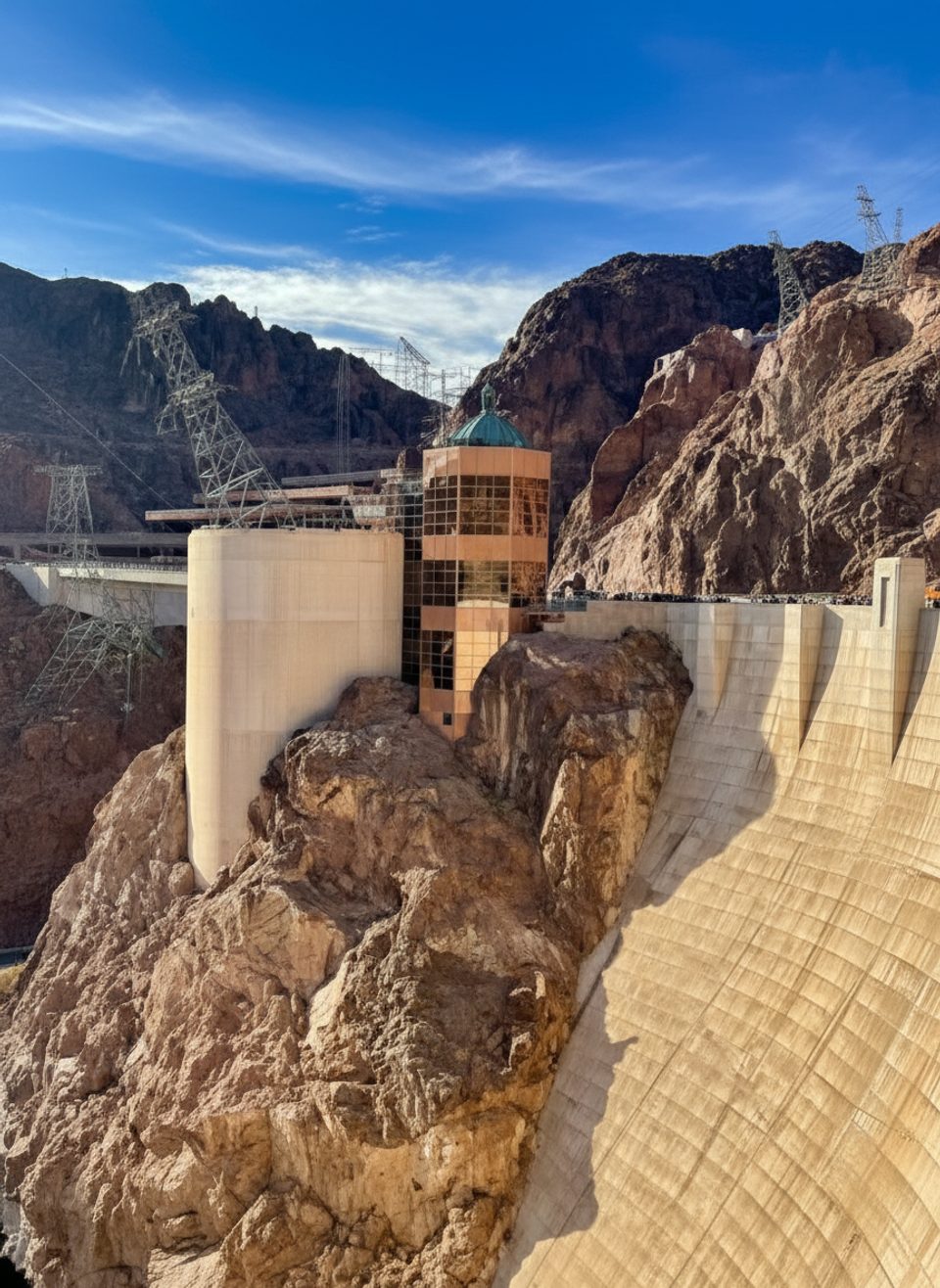
There isn’t a formally signed “Saddle Island Loop Trail” by that exact name. Most people start from a River Mountains Loop Trail trailhead and head toward Saddle Island, turning around near the marinas. The area is within a fee zone. Some trailheads along this corridor have pit toilets and trash, and drinking water is available near the Lake Mead Visitor Center. Dogs are allowed but must stay leashed (6 ft). The paved segments of the River Mountains Loop are accessible, but this Saddle Island variant’s long dirt stretches are generally not. Heed any posted closures around water‑intake infrastructure near Saddle Island.
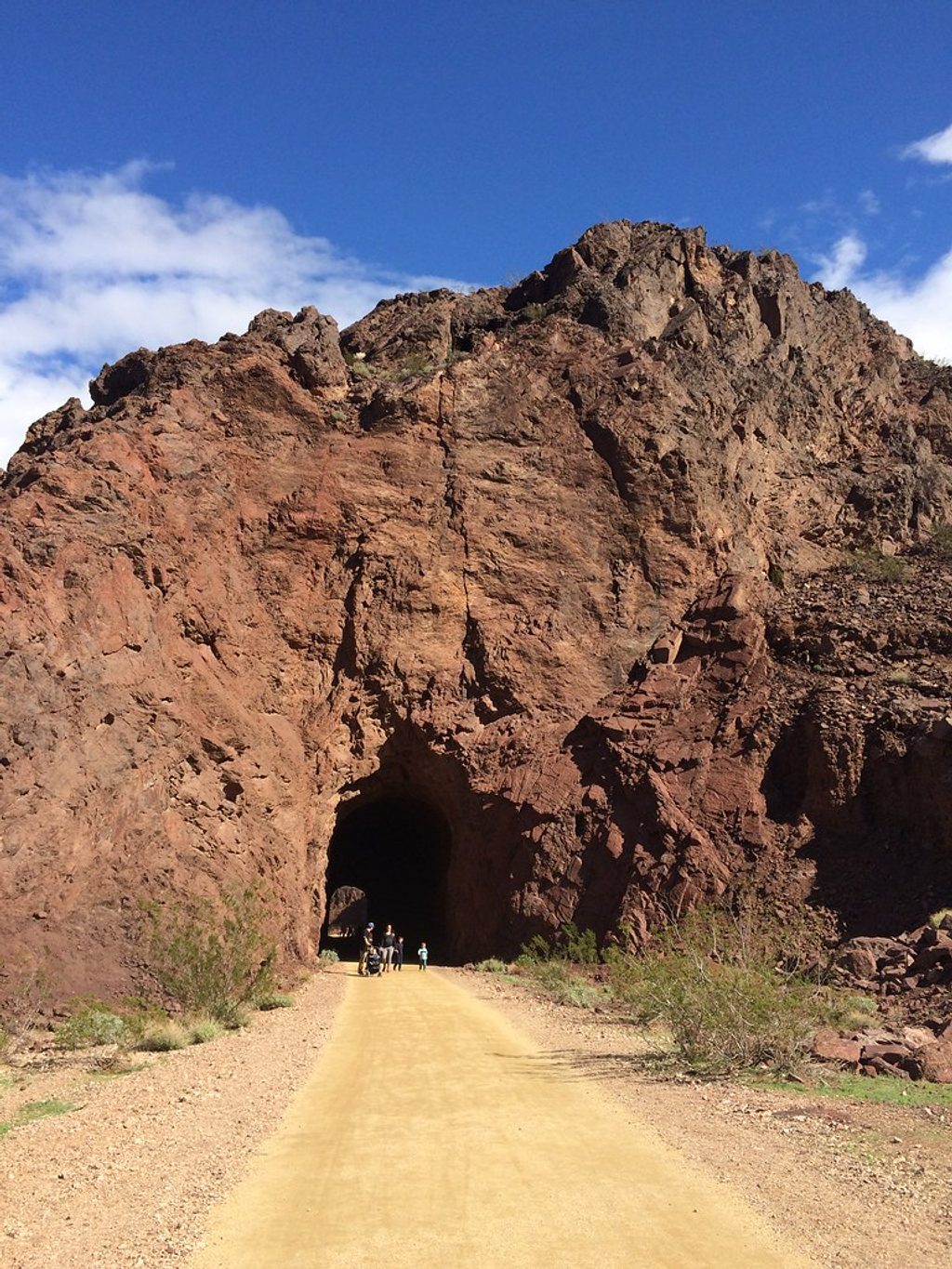
If you’re into big‑water views, long desert miles, and A‑grade geology, yes. If you came for a short, official, waymarked “island loop,” this isn’t that—set expectations accordingly. For a shorter, crowd‑pleasing alternative with lake views, consider the nearby Historic Railroad Trail.
Use a signed River Mountains Loop Trail trailhead within Lake Mead NRA; common approaches are from the Northshore Road corridor or near the Lake Mead Visitor Center. Display your park pass.
Extreme heat and no shade; frequent cyclists on narrow segments; bumpy compact‑dirt stretches; and posted restrictions near the Saddle Island water‑intake infrastructure—do not enter closed areas.
Place
Place
Place
Place
Challenging
Challenging
Easy
Moderate

Parkwolf Tour Guide
