Parking
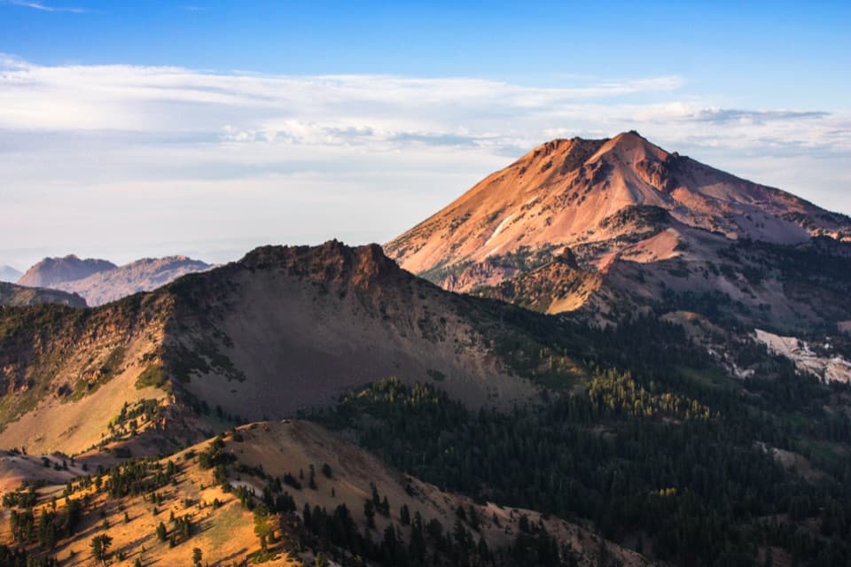
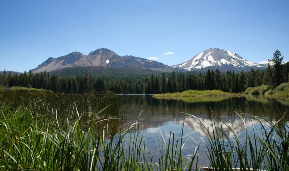
Use the signed Terrace Lake turnout on Lassen Peak Highway, about 9 miles from the southwest entrance. It is a roadside pullout with limited parking, not a developed lot.
#9 of 59 trails in Lassen Volcanic
Lassen Volcanic National Park, CA
Three alpine lakes, a steep return, and Lassen Peak views.
Overview
Map & elevation
Plan your hike

The highest, rockiest slopes around here are a summer buffet for grizzly bears.
Lassen Volcanic Tour Guide
Parkwolf is a GPS audio tour guide for Lassen Volcanic National Park. As you drive, it chimes in with what’s ahead: hidden gems, upcoming stops, history, geology, and wildlife, right through your car’s speakers.
See the Lassen Volcanic audio tourRecorded for this trailhead
Terrace Lake Trailhead: Three Lakes or Two“You're coming up on Terrace Lake trailhead, the start of a walk to three alpine lakes beneath Reading Peak.”
Plays as you drive up to this trailhead in the Parkwolf Lassen Volcanic Tour Guide.
More stories near here in the app
“Fantastic app with many points of information… It’s great to just turn on while you’re driving and it gives you an audio tour of the national Park. We love it!!!!”


Trail guide
Terrace, Shadow, and Cliff Lakes Trail is a 3.4-mile out-and-back from the signed Terrace Lake turnout on Lassen Peak Highway. It drops about 650 feet from an 8,000-foot start into cirques below Reading Peak, visiting Terrace Lake, Shadow Lake, and Cliff Lake before returning along the same line. Allow about three hours with time at the water. Published totals vary: the mapped line and trail signs support about 1.7 miles each way, while a separate route description still gives 4 miles. Use 3.4 miles for planning and leave some extra time rather than rushing.
The trail drops quickly through hemlock woods. After 0.2 mile, the left fork heads toward Hat Lake; take the right branch to Terrace Lake. The first lake is small, and the route climbs briefly away from it before descending toward Shadow. Continue along Shadow's south shore, then follow the trail through open woods and meadow for over half a mile to the Cliff Lake junction. The final branch crosses a low moraine to the lake. Turn around there; this is an out-and-back, not a loop.
The mileage sounds modest, but the route loses about 650 feet on the way in and makes you climb it back after the lakes. The high starting elevation matters, especially if you are not used to hiking near 8,000 feet. The park rates the hike moderately strenuous and advises trekking poles for the steep downhill toward Shadow; poles can also help on the climb back. Parts of the route are sun-exposed, and the tread has uneven rocks and roots. The north-facing slopes can hold snow later than lower park trails, so check current road and trail conditions before driving in.
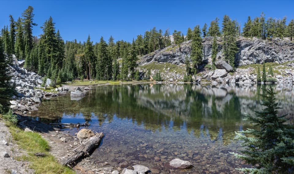
The three lakes sit in cirques below the north side of Reading Peak. Terrace has clear water and a rocky, forested edge where the cliffs can reflect on a calm day. Shadow is the largest; from its western side you can look toward Lassen Peak. Beyond it, the forest opens into meadow before the Cliff Lake branch, where pale, boulder-strewn slopes frame a shallower shoreline. The final leg changes the walk again: there is more open sky, a moraine crossing, and a more rugged basin feel than at the first lake.
The main payoff is seeing three distinct alpine lakes in one walk rather than reaching a single summit or waterfall. Late-summer flowers can make the shoreline and meadow worth a closer look; a late-September field report noted tundra asters by Terrace Lake, though blooms vary from year to year. For photos, calm water at Terrace can mirror the cliffs, while the west side of Shadow gives the clearest Lassen Peak backdrop. Keep a little foreground shore or trail in the frame so the picture reads as a place in the basin, not just blue water.
You can make this shorter by turning back at Terrace Lake, about 1 mile round trip, or Shadow Lake, about 1.6 miles round trip. Both options keep the steep initial descent and uphill return but skip the extra open stretch and final moraine to Cliff. The full route earns its added effort if you want all three lakes and have time for the longer climb back. Start at the signed roadside turnout; parking is limited, and there is no developed lot at the trailhead. Pets are not allowed on park hiking trails. The seasonal cafe at Kohm Yah-mah-nee Visitor Center is a separate stop near the southwest entrance, not a service at the turnout.
Wildlife
 103 sightingsBlack BearMost seen around 7 PMSighting map
 44 sightingsBald EagleMost seen around 7 AMSighting map
 348 sightingsMule DeerMost seen around 7 PMSighting map
 17 sightingsSandhill CraneMost seen around 6 AMSighting map
 47 sightingsGreat Blue HeronMost seen around 7 AMSighting map
 12 sightingsGreat EgretMost seen around 7 AMSighting map
Sighting maps show where each species has been reported across Lassen Volcanic. Wildlife moves, so no sighting is guaranteed.
Keep exploring
 ModerateShadow Lake Shuttle Trail3.7 mi · 2.5 hr · At the trailheadThree lakes, then a mostly downhill walk to Summit Lake
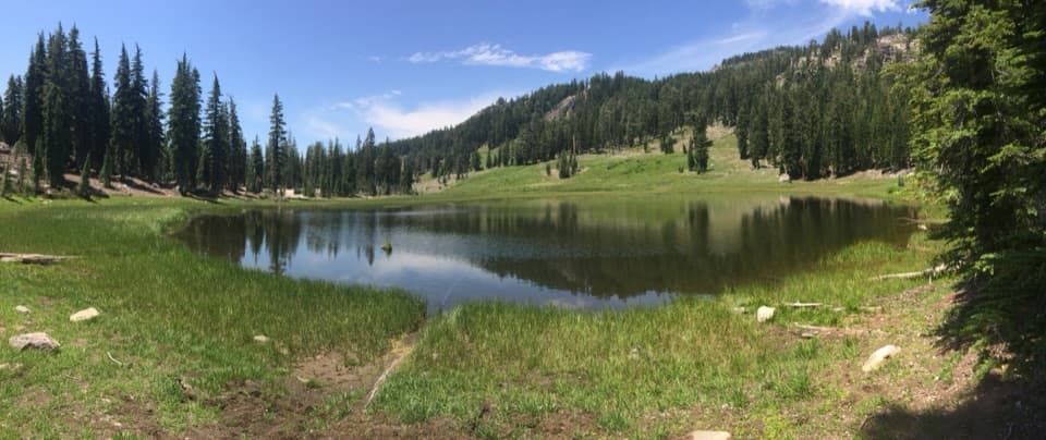 EasyCold Boiling Lake Trail1.6 mi · 54 min · 1.1 mi awayA short, mostly level walk to a lake that may still bubble.
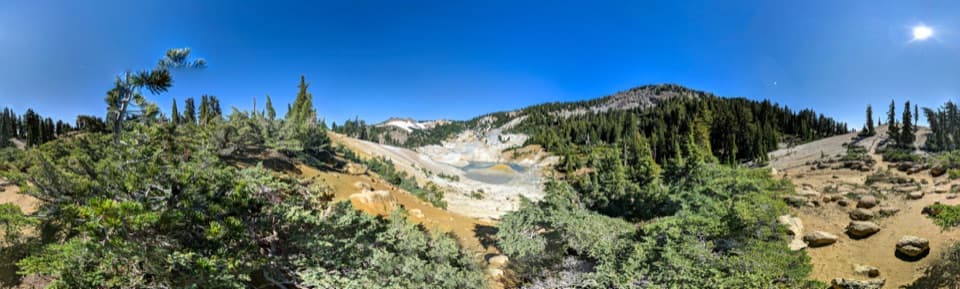 ModerateBumpass Hell via Cold Boiling Lake5.2 mi · 3 hr · 1.1 mi awayHike to Bumpass Hell from the east, via Cold Boiling Lake.
 ChallengingLassen Peak Trail5 mi · 4.5 hr · 1.4 mi awayCinder slopes and ridge switchbacks reach a volcanic summit.
 EasyCrumbaugh Lake Trail2.6 mi · 1.5 hr · 1.4 mi awayTwo lakes, muted bubbles, and a meadow below Mount Conard.
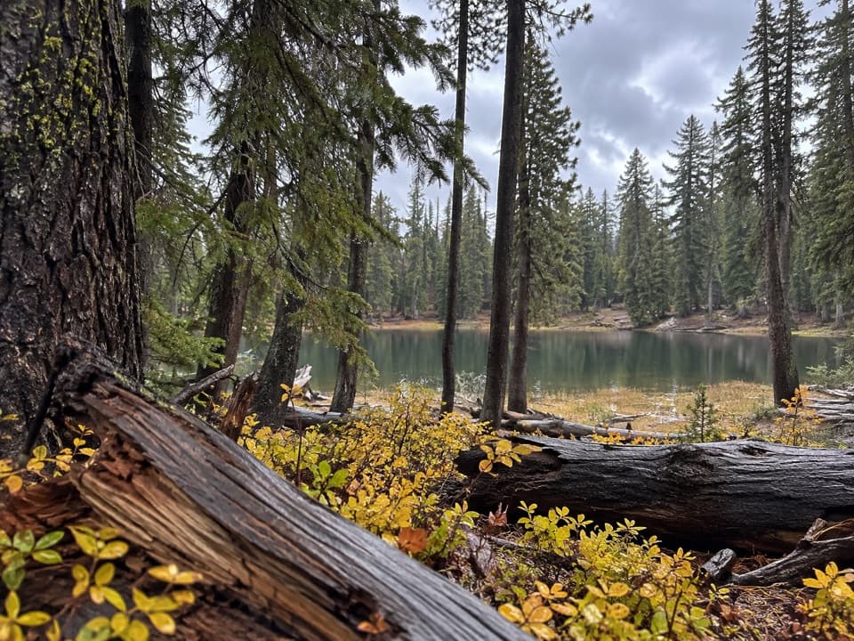 ModerateBench Lake Trail3.8 mi · 2.3 hr · 1.5 mi awayA small lake below cliffs after a bridge over Kings Creek.
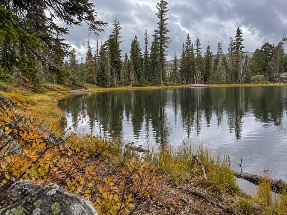 ModerateSifford Lakes Trail6.4 mi · 3.5 hr · 1.5 mi awayA creekside loop links a 50-foot falls to high-country lakes.
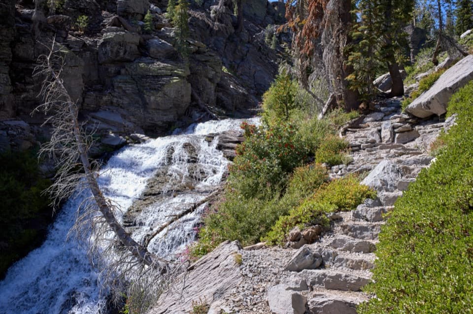 ModerateKings Creek Falls Trail2.8 mi · 2 hr · 1.5 mi awayA waterfall loop ends beside the creek on steep stone stairs.
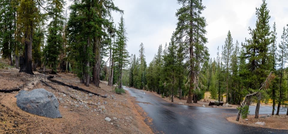 Picnic area · 1.2 mi awayKings Creek Picnic AreaA shaded picnic stop with a short walk to a bubbling lake.
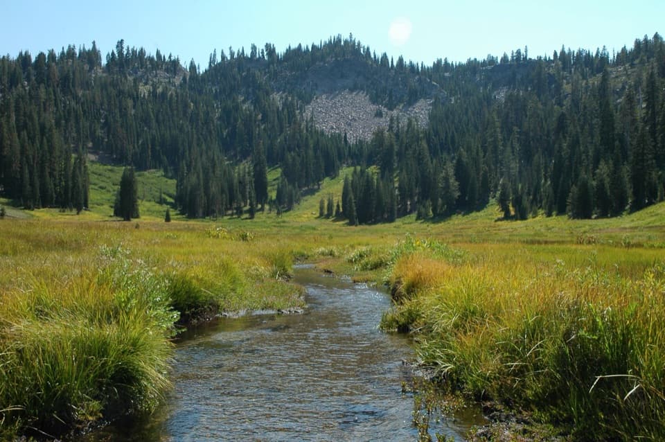 Sight · 1.2 mi awayParadise MeadowsA stream threads a high meadow beneath a rocky glacial bowl.
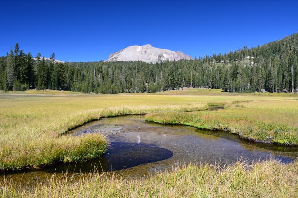 Scenic pullout · 1.3 mi awayKings Creek Meadow ViewpointA winding creek crosses a seasonal meadow beneath Lassen Peak.
 Scenic pullout · 1.4 mi awayLassen Peak Scenic VistaA roadside portrait of Lassen Peak without the summit hike.Sight · 1.4 mi awayCold Boiling LakeA short hike to a high-country lake with shy gas bubbles.
 Sight · 1.6 mi awayLassen PeakA strenuous summit climb on one of the world’s largest plug domes.
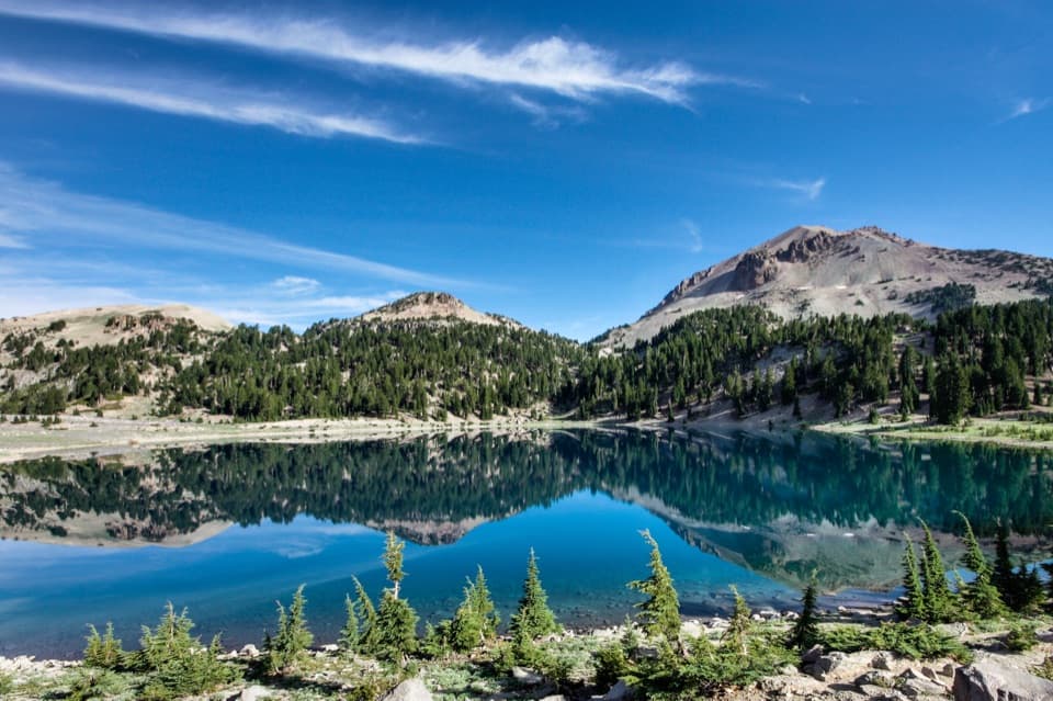 Sight · 1.7 mi awayLake HelenA blue alpine lake beneath Lassen Peak can stay icy into summer.
 Sight · 1.7 mi awayBumpass HellWalk boardwalks among bubbling pools and steaming vents in a 16-acre basin.
Parkwolf’s Lassen Volcanic ranking

The audio tour guide for the drive, plus offline maps, trails, and wildlife heatmaps for when the signal drops.