
Place · 2.2 mi away
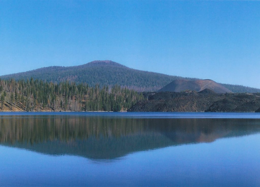
Prospect Peak tops out around 8,338 feet and rewards the steady climb with big, wraparound views. It’s a quieter alternative to the park’s headline hikes, and the approach spends much of its time in cool forest before breaking out to a broad, volcanic summit crater.
Plan on roughly 7.5–8 miles round-trip and about 2,250–2,300 feet of gain. Start from the Butte Lake area on the Cinder Cone Trail; in roughly 0.4–0.45 miles, take the signed right turn for Prospect Peak. From there, it’s a consistent climb on an infrequently traveled path. Expect stretches of volcanic ash underfoot—like hiking in sand—which makes the ascent and descent more tiring. Trail markers exist on trees but can be sparse; many hikers prefer to use GPS to stay on track, especially on the way down.
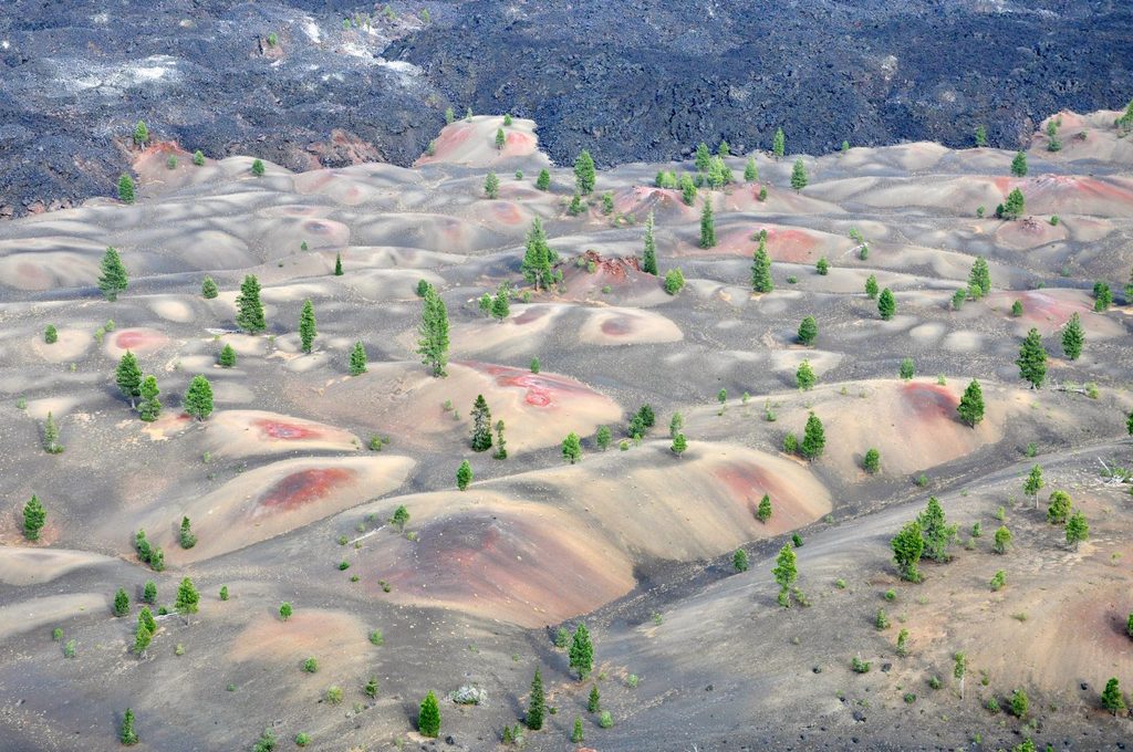
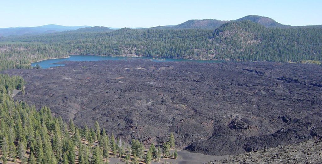
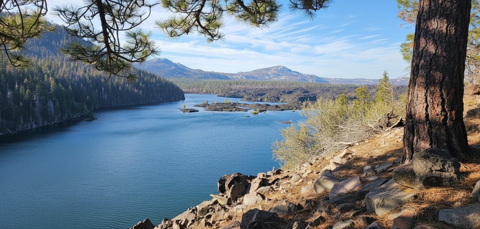
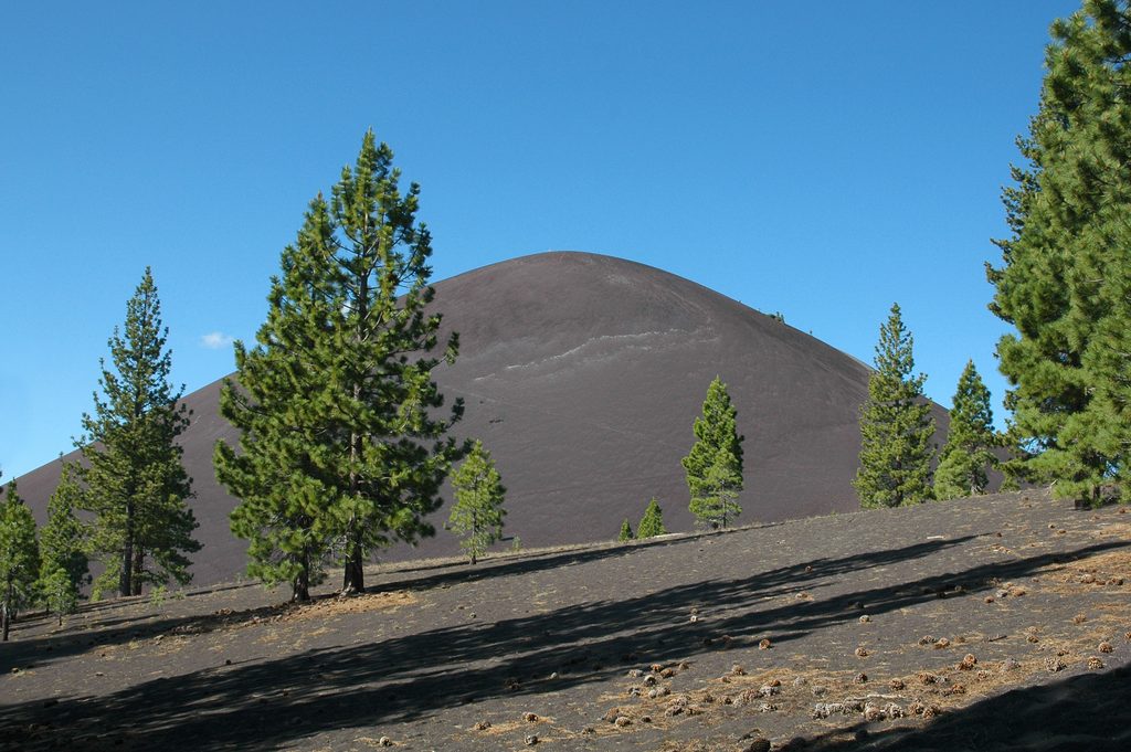
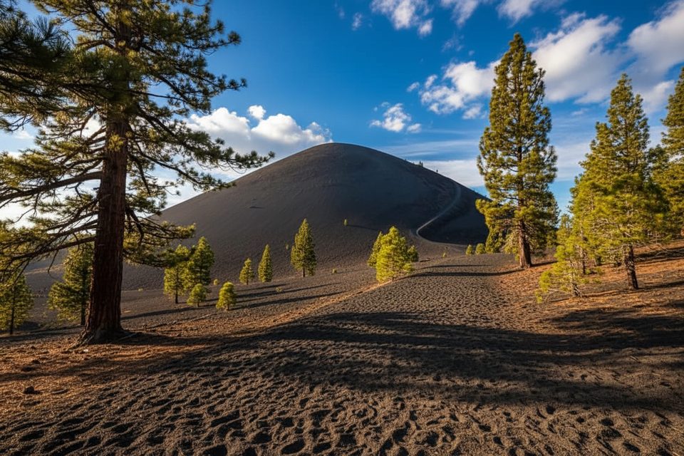
From the summit rim, you’ll get panoramic views of Cinder Cone, the Painted Dunes, Fantastic Lava Flows, Butte Lake, Lassen Peak, and even distant Mount Shasta and Mount McLoughlin on clear days. A short loop around the forested crater rim unlocks different angles without much extra effort. Keep an eye out for the USGS survey marker at the top.
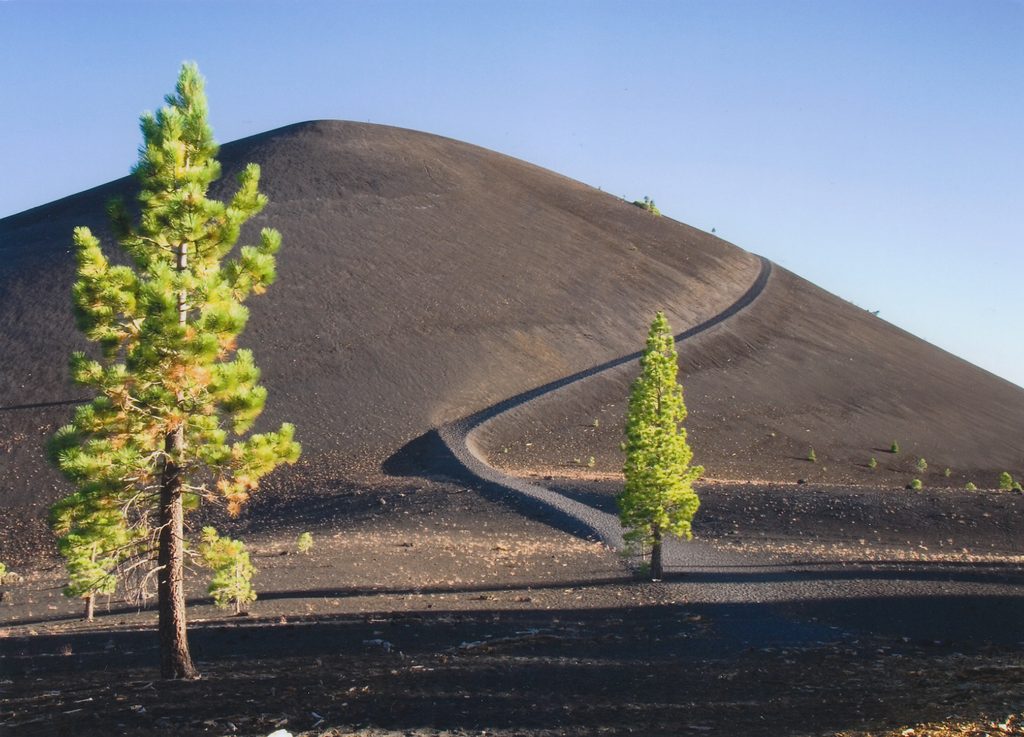
Prospect Peak is a shield volcano capped by a cinder cone—part of the park’s rare concentration of volcano types. The first stretch of trail follows the historic Nobles Emigrant Trail. A Forest Service fire lookout stood here from about 1912 to 1935; while the structure is gone, weathered timbers remain.
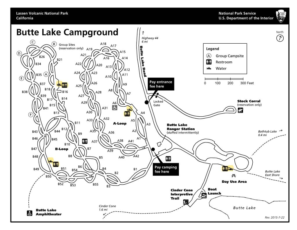
Reach the trail from CA-44 via Butte Lake Road (gravel) for about 6 miles to the Butte Lake area; park near the boat launch signed for Cinder Cone. Restrooms are available at the adjacent Butte Lake Campground, but there are no facilities on the trail or at the summit. Cell service is spotty overall, with some reception sometimes reported on top. Standard park entry fees apply.
Summer through fall is the sweet spot after snow has melted; winter and spring often mean snow-limited access to Butte Lake. This is a low-crowd hike, even on weekends, but starting early pays off for cooler temps and steadier footing. In fire season, smoke can mute the long-range views—clear mornings usually beat hazy afternoons.
Black bears and mountain lions live here. Make noise in dense forest, know encounter protocols, and store food properly at your vehicle or campsite. Carry ample water (2–3 liters per person is a good target), consider trekking poles for the ashy sections, and practice Leave No Trace.
Place · 2.2 mi away
Place · 2.3 mi away
Place · 2.3 mi away
Place · 2.9 mi away
Moderate · 2.3 mi away
Challenging · 2.4 mi away
Moderate · 2.4 mi away
Moderate · 5.3 mi away

Parkwolf Tour Guide
