Parking
Start at the Butte Lake parking/day-use area. Follow the Butte Lake Trail to the junction for Widow Lake.

Lassen Volcanic National Park, CA
A long walk through meadow and boulder field to a backcountry lake.
Overview
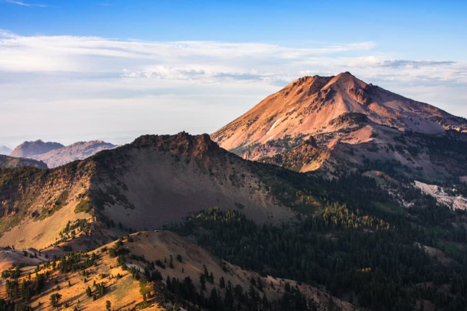
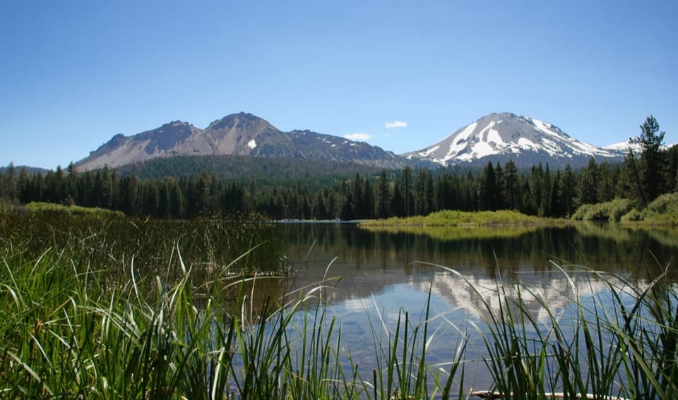
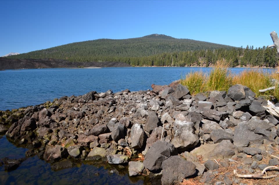
Widow Lake is set among forest that still shows the effects of the 2021 Dixie Fire. The meadow and broken volcanic rock give the walk some variety before the lake comes into view, and the lakeshore is the natural place to stop for a real break. For a photo, include the reeds and downed wood at the water’s edge so the lake doesn’t become a plain strip of blue.
 Parkwolf’s verdictThe payoff
Map & elevation
Plan your hike

The highest, rockiest slopes around here are a summer buffet for grizzly bears.
Lassen Volcanic Tour Guide
Parkwolf is a GPS audio tour guide for Lassen Volcanic National Park. As you drive, it chimes in with what’s ahead: hidden gems, upcoming stops, history, geology, and wildlife, right through your car’s speakers.
See the Lassen Volcanic audio tourRecorded for this area
Butte Lake and Cinder Cone“You're nearing Butte Lake, where blue water meets rough black lava. Stop for a picnic, a swim, or a paddle in a canoe or kayak; motorboats aren't allowed.”
Plays near this trailhead in the Parkwolf Lassen Volcanic Tour Guide.
More stories near here in the app
“Fantastic app with many points of information… It’s great to just turn on while you’re driving and it gives you an audio tour of the national Park. We love it!!!!”


Trail guide
Butte Lake to Widow Lake is an out-and-back into Lassen Volcanic’s east-side backcountry, starting at the Butte Lake parking and day-use area and ending beside Widow Lake. From that access, the full walk is about 7.7 miles round trip, with roughly 1,170 feet of climbing; allow 3.5 to 4 hours. The official trail table lists 4.5 miles round trip but doesn’t say where its measurement starts, so use the longer parking-area total to plan. I’d save this for a day when you want the walk itself, not just a quick lake stop.
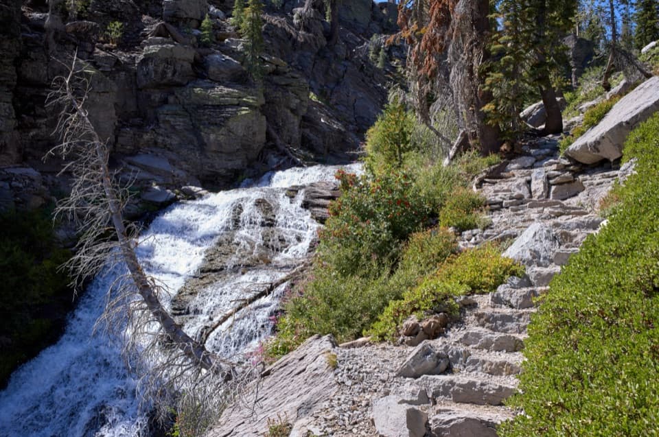
The route climbs to a view above Butte Lake, drops toward Butte Creek, then follows the far side around the lake. At the fork for Snag Lake, take the Widow Lake branch. A stream, meadow and boulder field mark the final approach, followed by a short steeper climb to flatter ground beside the water. Turn around at Widow Lake and retrace the same route; the longer routes toward Snag Lake continue beyond the junction and aren’t part of this hike.
Start at the Butte Lake parking/day-use area. The access road closes in winter. No drinking-water source or food stop was confirmed at the trailhead or on the route, so carry what you need for the full walk. The trail crosses fire-affected forest; the National Park Service warns that standing dead trees can fall without warning. Pets aren’t allowed on park trails or in lakes.
Wildlife
 103 sightingsBlack BearMost seen around 7 PMSighting map
 44 sightingsBald EagleMost seen around 7 AMSighting map
 348 sightingsMule DeerMost seen around 7 PMSighting map
 17 sightingsSandhill CraneMost seen around 6 AMSighting map
 47 sightingsGreat Blue HeronMost seen around 7 AMSighting map
 12 sightingsGreat EgretMost seen around 7 AMSighting map
Sighting maps show where each species has been reported across Lassen Volcanic. Wildlife moves, so no sighting is guaranteed.
Keep exploring
 ChallengingProspect Peak Trail6.9 mi · 5 hr · At the trailheadA steady climb to a volcanic summit with Lassen Peak views.
 ModerateSnag Lake Loop13 mi · 7 hr · At the trailheadA long loop past cinder fields, lava beds, and two lakes.
 ModerateBathtub Lake Loop2.1 mi · 1.5 hr · At the trailheadA lakeside circuit has a short detour to its namesake lake.
 ChallengingCinder Cone Trail4 mi · 3 hr · 0.1 mi awayA steep cone climb, a rim loop, and the Painted Dunes
 ChallengingHorseshoe Lake Loop from Butte Lake20.4 mi · 12 hr · 0.1 mi awayA full-day lake loop past cinder fields, painted dunes, and burned forest.
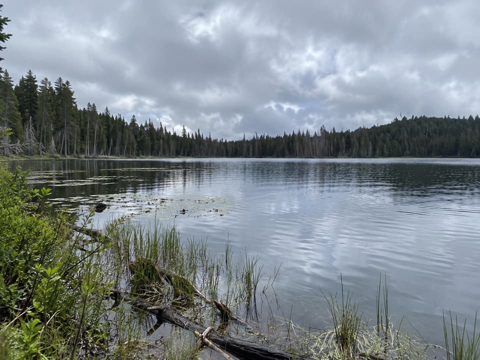 ModerateTriangle Lake to Widow Lake Trail3.3 mi · 2 hr · 4.8 mi awayA remote backcountry crossing links Triangle and Widow lakes.
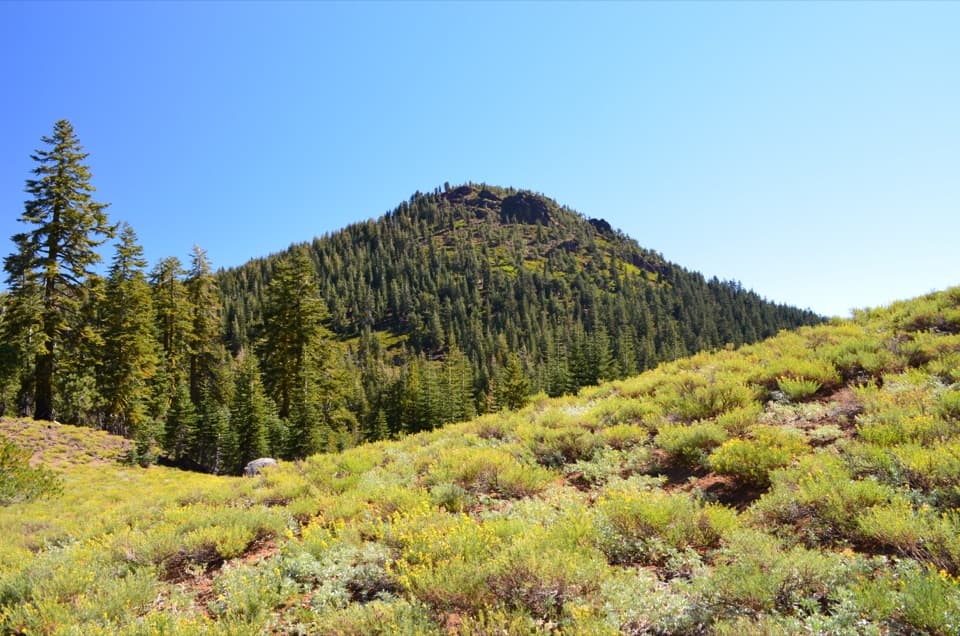 ModerateRed Cinder Cone Trail8.8 mi · 5 hr · 5.7 mi awayA remote 8.8-mile traverse through the Red Cinder Cone corridor.
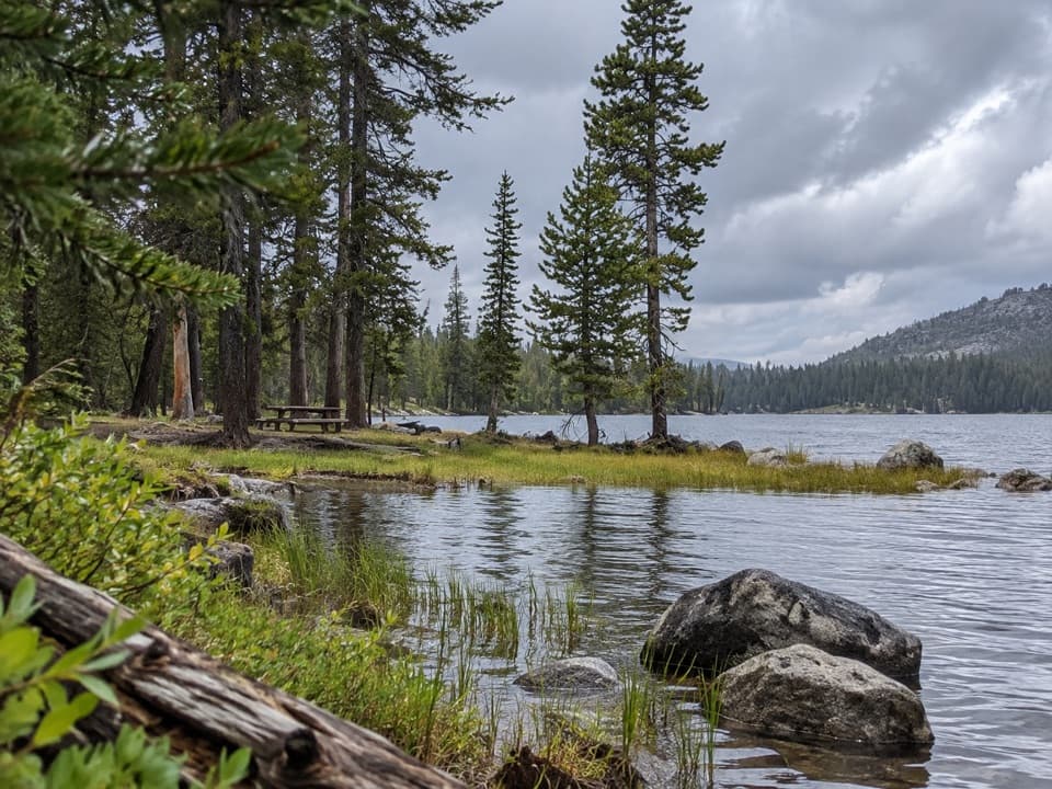 EasyCameron Meadow Trail2.4 mi · 1.5 hr · 5.8 mi awayA short, low-gain walk to a seasonal wet meadow.
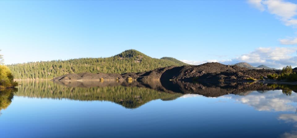 Sight · At the trailheadButte LakeBlue water meets black lava at a remote northeastern lake.
 Campground · 0.2 mi awayButte Lake CampgroundA remote base for lake days and Cinder Cone hikes.Sight · 1.3 mi awayPainted DunesColorful ash dunes first appear from Cinder Cone's trail fork.
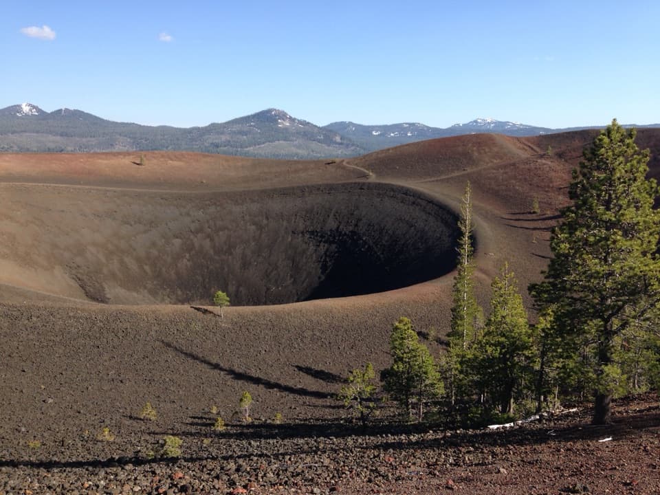 Sight · 1.5 mi awayCinder ConeClimb the loose cone for a crater and lava-bed panorama.
 Sight · 3.5 mi awaySnag LakeA backcountry lake born from Cinder Cone’s lava.
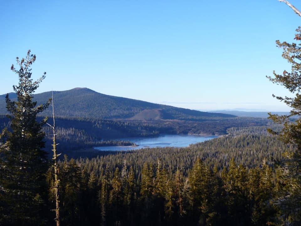 Sight · 6.3 mi awayInspiration PointA short, steep climb earns a wide volcanic panorama.
 Sight · 6.5 mi awayHorseshoe LakeA trout lake people have fished since 1936
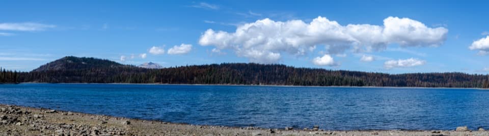 Sight · 6.8 mi awayJuniper LakeA coarse-sand beach, cool swimming, and trailheads share one shore.
Parkwolf’s Lassen Volcanic ranking
The audio tour guide for the drive, plus offline maps, trails, and wildlife heatmaps for when the signal drops.