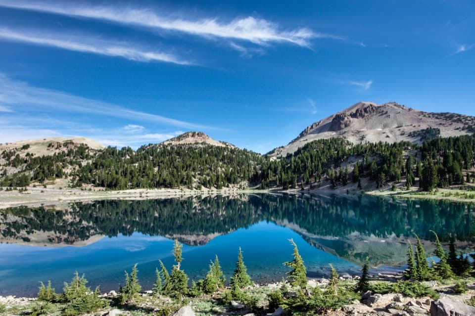
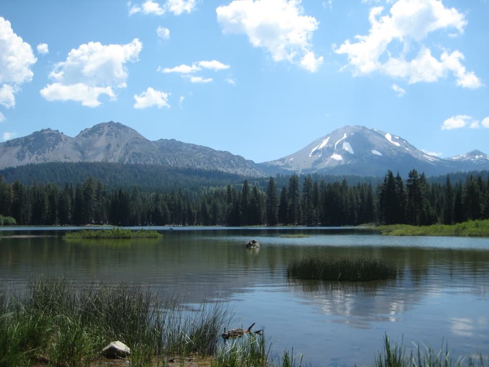
Butte Lake Campground in Lassen Volcanic National Park

Campground · Lassen Volcanic National Park

Butte Lake Campground

A remote base for lake days and Cinder Cone hikes.

Photo: National Park Service
Type
Campground
Nearest trail
0.2 mi
Audio stories
2 nearby
  • Restrooms
  • Parking

Hear the audio tour

Butte Lake and Cinder Cone

Overview

About Butte Lake Campground

Why stop

  • Quiet pine setting with Butte Lake and trailheads close by.

Heads up

  • Six-mile dirt approach; no hookups, store or cell service.

Map

Where it is

Loading the Lassen Volcanic map
Full map
CampgroundButte Lake Campground40.56492, -121.30559
Keep this map with you offline in the Parkwolf app

Plan your stop

Before you go

Best time to go

The six loops include six group sites and one horse site with a stock corral. Reservations are required. Potable water and flush toilets vary by season, and dry camping means those services are off; check the loop’s setup before leaving Highway 44 and bring drinking water if needed. There are no showers, hookups, food service, store, ice or firewood for sale, and there’s no cell service or Wi-Fi. Fires are allowed only in the provided rings; stoves are fine. Dogs can stay in the campground on a leash up to six feet, but they aren’t allowed on park trails.

1 active Lassen Volcanic alert

  • ClosureJuniper Lake campground and day-use area closedJuniper Lake Campground and day-use area are closed for maintenance and campground-improvement projects. - Potable water is unavailable in the campground.Official details
Lassen Volcanic alerts
A park ranger sits on a dash-mounted phone, talking, as Parkwolf’s Tour Guide plays “Army Cutworm Moths: A Grizzly Bear Buffet” on Grand Loop Road below Dunraven Pass in Yellowstone
Parkwolf Tour GuideThe highest, rockiest slopes around here are a summer buffet for grizzly bears.

Lassen Volcanic Tour Guide

Your drive to Butte Lake Campground, narrated.

Parkwolf is a GPS audio tour guide for Lassen Volcanic National Park. As you drive, it chimes in with what’s ahead: hidden gems, upcoming stops, history, geology, and wildlife, right through your car’s speakers.

See the Lassen Volcanic audio tour

Recorded for this place

Butte Lake and Cinder Cone
0:00 / 0:35
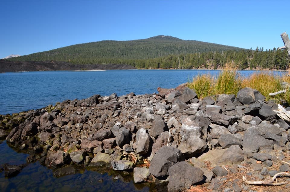
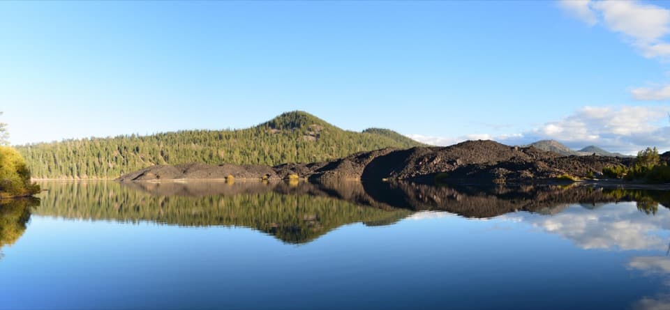
“You're nearing Butte Lake, where blue water meets rough black lava. Stop for a picnic, a swim, or a paddle in a canoe or kayak; motorboats aren't allowed.”

Plays as you drive up to Butte Lake Campground in the Parkwolf Lassen Volcanic Tour Guide.

More stories near here in the app

  • Lava That Built a Mountain
  • 45 audio storiesacross Lassen Volcanic’s roads, triggered by GPS as you drive
  • Wildlife heatmapsfor Black Bear, Bald Eagle, Mule Deer, and 13 more
  • Works offlinemaps, 59 trails, 56 places, and audio download before you lose signal
  • CarPlay readysimple controls built for the drive
★★★★★
“Fantastic app with many points of information… It’s great to just turn on while you’re driving and it gives you an audio tour of the national Park. We love it!!!!”
JMJamesApp Store review
Download Parkwolf on the App StoreGet Parkwolf on Google Play

4.7 from 8,600+ ratings

Guide

More about Butte Lake Campground

A remote base in the northeastButte Lake Campground is a 101-site campground at about 6,100 feet in the park’s northeastern…

Butte Lake Campground is a 101-site campground at about 6,100 feet in the park’s northeastern corner, set among ponderosa pines on volcanic soil. It’s a good base for Butte Lake and Cinder Cone if you want to stay near the park’s northeast rather than spend the day driving back and forth. The approach leaves Highway 44 for six miles of dirt road; passenger cars can make it, but allow time for a slow, dusty drive.

Lake and volcano timeButte Lake is within walking distance for swimming, fishing and non-motorized paddling;…

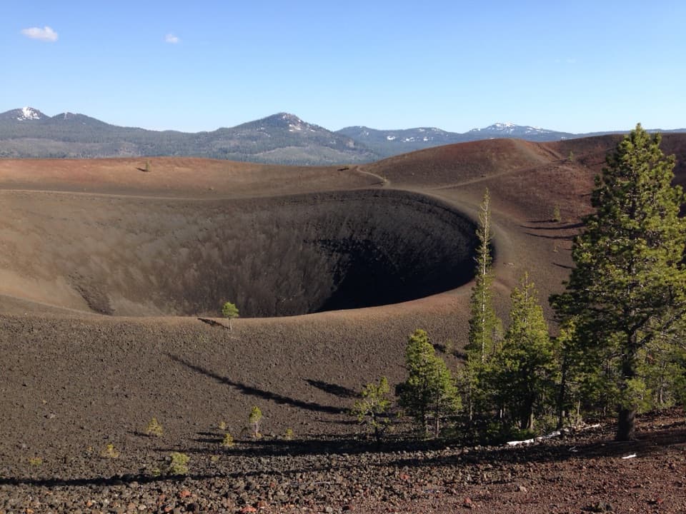
Butte Lake is within walking distance for swimming, fishing and non-motorized paddling; motorboats aren’t allowed. From the north shore, the black Fantastic Lava Beds reach the water below Cinder Cone and Prospect Peak. The nearby Cinder Cone hike is four miles round trip and about three hours, with a steep final climb over loose cinders, so plan for a substantial outing rather than a quick wander from camp.

Wildlife

Wildlife in Lassen Volcanic

All Lassen Volcanic wildlife maps

Sighting maps show where each species has been reported across Lassen Volcanic. Wildlife moves, so no sighting is guaranteed.

Parkwolf’s Lassen Volcanic ranking

Top sights in Lassen Volcanic

All 56 places
  1. 1Bumpass HellSight
  2. 2Lassen PeakSight
  3. 3Sulphur WorksSight
  4. 4Cinder ConeSight
  5. 5Lake HelenSight
  6. 6Manzanita LakeSight

Take Parkwolf to Lassen Volcanic.

The audio tour guide for the drive, plus offline maps, trails, and wildlife heatmaps for when the signal drops.

4.7 from 8,600+ ratings

Download Parkwolf on the App StoreGet Parkwolf on Google Play