Pros & cons
PROS
- Open grassy flats with big valley views
- Basic shelter, water tank, and toilets on site
- In-season DOC ranger based at nearby hut
CONS
- Booking required during Great Walks season
- Campers cannot use hut facilities
- Little to no cellphone coverage on much of the track
Overview
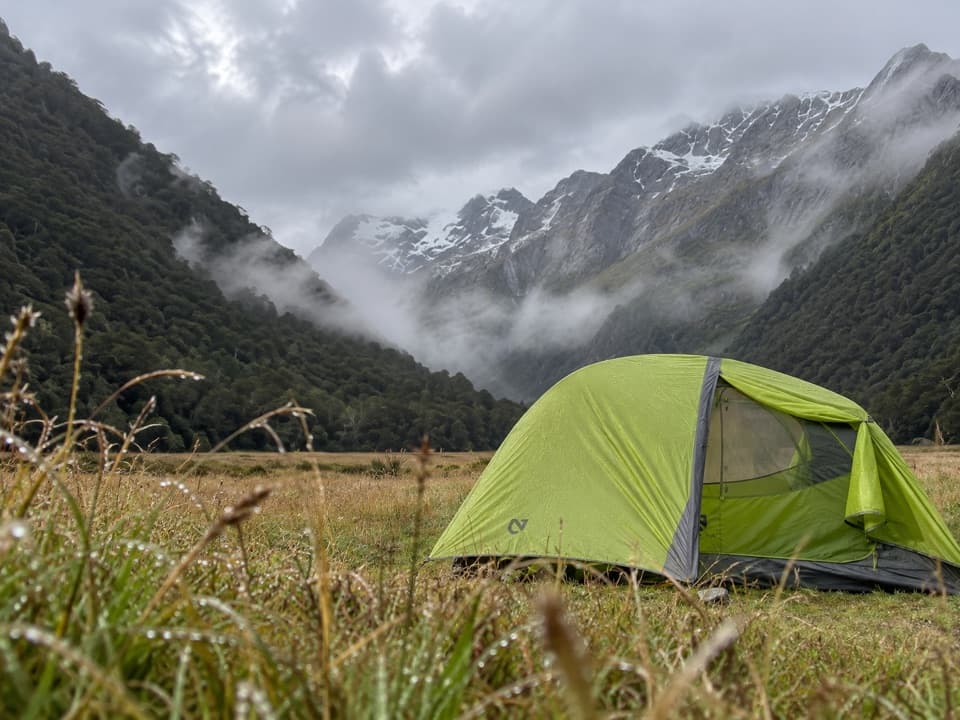
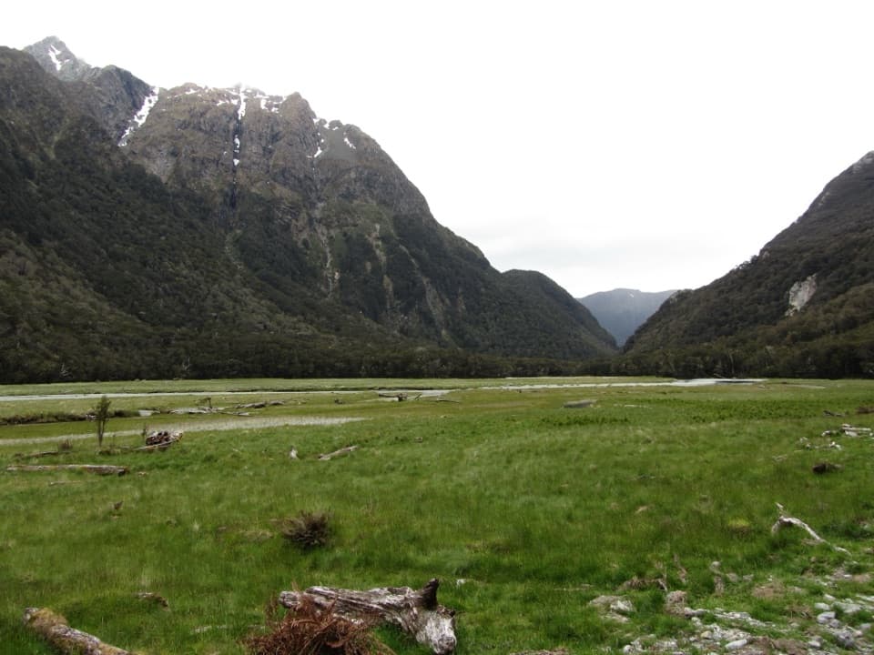
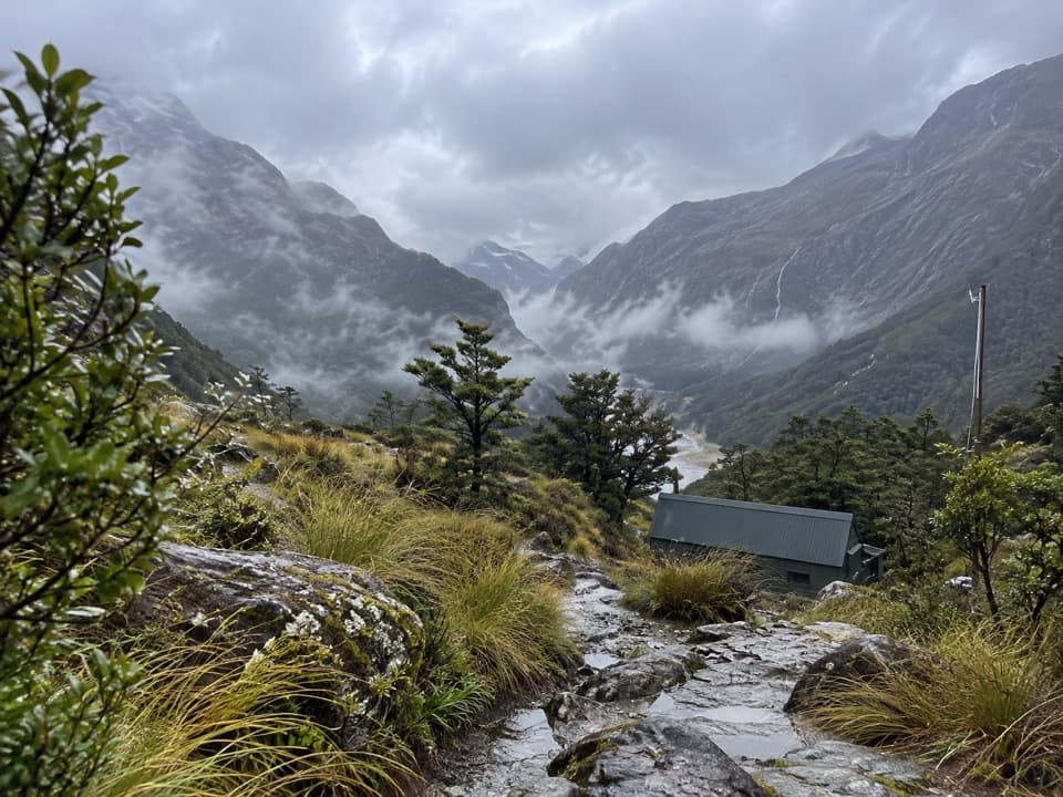
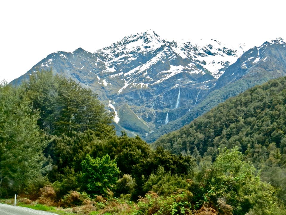
A classic first-night stop on the Routeburn Track, Routeburn Flats Campsite sits on wide, grassy river flats with mountain views. It’s walk-in only and feels blissfully simple: pitch your tent, watch the light rake across the valley, and listen for wildlife at dusk.
Getting There
- From Routeburn Shelter (near Glenorchy): about 7.5 km in 1 hr 30 min–2 hr 30 min on a well‑graded track.
- The shelter is road‑accessed; the last stretch to the road end includes partially unsealed driving.
Facilities & Rules
- Non‑flush/pit toilets and an on‑site water tank; treat or boil before drinking.
- A basic covered cooking/picnic shelter with benches/sink and picnic tables is commonly available, but arrive self‑sufficient in case it’s busy.
- Bring your own tent, sleeping gear, stove, and cookware. Campers may not use hut facilities.
- No fires. No vehicle access; tent sites only.
- DOC advises choosing open sites—don’t camp under trees.
- A DOC ranger is based at the nearby hut during the Great Walks season and checks tickets, shares conditions, and helps in emergencies.
Season, Bookings & Fees
- Great Walks season: November 1, 2025–April 30, 2026. Bookings required.
- Per person, per night in season: NZ adult $28; international adult $42; NZ child (5–17) $14; international child (0–17) $21; infants (0–4) free.
- Outside the main season (e.g., Jul 1–Oct 31, 2025 and May 1–Jun 30, 2026): adults $10; children $5; infants free. The DOC Campsite Pass is not valid here.
What It’s Like
Expect a spacious, open glade beside the river with easy tent spots and big-sky sunrise views. It’s popular because it’s the first comfortable stop from the Glenorchy side—close enough for a mellow overnight, far enough to feel properly out there.
Safety & Conditions
- Weather turns quickly year‑round; carry warm layers, rain gear, extra food, headlamp, and a reliable emergency option (PLB recommended).
- Winter/shoulder months (May–late Oct) bring alpine conditions; avalanche risk can extend higher on the track even into early summer.
- Cell coverage is patchy to non‑existent along much of the Routeburn.
Easy Add‑Ons
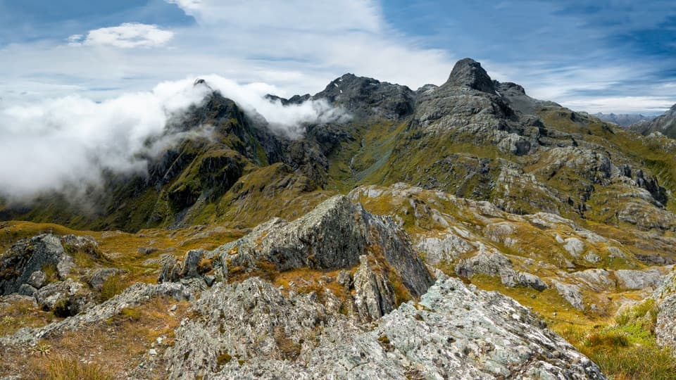
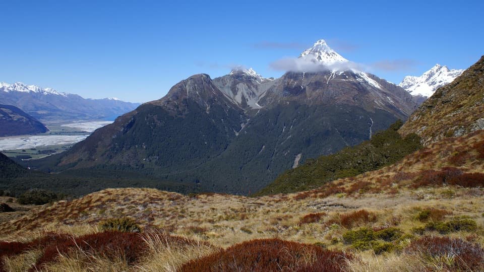
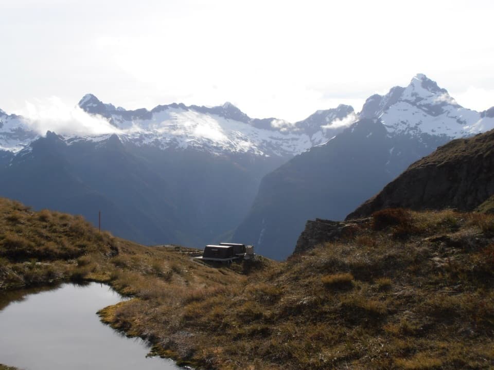
- From camp, the climb toward Routeburn Falls Hut makes a rewarding side trip (about 2.3 km/1–1.5 hr one way) for bigger views before returning to your tent or continuing the track.
Best Time to Visit
- Go during the Great Walks season for the most reliable conditions, a staffed hut, and fully maintained facilities.
- For photography and quiet, plan to arrive mid‑afternoon and catch first light—several reviewers rave about the early morning views across the flats.
Where it is
-44.7254, 168.2154Routeburn Flats Campsite
Tips for Routeburn Flats Campsite
- 01Book ahead for Nov 1–Apr 30; outside that window conditions are more alpine.
- 02Bring your own tent, stove, and cookware, and treat water from the tank.
- 03Pick an open spot on the flats—DOC advises not camping under trees.
- 04From Routeburn Shelter it’s 7.5 km, typically 1.5–2.5 hours on a good track.
- 05Add the 2.3 km one‑way side trip to Routeburn Falls Hut for bigger views.
Amenities
Near Routeburn Flats Campsite
All places →All trails →
0 mi awayRouteburn FlatsGrassy valley flats with big views and an easy walk-inScenic Viewpoint · Campground
0 mi awayRouteburn Flats HutScenic valley hut and easy first-night stop on the RouteburnLodging · Restroom
0.8 mi awayRouteburn FallsThundering alpine cascade reached by a classic Routeburn day hikeScenic Viewpoint · Restroom
0.8 mi awayRouteburn Falls HutFalls-side Great Walk hut with views and a solid kitchenLodging · Restroom
3.1 mi awayRouteburn TrackAlpine-to-rainforest Great Walk with huts, waterfalls, and big views.Challenging · 20.5 mi · 13 hr
3.1 mi awayRouteburn Flats TrackGentle beech forest walk to swing bridge and wide grassy flatsEasy · 4.7 mi · 2 hr
3.1 mi awaySugarloaf Pass TrackQuiet, steep climb to a broad alpine pass with big valley viewsModerate · 6.2 mi · 7 hr
3.1 mi awayRouteburn Nature WalkShort beech forest loop with bridges and Route Burn viewsEasy · 1.9 mi · 1 hr