Challenging

Rees-Dart Track

Alpine rivers, big saddles, true backcountry drama over 4–5 days
Rees-Dart Track, Mount Aspiring National Park
Distance39.1 mi
Typical time24 hr
DifficultyChallenging
PetsNot allowed

Overview

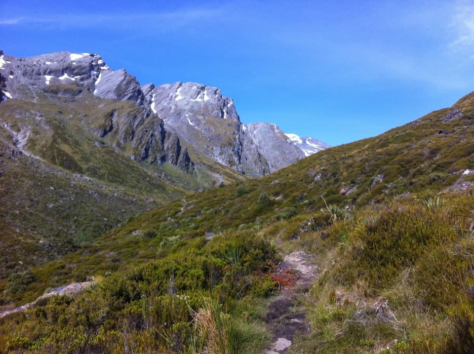
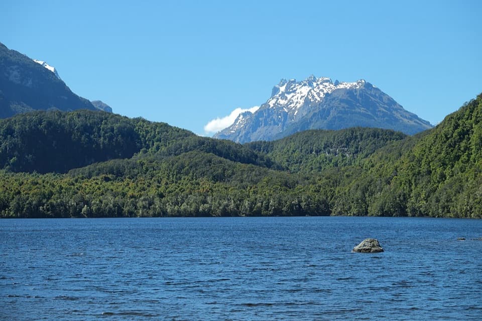
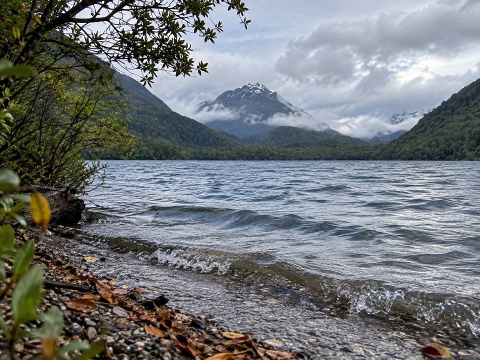
A classic multi‑day through‑hike in Mount Aspiring’s backcountry, the Rees–Dart links the Rees Valley (Muddy Creek) to the Dart Valley (Chinamans Bluff) across beech forest, tussock basins, and a high alpine pass. Total distance between the two road ends is about 63 km (39.1 miles). Expect an honest tramp: sections are a marked route with narrow tread and steep drop‑offs, notably between Shelter Rock Hut and Dart Hut over 1,471 m Rees Saddle. Rivers and side streams rise fast and can stop you for hours—or a day—so carry spare food and an emergency shelter.

Trail Breakdown (northbound example)

  • Muddy Creek → Park boundary (12 km, 4–5 hr): Vehicle track and marker poles over boggy ground on private farmland—no camping here.
  • Park boundary → Shelter Rock Hut (7 km, 2–3 hr): Bush travel with a swing bridge over the Rees; avalanche paths near the bushline. The Waterfall Creek bridge is damaged—don’t rely on it in high flows.
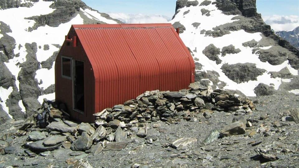
  • Shelter Rock Hut → Dart Hut via Rees Saddle (10 km, 4–6 hr): Marked route with exposure and steep drop‑offs, especially above Upper Snowy Creek. The upper Snowy Creek bridge is removed each winter and may not be reinstalled until as late as December; without it, crossings can be hazardous. No camping in this fragile alpine/subalpine section.
  • Dart Hut → Daleys Flat Hut (18 km, 5–7 hr): Easy sidle to Cattle Flat, then terraces and gullies on a marked track. Unbridged side streams can spike quickly after rain.
  • Daleys Flat Hut → Chinamans carpark (16 km, 5–7 hr): Stay on the formed track across Dredge Flat—there’s quicksand. Steep, narrow bits around Sandy Bluff before the track eases toward the road end. Fine‑weather road walking to Paradise (6 km, ~2 hr) may be needed if floods block vehicles. Advanced side trips from Dart Hut include the Dart Glacier/Cascade Saddle and the unmaintained Whitbourn Valley (no bridge; hazardous ford only).

Huts, Camping, and Fees

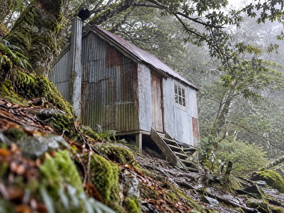
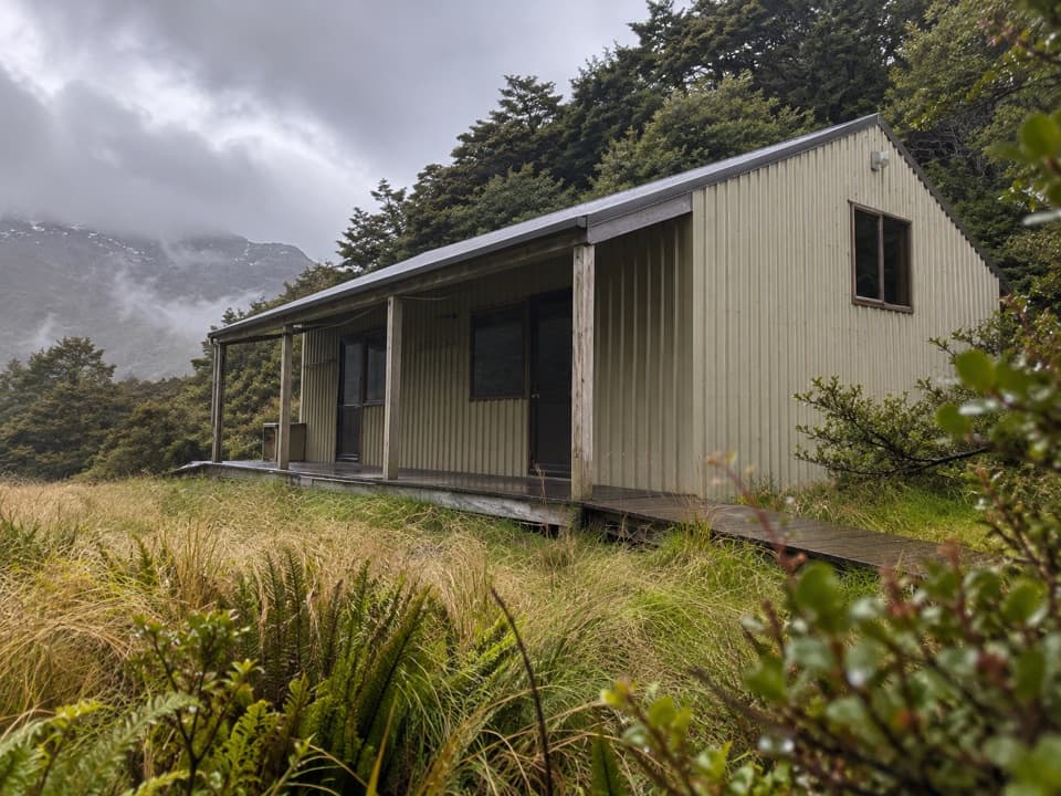
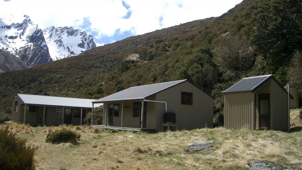
First‑come, first‑served huts—bring hut tickets. Hut fees: Adult NZ$25/night; Youth NZ$12.50; Infants free. Backcountry Hut Passes are valid 1 May–30 Sept (not accepted 1 Oct–30 Apr). Camping is allowed except from Muddy Creek to the park boundary and anywhere between Shelter Rock Hut and Dart Hut. Campers pay fees and can use hut water/toilets. Hut water is untreated—boil or treat.

Conditions and Hazards (read this twice)

Alpine weather can hit any month. Avalanche paths exist above the bushline in both valleys from late autumn to early summer. Bridges change: the upper Snowy Creek bridge is removed each winter; Waterfall Creek bridge near Shelter Rock is damaged; the Whitbourn swing bridge is gone (river ford required). Flood‑prone hotspots include Cattle Flat, the lower Dart, Cascade Saddle side streams, and upper Snowy Creek when the bridge is out. In winter (May–Oct) the track is generally impassable except for experienced mountaineers with full alpine and avalanche kit.

Logistics and Little Extras

Access: Muddy Creek road end is ~68 km from Queenstown; Chinamans Bluff is ~76 km. The Chinamans road is 2WD fine‑weather only and prone to washouts/flooded creeks; after heavy rain you may need to walk out to Paradise. Consider transport operators for the road ends. Carry a PLB, extra food, and an emergency shelter. Check conditions—especially avalanche status and whether the Snowy Creek bridge is in—before you go. Keep an eye out for kea around the high country (they’ll chew anything) and, if you’re lucky, newly reintroduced takahē in the Rees Valley. Film‑buff bonus near the finish: Dan’s Paddock on the road section to Paradise.

Pros

  • Rare chance to see reintroduced Takahē in the Rees Valley if you’re lucky
  • Flexible, first‑come huts (no bookings) make it easier to chase a good weather window
  • Serious side‑trip potential to Dart Glacier/Cascade Saddle for experienced parties

Cons

  • Seasonal and damaged bridges can stall your itinerary with zero warning
  • Quicksand at Dredge Flat and frequent flood delays add stress to river travel
  • No‑camping zones in key sections restrict flexibility on big days

Parking

Two road ends: Muddy Creek (Rees) about 68 km from Queenstown via Glenorchy; Chinamans Bluff (Dart) about 76 km. Chinamans road is 2WD fine‑weather only and prone to washouts; after heavy rain you may need to walk to Paradise. Don’t leave vehicles beyond Muddy Creek due to washouts.

Caution

Expect fast‑rising rivers, avalanche paths, narrow exposed sections, a damaged Waterfall Creek bridge, and the upper Snowy Creek bridge removed in winter (sometimes not reinstalled until December). Quicksand on Dredge Flat. Winter travel generally for experienced mountaineers only.

The Parkwolf tour guide sitting on a phone mounted in a car

Parkwolf Tour Guide

Like a tour guide in your car.

Bring Mount Aspiring trail research into the car, with offline maps and stories that play as you drive.Download Parkwolf on the App Store