Place · 4.7 mi away
Challenging

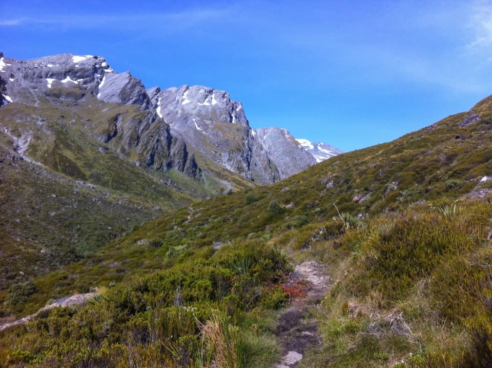
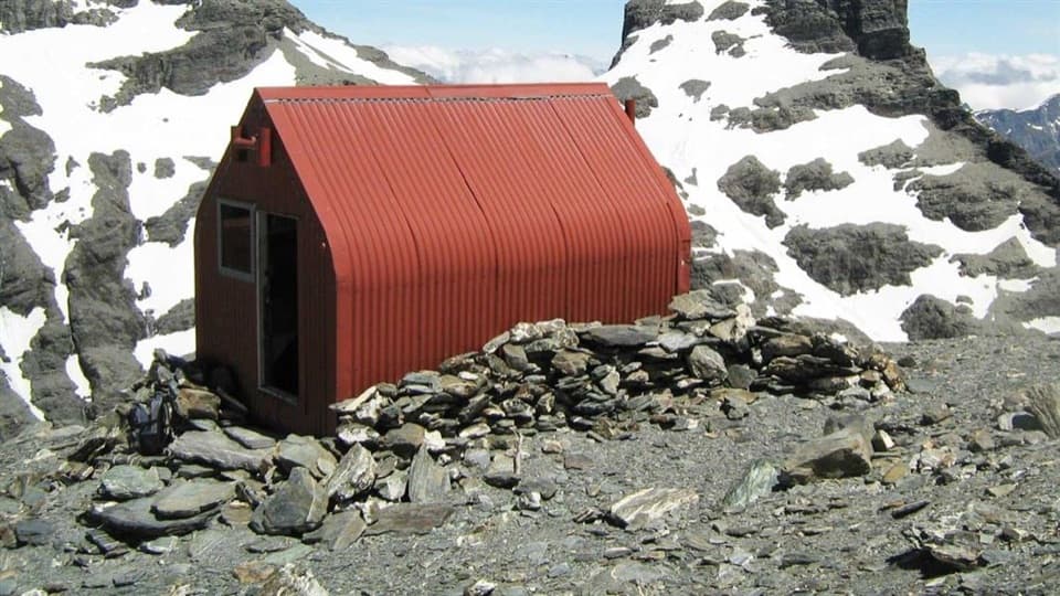
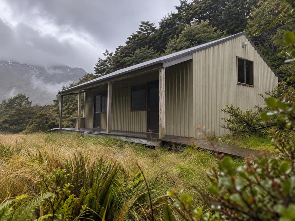
A committing valley-to-basin adventure to lush sub‑alpine meadows beneath Mt Earnslaw/Pikirakatahi. Expect waterfalls, hanging glacier views, and a stout climb on a cut, zig‑zagging track. From Muddy Creek carpark it’s roughly 24 km total (out-and-back, including the valley approach) with about 600 m of gain, typically 8–10 hours return. Many trampers turn it into an overnight using the rock bivvy or the ultra‑basic Earnslaw Hut.
Drive the gravel Rees Valley Road to Muddy Creek carpark (about 30 minutes from Glenorchy). The road has fords that can become impassable after rain. On foot, follow the Rees valley either on the marked Rees Track (boggy in places, swing bridge over Twenty Five Mile Creek, then a ford of the Rees) or the faster 4WD flats (usually more river crossings). The Kea Basin Track begins on low terraces north of Lennox Falls at the bush edge—watch for markers.
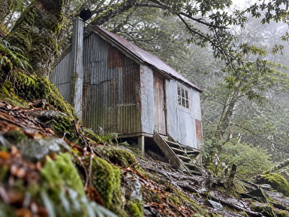
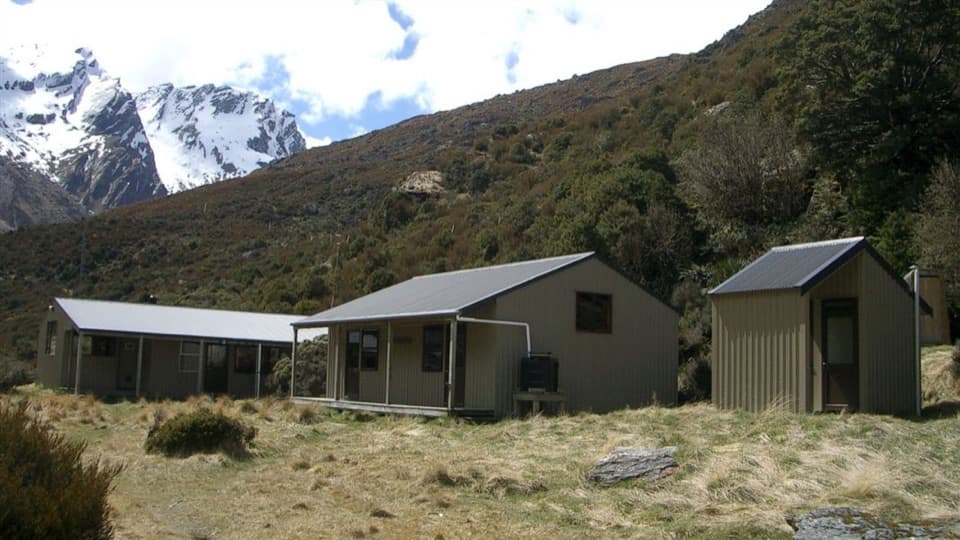
The climb is mercifully switchbacked through beech forest. Partway up, a short signed detour reaches Earnslaw Hut (4 bunks, fireplace, no mattresses, no toilet; water from a nearby stream). Above the bushline the track tips you into Kea Basin, where a well‑used rock bivvy sits just as you break out of the trees. In fine weather, confident parties sometimes poke higher toward an “upper bivy” and the mountaineering route toward Esquilant Bivvy and Mt Earnslaw; beyond the basin the terrain steepens and becomes alpine—only for those with the skills.
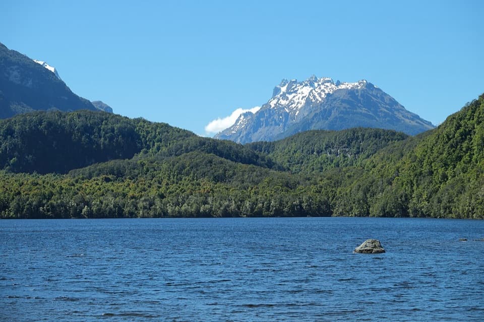
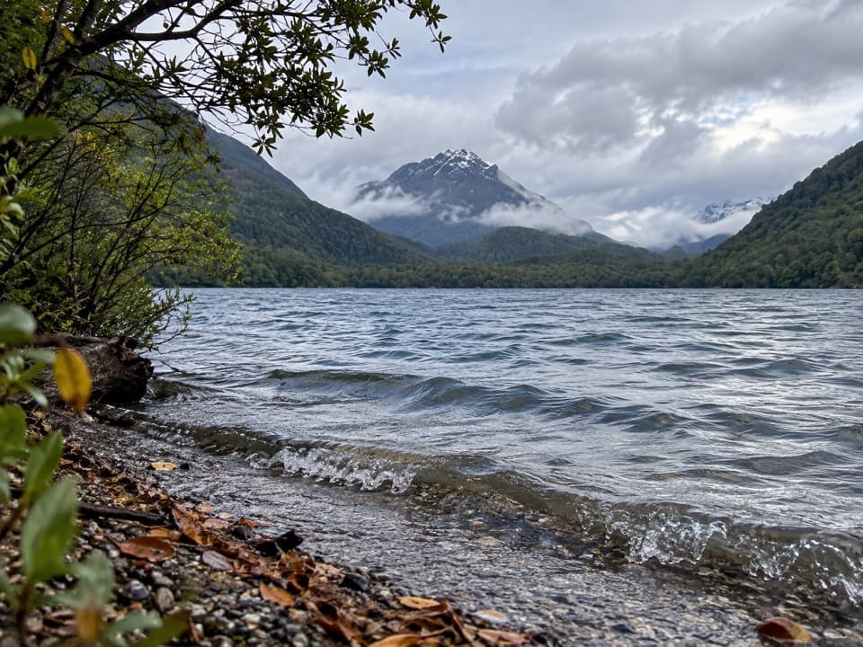
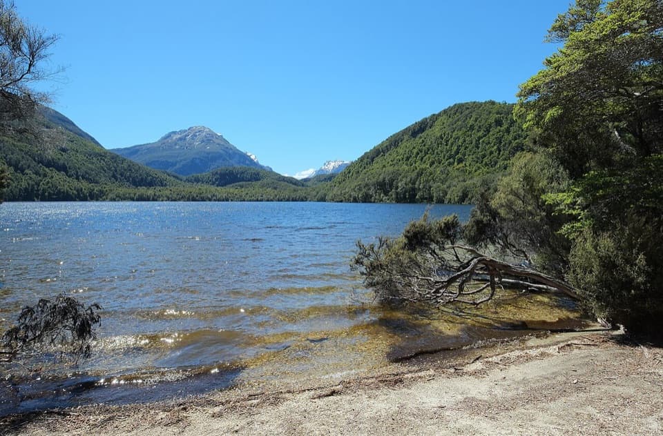
This one delivers big scenery for the effort: expansive Rees Valley views framed by waterfalls and tussock slopes, plus close‑up glacier drama once you’re in the basin. The historical Earnslaw Hut and the natural rock shelters add a dose of old‑school tramping character you won’t find on many front‑country walks.
Go in settled summer to early autumn conditions. From roughly May to November, avalanche paths can cross sections of the route; avoid avalanche season unless you have the training and gear. Skip this trip after heavy rain—the Rees River and the road fords rise fast. Start early to make the most of daylight and firmer morning river levels.
Muddy Creek carpark at the end of Rees Valley Road (gravel with fords). Toilets at the carpark. High‑clearance 4WDs sometimes continue toward Arthur’s Creek in good conditions to shorten the approach.
Serious river crossings; Rees River rises fast and is impassable in flood. Avalanche terrain affects the route roughly May–November. Road fords can wash out. No toilets or facilities in the basin; navigation skills needed above bushline.