
Place · 0 mi away
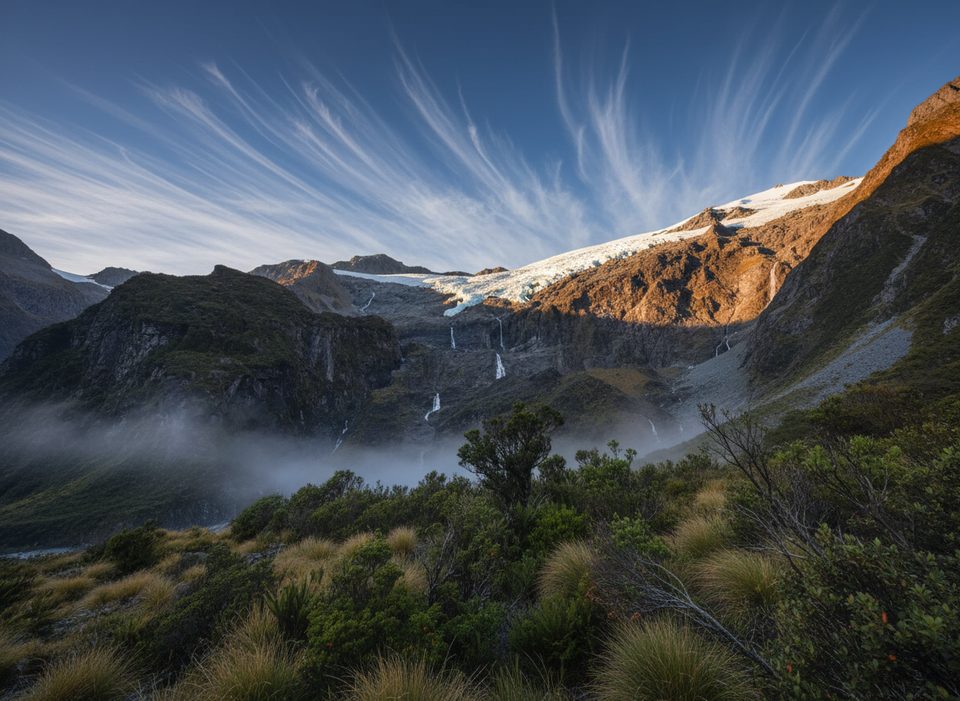
This is the grandstand view at the end of the Rob Roy Glacier Track—a half‑day out‑and‑back to the upper lookout with the big payoff. Expect roughly 10–10.3 km return, about 410–450 m of climbing, and 3–4.5 hours depending on photo stops. The lower lookout is fine, but trees can block the angle; press on to the upper lookout for the money shot.
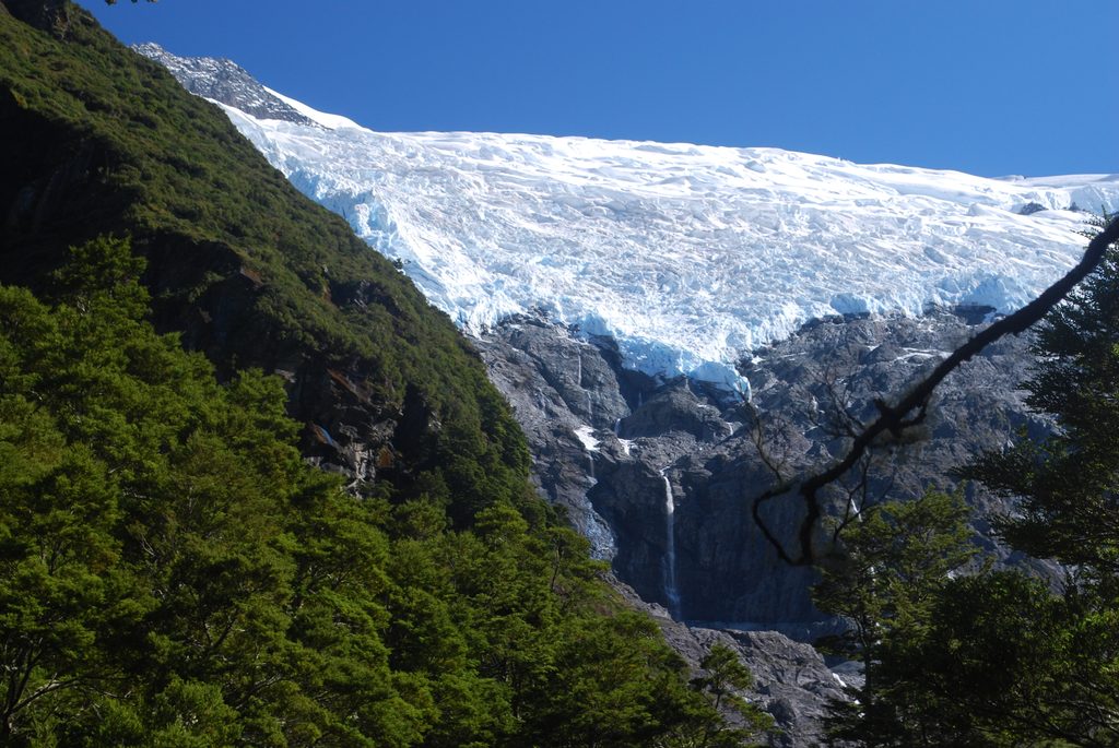
From the upper lookout you’re face‑to‑face with the Rob Roy Glacier and a theater of waterfalls pouring off the cirque. In spring, small avalanches and shedding seracs are common—dramatic to watch from a safe distance. The setting feels properly alpine without requiring a full mountaineering day.
The track starts at Raspberry Flat Car Park, about an hour plus from Wānaka. The last ~30 km are gravel, with several signed fords in the final stretch. After heavy rain, those fords can be too deep for 2WD and sometimes even 4WD. If you don’t want to drive the fords, shuttles or guided trips from Wānaka are an easy solve. Also check your rental agreement—many exclude unsealed roads and river fords.
From the car park it’s ~15 minutes to the swing bridge over the West Matukituki River, then a steady climb through beech forest to the lookouts. In the bouldery stretch between the lower and upper lookouts, ignore the steep, unmarked path; angle toward the orange triangle on a tree and follow the formed benched track. Don’t go past the upper lookout—beyond this point is hazardous terrain. Swing bridges have capacity limits, so short waits are normal.
Toilets at Raspberry Flat and another drop toilet near the end of the track between the lookouts. There’s no treated water at the car park or on the trail—bring your own or treat/filter stream water. No bins; pack everything out.
Between May and November the route between the lower and upper lookouts crosses active avalanche paths. The Department of Conservation advises turning back at the lower lookout in this period unless you have avalanche training, gear, and current conditions info. Today’s date, November 22, falls inside that caution window. After heavy rain, road fords may be impassable—check conditions before you go. Trekking poles help on slippery or icy sections in winter and spring.
You’re likely to see kea around the basin—curious and clever. Enjoy them but don’t feed them. The approach crosses private farmland; stay on the marked route and leave gates as you found them.
Start early for easier parking, calmer winds, and fewer people. For photos, morning or late afternoon light flatters the glacier; midday can glare. If you want the upper lookout without avalanche complexity, plan for December–April, outside the typical May–November caution period.
Place · 0 mi away
Place · 2.9 mi away
Place · 3.4 mi away
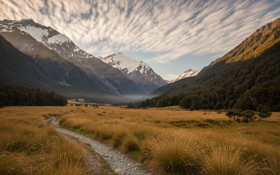
Place · 3.4 mi away
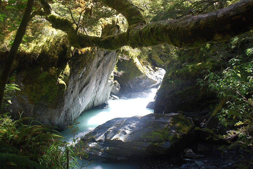
Moderate · 2.3 mi away
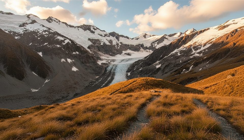
Challenging · 2.3 mi away
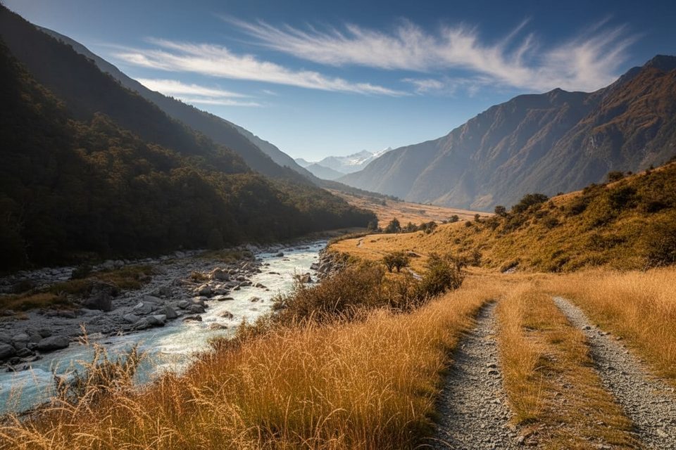
Easy · 2.3 mi away
Challenging · 2.3 mi away

Parkwolf Tour Guide
