
Place · 1.3 mi away
Easy
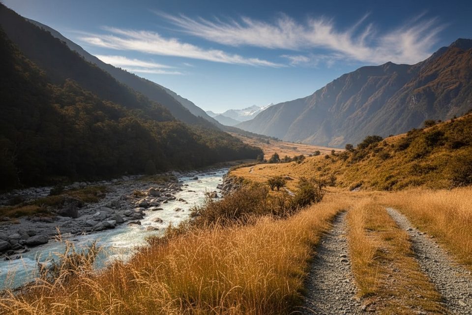
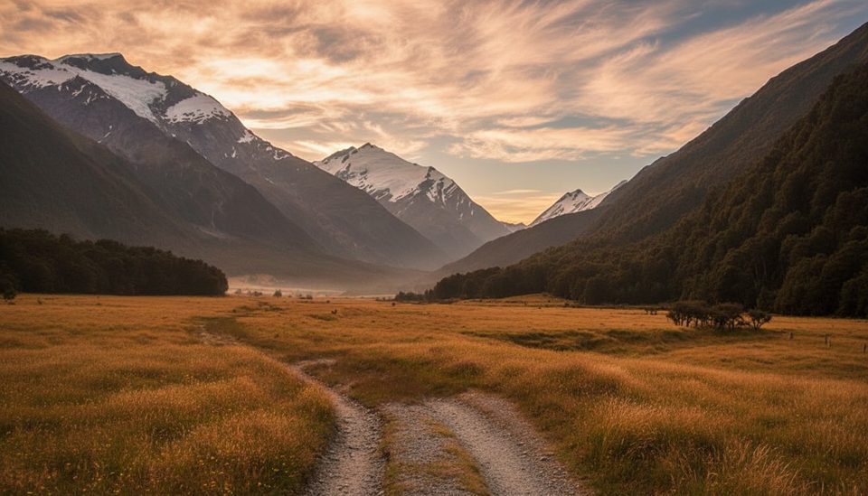
This is the classic valley stroll in Mount Aspiring National Park: 9 km (5.6 miles) one way from Raspberry Creek car park to Aspiring Hut. Expect mostly gentle walking with about 150–200 m of total gain and one short, steep pinch. It’s family‑friendly, beginner‑friendly, and frankly gorgeous—broad river flats, mountain walls, and the Matukituki River right beside you.
The track follows farm flats and a 4WD‑style tread with the odd rutted or muddy patch. You’ll step through or rock‑hop several shallow streamlets; after rain, assume wet boots. Views open and close as you undulate along the river, with a brief climb that rewards you with big valley perspectives. Allow 2–2.5 hours to reach the hut at a steady pace (closer to 3 hours with kids or lots of photo stops).
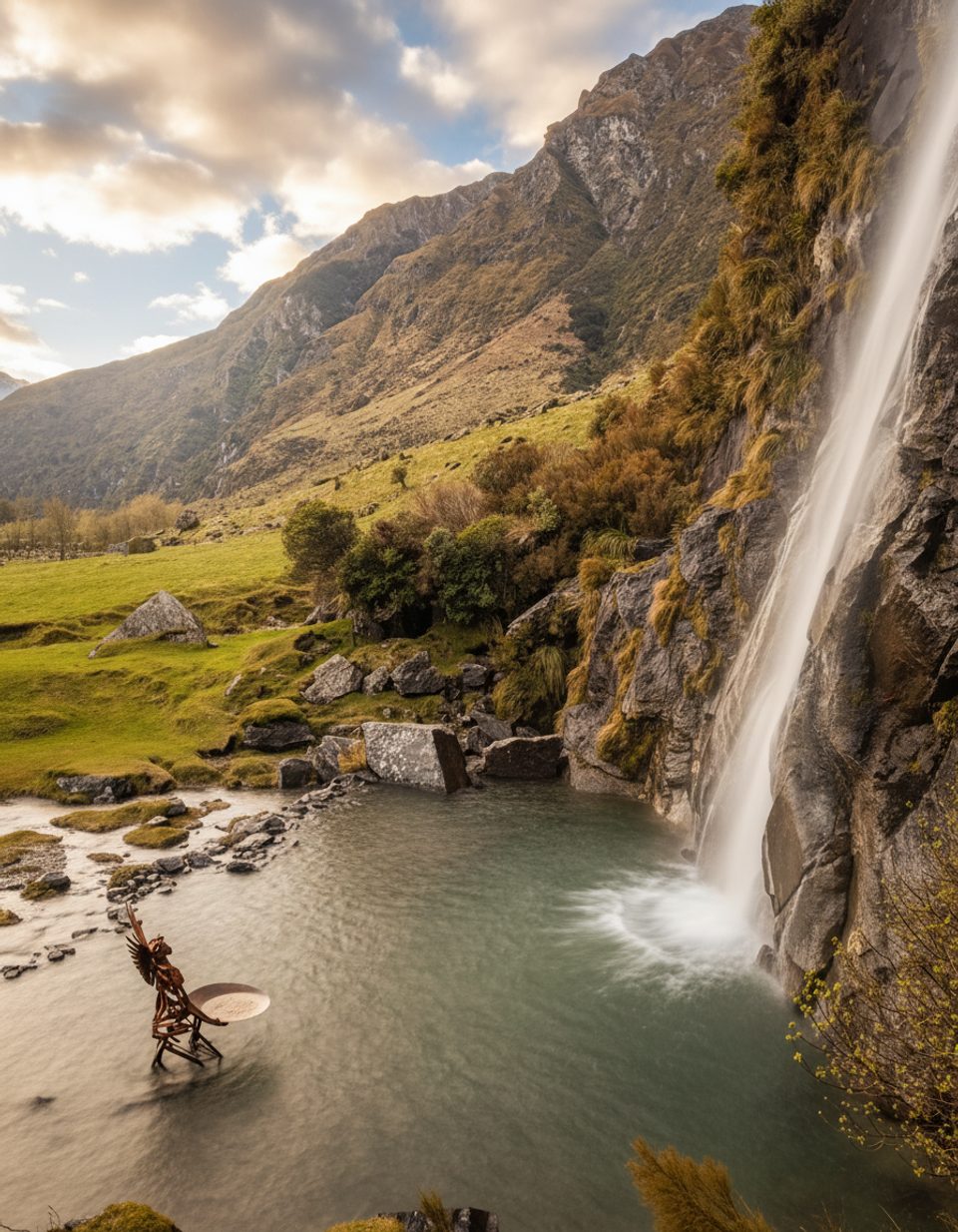
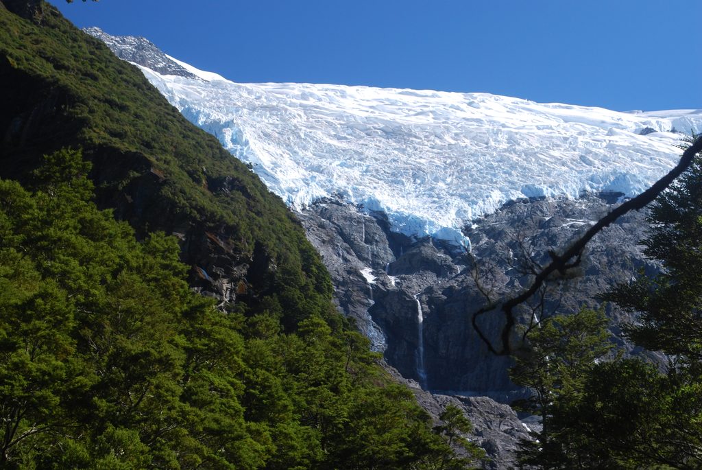
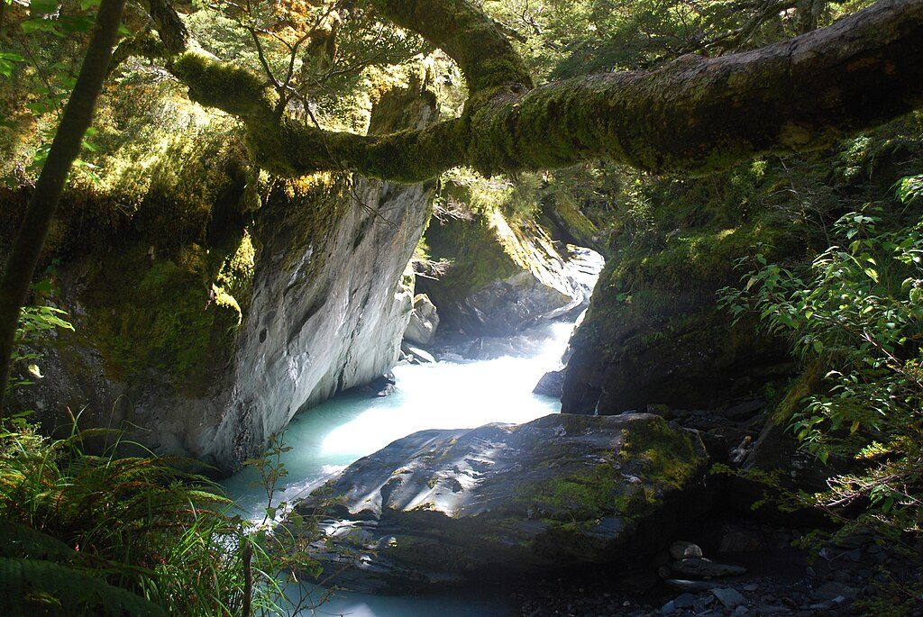
About 20 minutes from the car park, a swing bridge on your right leads to the Rob Roy Glacier Track—an outstanding add‑on if you’ve got extra time and energy. Keep an eye out for kea near the hut; they’re clever and curious. There’s also a cold, clear swimming hole and small beach shortly after that short steep hill—perfect for a brisk dip on a warm day.
From Wānaka it’s roughly 54 km (about 1 hour 20 minutes) to Raspberry Creek. The final ~30 km are gravel with several creek fords that deepen after heavy rain; these can become impassable for 2WDs (and occasionally everyone). If the last fords look too deep, you can park before the final two and walk the remaining few hundred meters. The road can suffer washouts and occasional closures after storms—build in a plan B.
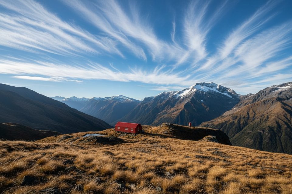
Fresh off a 2022/23 renovation, the hut is a treat: warm common room, solar lighting, a new fireplace, separate bunk rooms, and good insulation. There are 28 bookable beds (plus a few reserved for NZAC members). A warden is typically present in the warmer months, and gas is provided in the kitchen from late October (Labour Weekend) to April—bring your own pots. Flush toilets are outside. A small campsite sits ~50 m away; campers may use the toilets but not hut facilities. Bookings are required online and backcountry passes aren’t valid.
Beyond the hut toward Pearl Flat and the Liverpool/French Ridge tracks, you enter challenging avalanche terrain from roughly late autumn to early summer; Shovel Flat can be hit by debris, so it’s not a safe camping spot. Aspiring Hut itself sits in a known landslide path—temporary closures occur when heavy rain is forecast. Rockfall has also been noted near Wishbone Falls. Riverlets on the track and the vehicle fords all run higher after rain.
Summer and early autumn offer the friendliest combo of daylight, hut services (gas, warden), and warmer river wades—though weather can still flip fast, and wind funnels down the valley. Start early to beat afternoon winds and any bottlenecks on bridges, and to give yourself time for a swim or side trip. In shoulder seasons, check recent rain before committing to the gravel road fords.
Park at Raspberry Creek car park at the end of the gravel road; several vehicle fords precede it. If the last fords are too deep, park before them and walk the final few hundred meters.
Rapid weather changes; vehicle fords and on‑track streamlets deepen after rain. Avalanche terrain begins just beyond the hut toward Liverpool/French Ridge, and Shovel Flat can receive debris. Aspiring Hut is in a landslide path and may temporarily close during heavy‑rain forecasts; rockfall has been noted near Wishbone Falls.
Place · 1.3 mi away
Place · 1.5 mi away
Place · 2.3 mi away
Place · 2.3 mi away
Moderate · 0 mi away
Challenging · 0 mi away
Challenging · 0 mi away
Moderate · 0 mi away

Parkwolf Tour Guide
