Challenging

French Ridge Track

A steep, hands-on climb to a red-roof hut with huge alpine views.
French Ridge Track, Mount Aspiring National Park
Distance10.1 mi
Typical time7 hr
DifficultyChallenging
PetsNot allowed

Overview

This is the classic grunt to French Ridge Hut—an honest, hands-on climb that pays out in big alpine views. From Raspberry Creek car park, it’s about 16.2 km (10.1 miles) one way with over 1,000 m of gain, typically 6–7.5 hours to the hut. The first half meanders up-valley on easy travel; the second half turns sharply skyward and does not let up. If you like your trails rugged and real, this one delivers.

Route Breakdown

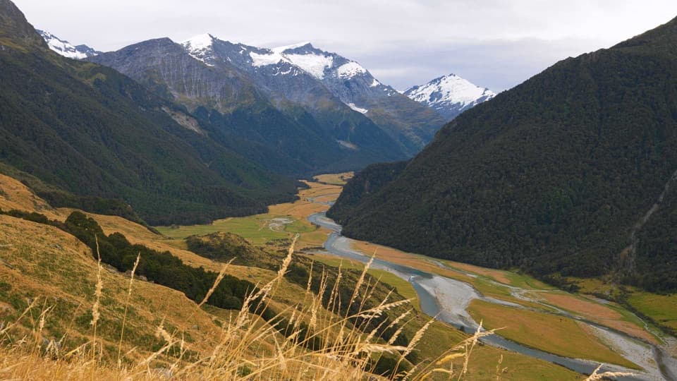
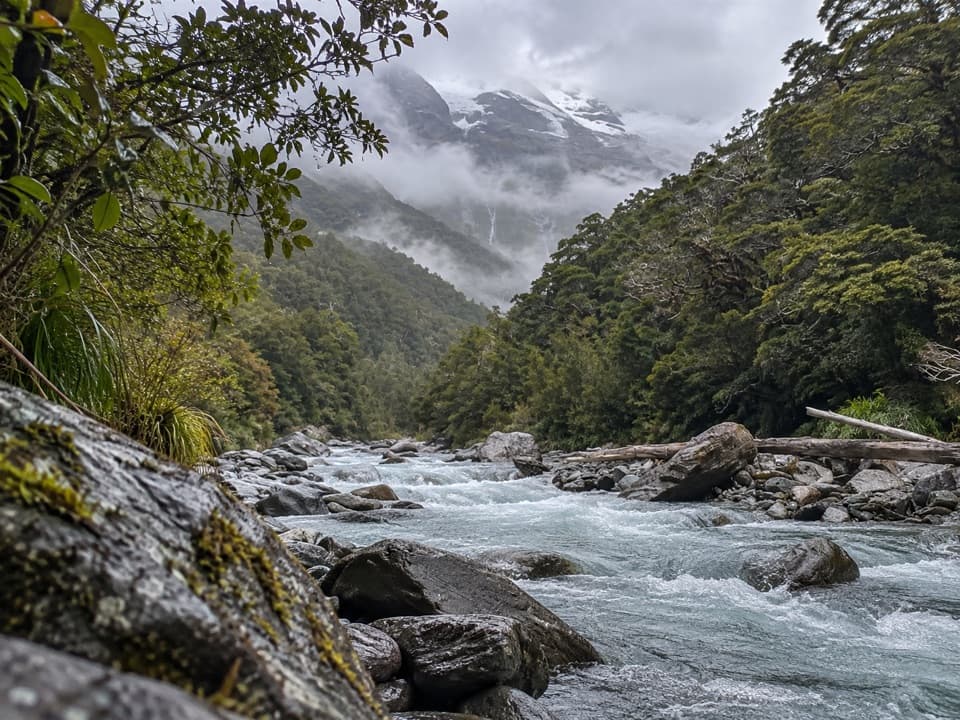
  • Raspberry Creek → Aspiring Hut/Pearl Flat: Mostly flat valley walking with small streams and some mud. Expect sun exposure across Shovel and Pearl Flats. As of recent upgrades, swing bridges on the route (including near Aspiring Hut and at Pearl Flat) mean you generally don’t need to ford to reach the start of the French Ridge climb in normal flows.
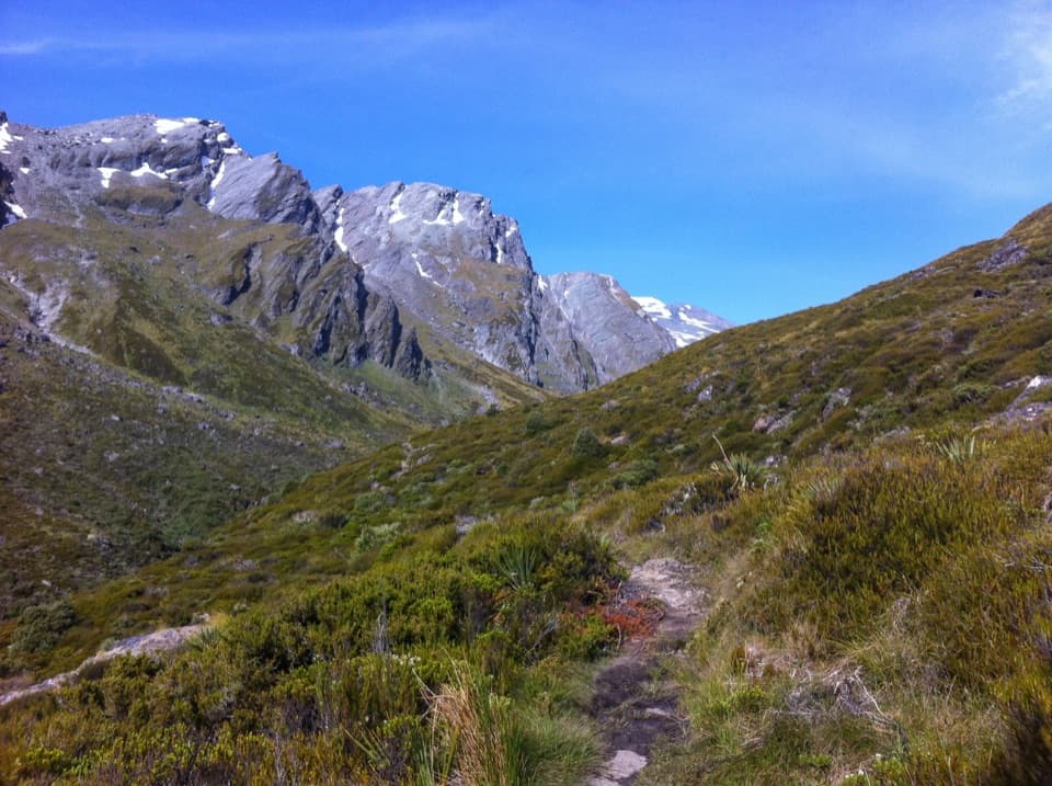
  • Pearl Flat → French Ridge Hut: The tone changes fast. In roughly the final 3 km you’ll climb about 1,000 m through steep bush—think slippery roots and rock slabs where you’ll use your hands—before easing onto tussock slopes and the exposed ridgeline. The hut only appears at the end, so pace yourself.

Length note: The 16.2 km (10.1 miles) and 6–7.5 hours are one way to the hut from Raspberry Creek.

Huts and Logistics

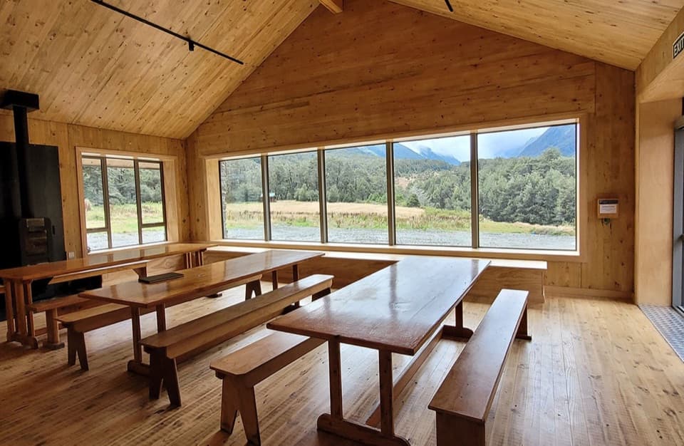
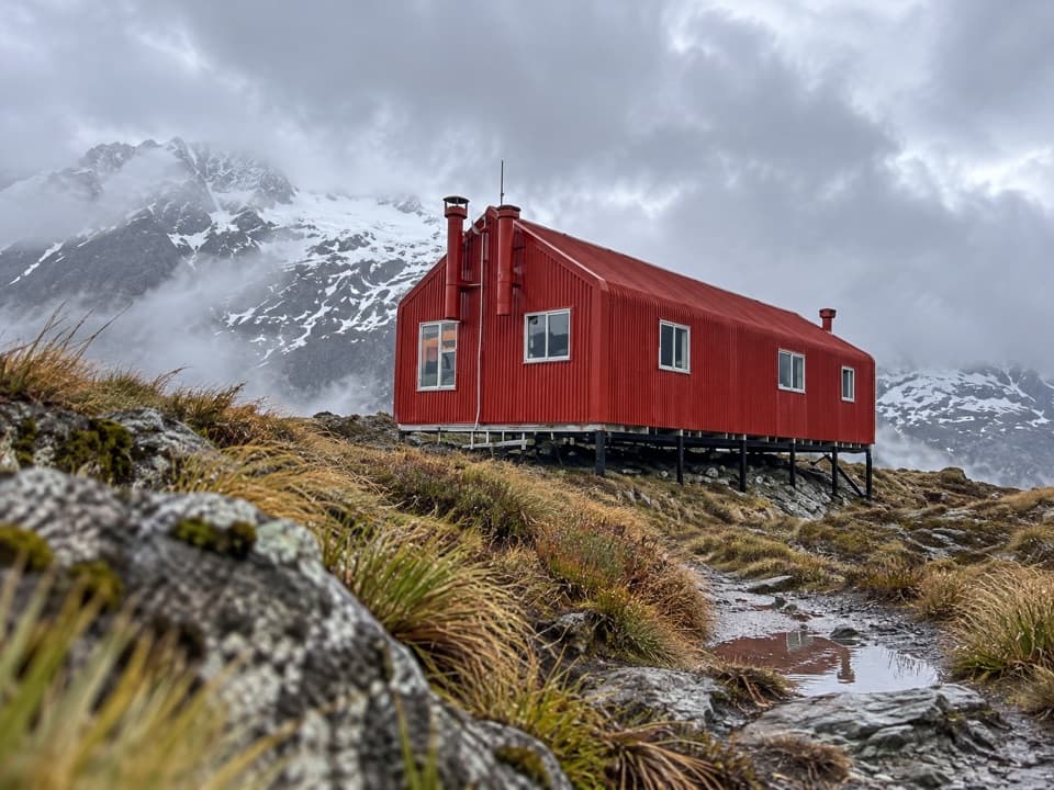
French Ridge Hut (20 bunks) sits on the ridge with knockout views and a famously scenic long-drop. It’s an alpine hut with lighting and a rainwater tank—but no heating, gas, or cookware—so bring your full cooking setup and a sleeping bag. Bookings are required year-round, Backcountry Hut Passes aren’t valid, and published fees currently differentiate NZ Alpine Club members and non-members. Many parties split the approach by staying first at Aspiring Hut (larger, bookable, and typically better equipped in season). Water is reliable at the huts; treat or boil. There are tarns on the upper ridge in season.

What It Feels Like

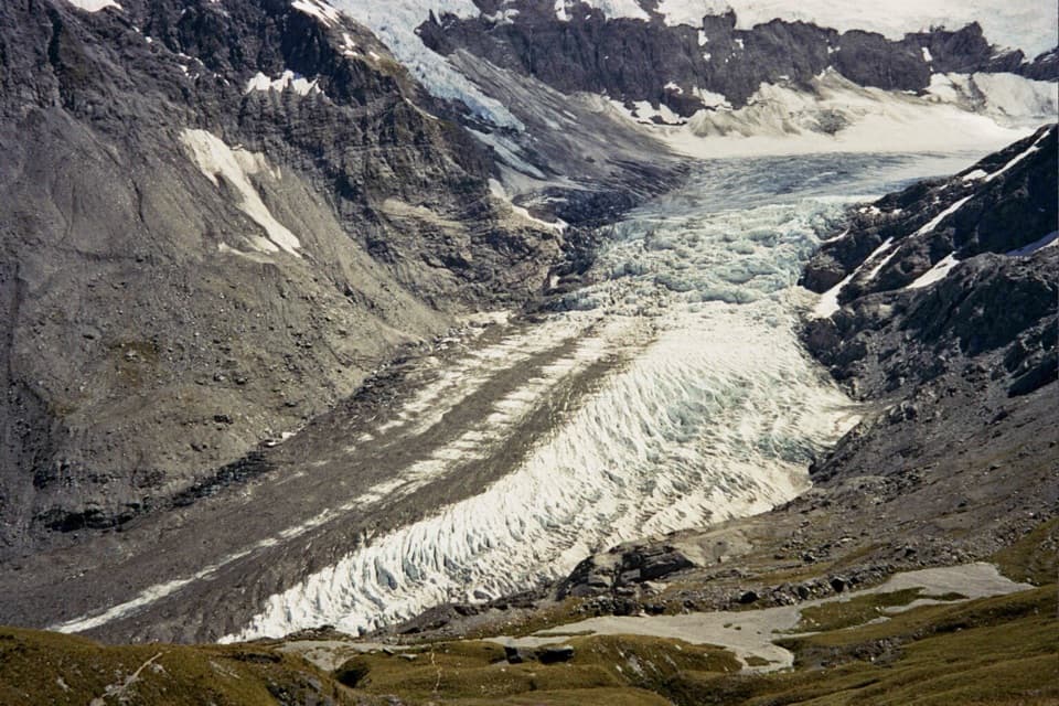
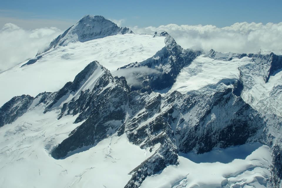
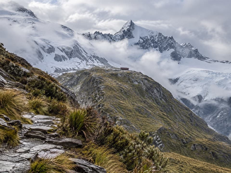
Expect an exposed ridgeline, sections close to drop-offs, and a bush climb that’s “more root than route.” It’s physically and mentally taxing—especially with an overnight pack—and the descent demands as much focus as the ascent. On clear days you’ll eye up big country across Gloomy Gorge to Rob Roy and the surrounding peaks.

Best Time to Hike

Prime season is roughly December–March when daylight is long and snow/ice are least likely. Outside midsummer, treat this as an alpine approach: weather turns quickly, and the upper track is treacherous in wind, rain, or snow. Avalanche hazard can affect the route from May to November. Start early for cooler temps and steadier travel on the big climb.

Tips and Tricks

  • Pack light—every extra kilo hurts on the rooty scramble.
  • Poles help in the valley; light gloves are handy for roots and rock.
  • Carry 2–3 L water capacity and a filter/tablets; top up at huts.
  • Swing bridges have user limits; be patient and never overload them.
  • Road note: the last stretch to Raspberry Creek is gravel with unbridged fords that can be impassable after rain; low 2WDs may struggle. You can park short of the final fords and walk.

Wildlife to Watch For

Kea are common alpine characters—curious and clever. Guard your gear around the hut.

Pros

  • New swing bridges reduce river crossings to reach the track in normal flows
  • Red-roof hut perched on the ridge delivers huge sunrise and sunset views

Cons

  • Final 3 km climbs roughly 1,000 m on slippery roots and rock slabs
  • No cooking gear or heating at French Ridge Hut—bring a full setup
  • Trailhead road fords can be impassable after rain, stranding low 2WDs

Parking

Raspberry Creek car park west of Wānaka; last ~30 km are gravel with several unbridged fords—after rain a low 2WD may not get through. You can park before the final fords and walk the last section.

Caution

Experienced trampers only: very steep, hands-on climbing; exposed ridgeline; rapid weather changes year-round; avalanche risk May–Nov; use swing bridges when rivers run high; road fords may be impassable after rain.

The Parkwolf tour guide sitting on a phone mounted in a car

Parkwolf Tour Guide

Like a tour guide in your car.

Bring Mount Aspiring trail research into the car, with offline maps and stories that play as you drive.Download Parkwolf on the App Store