
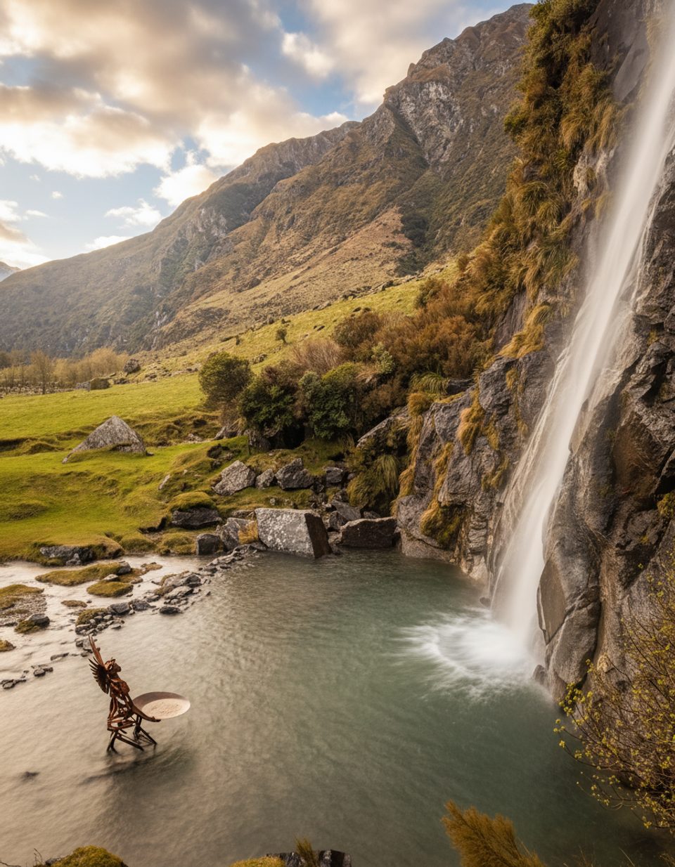
Place · 1.3 mi away
Moderate
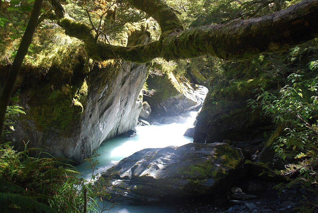
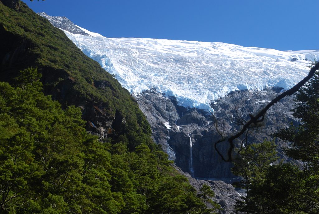
A half‑day out‑and‑back to classic New Zealand alpine scenery: beech forest, a thundering stream, waterfalls, and a blue‑white hanging glacier. The walk is roughly 10–10.3 km total (about 6.4 miles round trip) and typically takes 3–4 hours, with around 400–500 m of steady ascent. It’s a well‑formed “walking track,” but expect uneven, rocky sections near the top and a few short, steeper pitches. If you’re choosing between headline hikes nearby, many hikers rate this more varied and rewarding than the area’s busier viewpoint climbs.
From Wānaka, allow about 1 hr 20 min to the Raspberry Creek (also called Raspberry Flat) car park at the end of the Wānaka–Mount Aspiring Road. The last ~30 km are gravel, and the final ~10 km include several unbridged fords that can rise quickly after rain. Many rental contracts exclude unsealed roads and water crossings—check your terms, or book a shuttle/guided option from Wānaka. Road sections can close after heavy rain; always check conditions before you go.
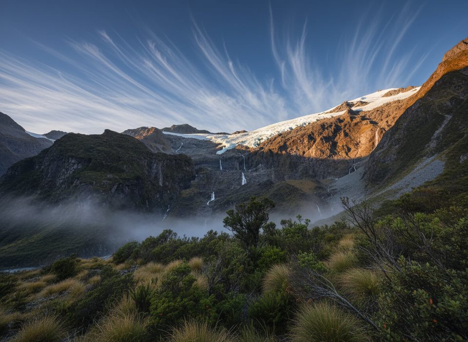
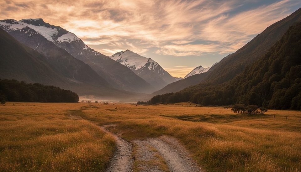
A wide valley path leads to a large swing bridge over the West Matukituki River about 15 minutes from the car park. From there, the track climbs through cool beech forest beside Rob Roy Stream, then breaks into alpine scrub with expanding glacier views. You’ll pass a lower lookout with early peeks at the ice; continue another short push to the upper lookout—the official end—for the best amphitheater of waterfalls, cliffs, and the Rob Roy Glacier hanging from Rob Roy Peak above. Kea (alpine parrots) are often seen here—clever, cheeky, and not to be fed.
Between the lower and upper lookouts, the track crosses active avalanche paths May–November. In that period, the strong advice is to turn around at the lower lookout unless you have avalanche training, gear, and current local information. Expect steep drop‑offs in places and icy/slippery surfaces in winter and early spring. The swing bridge has a user limit—be prepared to wait. Weather is alpine and changeable year‑round; pack warm layers and a rain shell.
There’s a large car park with toilets (water is non‑potable) at Raspberry Creek, and another toilet partway between the lower and upper lookouts. Don’t leave valuables in your vehicle. Cell coverage can be limited on the track. Footwear with good grip is recommended; trekking poles help on the descent and in rocky sections.
Clear summer days offer the easiest travel and full access to the upper lookout. In winter and spring (roughly May–October), plan to stop at the lower lookout due to avalanche risk. For photography, aim to reach the upper lookout earlier in the day—afternoon light can sit behind the glacier and wash out the scene. Start early to enjoy calmer fords and fewer people.
Raspberry Creek (Raspberry Flat) car park at the end of the Wānaka–Mount Aspiring Road; large lot with toilets (non‑potable water).
Unbridged fords can become impassable after rain; avalanche risk between lower and upper lookouts May–Nov; steep drop‑offs and occasional ice; limited cell service; secure valuables at the car park.
Place · 1.3 mi away
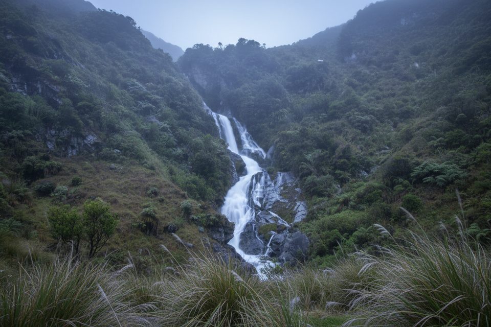
Place · 1.5 mi away
Place · 2.3 mi away
Place · 2.3 mi away
Challenging · 0 mi away
Easy · 0 mi away
Challenging · 0 mi away
Moderate · 0 mi away

Parkwolf Tour Guide
