
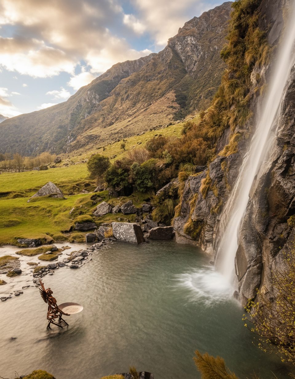
Place · 1.3 mi away
Challenging
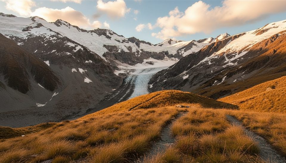
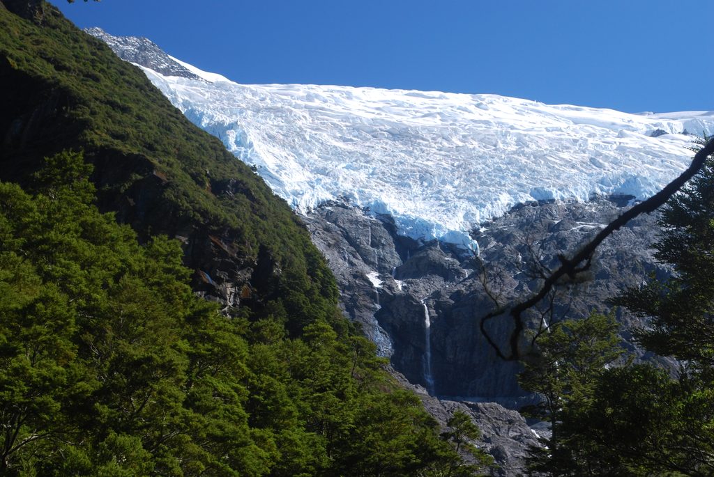
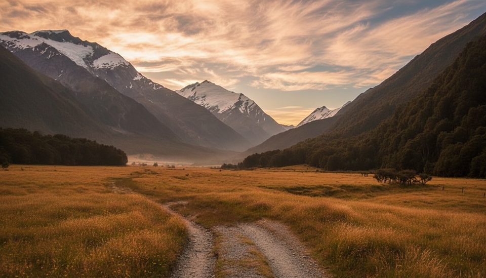
This is a serious alpine route linking the West Matukituki Valley to the Dart, prized for colossal views of Tititea / Mt Aspiring and the Dart Glacier—and notorious for steep, exposed terrain where a slip can be fatal. Only experienced trampers with strong navigation should attempt it. Expect hands‑on scrambling above the bushline, long stretches fully exposed to weather, and multiple decision points where turning back may be the smart call.
From Raspberry Creek car park to the saddle area is about 15 km one way; most parties treat it as an out‑and‑back of roughly 30 km/18.6 miles total. Very fit teams manage a long day (about 9–12 hours return). Many prefer 1–2 days with a night near Cascade Creek. Ascending from the Matukituki side is considered the safer direction than descending the steep sections.
Aim for settled mid–late summer conditions. Early season snow or ice can linger on the steep upper slopes; if snow is present, carry an ice axe and crampons—and know how to use them. Start early in summer to beat heat on the sun‑exposed slopes and to reduce afternoon snowmelt surges in streams. Avoid this route in rain, high wind, poor visibility, or if you’re uncomfortable with exposure.
Aspiring Hut (about 2–3 hours from the road end) has 33 bunks with gas and flush toilets in season. Camping is only permitted near Cascade Creek, where there’s a toilet; there’s no other suitable camping on the alpine section. Water: fill in the forest stream before the bushline, then again at Cascade Creek.
Treat the bushline and the final gully to the pylon as formal go/no‑go checkpoints. The alpine section is fully exposed and becomes treacherous when wet, icy, or snowy. Streams (including Cascade Creek and Dart side streams if continuing through) can rise quickly with rain or snowmelt. Kea will chew tents and swipe gear—stow everything. This route is not suitable for those with a fear of heights.
The Raspberry Creek car park is over an hour from Wānaka on sealed then gravel road with several unbridged fords; fine in dry summer for most vehicles, but fords may be impassable after rain. For a longer through‑route, advanced parties can continue from the saddle to Dart Hut and exit via the Rees–Dart Track over two additional days.
Raspberry Creek car park at the road end; final approach is gravel with several unbridged fords and basic facilities.
Expert-only alpine route with steep, slippery, and very exposed terrain; unbridged stream near the bushline is last reliable water and may be impassable in rain; final gully to the 1835 m pylon is the crux; weather deteriorates fast; carry ice axe and crampons if snow is present; secure gear from kea.
Place · 1.3 mi away
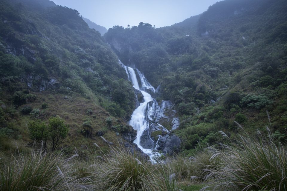
Place · 1.5 mi away
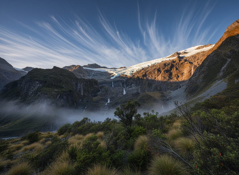
Place · 2.3 mi away
Place · 2.3 mi away
Moderate · 0 mi away
Easy · 0 mi away
Challenging · 0 mi away
Moderate · 0 mi away

Parkwolf Tour Guide
