Know the access
The approach to the base crosses private farmland, and current permission for public walkers is not established. Treat the roadside view as the reliable option; do not cross the farm gate or disturb stock without permission.

Sight · Mount Aspiring National Park
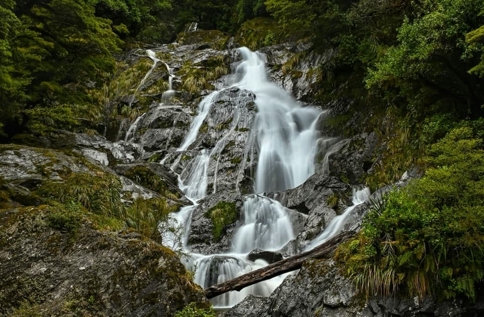
A tall branching waterfall breaks up the long valley drive.
Overview
Map
Plan your stop

The highest, rockiest slopes around here are a summer buffet for grizzly bears.
Mount Aspiring Tour Guide
Parkwolf is a GPS audio tour guide for Mount Aspiring National Park. As you drive, it chimes in with what’s ahead: hidden gems, upcoming stops, history, geology, and wildlife, right through your car’s speakers.
See the Mount Aspiring audio tourRecorded for this place
Wishbone Falls from the Valley Road“Wishbone Falls is up ahead, with branching white streams dropping down a dark, shrub-covered cliff. I'd keep this as a brief roadside pause if you're already exploring the valley.”
Plays as you drive up to Wishbone Falls in the Parkwolf Mount Aspiring Tour Guide.
More stories near here in the app
“Fantastic app with many points of information… It’s great to just turn on while you’re driving and it gives you an audio tour of the national Park. We love it!!!!”


Guide
Wishbone Falls is a tall, branching waterfall beside the Wanaka–Mount Aspiring Road in Matukituki Valley, roughly 3 km before the Raspberry Flat road end. Its white streams drop over a dark, shrub-covered cliff, and the falls are visible from the road. Keep it as a brief pause if you are already heading up the valley; the drive is the bigger commitment.
At about 77 m, the waterfall has real scale for a roadside stop. The water divides into several ribbons across the rock face; frame the branches together against the cliff so the split shape reads clearly.
If you continue to Raspberry Creek, it is about 54 km from Wānaka; the last 30 km are gravel, with several creek crossings in the final 10 km. Heavy rain can make the fords impassable to 2WD vehicles and sometimes 4WDs. After 24 hours with little or no rain, they are usually passable to 2WD vehicles, including campervans. Check current conditions before continuing and turn back if a crossing is unsafe.
Wildlife
 60 sightingsKeaMost seen around 5 PMSighting map
 112 sightingsRockwrenMost seen around 8 AMSighting map
 26 sightingsYellowheadMost seen around 8 AMSighting map
 13 sightingsTūīMost seen around 7 AMSighting map
 27 sightingsBellbirdMost seen around 7 AMSighting map
 35 sightingsRiflemanMost seen around 8 AMSighting map
Sighting maps show where each species has been reported across Mount Aspiring. Wildlife moves, so no sighting is guaranteed.
Keep exploring
 ChallengingKitchener Track to Aspiring Flats30 km · 11 hr · 1.8 km awayA rough, full-day route to a big Kitchener Cirque view
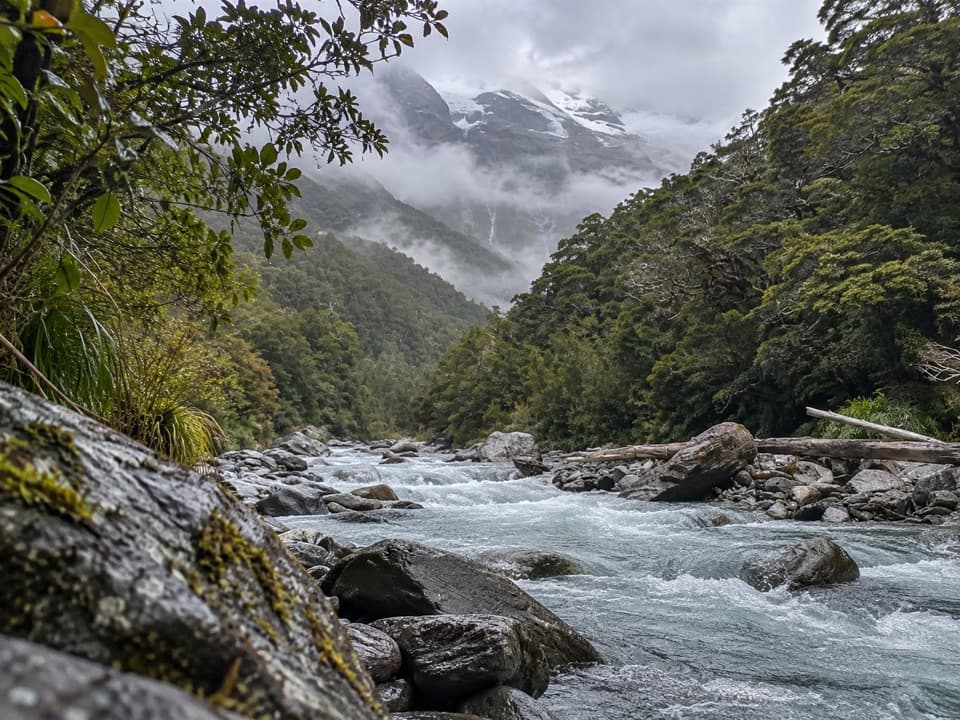 ChallengingGlacier Burn Track (East Matukituki)14 km · 5 hr · 1.8 km awayA long valley tramp to Glacier Burn and an Avalanche Glacier view.
 ModerateRob Roy Track10 km · 4.5 hr · 2.1 km awayA swingbridge, beech forest and glacier views reward the climb.
 ChallengingLiverpool Track30 km · 13 hr · 2.1 km awayA long, exposed climb to a hut above Matukituki Valley.
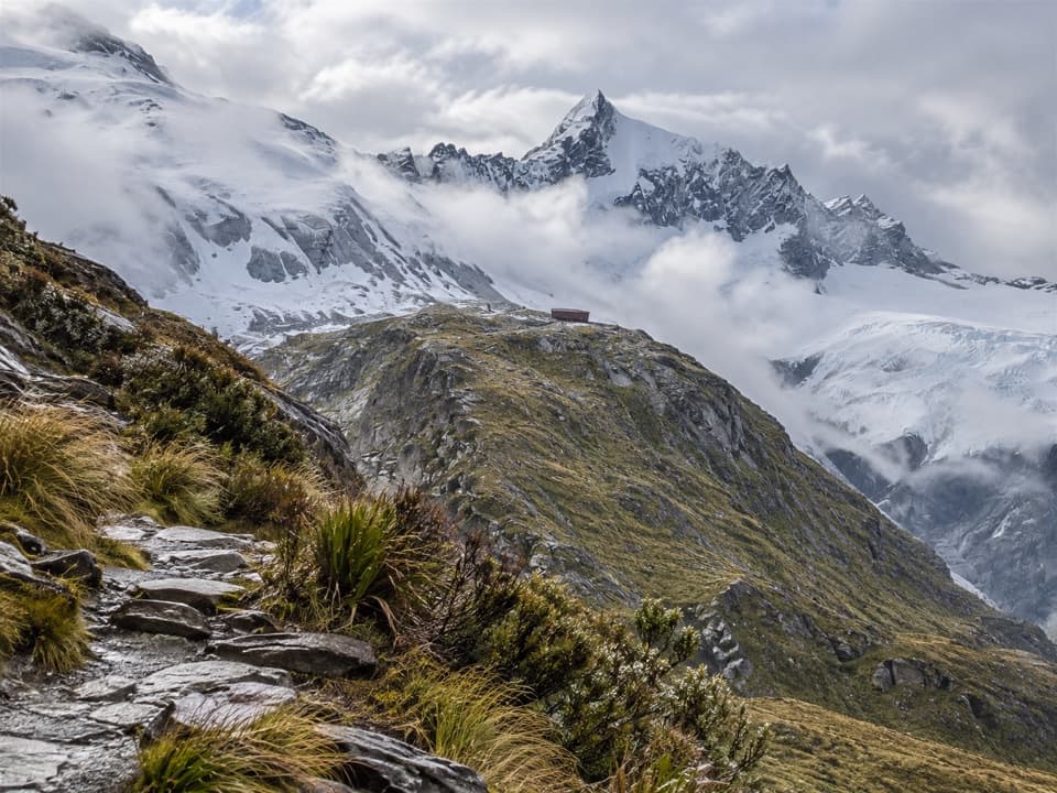 ChallengingFrench Ridge Track32.4 km · 13.5 hr · 2.1 km awayClimb from grassy valley flats to a hut above the alpine bushline.
 ModerateAspiring Hut Track18 km · 4.5 hr · 2.1 km awayLong valley flats lead to a hut beneath the Southern Alps.
 ChallengingWest Matukituki Track34.4 km · 11.5 hr · 2.1 km awayA long out-and-back into the upper West Matukituki Valley.
 ChallengingShotover Saddle Route16 km · 9 hr · 2.1 km awayA steep, rough climb to a tarn shelf above the West Matukituki.
Parkwolf’s Mount Aspiring ranking

The audio tour guide for the drive, plus offline maps, trails, and wildlife heatmaps for when the signal drops.