
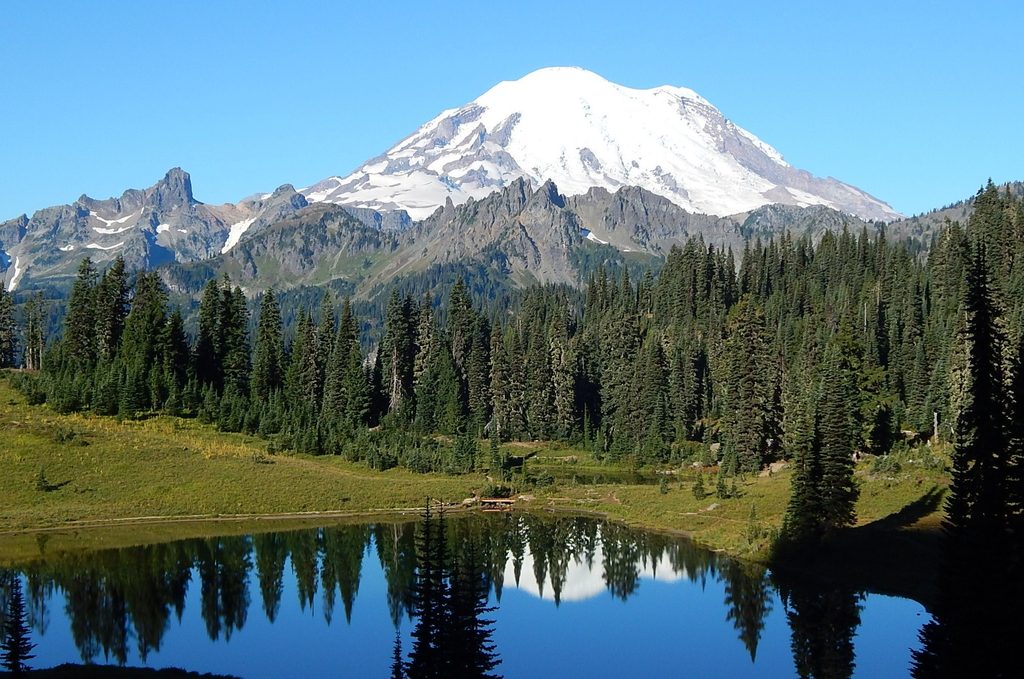
Place · 1 mi away
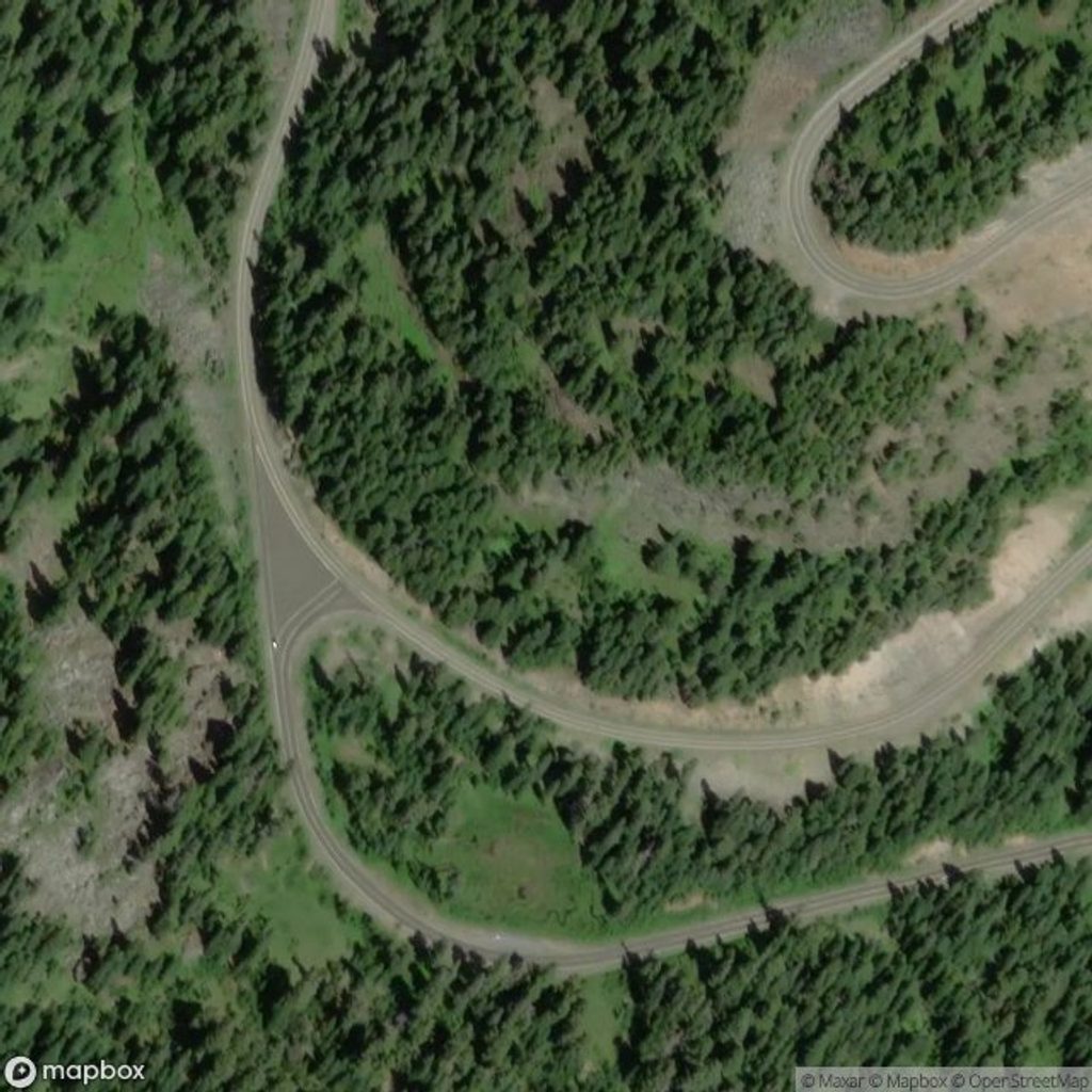
Sitting at 4,675 feet, Cayuse Pass is the high mountain junction where SR 410 and SR 123 meet, roughly five miles west of Chinook Pass. It’s a scenic slice of the Cascades and a key link on the Chinook Scenic Byway, but think of it more as a crossroads than a hangout spot.
When open, this is the gateway that makes the northeast and southeast sides of the park click together. From here, you can reach the White River/Sunrise side (including Glacier Basin and White River Campground via the Sunrise Road), popular trailheads like Crystal Lakes, Owyhigh Lakes, and Summerland, or head toward Ohanapecosh, Grove of the Patriarchs, and onward to Stevens Canyon/Paradise.
This is a drive-through destination with classic Cascade forests and mountains all around. There isn’t a developed overlook or documented facilities right at the summit, so the "view" is really the drive itself. Cyclists and motorists love the sweeping, curvy pavement when conditions are good.
Cayuse stacks up serious snow—think deep snowpack and avalanche exposure—so it typically closes for the winter and reopens in late spring. Even near opening, lingering snowbanks and cool temps are common. Weather shifts fast at this elevation, even in midsummer.
Plan as if there are no services at the pass: no documented restrooms, parking lots, or food. Commercial vehicles are prohibited, and there’s a 13′1″ tunnel height limit along the corridor. Always verify current road status before you commit to this route.
Use the junction to branch to: Crystal Lakes, Owyhigh Lakes, Summerland, Glacier Basin, White River Campground and the Sunrise area, plus Ohanapecosh and the Grove of the Patriarchs.
Mid to late summer is prime—after snowmelt and once the corridor is fully open. Shoulder seasons can be gorgeous but come with variable weather and the risk of closures.
Place · 1 mi away
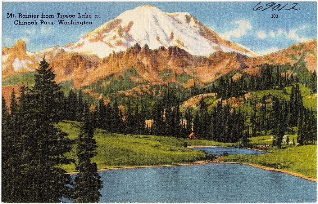
Place · 1.1 mi away
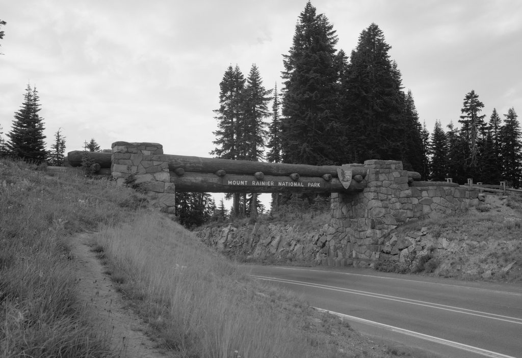
Place · 1.1 mi away
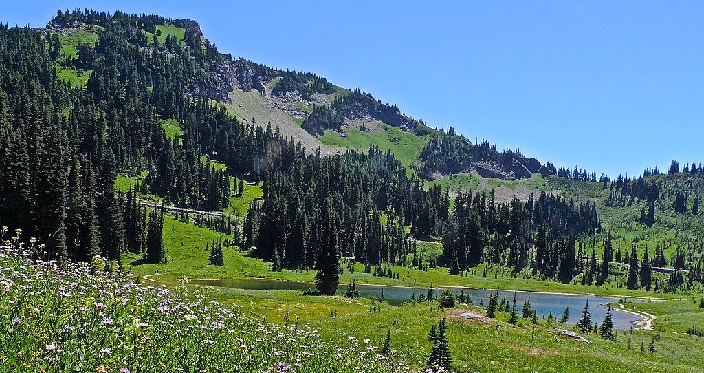
Place · 1.5 mi away
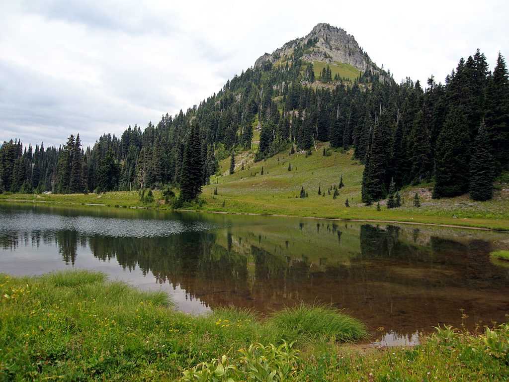
Easy · 1 mi away
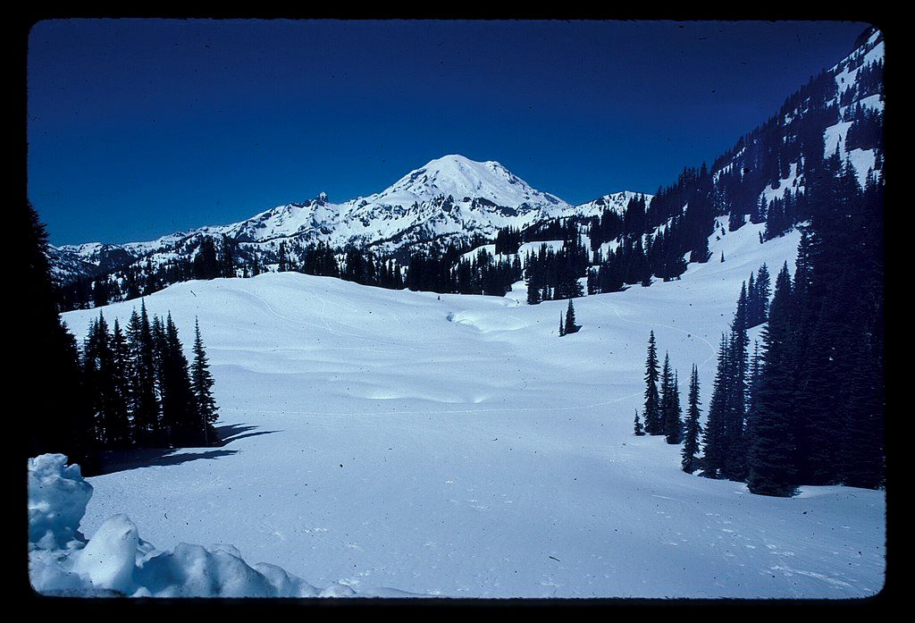
Easy · 1.1 mi away
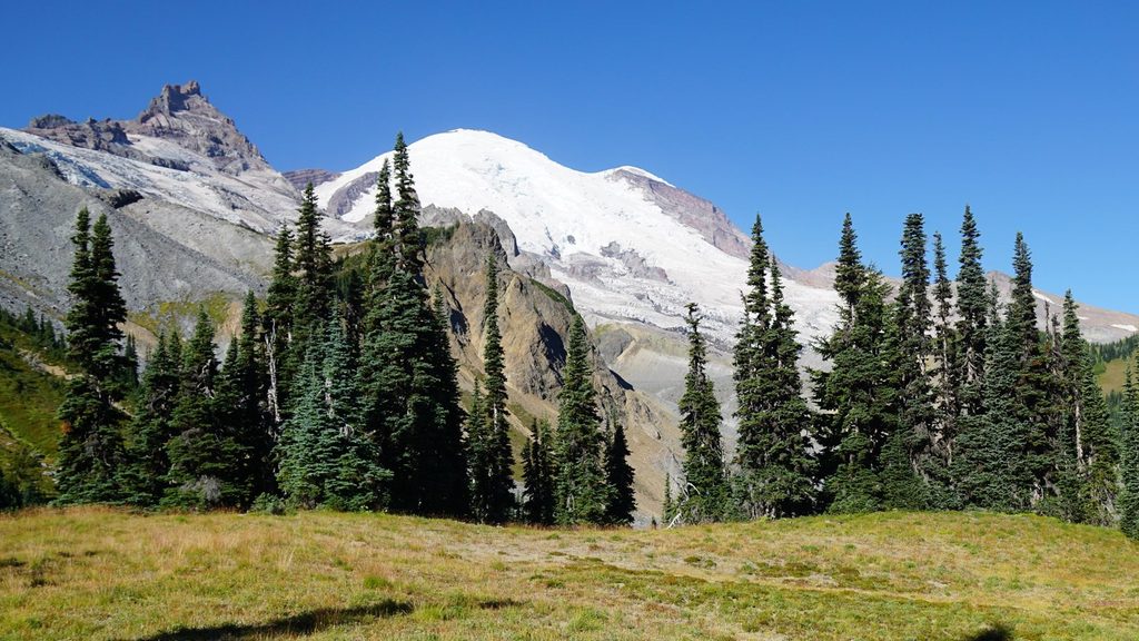
Moderate · 3.7 mi away
Challenging · 3.8 mi away

Parkwolf Tour Guide
