
Place · 0.5 mi away
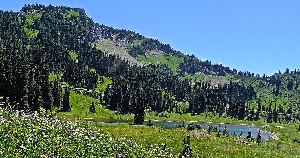
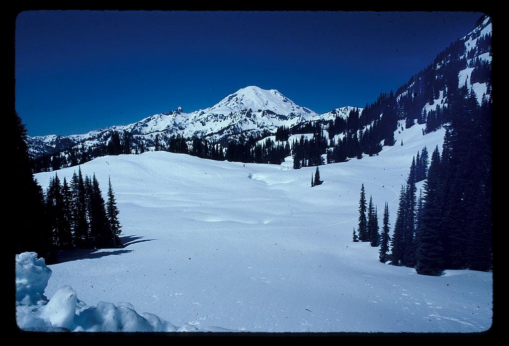
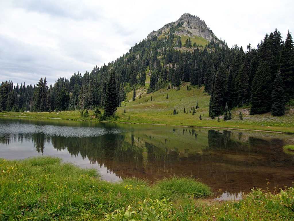
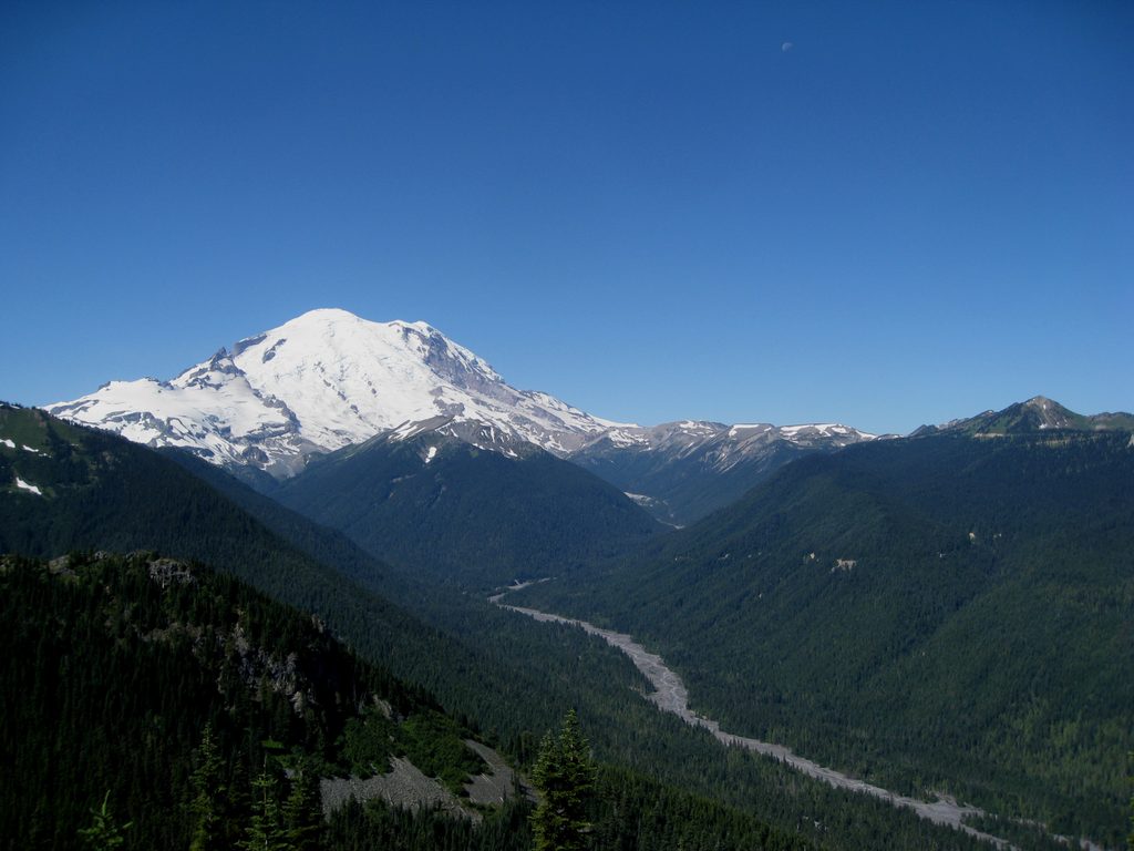
Naches Peak sits at Chinook Pass on the park’s east side, with a beloved loop trail that wraps around the mountain’s flanks. It’s the classic easy win: about 3.3–3.4 miles with roughly 500–600 feet of gain, yet it dishes out constant views, flower-filled meadows, and glittering lakes.
This area comes alive from mid-July through mid-August with lupine, paintbrush, pink heather, and more. By late summer into early fall, huckleberries line sections of trail. In heavy snow years, expect lingering snow (and some mud) into late July on the north and east aspects.
You’re squarely in subalpine habitat: marmots whistle from boulder piles, pikas squeak in talus, and deer browse the meadows. Berry patches and wildflowers draw birds and small mammals, and the occasional black bear sighting isn’t unheard of—give all wildlife plenty of space.
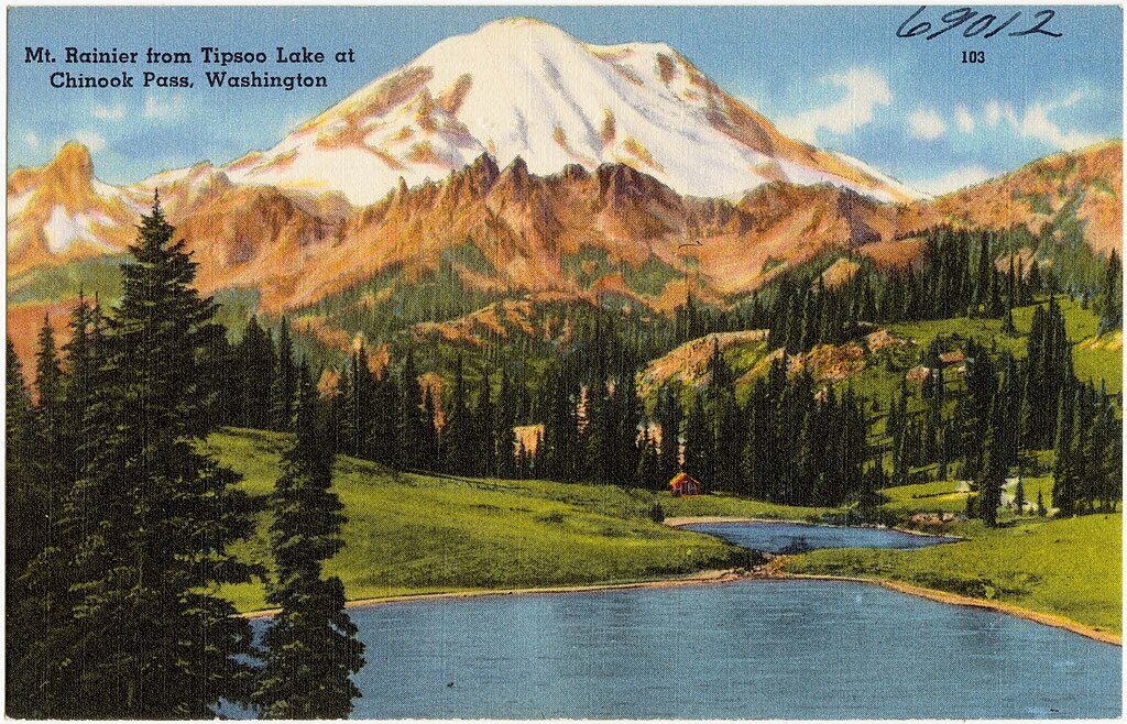
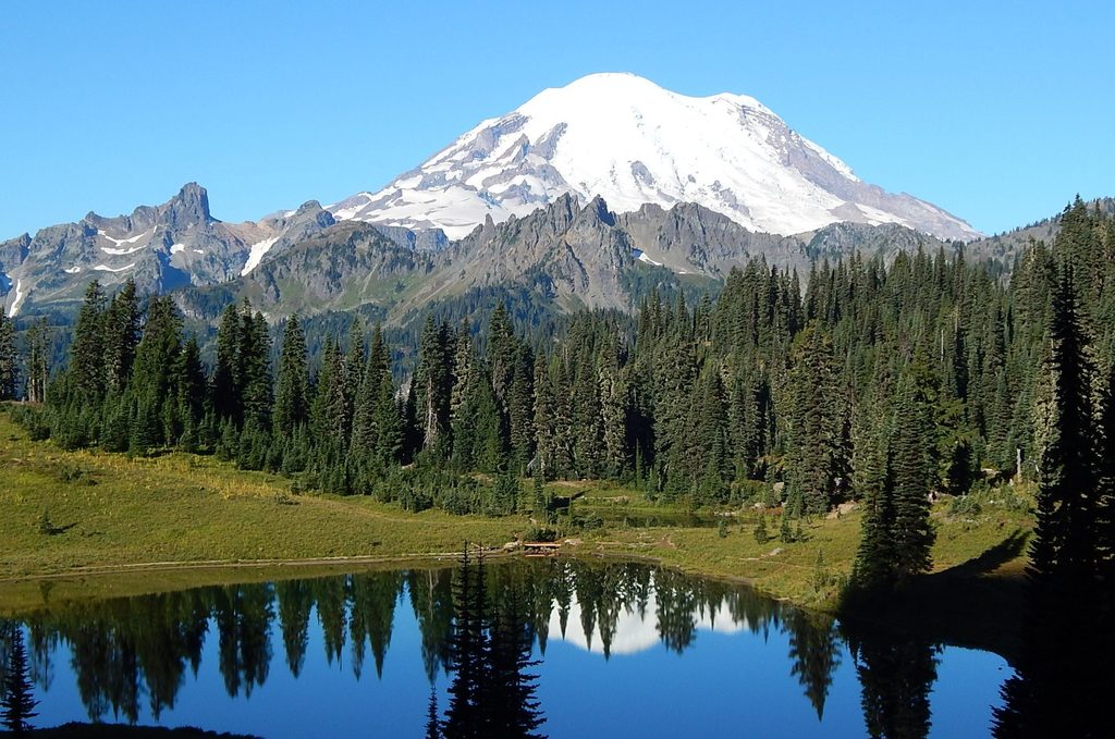
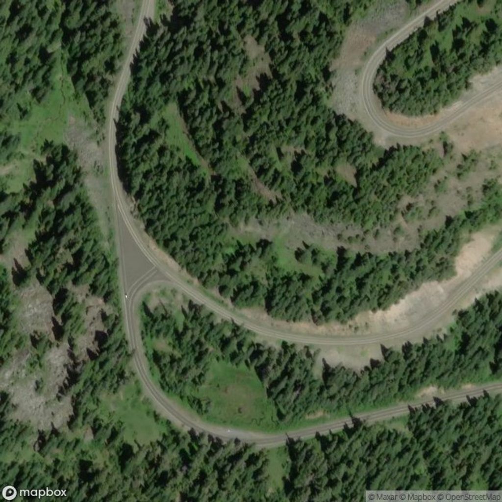
Most people park at Tipsoo Lake on SR 410, about half a mile west of Chinook Pass. The loop cleverly straddles the park boundary, using a segment of the Pacific Crest Trail outside the park and a Naches Peak trail segment inside it. That split matters: no dogs are allowed inside the park, but they are allowed on the PCT section outside the boundary. There’s no camping or fires on the loop within the park, and no potable water—treat natural sources if you must.
This is one of the park’s most popular hikes for good reason: huge views for minimal effort, nonstop variety, and that postcard look around every bend. Just plan around the crowds and seasonal snow, and you’ll have a banner day.
Naches Peak takes its name from the Naches River, nodding to regional Indigenous heritage and the broader geography of the east-side Cascades.
Place · 0.5 mi away
Place · 0.5 mi away
Place · 0.5 mi away
Place · 1.5 mi away
Easy · 0.5 mi away
Easy · 0.5 mi away
Challenging · 4 mi away
Challenging · 4 mi away

Parkwolf Tour Guide
